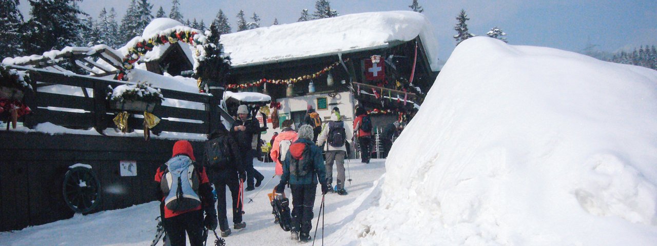
This snowshoe hike for beginners combines everything that makes snowshoe adventures enjoyable: healthy, relaxing outdoor exercise in a beautiful, peaceful winter landscape. The hike gains only 350 vertical meters, with the highest point being the summit of Brunschkopf Peak at an elevation of 1,510 meters above sea level, and uses both winter hiking trails as well as easy open terrain. Hikers will enjoy magnificent views of Seefeld as well as of Seefelder Spitze and Reither Spitze Mountains. Despite all its winter wonderland beauty, this hike can be a bit of a route-finding endeavor.


Snowshoe
Starting point
Seefeld-Kirchwald (Olympia Hall), elev. 1,180m
Hike to
Brunschkopf Peak
Finishing point
Seefeld-Kirchwald (Olympia Hall), elev. 1,180m
Mountain chain
Mieming Mountains
Length
9.6 km
Total hiking time
2 h 30 min
Features
- Circular hike
Difficulty rating
easy
Altitude
Elevation uphill 350m
Vertical metres downhill 350m
Parking
Car Park at Olympia Hall in Seefeld-Kirchwald
Downloads
Trail description
Starting at the car park, the route leads through the homes in Kirchwald and along the trail to Köhlerbödele before continuing gently uphill, with some short downhill sections, as far as the Wildmoosalm, traversing the cross-country skiing trails twice on the way. From the car park of the Wildmoosalm (1,314m, bus stop) the route leads to the Brunschkopf-Panoramaweg (signpost) and through the pastures of the Wildmoosalm in a southerly direction along a steep trail up to 1,380m (signpost). Hikers should stay on the "Möserer Höhe" trail (no. 62 and 63) and head west; there are several steep sections. From the forest, hikers loop around towards the clearing and the highest point at 1,510m, where there is an information board. From the wide summit plateau, the route then leads west to another vantage point with an information board before descending slightly to a signpost and then ascending into the forest for a short time before the trail divides (1,492m; hiking pass stamping station). The route then heads in a northwesterly direction and climbs up along a number of steep corners to the Grießebmat and the electricity pylons (1,410m; mast and signpost). It finally loops around down onto the Wildmoosstraße, and then almost flat to the Wildmoosalm. From here, the rest of the walk back is along the already familiar trail to the homes in Kirchwald/Seefeld.
Please Note: Be prepared to adjust your activity based on current conditions. As a general rule, if there is fresh snow, conditions may be better suited for snowshoeing; if the snow is old and well-travelled, it may be better for winter walking. For avalanche conditions visit lawine.tirol.gv.at.


