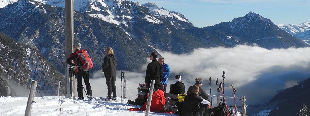
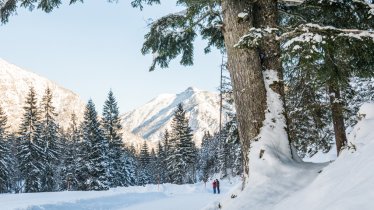
Gaining roughly 600 meters, this route offers all the beauty and majesty found in the wintry mountains with the incredible scenery shrouded in a blanket of snow. Atop 1,562-meter Feilkopf Peak, snowshoers will get a superb panorama of nearly every peak in the Karwendel Range and of Achensee Lake below. The views from here are matchless. This loop is a wonderful way to experience the winter wonderland of the Alpine pastures between Gerntal und Falzthurntal Valleys. Snow-trekkers have the option to retrace their steps to the trailhead if some sections are closed due to avalanche danger.

Snowshoe
Starting point
Pertisau – Karwendeltäler Car Park (elev. 970m)
Finishing point
Pertisau – Karwendeltäler Car Park (elev. 970m)
Mountain chain
Karwendel Mountains
Length
14 km
Total hiking time
4 h 15 min
Features
- Circular hike
Difficulty rating
medium
Altitude
Elevation uphill 600m
Vertical metres downhill 600m
Fitness level
Technique
* These are approximate values and recommendations. Please take your personal fitness level, technical ability and the current weather conditions into account. Tirol Werbung cannot guarantee that the information provided is correct and accepts no liability.
Parking
Pertisau – Karwendeltäler Car Park (fee applies)
Downloads
Trail description
Trailhead of this enjoyable snowshoe walk is the Karwendeltäler Car Park at the Nordic Ski Center in Pertisau. Follow the road westwards into Gerntal Valley until you reach Tunigenwiese (elev. 991m; marked by a signpost). Here, turn to the northeast and walk along a flat section along the hiking path (signposted) before a switchback brings you to Feilalm Alpine Pasture Hut (elev. 1,372m). The first section of the approach to the summit leads in a loop around the homes, then along a wide trail until the path divides (elev. 1,523m, signposted) and leads from the west along a wide ridge up to the peak itself, which is marked with a large cross (elev. 1,562m). The descent is to the east. Descend through the steep open meadow down to the trail you used during the ascent, before continuing down to Feilalm Alpine Pasture Hut and along the hiking path into Gerntal Valley (car park, elev. 1,084m). At the crossroads, first head north to the banks of the creek (signposted) and then south-east out of the valley to Pletzachalm Alpine Pasture Hut (elev. 1,040m). The loop brings you back to the trailhead past Pletzachalm-Sennhütte Hut and along "Unterseebergsteig" trail.
Please Note: Be sure you know your avalanche warning signs before heading up. Be avalanche aware on this trek and be prepared to adjust your activity based on current conditions. If avalanches are prone, return to your starting point by the same way you came. For avalanche conditions visit lawine.tirol.gv.at.


