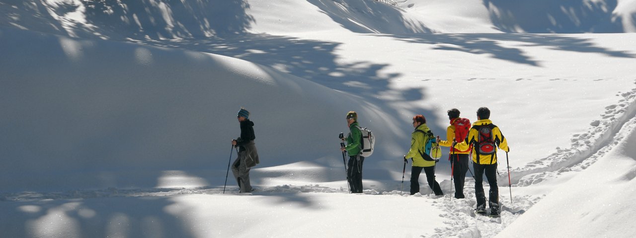
This charming snowshoe hike in the Tux Alps is characterised by stunning mountain views and absolute peace and quiet. It starts with a seldom-used approach to Weirich in the remote Navistal Valley, before continuing on to the popular Stöcklalm hut famous for its sledding run. The next section leads up to the renovated Navis Hut, a popular meeting point for ski touring enthusiasts. Hikers embarking on this tour should have a good feel for the snow and solid technique. There are a few tricky sections, but all of them can be overcome with plenty of caution and attention.


Snowshoe
Starting point
Navis (elev. 1,337m)
Finishing point
Navis (elev. 1,337m)
Mountain chain
Tux Alps
Length
9.1 km
Total hiking time
4 h 15 min
Features
- Circular hike
Difficulty rating
medium
Altitude
Elevation uphill 570m
Vertical metres downhill 570m
Fitness level
Technique
Best time of year
* These are approximate values and recommendations. Please take your personal fitness level, technical ability and the current weather conditions into account. Tirol Werbung cannot guarantee that the information provided is correct and accepts no liability.
Trail description
Starting at the local authority building ("Gemeindeamt"), the route first leads into Weirichtal Valley. At the first bend (wayside shrine), continue on straight, then a little later to the left over the bridge. Continue along a steep section to a point where the trail divides (elev. 1,480m); here, take the left-hand trail and continue up to the mountain ridge. At the end of the meadow, there is a closed gate which hikers must climb over before approaching Koch Hut (elev. 1,692m). At the end of this meadow is an open gate (signposted). Follow the barbed wire fence along the mountain ridge until the fence ends. Stay on the ridge, and follow the barbed wire fence until you reach the signpost at an elevation of 1,830 meters. Then head gently downhill through the open meadows (elev. 1,820m) before entering the forest once again. This is where you must pay close attention to the terrain and be careful at crossing several tricky sections. After a clearing in the forest with a raised wooden stand for hunters, continue walking down to an elevation of roughly 1,780 meters before climbing once again to Europa Hotel, then over to the forest road and on to Stöcklalm Hut (elev. 1,880m). The descent leads between the buildings of Stöcklalm and in a northwesterly direction through the dip in the landscape. Continue on to Schranzberghaus Lodge and to Naviser Hut before heading further down though a corridor cut through the forest to an elevation of roughly 1,650 meters. Take the sledding run until you get to a bend (elev. 1,600m) and then leave the trail and head through Schranzbergwald Forest into Grüner Au. The final section leads along the banks of Klammbach Creek with the road bringing you back to the local authority building.
Please Note: Be prepared to adjust your activity based on current conditions. As a general rule, if there is fresh snow, conditions may be better suited for snowshoeing; if the snow is old and well-travelled, it may be better for winter walking. For avalanche conditions visit lawine.tirol.gv.at.


