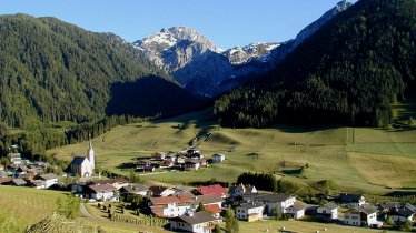
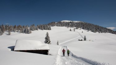
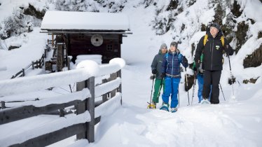
The start of this impressive circular walk, which begins in the settlement of Rauchenbach near Kartitsch, is so high that there are only about 200 vertical metres of altitude difference between the starting point and the highest point at 1,700m. The hike begins by passing through a series of snow-covered meadows towards the Kartitscher Sattel. After just a few minutes of walking there is a bench inviting walkers to sit down and admire the view. The second half of the loop has more forest sections and leads past a number of beautiful huts back to the starting point at the Klammerwirt guesthouse, which serves delicious local food including "Kaiserschmarrn" (thick chopped pancake with raisins topped with icing sugar).


Winter hike
Starting point
Gasthof Klammerwirt in Rauchenbach
Finishing point
Gasthof Klammerwirt in Rauchenbach
Mountain chain
Gailtal Alps
Length
6.5 km
Total hiking time
2 h 30 min
Features
- Circular hike
Difficulty rating
easy
Altitude
Elevation uphill 200m
Vertical metres downhill 200m
Fitness level
Best time of year
* These are approximate values and recommendations. Please take your personal fitness level, technical ability and the current weather conditions into account. Tirol Werbung cannot guarantee that the information provided is correct and accepts no liability.
Trail description
The hike begins at the Gasthof Klammerwirt in Rauchenbach near Kartitsch. The first section is approximately 500 metres long and leads gently uphill through snowy meadows towards the Kartitscher Sattel. Hikers must then turn sharp left, where the trail becomes less steep, and continue to the highest point of the trail at 1,740 metres above sea level. From here the trail leads gently downhill through a number of forest sections back to the starting point.


