Cross-Country Skiing

The Best Trails in Tirol for Advanced Cross-Country Skiers

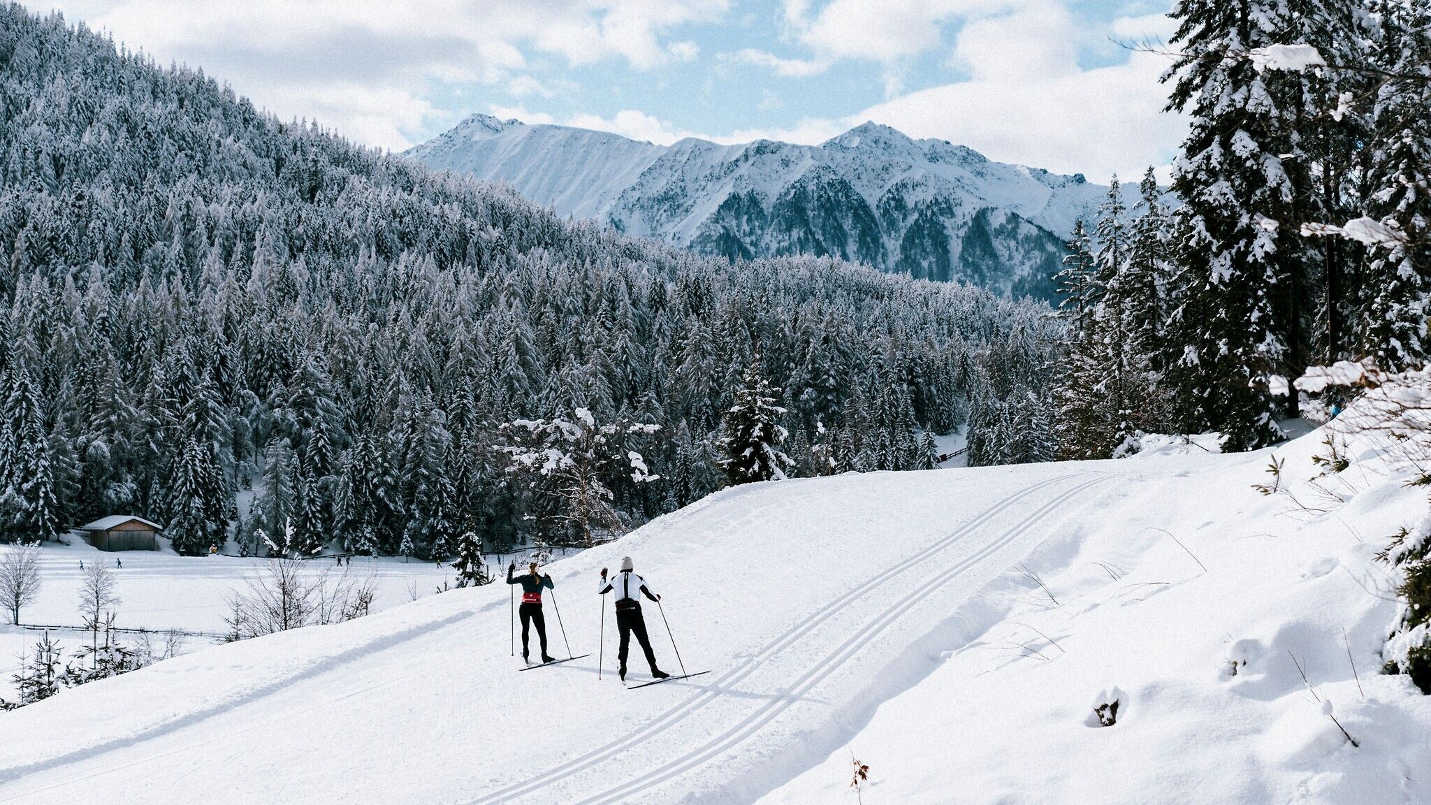
Cross-country skiing is a wonderful sport combining healthy exercise with the opportuni-ty to experience the beautiful winter landscape of Tirol at a slower pace. Many regions in Tirol offer challenging cross-country skiing trails for advanced and expert skiers featuring steep climbs, sweeping descents and plenty of kilometres.
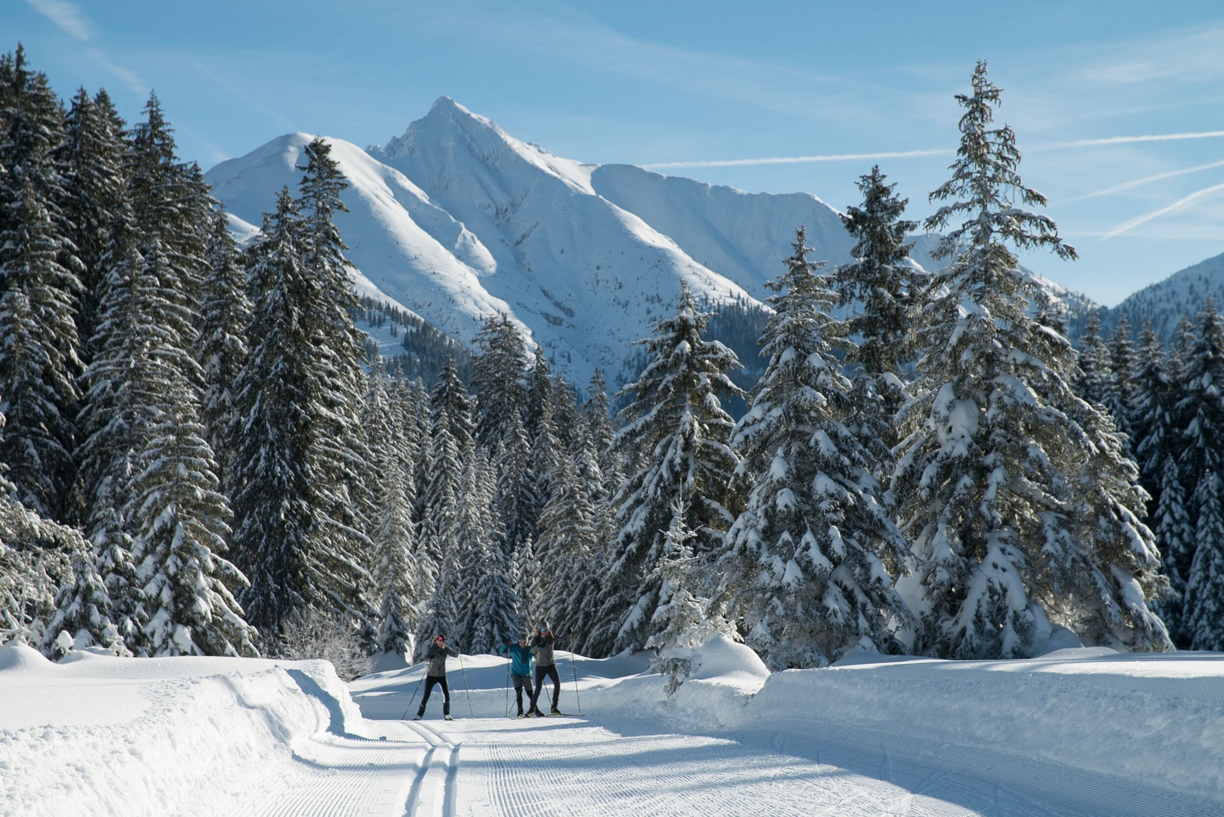
    • Opening hoursclosed
    • Difficultydifficult
    • Style: Skating, Classic
    • Length8.7 km
    • Elevation uphill169 m
    • PlaceLeutasch / Wetterstein Mountains & Mieming Range
  • Demanding trail with a steep, difficult ascent
  • Very scenic, varied forest, open land and mountain panorama
  • Several refreshment stops directly on the trail
More Information
    • Opening hoursclosed
    • Difficultydifficult
    • Style: Skating, Classic
    • Length6.0 km
    • Duration1:00 h
    • Elevation uphill164 m
    • PlaceAchenkirch am Achensee / Karwendel
  • Challenging route with a steep ascent to the plateau of a golf course
  • Panoramic ups and downs at the foot of the Karwendel
  • Refreshment stops in Achenkirch
More Information
    • Opening hoursclosed
    • Difficultydifficult
    • Style: Classic
    • Length2.3 km
    • Duration0:45 h
    • Elevation uphill96 m
    • PlaceUmhausen / Stubai Alps
  • Short, difficult trail in Niederthai in Ötztal, where snow is guaranteed
  • Steep ascent to a mountain ridge with a challenging, winding descent afterwards
  • Refreshment stops in the village
More Information
  • Challenging, high-altitude trail up to the Bielerhöhe, only for those in good shape
  • Absolute tranquillity in the valley due to the closure of the Silvretta High Alpine Road in winter
  • refreshments available at the Silvretta reservoir
    • Opening hoursclosed
    • Difficultymedium
    • Style: Skating, Classic
    • Length11.5 km
    • Duration3:40 h
    • Elevation uphill283 m
    • PlaceGaltür / Silvretta
  • Challenging trail in high alpine surroundings
  • several refreshment stops along the trail
More Information
    • Opening hoursclosed
    • Difficultydifficult
    • Style: Skating, Classic
    • Length5.9 km
    • Elevation uphill240 m
    • PlaceReith bei Kitzbühel / Kitzbühel Alps
  • Panoramic trail with challenging ascents
  • only groomed as a skating trail
  • Continuation to St. Johann, Oberndorf or Going possible
More Information
    • Opening hoursclosed
    • Difficultydifficult
    • Style: Skating, Classic
    • Length10.2 km
    • Elevation uphill260 m
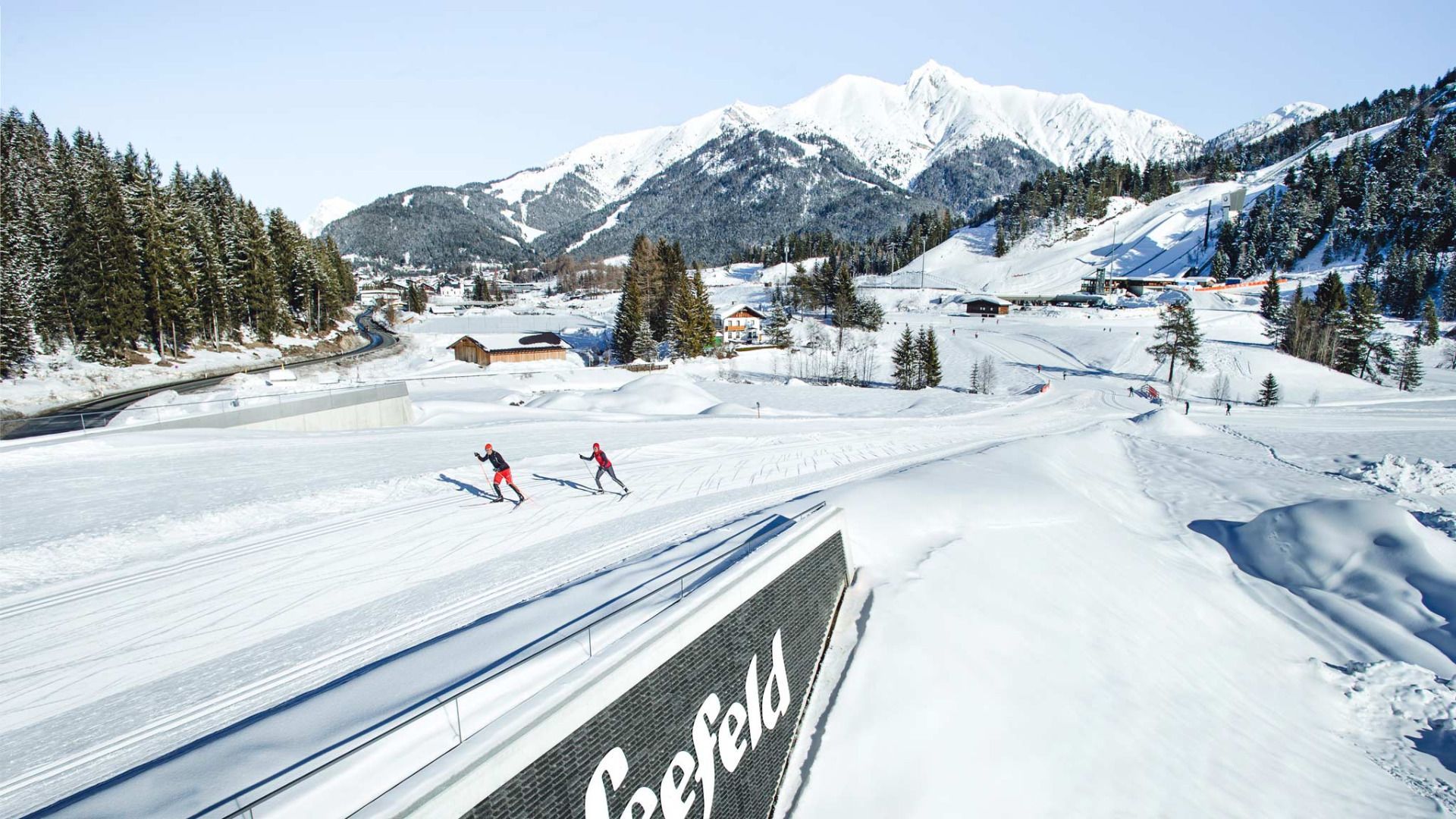
    • PlaceSeefeld / Wetterstein Mountains & Mieming Range
  • Cross-country skiing on the entire original route of the 2019 Nordic World Ski Championships
  • Difficult trail with crisp inclines and athletic sprints
  • Varied, picturesque landscape with forests, meadows and distant views
More Information
    • Opening hoursclosed
    • Difficultydifficult
    • Style: Skating, Classic
    • Length4.9 km
    • Elevation uphill91 m
    • PlaceHochfilzen / Kitzbühel Alps
  • the difficult trail is named after the biathlon world champion Dominik Landertinger, who lives in Fieberbrunn, and starts with a challenging downhill section
  • can be combined with the Dandler trail and the trail to Grießen
  • Free ski bus for all
More Information
    • Opening hoursclosed
    • Difficultydifficult
    • Style: Skating, Classic
    • Length13.0 km
    • Duration1:00 h
    • Elevation uphill165 m
    • PlaceWalchsee / Chiemgau Alps
  • Popular and long cross-country ski trail around the Miesberg and through the large Schwemm moor area in Kaiserwinkl
  • Mostly of medium difficulty, but with winding descents that are challenging
  • Refreshment stops in Walchsee and elsewhere
More Information
  • Challenging training round
  • on the tracks of the Tannheimer Tal ski trail
More Information
    • Opening hoursclosed
    • Difficultydifficult
    • Style: Skating, Classic
    • Length13.3 km
    • Elevation uphill174 m
    • PlaceKirchdorf in Tirol / Kaiser Mountains
  • Long, difficult loop at the foot of the Niederkaiser with magnificent views of the Kaiser mountains and Hohe Salve
  • Gentle start, followed by a long, challenging ascent
  • refreshment stop possible at Gasthof Rummlerhof
More Information

Find a trail with public transport

Here you can plan the best route to your chosen destination using public transport.

  1. 1. Enter the starting point

  2. 2. Select number of changes and maximum travel time

  3. 3. Select your preferred destination from the suggestions

More about trails for ambitious skiers

This might also interest you:

Newsletter

The mountain is calling? So does our newsletter!

In our monthly newsletter we reveal the best holiday tips for Tyrol.