 Mirja Geh (139).jpg")
Opening hours:closed
Difficulty:difficult
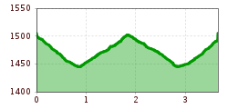
Length:13.3 kmElevation uphill:174 m:Style: Skating, Classic
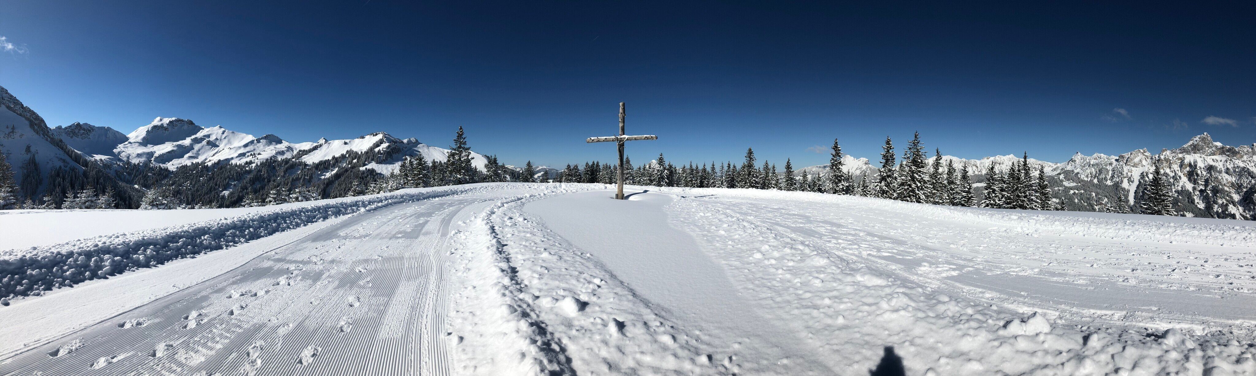
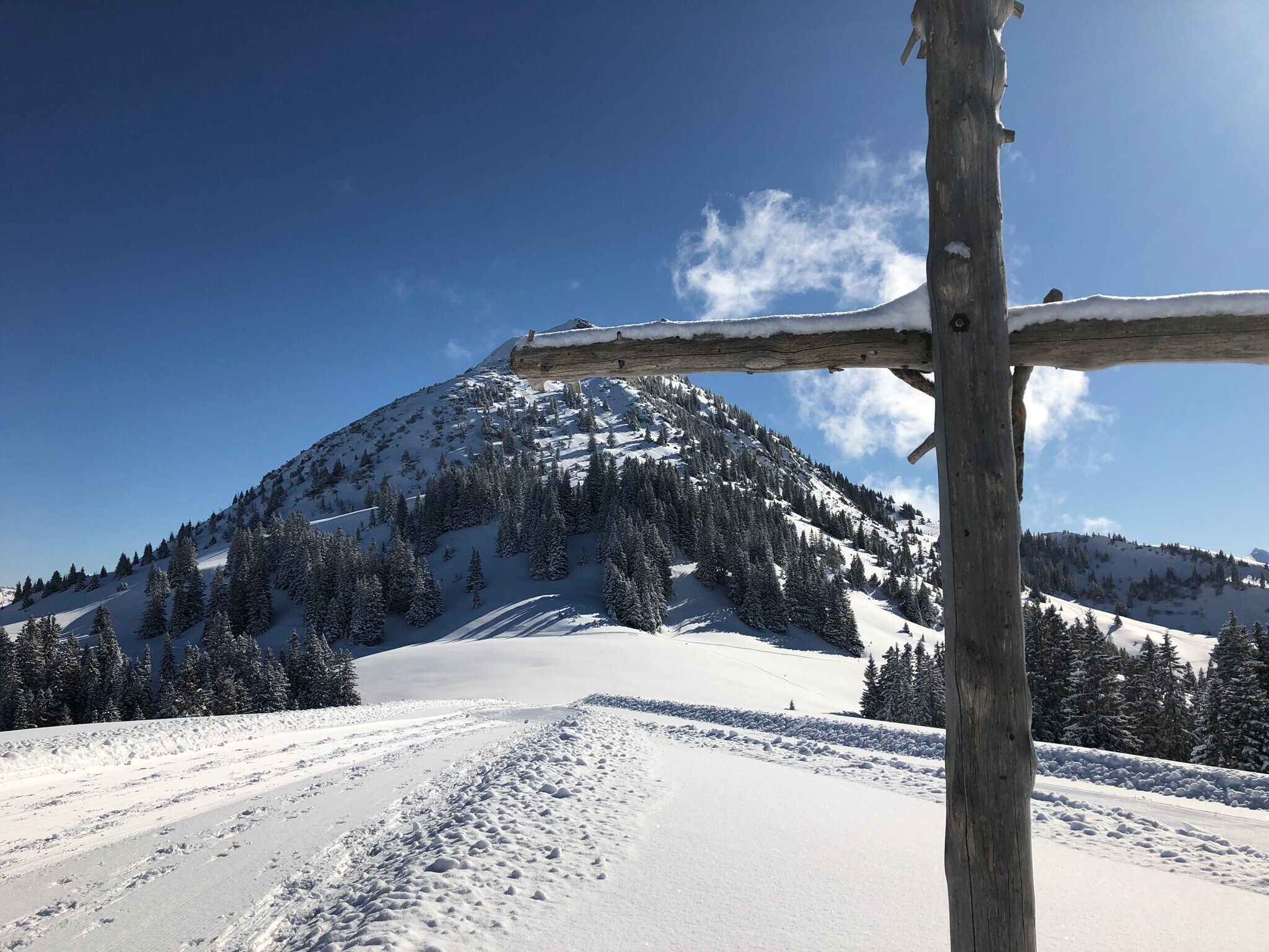
Short description:Enjoy the wonderful flair of this high-altitude cross-country ski run. A dreamlike view over the winterly Tannheimer Tal is waiting for you.Technique: ***Quality of experience: ******Recommended season:JanuaryFebruaryMarchDecemberProperties:Round tripScenicRefreshment stops availableFamily friendlyGeological highlightsCableway ascent/descent

Description:
Tyrolean cross-country ski trail seal of approval
For two decades now, the Tyrolean provincial government has been awarding the Tyrolean cross-country ski trail seal of approval under certain conditions to those who apply for it.
The Tannheimer Tal is a "cross-country skiing paradise". Not only the ADAC Ski Guide 2008 finds this and nominated the region as one of the top 10 skiing areas in the category Nordic/Cross-country skiing. There was also a special award from the Federal State of Tyrol: the "Cross-country Seal of Quality of the Federal State of Tyrol". This is valid for three years and criteria such as number of tracks, preparation, orientation or marking are regularly checked.
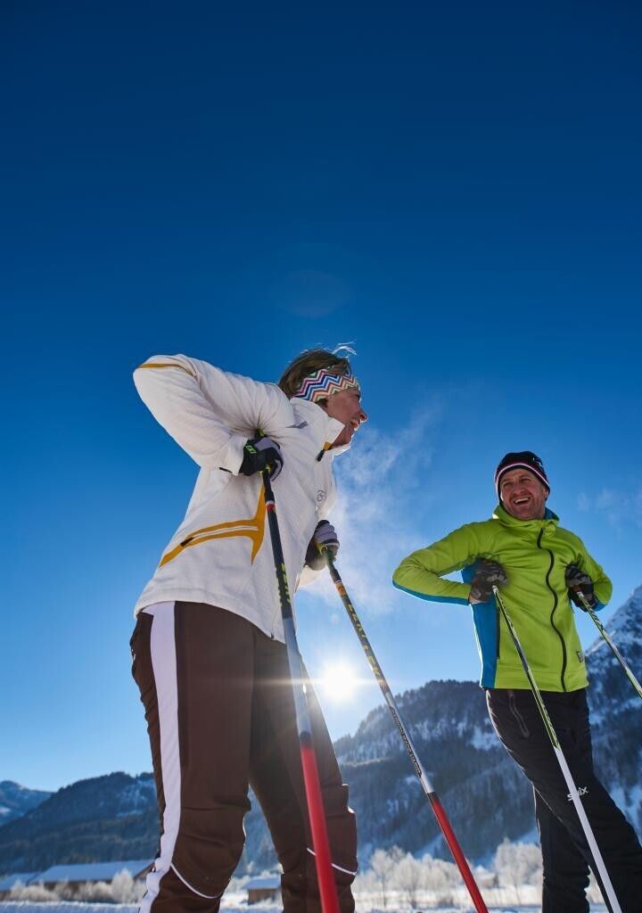
The Tannheimer Tal has optimal cross-country skiing conditions with a 140-kilometre-long cross-country trail network and a maximum difference in altitude of 50 metres. The trails are suitable for classic style as well as for skating and offer cross-country skiers of all skill levels the appropriate challenges.
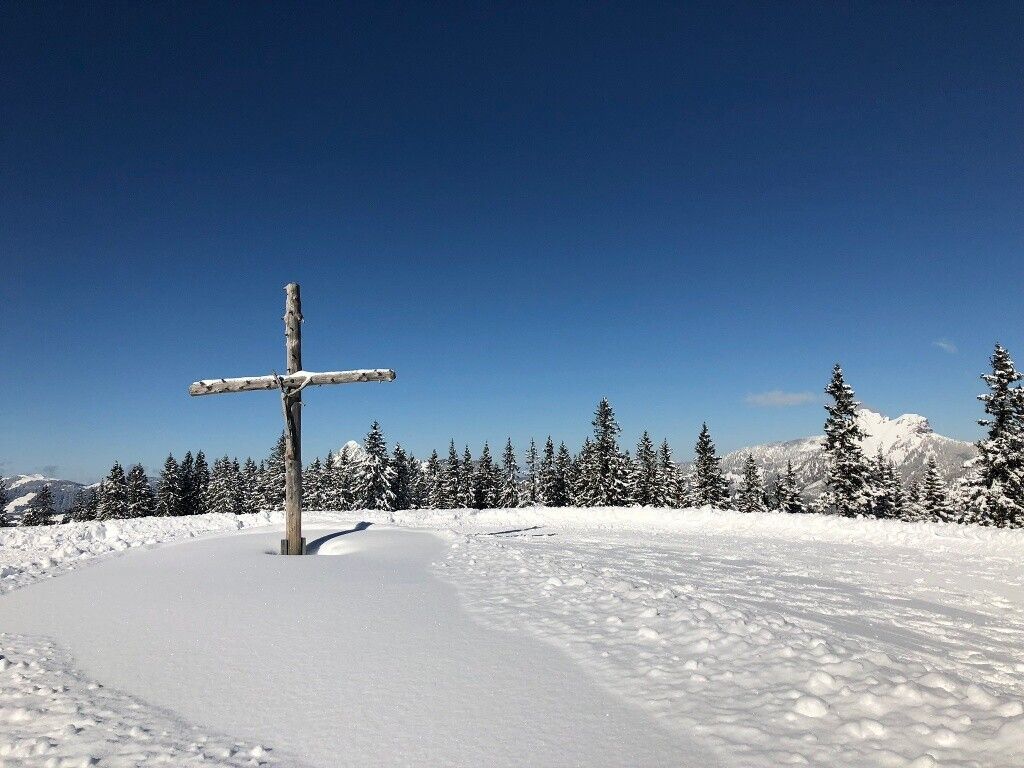
The trail begins at the top station of the Krinnenalpe double chair lift in Nesselwängle and runs in a westerly direction for a short distance parallel to the ski slope. From the valley station of the Almboden lift the cross-country ski run climbs slightly up to the turning point after about 1.5 km. You should definitely take your time to enjoy the magnificent view of Nesselwängle and the Haldensee. The Krinnenalpe not far from the mountain station is also open in winter.
Attention: The winter hiking trail also leads along this route!
Please note that the winter hiking trail also runs along the same route.
Please observe the FIS rules of conduct for cross-country skiers!
A secure control of the sports equipment even in bad snow conditions and good physical condition are basic requirements for cross-country skiing.Choosing the right speed - adapted to the skier's ability and degree of fatigue - reduces the risk of accidents and injuries enormously.
Stay on the route: All the tours described here are on groomed trails. So do not deviate from the route.
The cross-country skiing trail map of the Tannheimer Tal makes it easier for you to plan your tours, shows the distances and makes it easier to estimate the running time.
Tourism information Tannheimer Tal
Lift company Nesselwängle

.JPG")


.jpg")

.jpg")

.jpg")
.jpg")


.JPG")


.jpg")


