
Opening hours:closed
Difficulty:medium
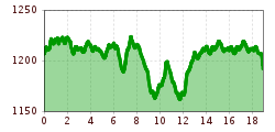
Length:40.0 kmElevation uphill:300 m:Style: Classic
At an altitude of 1,250m at Pass Thurn, all levels of difficulty, double track for classic cross-country skiing and skating trail.
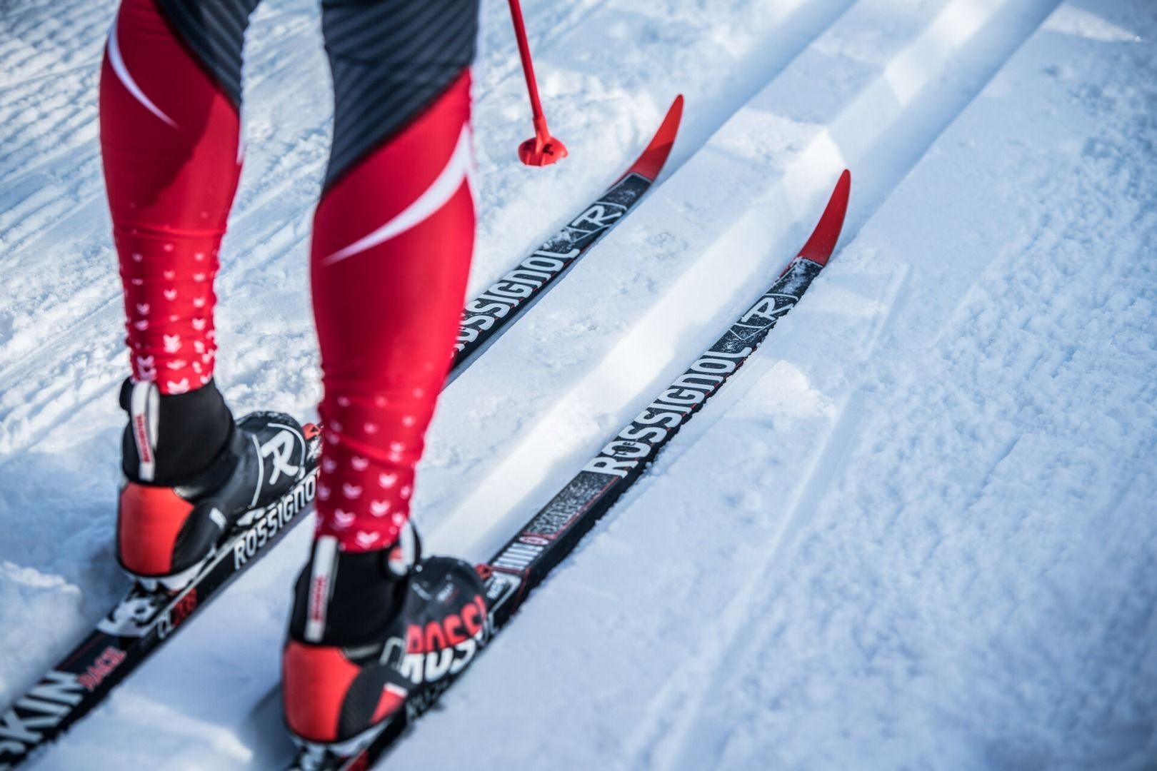
As with most winter sports, snow is essential for cross-country skiing. While we don't have Mother Nature on speed dial, we do have plenty of mountains to offer as alternatives. The Hochmoorloipe at Pass Thurn is not only recommended when snow in the valley is scarce. On the high plateau next to the Panoramabahn, it leads through the protected natural landscape. When there is sufficient snow, there are even several variants to choose from, which particularly attracts demanding cross-country skiers.
.JPG")
.JPG")


.jpg")


.jpg")

.jpg")


