
Opening hours:closed
Difficulty:medium
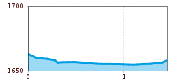
Length:8.3 kmElevation uphill:123 m:Style: Skating, Classic
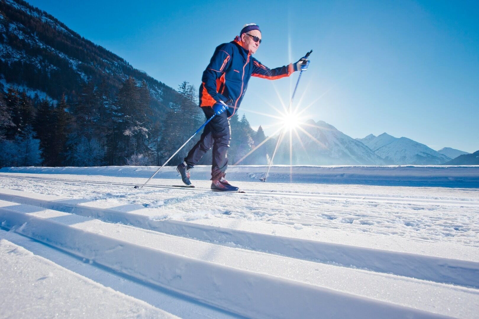
The almost flat trail around the partly frozen lake partially frozen Kalbelesee, is ideal for beginners. Here you can enjoy the sun and watch the skiers by the way.


.jpg")


.jpg")
.jpg")


 Mirja Geh (139).jpg")
