Cross-country skiing trail Silvretta-Bielerhöhe Trail (R1b):

open
Galtür
Difficulty ratings: difficult
Route length: 18.5 km
Duration: 4:00 h

Have you easily managed the first five kilometers from Galtür and still have plenty of strength in your arms and legs? Well then - off to the boss level. A real Alpine pass awaits you.

We recommend because:

  • challenging, high-altitude continuation of the Silvretta high-altitude trail R1a up to the Bielerhöhe pass, only for those in good shape
  • absolute peace and quiet in the valley due to the closure of the Silvretta High Alpine Road in winter
  • refreshments available at the Silvretta reservoir

Tour information

  • Requirement: difficult
  • Length: 18.5 km
  • Duration: 4:00 h
  • Elevation uphill:415 hm
Highest point2,043 m

Starting point

Wirl

Finishing point

Wirl

Styles

Classic

Best time of year

  • January
  • February
  • March
  • April
  • May
  • June
  • July
  • August
  • September
  • October
  • November
  • December
Source: Tourismusverband Paznaun - Ischgl

Description

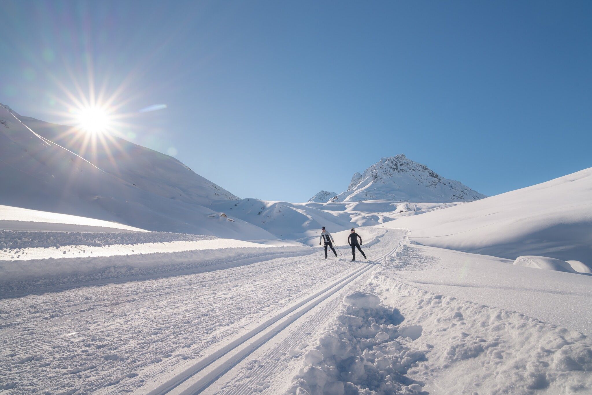
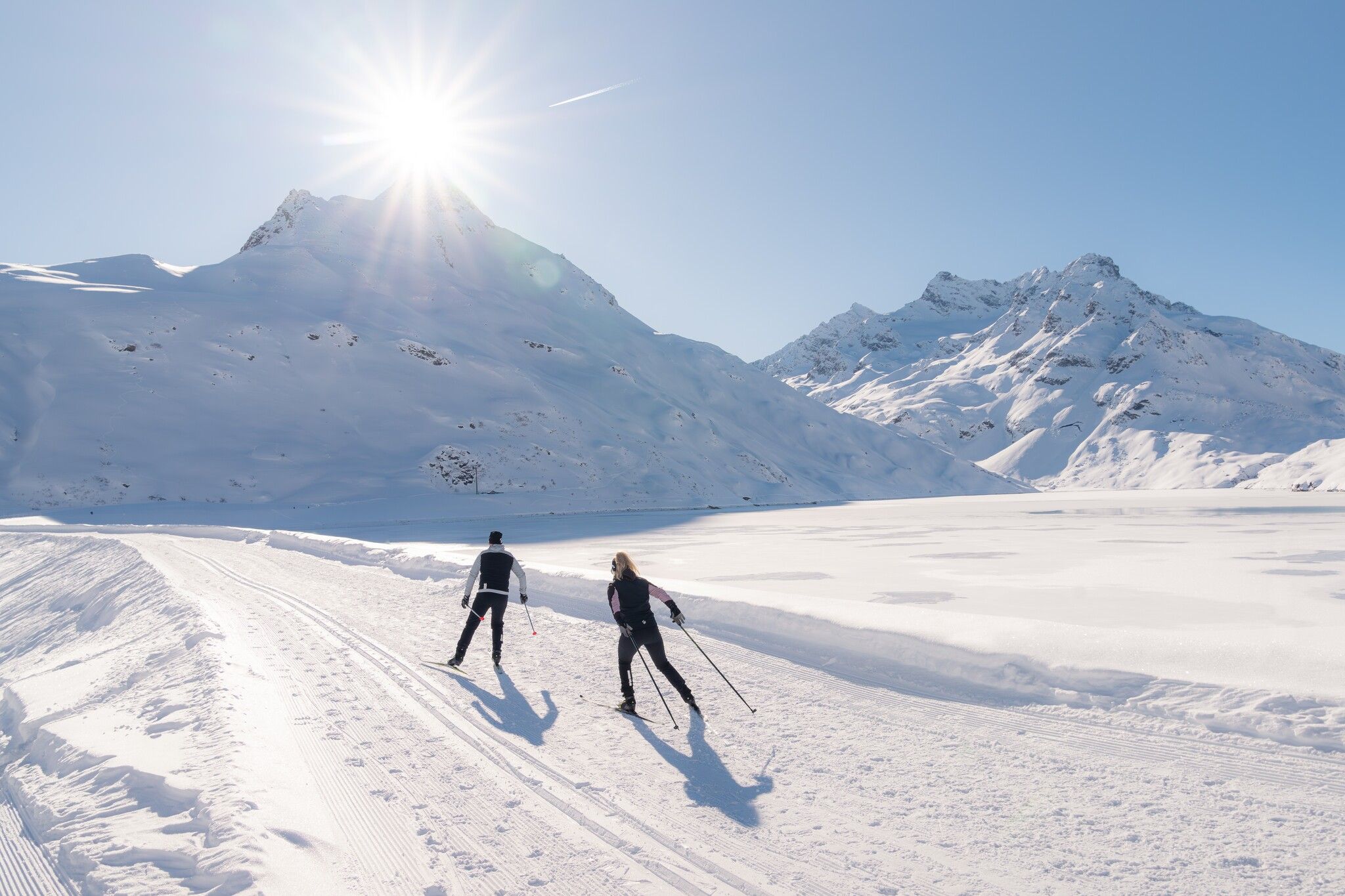
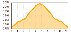
The Bielerhöhe Trail, together with the Vorderes Vermunt and Sedlsee trails, runs for 9.3 kilometres from Wirl to Bielerhöhe at 2,035 metres, the highest point of the cross-country ski trail network. It runs along the snow-covered Silvretta High Alpine Road and ends with a steep climb in serpentines to the dam. Once at the top, you can enjoy a breathtaking view of the Silvretta Reservoir and the snow-covered glacier world of the Silvretta. Downstream, the trail connects with the Sedlsee Trail, Vorderes Vermunt Trail, Zeinis-Kops Trail and Galtür-Wirl Trail, while the Dam Trail Silvretta High-Altitude Trails await on the peak.

Nearby huts and mountain restaurants

Getting here

Nearby cross-country skiing trails

Newsletter

The mountain is calling? So does our newsletter!

In our monthly newsletter we reveal the best holiday tips for Tyrol.