
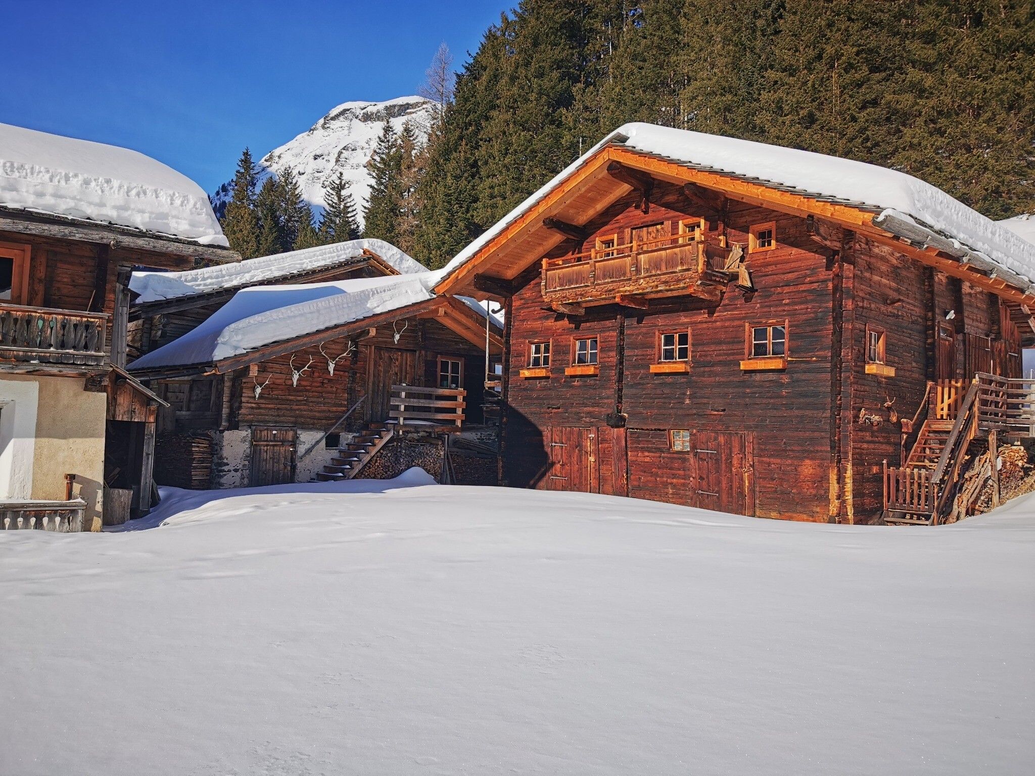
Opening hours:Open today
Place:Matrei in Osttirol
:Restaurant, Alpine pasture / hut / mountain restaurant
Slope Wohlgemuth
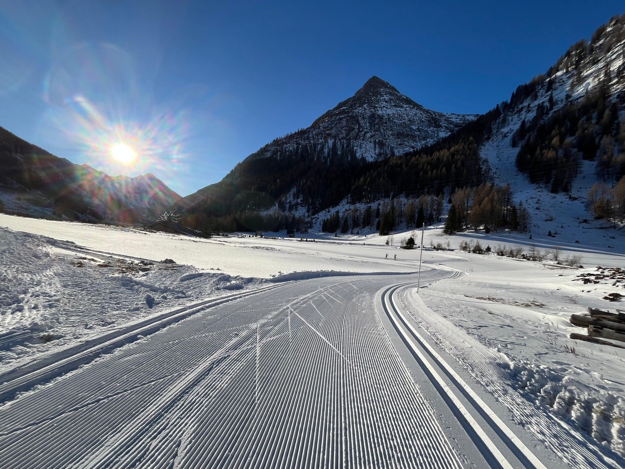
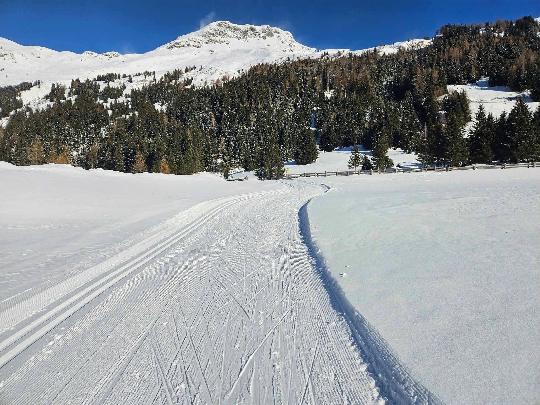
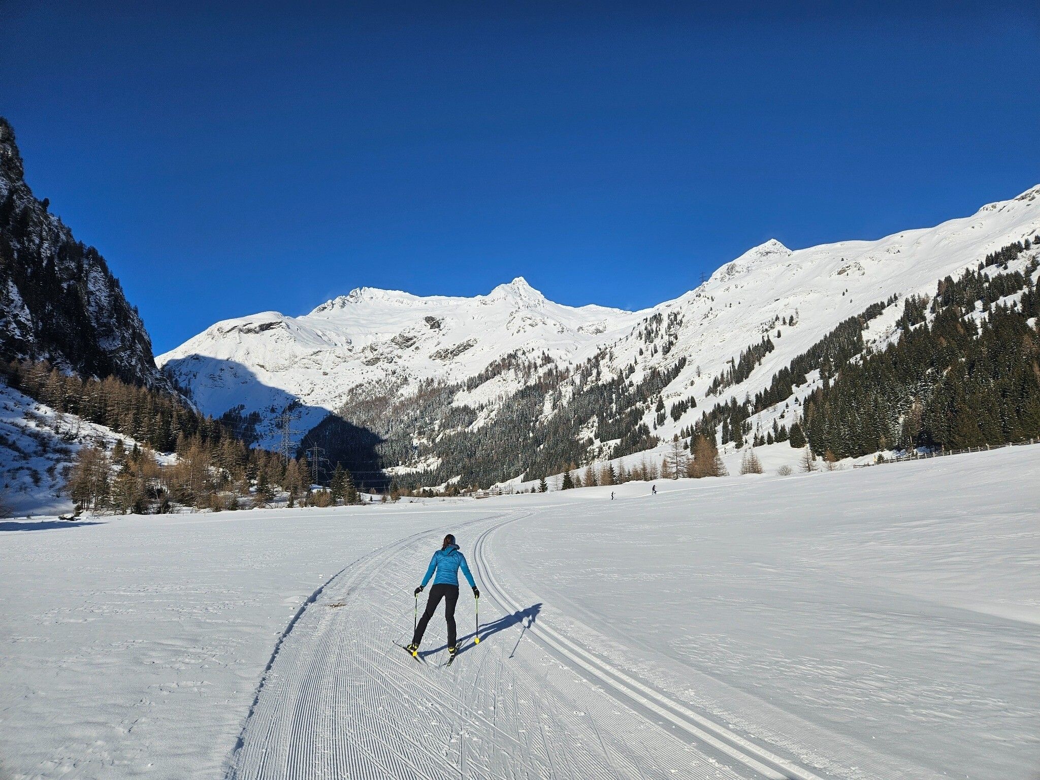
The Wohlgemuth trail runs from the Matreier Tauernhaus along the Tauernbach stream into the picturesque Gschlösstal valley and back again on the other side of the stream. It starts together with the Tauernhausrunde trail into the valley, after a good 200 meters the Wohlgemuth trail then branches off to the right, followed by a short section with oncoming traffic. After just under 200 meters, the trail leads left over a bridge and runs below the winter hiking trail, always along the stream. On the way back on the other side of the stream, there is an ascent and a descent to negotiate before you reach the Tauernhaus trail after the section with oncoming traffic and another short descent. Turn right here and follow the trail in the direction of travel to the finish at the Tauernhaus.


