

Opening hours:Open today
Place:Westendorf
:Restaurant, Tavern, Alpine pasture / hut / mountain restaurant
Highlight Tour!
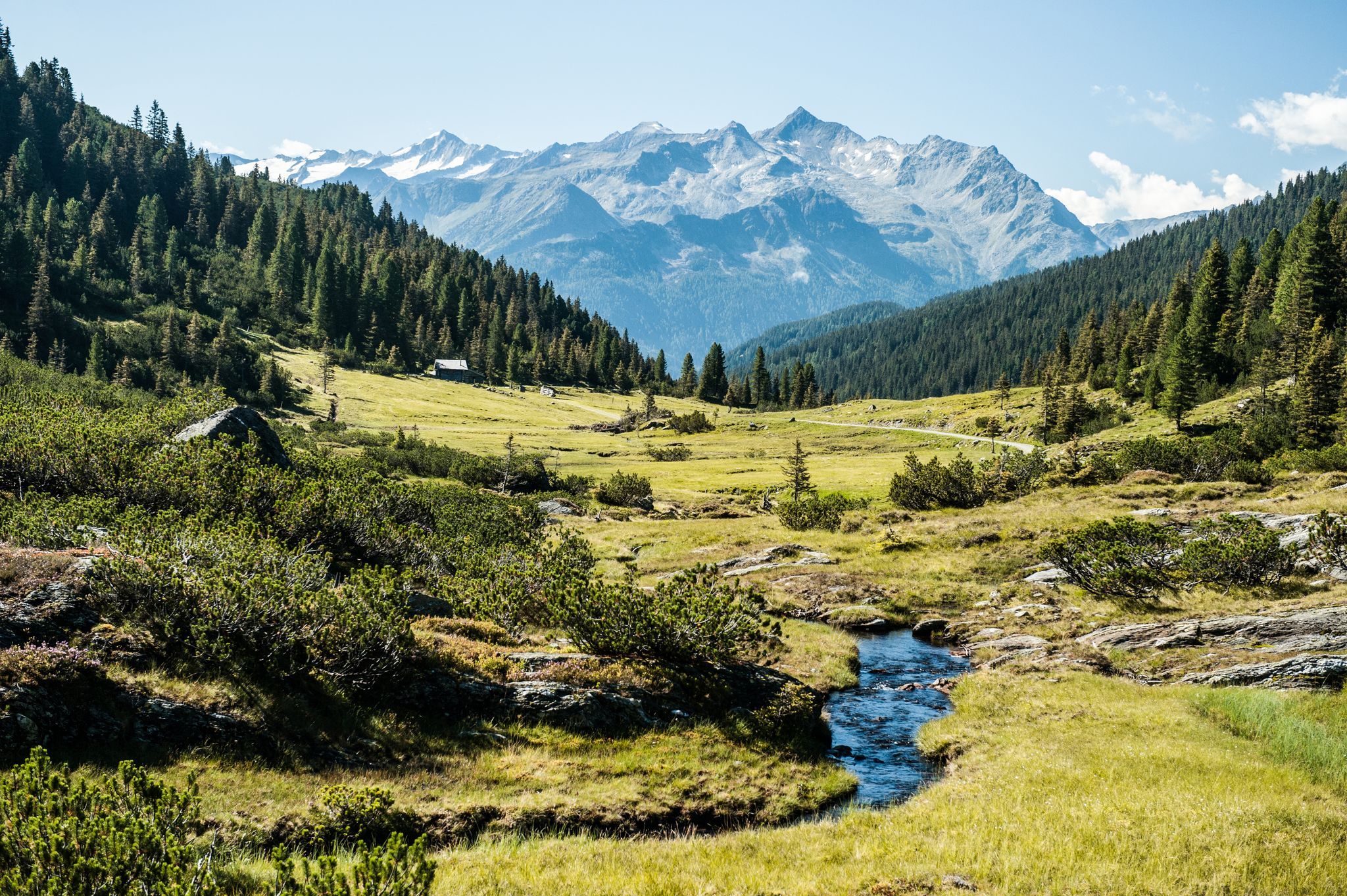
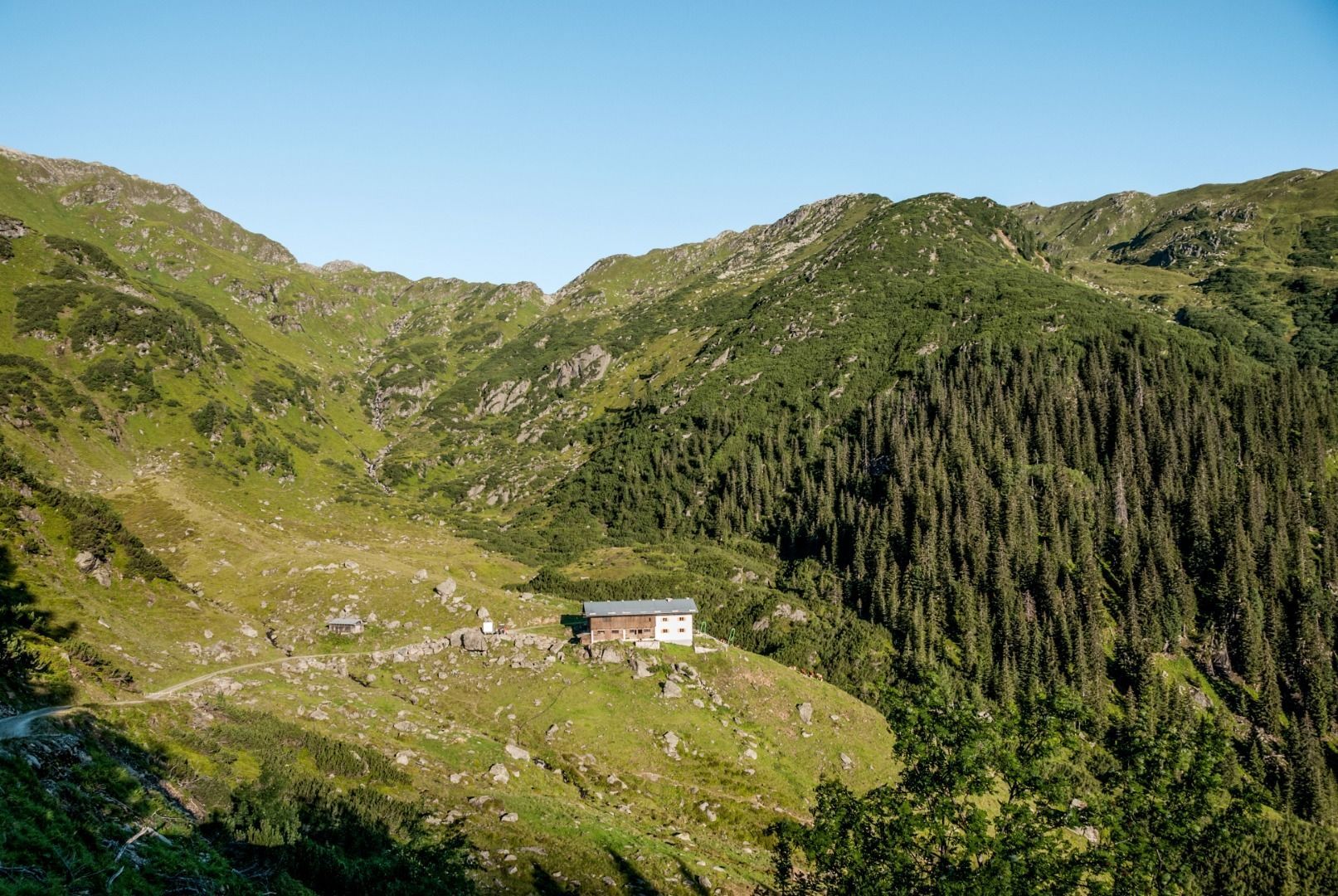
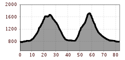
The mountain bike tour into the Pinzgau is very demanding, covering 80 km and 2200 meters of elevation gain. Starting at the tourist office in Westendorf, we ride along the Brixentaler Radweg into the Windautal. Passing the Gasthof Jägerhäusl and the Gasthaus Steinberghaus, the route continues with only a very gentle uphill gradient. Along the Windauer Ache, we then reach the Gamskogelhütte. From here, it becomes steeper for the first time. After a short downhill ride to the Krumbach parking lot, the longer ascent to the Filzenscharte begins. Passing the Foischingalm and wonderful alpine pastures, we finally reach the Schreier Bründl. Depending on your needs and mood, you can strengthen yourself with a traditional snack at the Rotwand Grundalm after a few meters downhill. Otherwise, a pushing section of about 500m begins at the Schreier Bründl. Via the Filzenscharte, we enter the federal state of Salzburg, more precisely the Pinzgau. From here, you can already see part of the Hohe Tauern and their glaciers. During the descent, the Gasthaus Rechtegg comes just at the right time to recharge while enjoying a magnificent view. Arriving in Neukirchen, the Hohe Tauern Radweg leads us via Bramberg, slightly uphill and downhill, to the start of the ascent to the Stangenjoch. Well-signposted, the route goes uphill on an initially steep asphalt path. Soon, however, a gravel path leads us to the Stangenalm and the Stangenjoch. Before this ascent, you should definitely have enough water reserves with you, as the sun can sometimes be merciless in clear weather. Fortunately, along the way, you occasionally come across fountains with refreshing mountain water. For the efforts, we are ultimately rewarded with a magnificent view of the Großer Rettenstein and the surrounding mountains. Initially briefly on a pushing section and a poor alpine meadow path, we then reach Aschau through the upper Grund passing the Klooalm, and continue on a good cycle path to Kirchberg. On the flat Brixentaler Radweg, we roll back to Westendorf, where the circle finally closes.
Sennerei Westendorf bus stop
Westendorf railway station
Mobility in the Brixental valley: https://www.kitzbueheler-alpen.com/de/bri/mobil.html
Via the B170 coming from Wörgl or Kitzbühel to Westendorf.
Alpenrosenbahn Westendorf


