Mountainbike-Tour 208 | Filzenscharte - Rotwandalm

Westendorf / Kitzbühel Alps
Difficulty ratings: medium
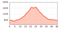
Route length: 45.6 km
Duration: 4:30 h

Into the furthest reaches of the Windautal!
Tour information

  • Requirement: medium
  • Length: 45.6 km
  • Duration: 4:30 h
  • Elevation uphill:1,151 hm
  • Elevation downhill:1,168 hm
Highest point1,683 m

Starting point

Infobüro Westendorf

Finishing point

Infobüro Westendorf
  • Fitness level 4 / 6
  • Technique 2 / 6

Features

  • Circular route

Best time of year

  • January
  • February
  • March
  • April
  • May
  • June
  • July
  • August
  • September
  • October
  • November
  • December

Trail condition

Gravel path, asphalt road

Equipment

Mountain bike, helmet, weather protection, provisions, first aid kit
Source: Kitzbüheler Alpen Management GmbH

Description

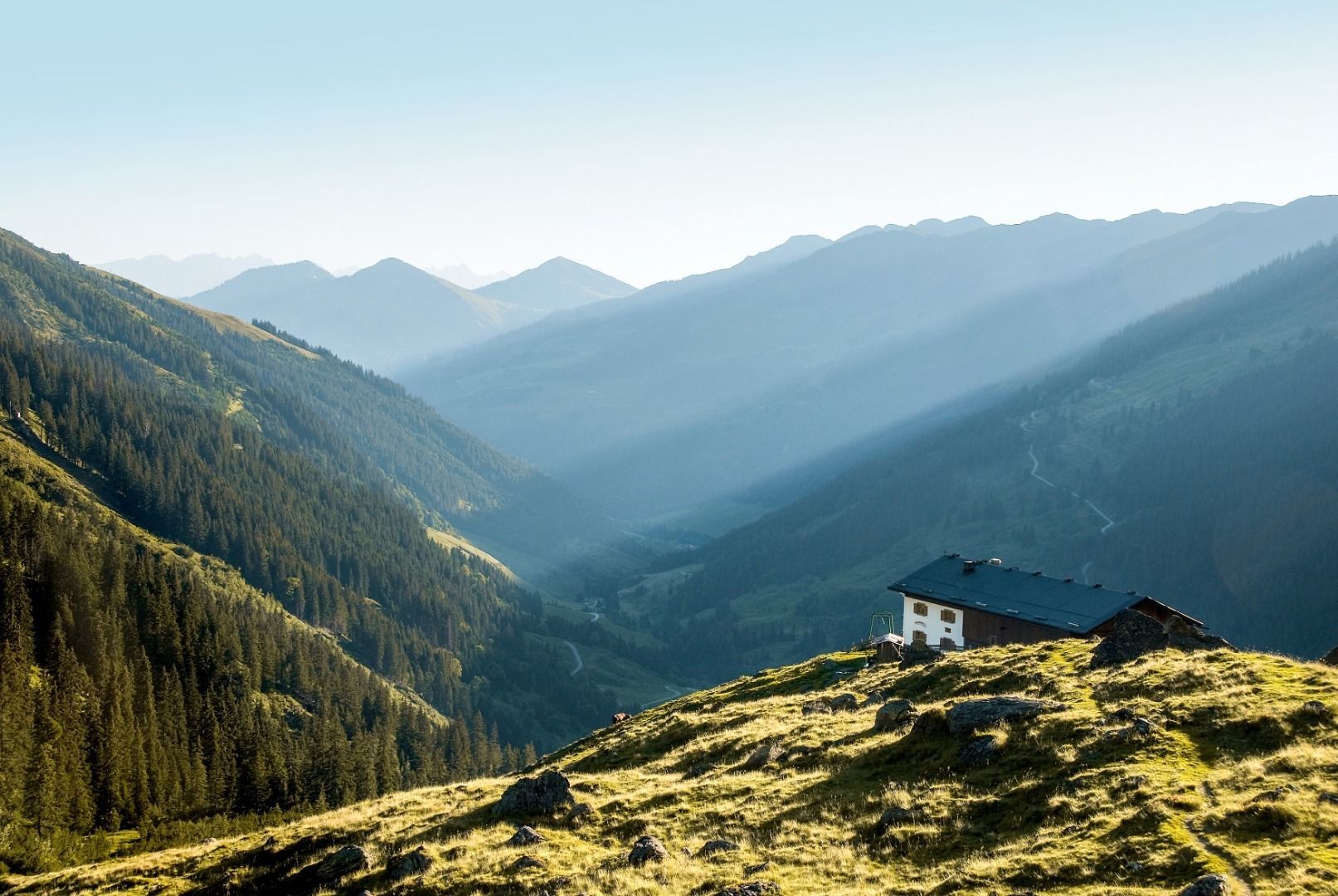
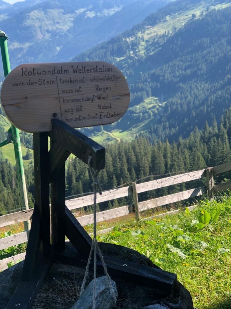
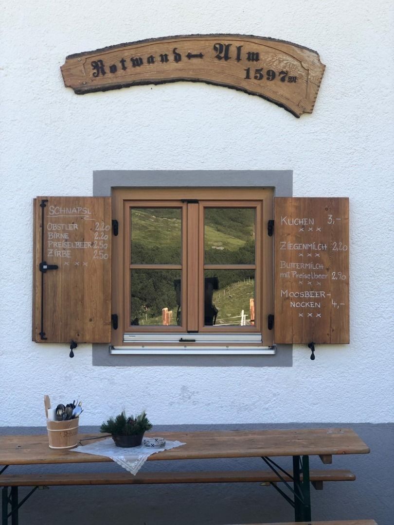
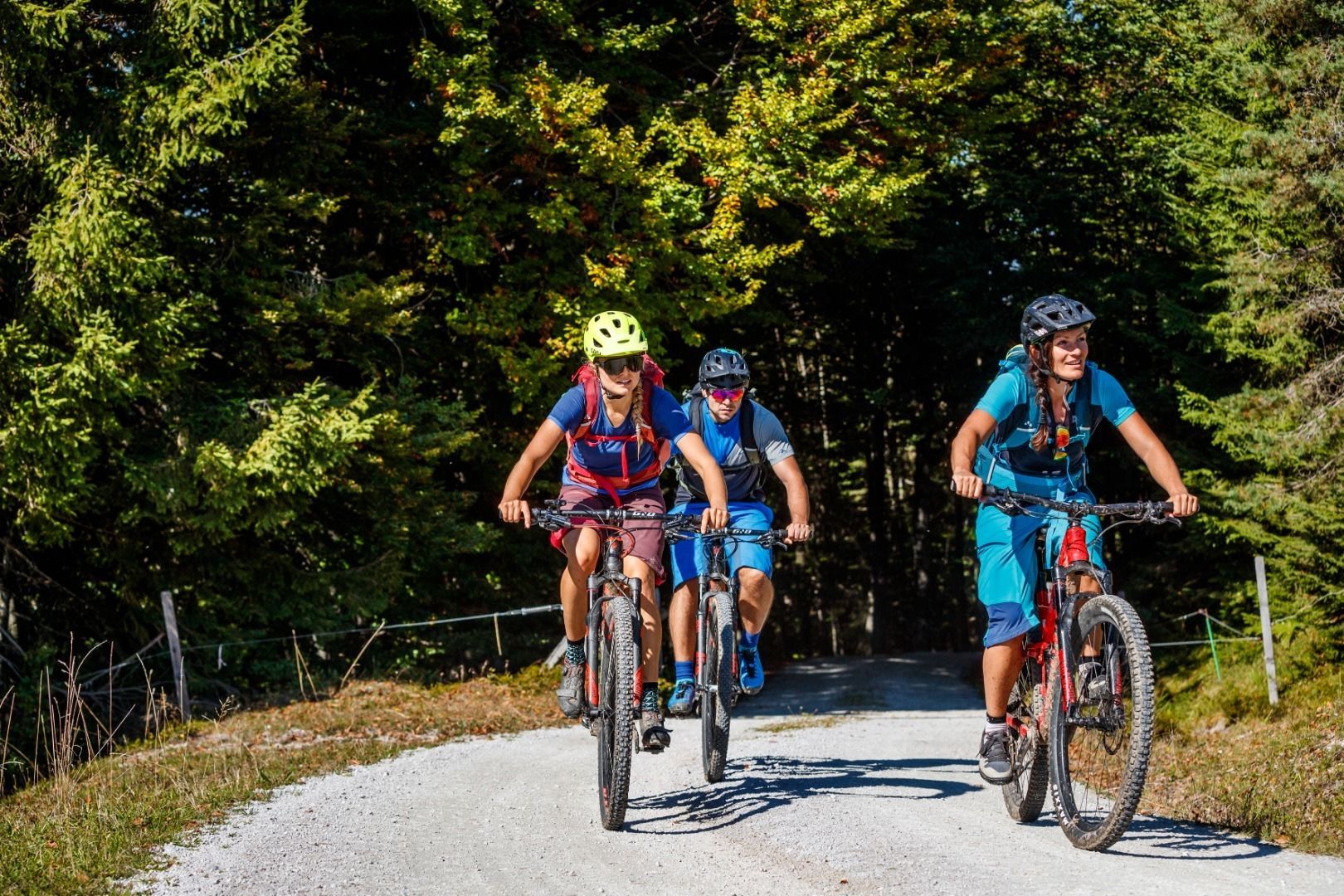
Starting from the Westendorf information office, we begin this selective tour to the Rotwand Grundalm (MTB No. 208). We stay on the Brixentaler Radweg No. 21 until the Waldhofkapelle, which we pass on the right, and after a short descent, we reach the Gasthof Lendwirt. From here, the route continues along the Windauer Ache, always slightly uphill, until we reach the Gasthaus Steinberg. On a good gravel path, we soon reach the Gamskogelhütte. Shortly after, two short climbs follow to the Baumgartenalm before reaching the Krumbach parking lot. From here, we continue on the forest road, passing the Foischingalm, steadily uphill. Surrounded by alpine meadows, where you can spot many a cow and, with a bit of luck, a deer, we finally reach the Schreier Bründl, which is ideal for refilling water bottles. From here, one could reach Neukirchen in the province of Salzburg via the Filzenscharte, a section where you must push your bike. However, we ride the last few meters downhill to the Rotwand Grundalm, where we can fortify ourselves for the descent with a traditional snack. We then return along the familiar route to the Jagerhäusl, from where we turn right onto the paved provincial road to return to the information office.

Nearby huts and mountain restaurants

Getting here

More tours in the surrounding area

  • OD Trails

    Opening hours:open
    Difficulty:medium
  • Kalkstein Loop

    Difficulty:medium
    Length:41.7 kmDuration:3:30 hElevation uphill:341 m
  • Brixental cycling tour Nr. 21

    Difficulty:easy
    Length:46.7 kmDuration:3:30 hElevation uphill:450 m
  • Angereralm - Harschbichl

    Opening hours:closed
    Difficulty:medium
    Length:18.2 kmDuration:2:00 hElevation uphill:942 m
  • Salvenaradrunde

    Difficulty:medium
    Length:62.7 kmDuration:3:30 hElevation uphill:648 m
  • Wilder Kaiser cycle route no. 14

    Difficulty:medium
    Length:38.3 kmElevation uphill:520 m
  • Fleckalm Trail

    Difficulty:difficult
    Length:7.1 kmDuration:0:45 h
  • 1. Etappe KAT Bike Sport+

    Difficulty:difficult
    Length:25.0 kmDuration:3:30 hElevation uphill:1,108 m
  • 2031 | Sonnenrast Trail

    Opening hours:closed
    Difficulty:easy
    Length:1.7 kmElevation uphill:5 m
  • KAT BIKE SPORT+

    Difficulty:difficult
    Length:146.0 kmDuration:3 daysElevation uphill:5,686 m
Newsletter

The mountain is calling? So does our newsletter!

In our monthly newsletter we reveal the best holiday tips for Tyrol.