Mountainbike-Tour 218 | Bike Tour - Saukasergraben - Pengelstein

Kirchberg in Tirol / Kitzbühel Alps
Difficulty ratings: difficult
Route length: 38.0 km
Duration: 4:30 h

1100 vertical meters in one go!

Tour information

  • Requirement: difficult
  • Length: 38.0 km
  • Duration: 4:30 h
  • Elevation uphill:1,186 hm
  • Elevation downhill:1,189 hm
Highest point1,928 m

Starting point

Kirchberg village centre

Finishing point

Kirchberg village centre
  • Fitness level 5 / 6
  • Technique 3 / 6

Features

  • Circular route

Best time of year

  • January
  • February
  • March
  • April
  • May
  • June
  • July
  • August
  • September
  • October
  • November
  • December

Trail condition

Asphalt & gravel paths

Equipment

Mountain bike, helmet, weather protection, provisions, first aid kit
Source: Kitzbüheler Alpen Management GmbH

Description

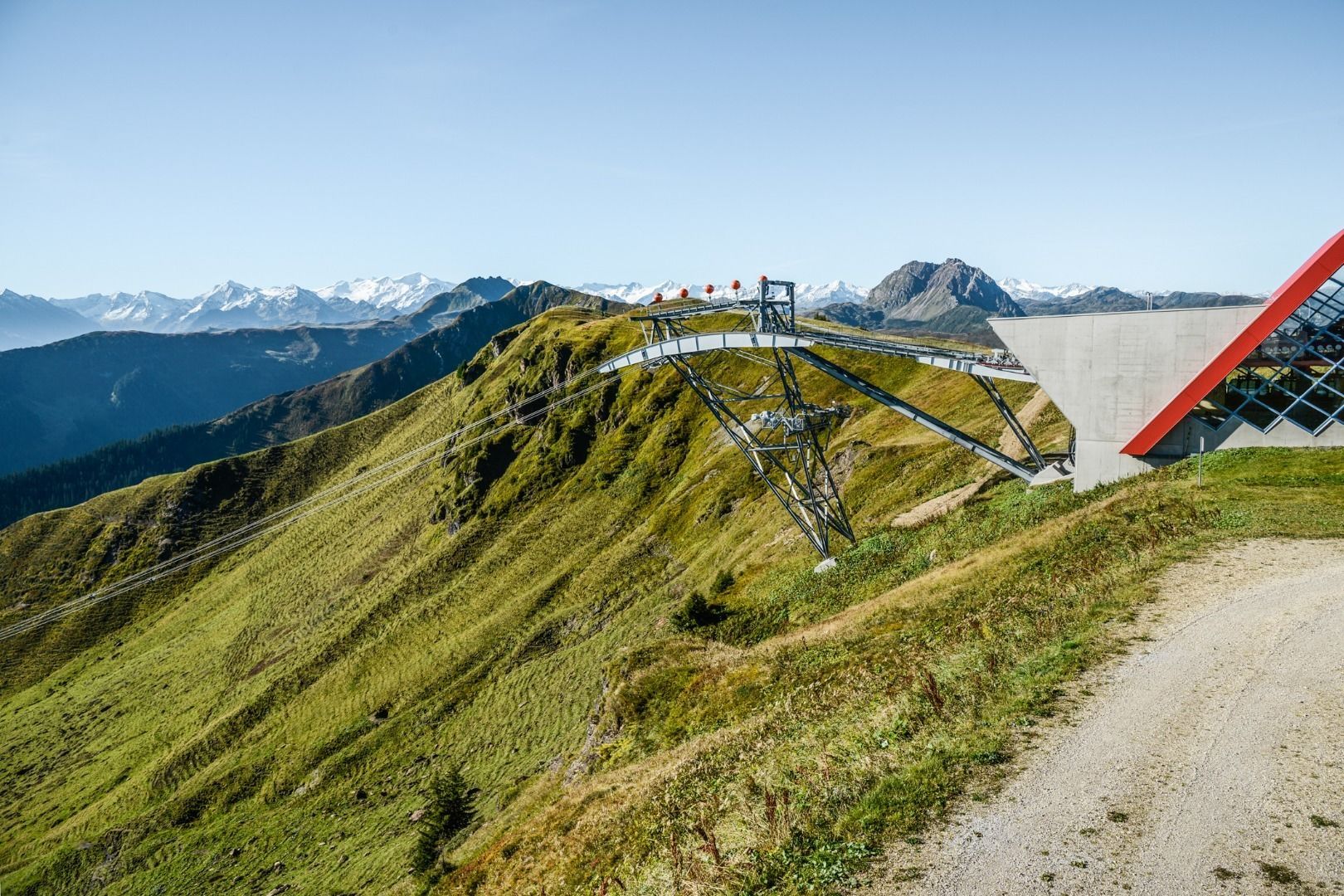
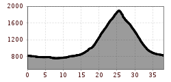
This tour to Jochberg and up the Pengelstein requires a good level of fitness, as the 1166 metres of elevation gain are somewhat steep in parts. Starting from the tourist office in Brixen im Thale, however, the Brixentaler Radweg leads us comfortably to Kitzbühel. From Kitzbühel, the route continues flat on the Leukental Radweg to Aurach and Jochberg. From here, the gravel path begins into the Saukaserbachgraben. Initially still shady and only slightly uphill, the path later winds its way uphill under the sun, sometimes steeper, sometimes less so. Passing the Kasereggalm, we briefly have the 3S-Bahn in view. However, a few more bends pass before we reach it, bringing us up to 1927 m above sea level. At the Restaurant Pengelstein, an initially very bumpy descent begins, which steadily improves. Passing the Usterkaralm and the Hiesleggalm, we eventually even have asphalt under our wheels. On the Aschauer Radweg we reach Kirchberg, and on the Brixentaler Radweg we ride back to Brixen.

Nearby huts and mountain restaurants

Getting here

  • Parking

    Via the B170 coming from Wörgl or Kitzbühel to Kirchberg in Tirol.
    Parking garage Pöllmühle

More tours in the surrounding area

  • OD Trails

    Opening hours:open
    Difficulty:medium
  • 1. Etappe KAT Bike Sport+

    Difficulty:medium
    Length:25.0 kmDuration:3:30 hElevation uphill:1,108 m
  • Wilder Kaiser cycle route no. 14

    Difficulty:medium
    Length:38.3 kmElevation uphill:520 m
  • Fleckalm Trail

    Opening hours:open
    Difficulty:difficult
    Length:7.1 kmDuration:0:45 h
  • KAT BIKE SPORT+

    Difficulty:difficult
    Length:146.0 kmDuration:3 daysElevation uphill:5,686 m
  • Kalkstein Loop

    Difficulty:medium
    Length:41.7 kmDuration:3:30 hElevation uphill:341 m
  • Angereralm - Harschbichl

    Opening hours:closed
    Difficulty:medium
    Length:18.2 kmDuration:2:00 hElevation uphill:942 m
  • Salvenaradrunde

    Difficulty:medium
    Length:62.7 kmDuration:3:30 hElevation uphill:648 m
  • Brixental cycling tour Nr. 21

    Difficulty:easy
    Length:46.7 kmDuration:3:30 hElevation uphill:450 m
Newsletter

The mountain is calling? So does our newsletter!

In our monthly newsletter we reveal the best holiday tips for Tyrol.