Mountainbike-Tour 298 | Speicherteich kleine Salve

Westendorf / Kitzbühel Alps
Difficulty ratings: medium
Route length: 10.0 km
Duration: 1:45 h

Out and about on the Salvenberg!

Tour information

  • Requirement: medium
  • Length: 10.0 km
  • Duration: 1:45 h
  • Elevation uphill:840 hm
  • Elevation downhill:100 hm
Highest point1,596 m

Starting point

Infobüro Westendorf

Finishing point

Gasthof Rigi
  • Fitness level 4 / 6
  • Technique 2 / 6

Best time of year

  • January
  • February
  • March
  • April
  • May
  • June
  • July
  • August
  • September
  • October
  • November
  • December

Trail condition

Asphalt, gravel

Equipment

Mountain bike, helmet, weather protection, provisions, first aid kit
Source: Kitzbüheler Alpen Management GmbH

Description

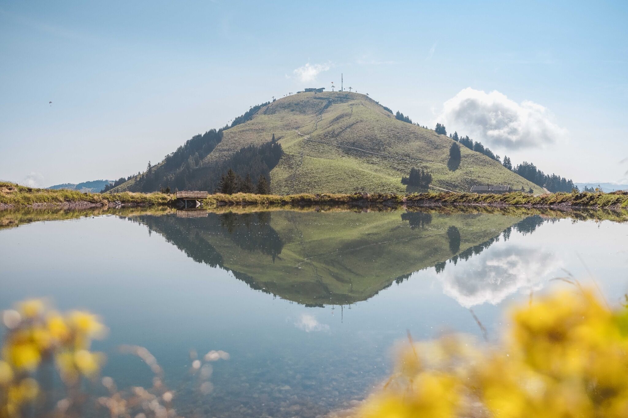
Route 297 leads from Westendorf via Bahnhofstraße into the district of "Moosen". From here, the road winds steadily up the Salvenberg. Passing the Alpenschule, after a sharp left turn, we reach a barrier for cars (altitude approx. 1,150m). We bypass this and after a short time the asphalt road turns into a gravel alpine path. After several serpentines, we reach a beautifully embedded reservoir. A short stop with a small walk around the lake is definitely worth it, if only for the beautiful view. Now we continue uphill towards Kälbersalvenalm. Just below the alpine buildings, we keep straight or left on the road and thus pass below the Salvensee and bypass the alpine pasture. After a fairly steep, short climb, we reach our highest point, below the Foisching Bahn mountain station. Now we turn left, always along a beautiful alpine path to Gasthaus Rigi. A cozy, well-deserved stop for refreshments is perfect here. Connection possibilities to Tour 268 and 269.
Please note: You are cycling permanently on the south slope - therefore often very sunny and hot!

Nearby huts and mountain restaurants

  • Alpengasthof Rigi

    Place:Hopfgarten im Brixental
    :Restaurant, Tavern, Alpine pasture / hut / mountain restaurant, Bar / Pub

Getting here

More tours in the surrounding area

  • OD Trails

    Opening hours:open
    Difficulty:medium
  • Wilder Kaiser cycle route no. 14

    Difficulty:medium
    Length:38.3 kmElevation uphill:520 m
  • 1. Etappe KAT Bike Sport+

    Difficulty:medium
    Length:25.0 kmDuration:3:30 hElevation uphill:1,108 m
  • Brixental cycling tour Nr. 21

    Difficulty:easy
    Length:46.7 kmDuration:3:30 hElevation uphill:450 m
  • Angereralm - Harschbichl

    Opening hours:closed
    Difficulty:medium
    Length:18.2 kmDuration:2:00 hElevation uphill:942 m
  • Salvenaradrunde

    Difficulty:medium
    Length:62.7 kmDuration:3:30 hElevation uphill:648 m
  • 2031 | Sonnenrast Trail

    Opening hours:open
    Difficulty:easy
    Length:1.7 kmElevation uphill:5 m
  • KAT BIKE SPORT+

    Difficulty:difficult
    Length:146.0 kmDuration:3 daysElevation uphill:5,686 m
  • Kalkstein Loop

    Difficulty:medium
    Length:41.7 kmDuration:3:30 hElevation uphill:341 m
  • Fleckalm Trail

    Opening hours:open
    Difficulty:difficult
    Length:7.1 kmDuration:0:45 h
Newsletter

The mountain is calling? So does our newsletter!

In our monthly newsletter we reveal the best holiday tips for Tyrol.