
Opening hours:Open today
Place:Umhausen
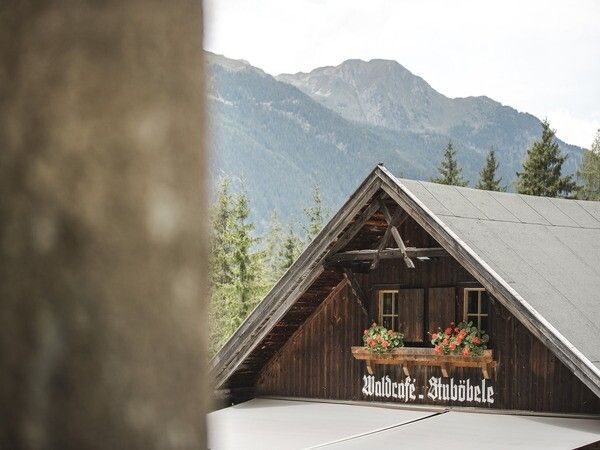
:Alpine pasture / hut / mountain restaurant
ÖTZTAL STATION -> Oetz cycle path -> Umhausen cycle path -> Stuibenfall viewpoint -> Seejöchl -> ÖTZTAL STATION Beautiful scenic route with stunning natural highlights in the Ötztal.
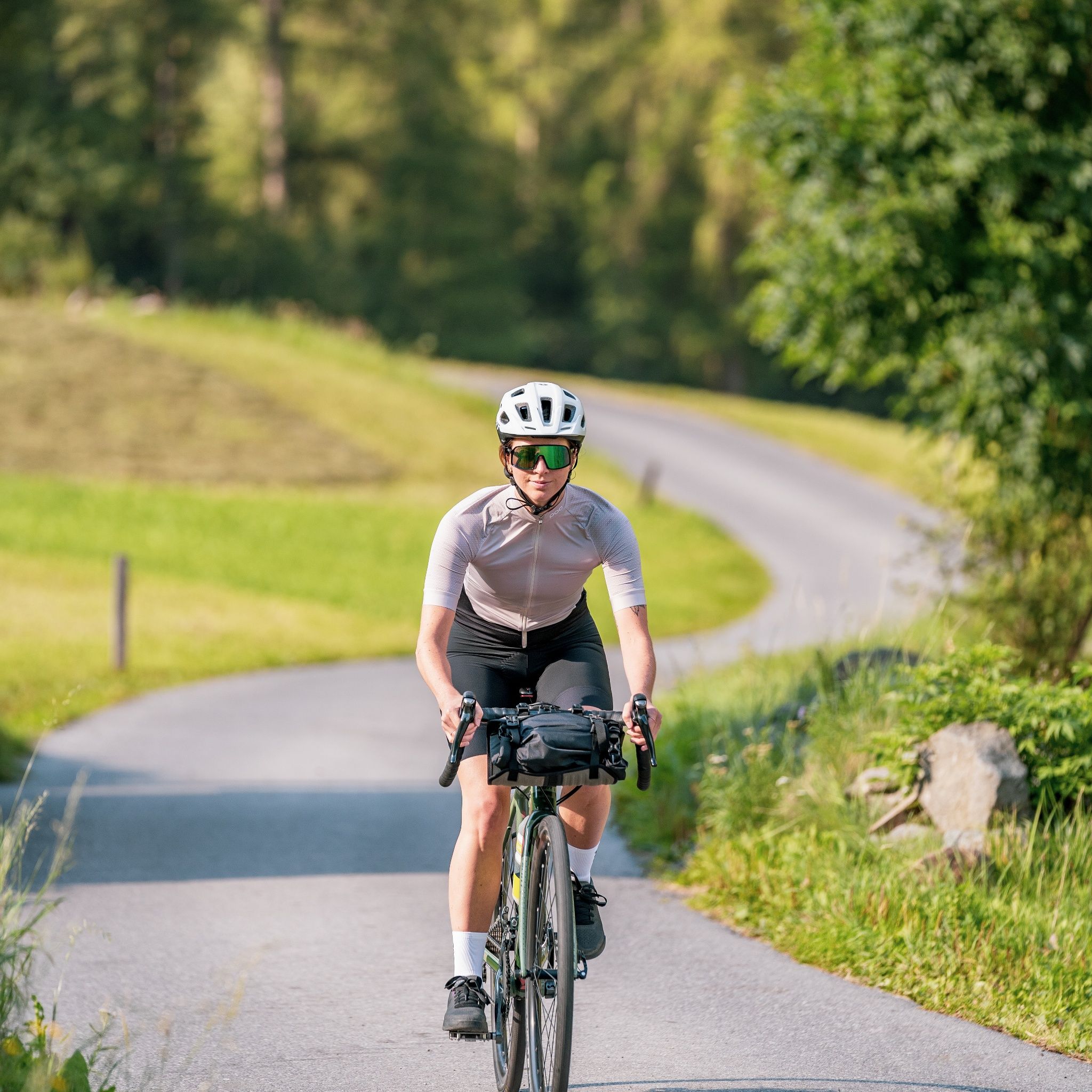
Athletic bike handling skills and defensive riding behavior are required due to some steep climbs and more difficult downhill sections, and the demands on fitness and riding technique are rated as medium.
Appropriate equipment such as breathable clothing and outdoor clothing adapted to the weather, bicycle helmet, gloves, sunglasses, and a GPS device or maps. For bike rides without any opportunities to stop for refreshments, sufficient provisions are necessary.
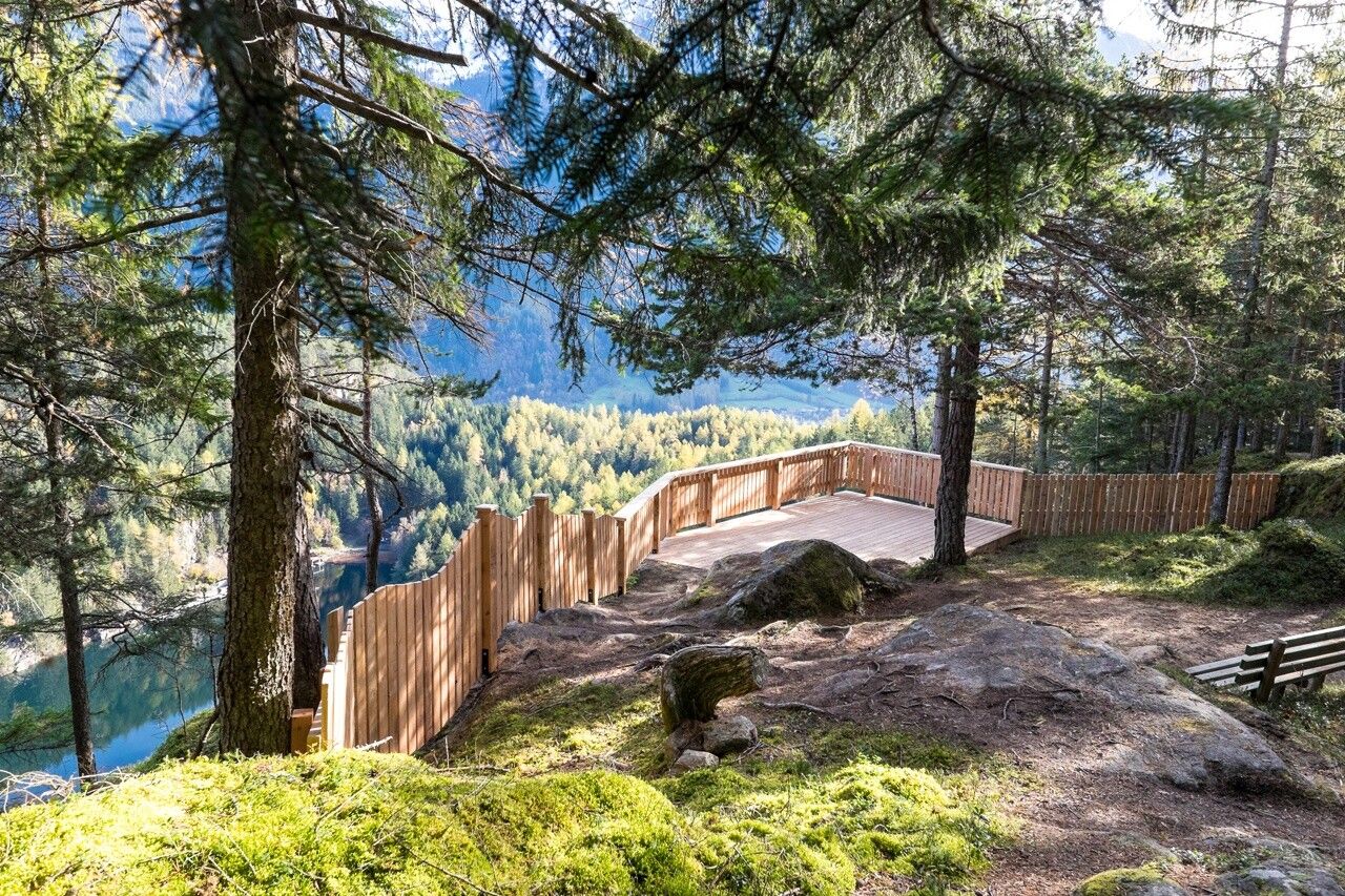
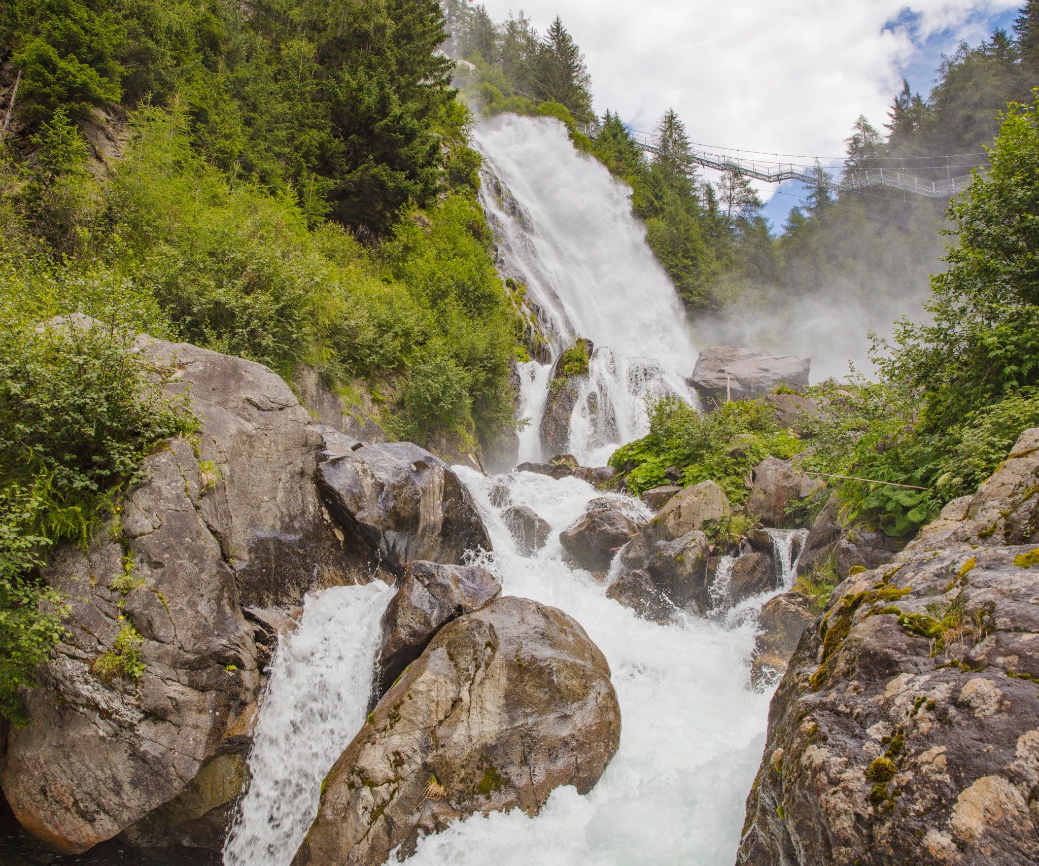
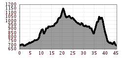
Tour description: The start and end point of the circular route is the Ötztal station. From here, it goes leisurely on the cycle path slightly uphill towards Oetz. Then you cycle further into the valley on the well-developed path to Umhausen. In the village center (Mure parking lot), head towards the church, turn left before the bridge into Sandgasse, and follow the Horlachbach to a junction. There, take the middle street and stay on Sandgasse. At the end of the village, turn left and ride on a path that shortly becomes a gravel road up to Stuböbele. At the bridge, leave your bike and hike the last few meters on foot to the impressive Stuibenfall.
Return route: Initially, go back to Umhausen. At the third junction, turn left into Mühlweg and follow it to the state road L238. Turn left here and ride to the federal road B186. Turn left again and follow the B186 to the Kofels junction. There, drive right over the bridge and immediately turn right again onto the cycle path. This leads through an idyllic forest section to just before Umhausen. Take the street to the left here (do not follow the cycle path!) and turn right at the village edge. Pass the football pitch, cross the street, follow the ascent, and reach the cycle path again. Follow it downstream to Östen and turn right towards Engelswand. After the fountain at the junction, turn left towards Ache, then at the next fountain turn right again onto the cycle path and continue rolling to Habichen. There, turn left on the familiar path back and at Kohlstatt take the left junction onto the winding forest road to Seejöchl. Here is a good place for a short stop at the Seejöchlblick viewpoint with a magnificent view of Piburger See. Then you continue to Piburg, follow the road via Haderlehn to Sautens, and cross the village straight ahead to Mühlgasse. Turn left before the swimming pool, switch back to the cycle path at the recycling yard, and follow it to Brunau. Continuing along the cycle path, you reach a junction where you turn right onto the federal road. At the next two roundabouts, take the second exit each time and return on Ambergerstraße to the Ötztal station.
Travel comfortably and safely by train.

")


")

