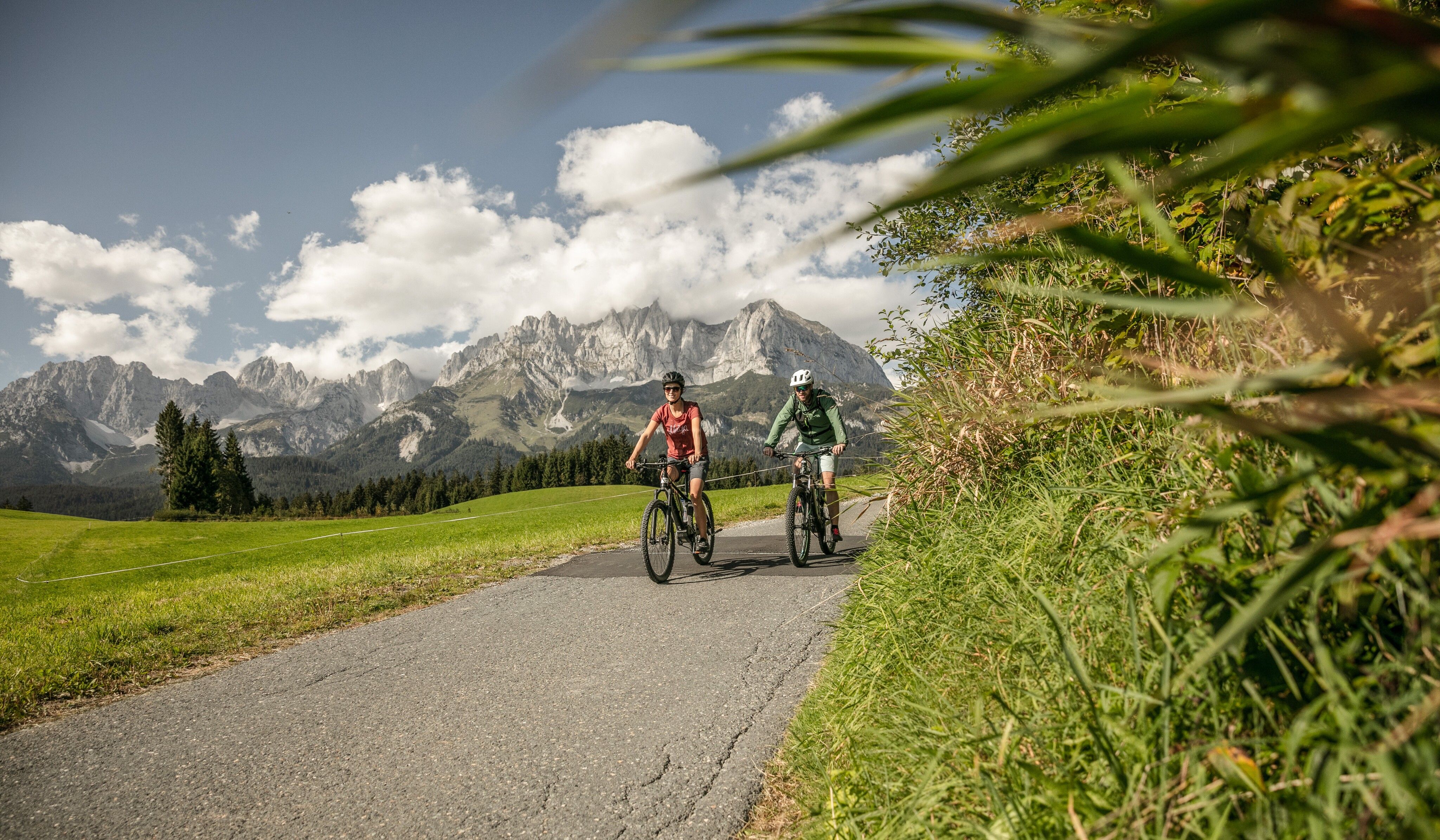
Mountainbike-Tour Hinterkaiserrunde - Bike Trail Nr. 217

Kirchdorf in Tirol / Kaiser Mountains
Difficulty ratings: medium
Route length: 9.5 km
Duration: 1:30 h

Easy Tour on the Hinterkaiserwegl

Tour information

  • Requirement: medium
  • Length: 9.5 km
  • Duration: 1:30 h
  • Elevation uphill:151 hm
  • Elevation downhill:148 hm
Highest point819 m

Starting point

St. Johann in Tirol - Dampflfeld

Finishing point

St. Johann in Tirol - Dampflfeld
  • Fitness level 1 / 6
  • Technique 1 / 6

Features

  • Circular route

Best time of year

  • January
  • February
  • March
  • April
  • May
  • June
  • July
  • August
  • September
  • October
  • November
  • December

Trail condition

Asphalt, gravel

Equipment

- outdoor clothing
-helmet
- sturdy shoes
- Sufficient food and drinks
- First aid kit
- Mobile phone with full battery & charger
- Hiking map & guide literature
- GPS device or download the GPS data to your mobile phone if necessary
- Sun protection (sunglasses, sun cream, cap)
- Rain protection
- Cash
-opt. Multitool & repair kit, bike pump
Source: Kitzbüheler Alpen Management GmbH

Description

This tour starts at the roundabout at the Dampflfeld parking lot in St. Johann in Tirol. Follow the signs towards Hinterkaiser. Take Hinterkaiserweg and ride past Café Hinterkaiser and Gasthof Rummlerhof to the Maurern farmstead. Follow the gravel road through meadows and a forest, and cross Rettenbach River. Continue along the asphalt road along Rettenbach River to Rettenbachstüberl until you reach Innsbruckerstraße. Follow the cycle way back to the Dampflfeld parking lot.

Nearby huts and mountain restaurants

Getting here

  • Arrival by public transport

    Guest card = train ticket from guest to traveller in no time

    Online timetables for public transport:
    www.vvt.at
    www.oebb.at

  • Parking

    Parking gondola station St. Johann in Tirol,
    In the center of St. Johann i. T. (for ex.: Steinlechnerpakrplatz, Nothegger Parkplatz, Koasa Stadion Parkplatz, ...

More tours in the surrounding area

  • Angereralm - Harschbichl

    Opening hours:closed
    Difficulty:medium
    Length:18.2 kmDuration:2:00 hElevation uphill:942 m
  • Salvenaradrunde

    Difficulty:medium
    Length:62.7 kmDuration:3:30 hElevation uphill:648 m
  • Brixental cycling tour Nr. 21

    Difficulty:easy
    Length:46.7 kmDuration:3:30 hElevation uphill:450 m
  • OD Trails

    Opening hours:open
    Difficulty:medium
  • 1. Etappe KAT Bike Sport+

    Difficulty:medium
    Length:25.0 kmDuration:3:30 hElevation uphill:1,108 m
  • Wilder Kaiser cycle route no. 14

    Difficulty:medium
    Length:38.3 kmElevation uphill:520 m
  • Fleckalm Trail

    Opening hours:open
    Difficulty:difficult
    Length:7.1 kmDuration:0:45 h
  • KAT BIKE SPORT+

    Difficulty:difficult
    Length:146.0 kmElevation uphill:5,686 m
  • Kalkstein Loop

    Difficulty:medium
    Length:41.7 kmDuration:3:30 hElevation uphill:341 m
Newsletter

The mountain is calling? So does our newsletter!

In our monthly newsletter we reveal the best holiday tips for Tyrol.