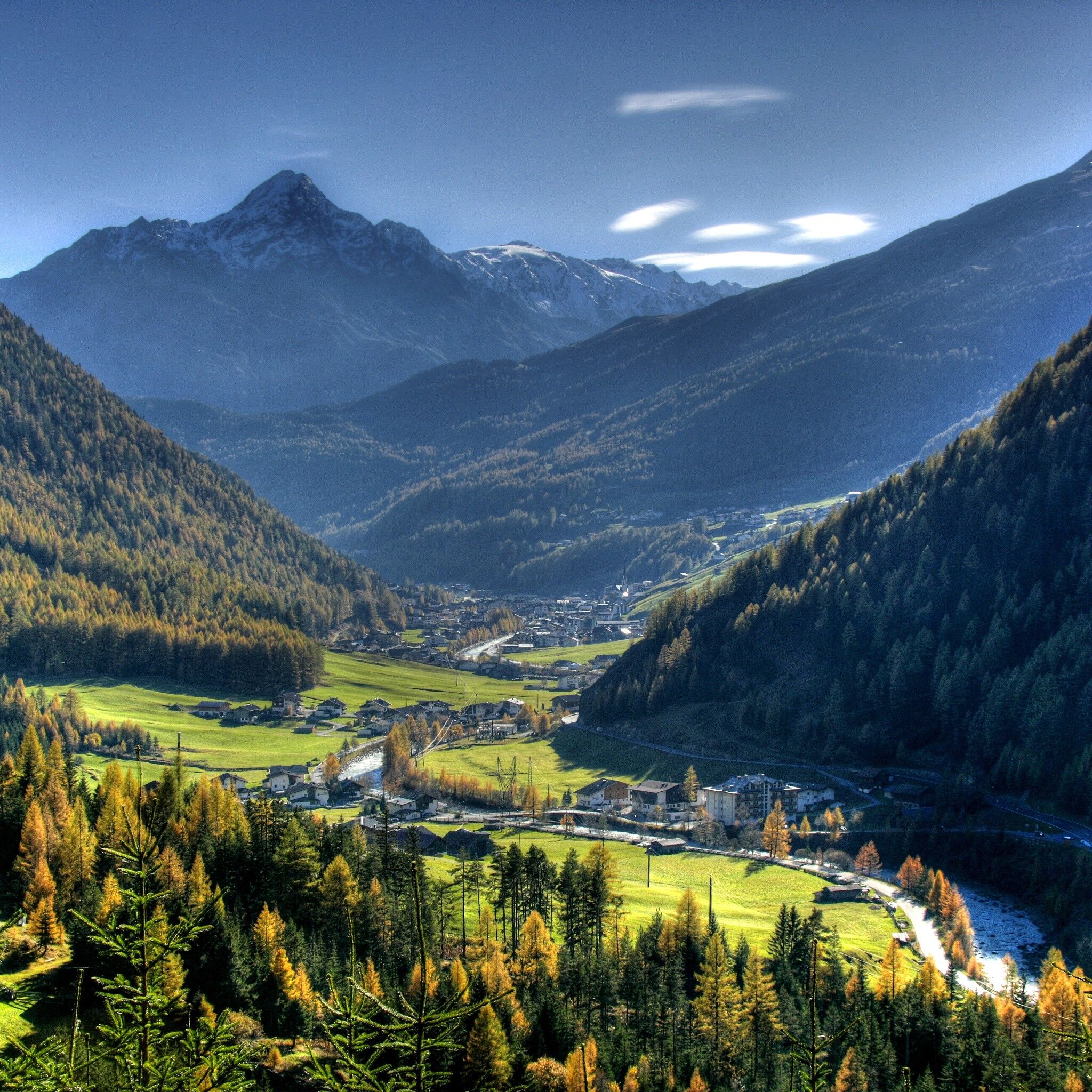
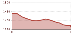
Mountainbike-Tour Kaiser Trail (698)

Sölden / Stubaier Alpen
Difficulty ratings: medium
Route length: 1.0 km
Duration: 0:15 h

The red Kaiser Trail is not accessible with lift assistance and is correspondingly secluded, fine, and flowy as you ride from Höfle (near Kaisers) to Brand.

Tour information

  • Requirement: medium
  • Length: 1.0 km
  • Duration: 0:15 h
  • Elevation uphill:68 hm
  • Elevation downhill:137 hm
Highest point1,437 m

Starting point

Sölden district Höfle

Finishing point

District Brand
  • Fitness level 3 / 6

Best time of year

  • January
  • February
  • March
  • April
  • May
  • June
  • July
  • August
  • September
  • October
  • November
  • December

Equipment

The Kaiser Trail is flowy to ride but offers a few root sections and downhill terrain.

In the BIKE REPUBLIC SÖLDEN, it's about the shared fun in bike sports – no matter your riding level. Be considerate and support each other. And behave equally respectfully towards all other people on the mountain and in the valley – and towards nature.

–> Stay on the paved and signposted paths. Do not ride over open meadows!

–> Avoid blocking the rear wheel to help preserve the paths.

–> Be considerate of animals & close the pasture gates. There may be cows on the trails and lines from time to time. Ride cautiously and keep distance!

–> Please note: Hikers are also on the natural trails of BIKE REPUBLIC SÖLDEN. Ride cautiously, stop, yield considerately, and greet kindly. 

Well-equipped rules! We recommend wearing MTB protective gear (helmet, protectors for knees, elbows, back, ...) on all lines, trails, enduro tracks, and mountain bike routes of BIKE REPUBLIC SÖLDEN. All routes are exclusively intended for use with mountain bikes that meet today's quality standards.

Source: Ötztal

Description

The Kaiser is a pleasure trail running on fine forest ground away from the busy activity of the BIKE REPUBLIC SÖLDEN. To start, you reach it not with lift assistance but by pedaling diligently (around 120 meters of elevation) via the Kaiserwald Route or the route Enduro Aschbach D. The flowy natural trail gets a bit of excitement from short root passages and partly downhill terrain. When it is wet,

the ground often stays moist and slippery for a long time. After about 500 meters, the Kaiser then flows into the Ötztal cycle path shortly before Aschbach.

You reach the start via the paved path, which leads through the village of Kaiser to the chapel and eventually turns into a forest road. At the end of this road, you find a small bridge where the trail starts.

Please watch out for hikers!


Getting here

  • Arrival by public transport

    Arrival by train

    Travel easily by train to Ötztal train station at the valley entrance. A local bus departs directly from the station square towards Obergurgl. The bus ride to Sölden takes about 1 - 1.5 hours. In the designated bike line buses, bike transport (including eMTBs) is free with a valid bus ticket.

    All important information on bus schedules, connections, and taxi companies can be found here.

  • Parking

    At the valley stations of the Gaislachkoglbahn and the Giggijochbahn, there are sufficient parking spaces available, and parking garages are also available.The parking spaces are subject to a fee.

    Paid overnight parking for cars is possible in the Gaislachkogl parking garage:

    more information about overnight parking

    Please respect that wild camping is prohibited!

More tours in the surrounding area

Newsletter

The mountain is calling? So does our newsletter!

In our monthly newsletter we reveal the best holiday tips for Tyrol.