
Place:
Sölden
:
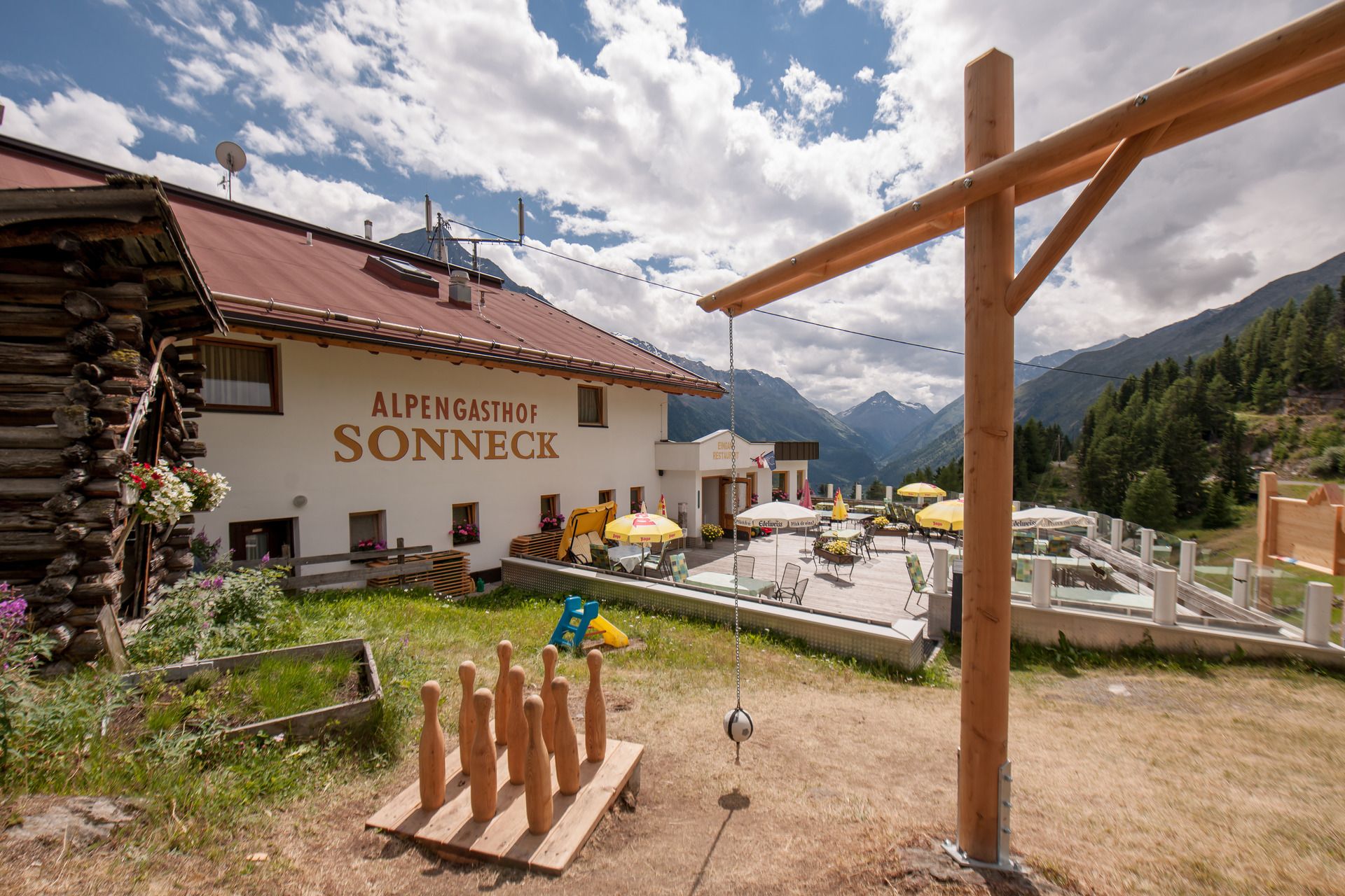
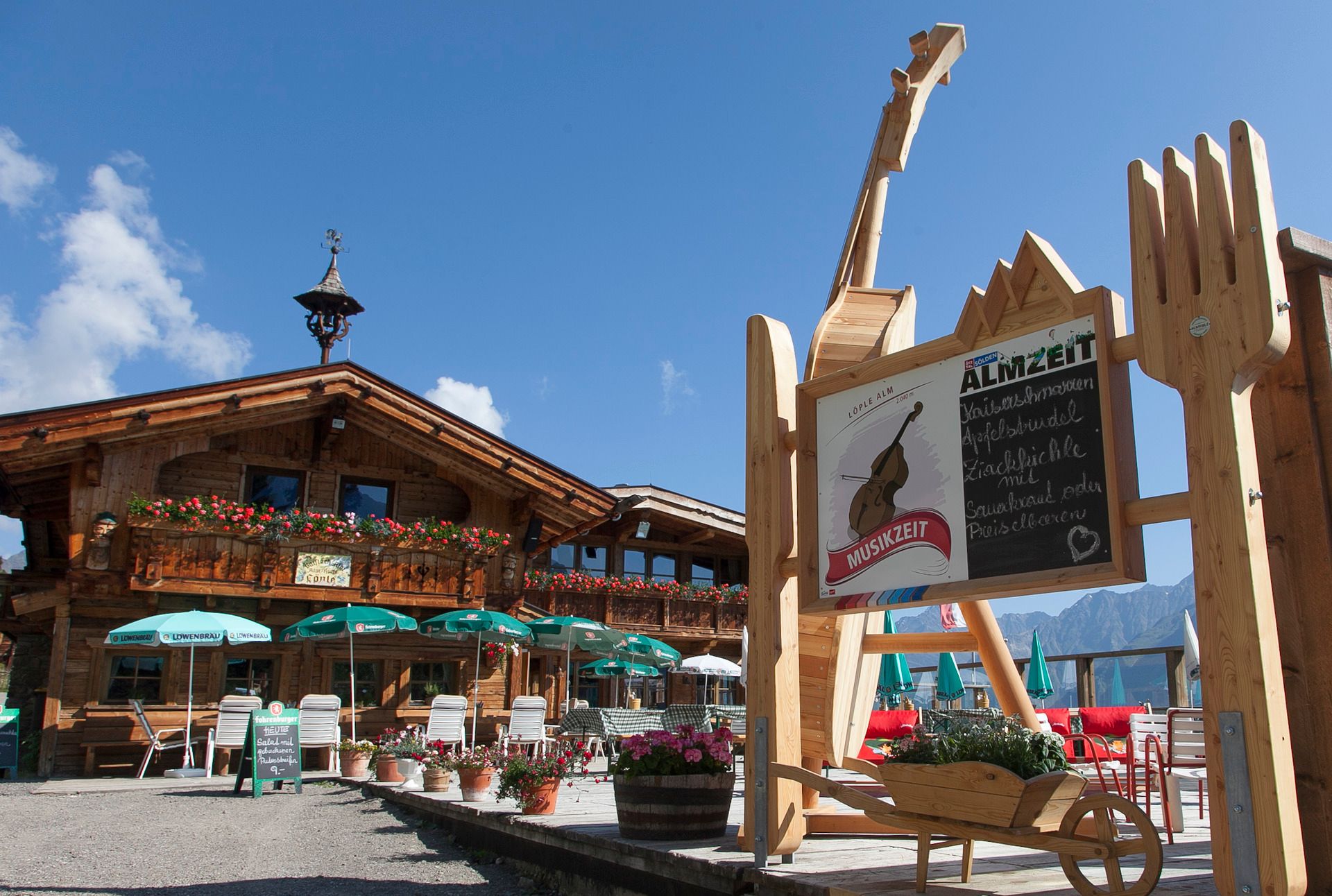
Restaurant, Alpine pasture / hut / mountain restaurant
A connection between two alpine huts, an up and down – and a lot of fun: The red Löple Trail runs for just over a kilometer on the edge of the republic.
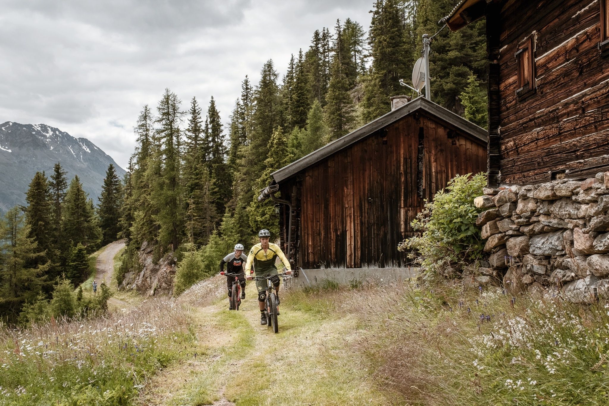
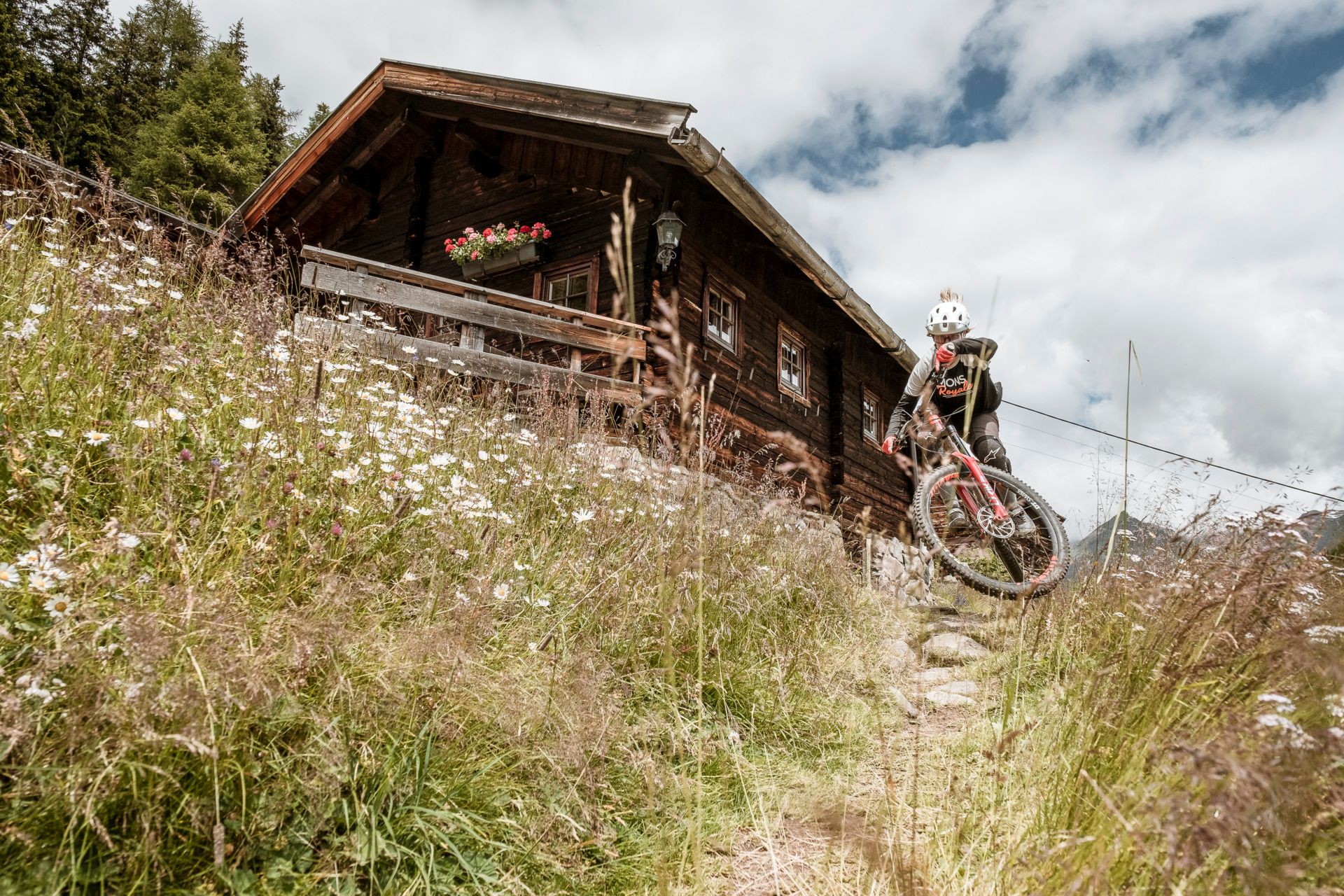
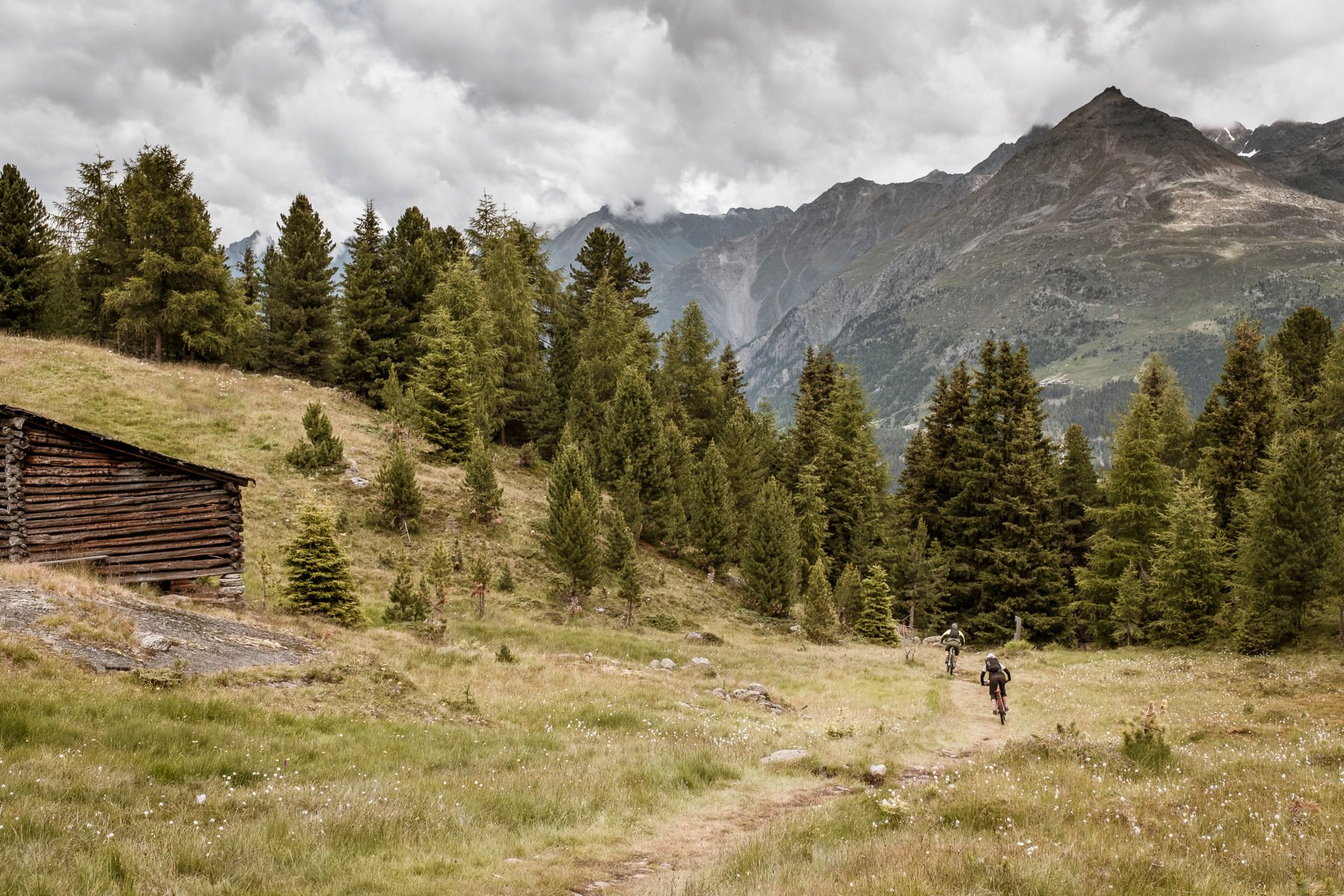
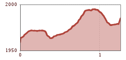
The Löple Trail is a red route. You should have some technical riding skills, but it does not pose a very big challenge.
At BIKE REPUBLIC SÖLDEN, it's all about shared fun with bike sports – no matter what riding level you have. Be considerate of each other and support each other. And behave with the same respect towards all other people on the mountain and in the valley – and towards nature.
–> Stay on the paved and signposted paths. Do not ride across open meadows!
–> Avoid locking the rear wheel and thus help preserve the trails.
–> Be considerate of animals & close the pasture gates. There can be cows on the trails and lines at any time. Ride carefully and keep your distance!
–> Please note: Hikers also use the nature trails of BIKE REPUBLIC SÖLDEN. Ride carefully, stop when necessary, give way considerately, and greet nicely.
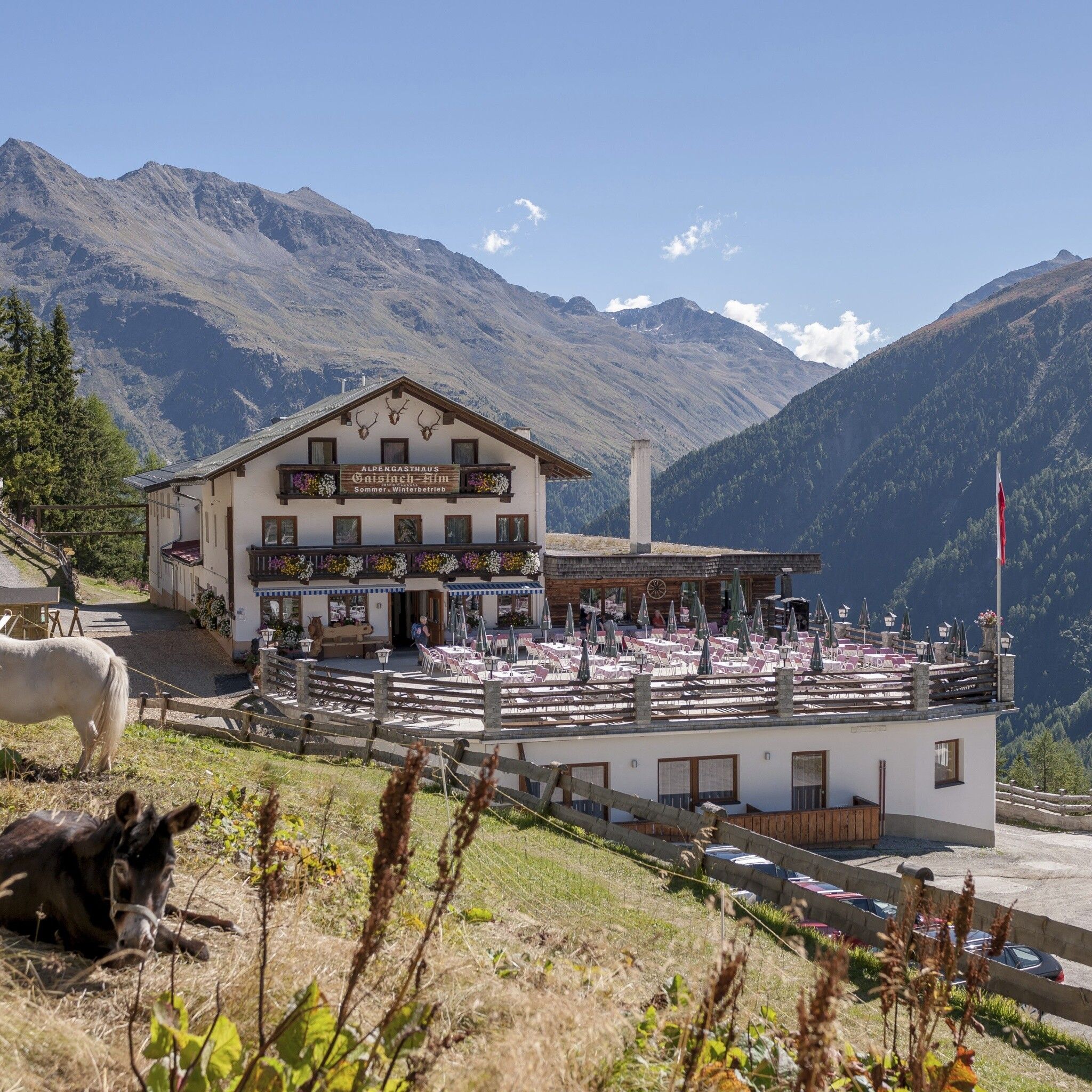
Well equipped rules! We recommend wearing MTB protective gear (helmet, protectors for knees, elbows, back, etc.) on all lines, trails, enduro tracks, and mountain bike routes of BIKE REPUBLIC SÖLDEN. All routes are exclusively intended for use with mountain bikes that meet current quality standards.The Löple Trail can be ridden well in both directions – from the Gaislach Alm to the Löple Alm and vice versa. It runs for just over a kilometer on the edge of the BIKE REPUBLIC SÖLDEN through forest and along a meadow path (the surface here is damp-resistant). The route is fairly flat but includes a short, steep descent. Technically it is challenging, but not too demanding.
You can reach Löple via the significantly more challenging Nene Trail, which you can reconnect to after an uphill. Or you can come from the high alpine Fernar Trail as part of the Long Trail Fernar: Fernar, Nene and Schteckler Trail form the most demanding route in the entire BIKE REPUBLIC – extremely challenging both physically and technically!
Please watch out for hikers!
Arrival by train
Get to Ötztal train station at the valley entrance easily by train. From the station forecourt, a shuttle bus departs towards Obergurgl. The bus ride to Sölden takes about 1 - 1.5 hours. On the designated bike shuttle buses, bike transport (including eMTBs) is free with a valid bus ticket.
All important information about bus schedules, connections, and taxi companies can be found here.
PARKING:
There are enough parking spaces at the base stations of the Gaislachkoglbahn and Giggijochbahn, and parking garages are also available.Parking spaces are subject to a fee.
Overnight parking for cars is possible for a fee in the Gaislachkogl parking garage:
more information about overnight parking
Please respect that wild camping is prohibited!

")


")

