Description
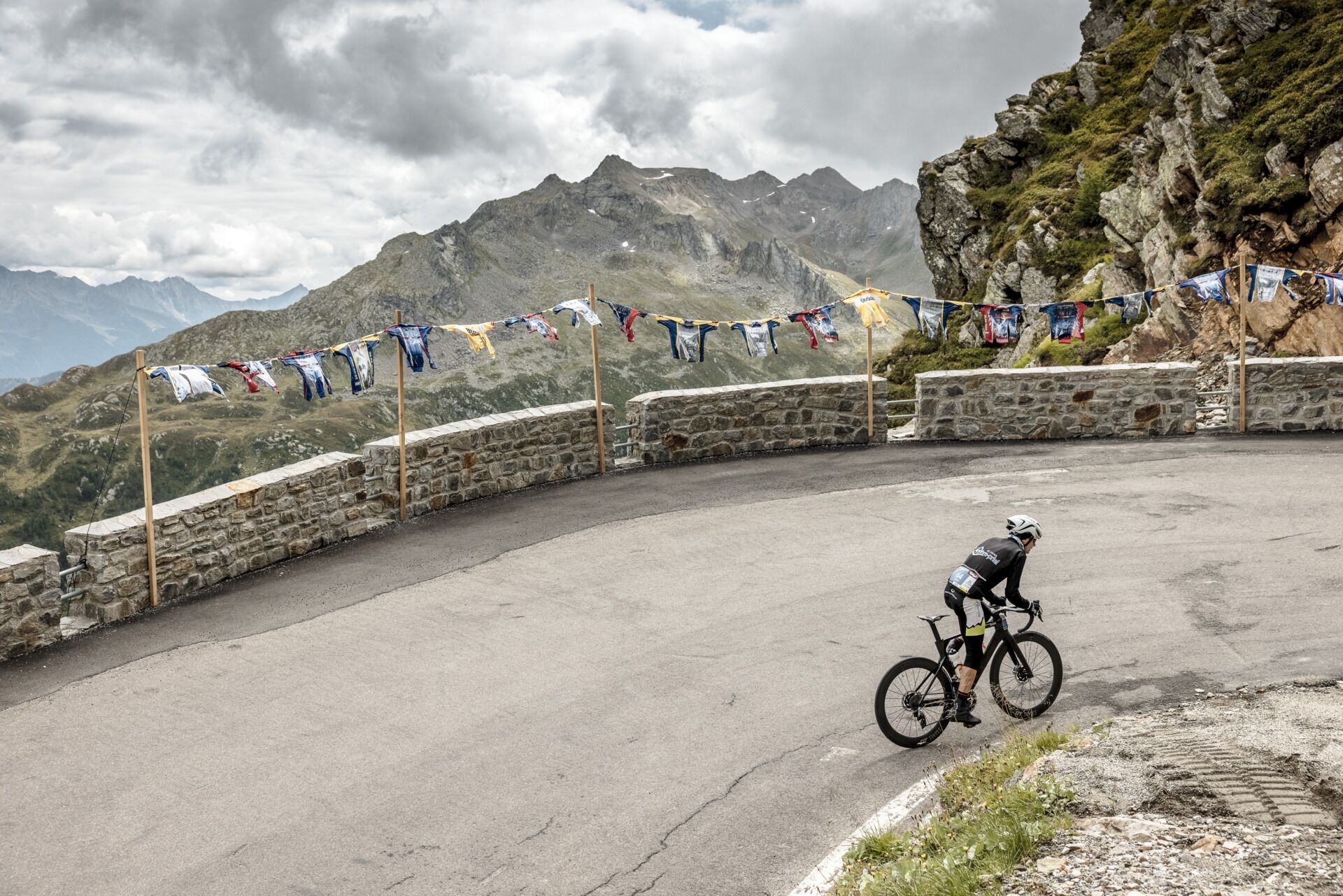
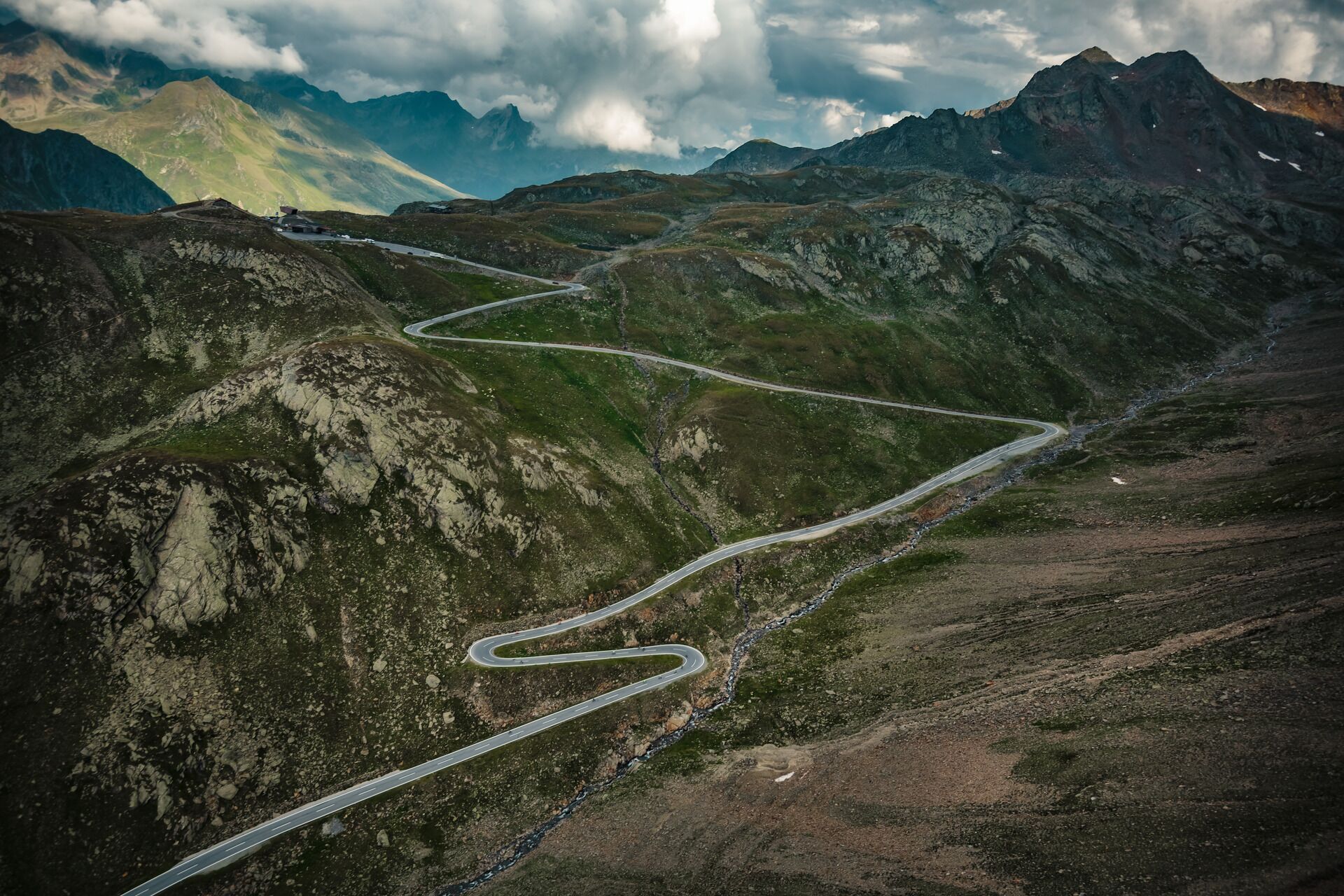
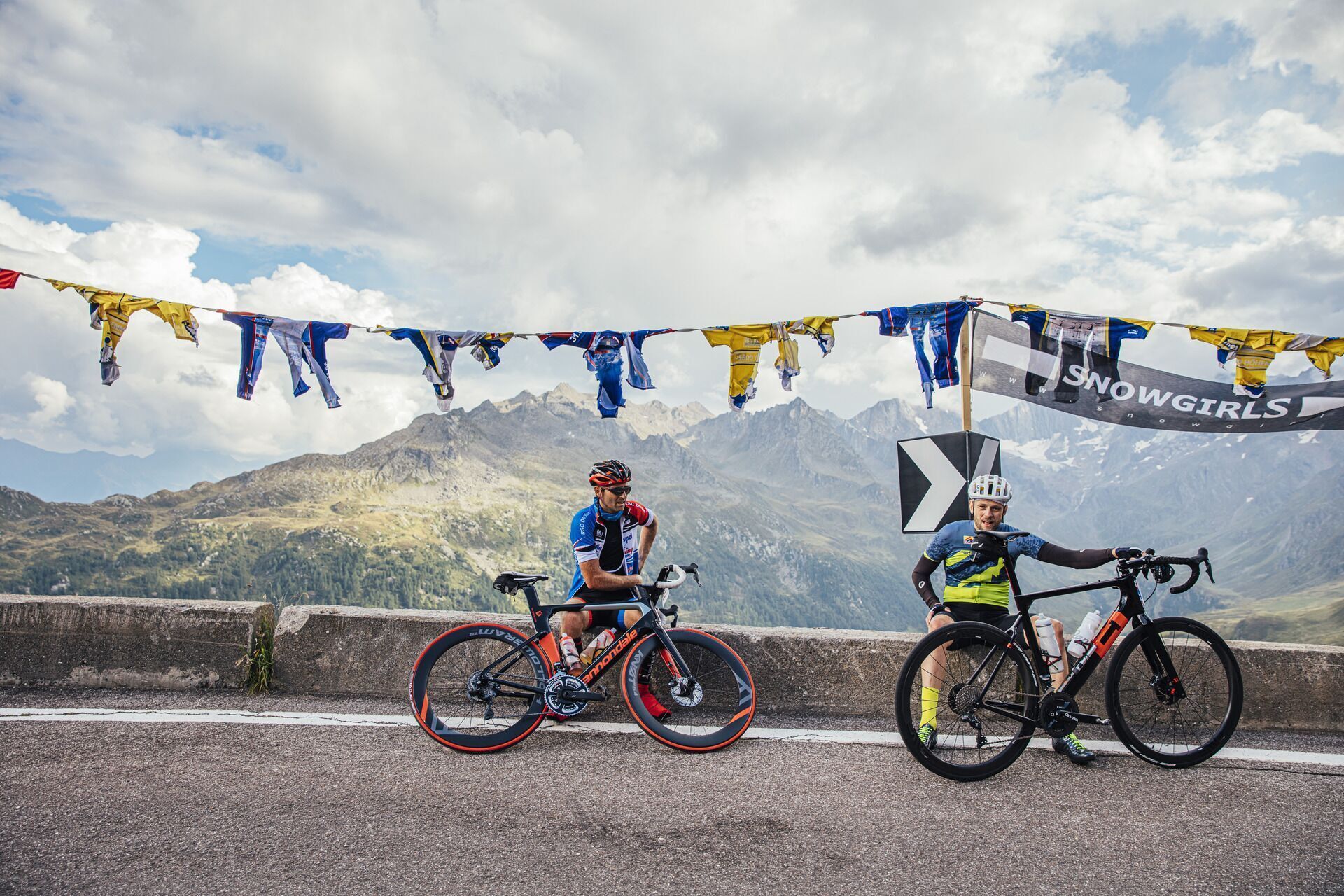
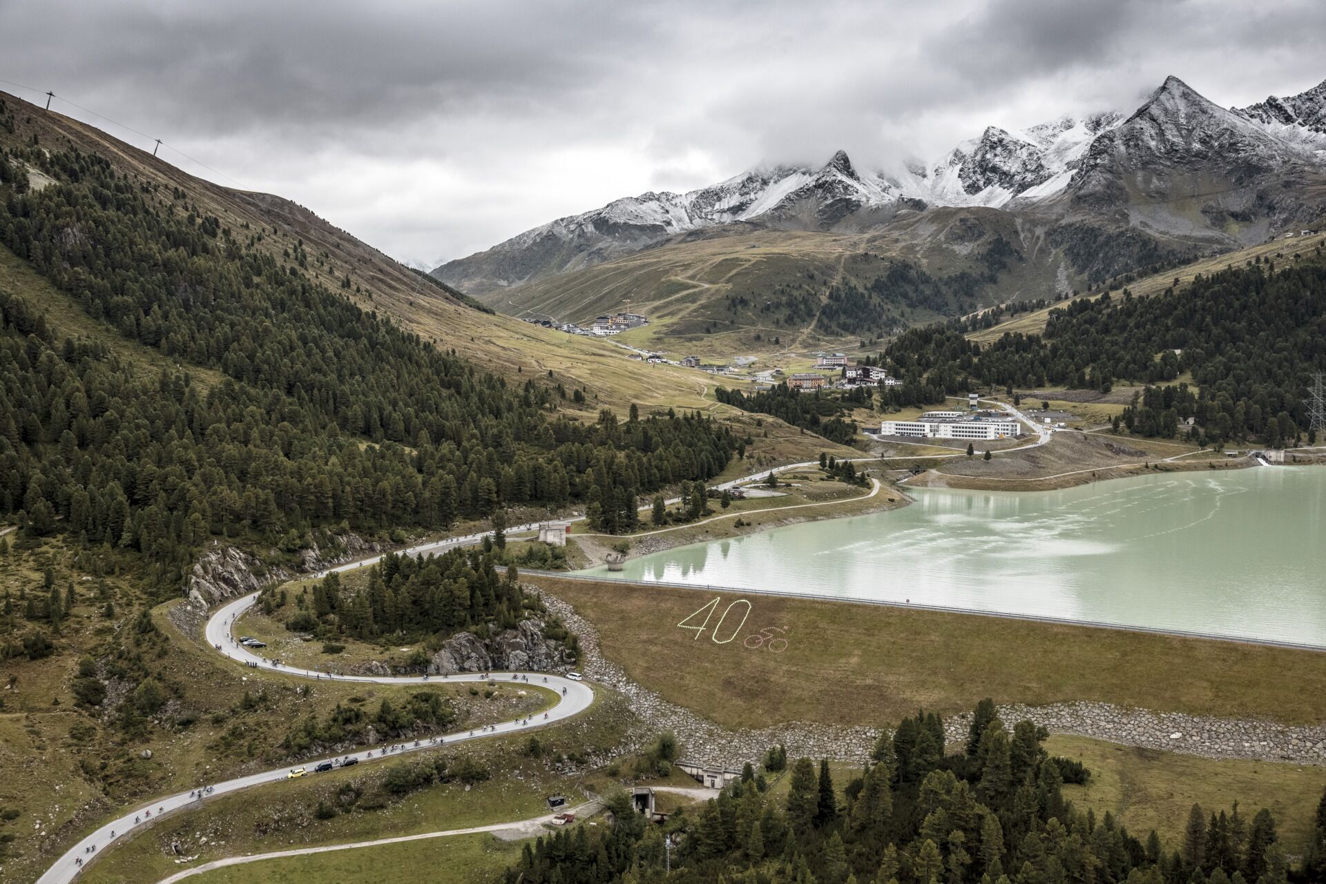
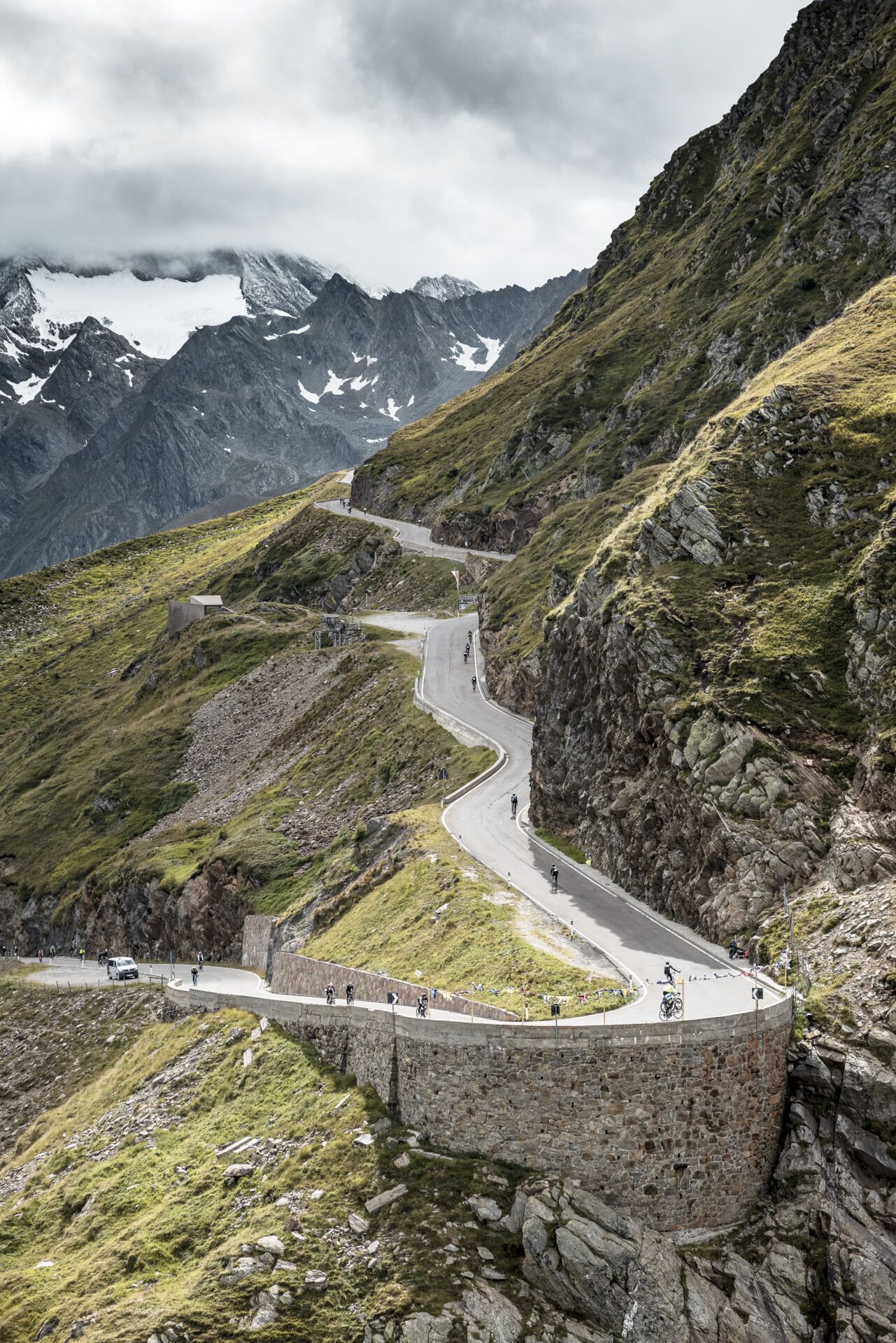
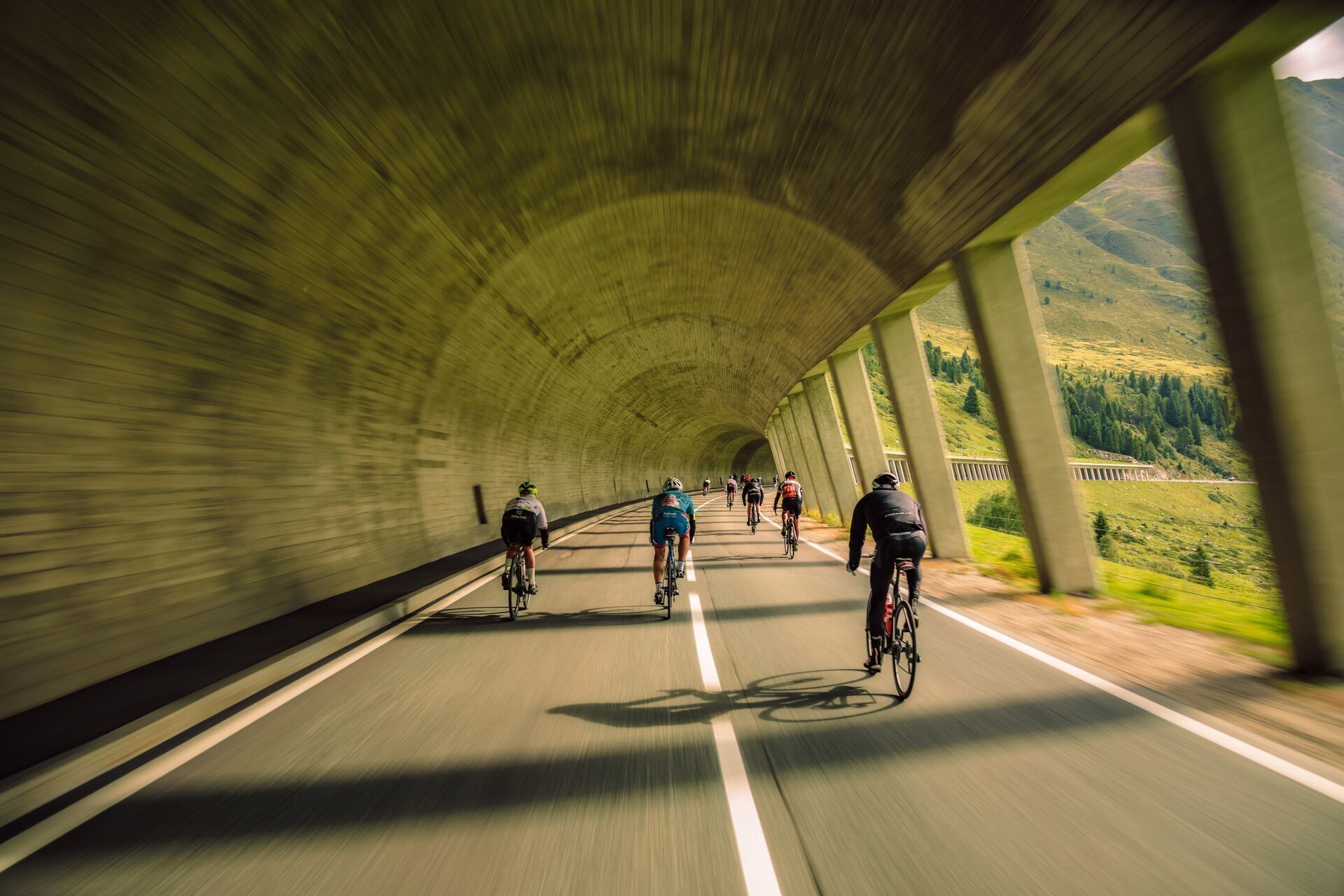
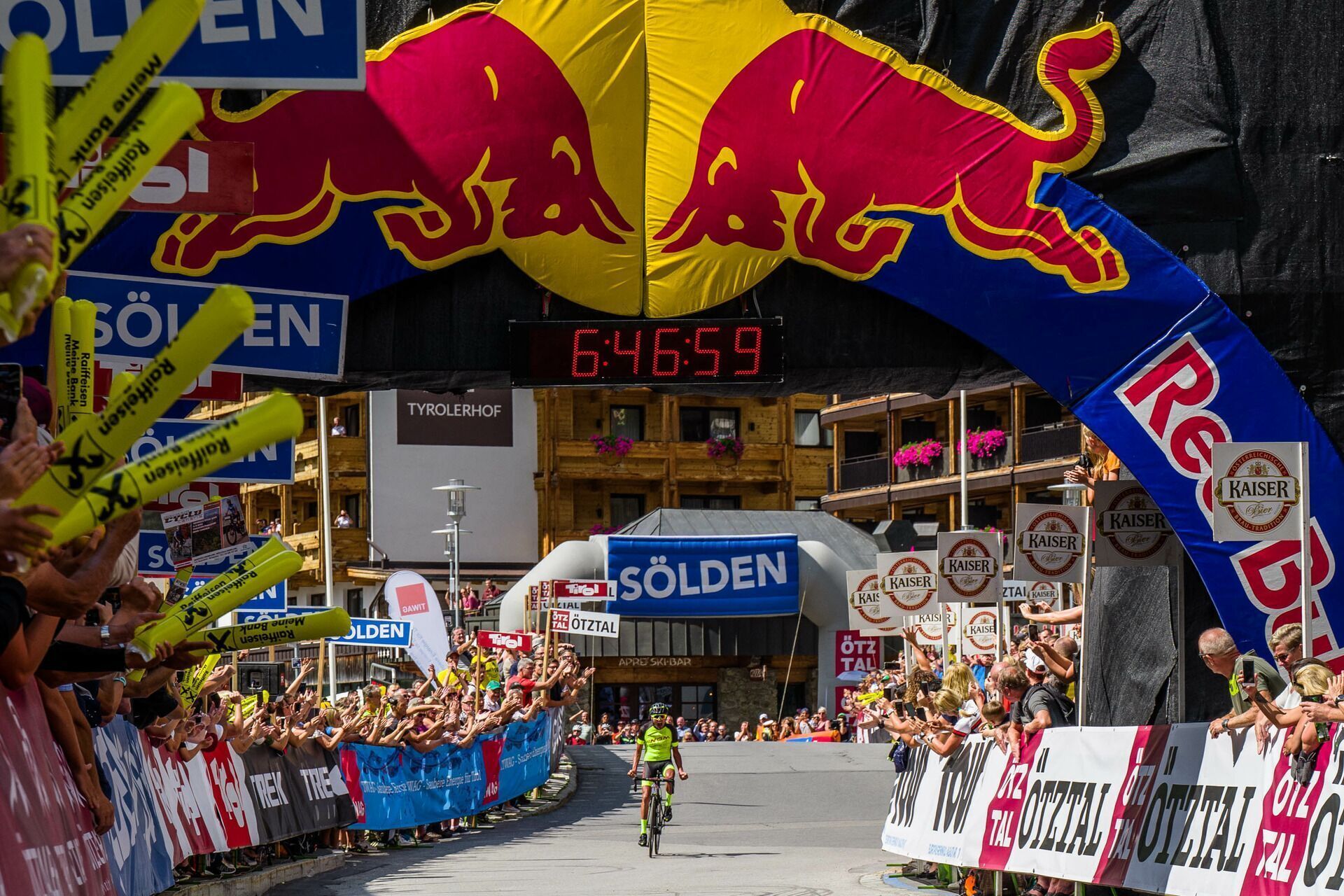
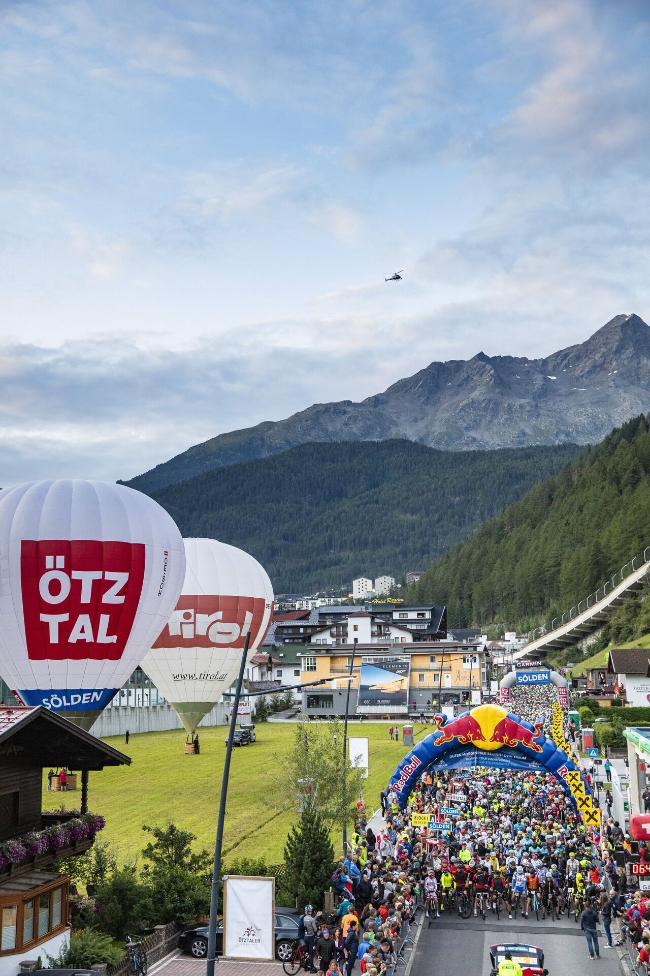
227 kilometers route, 5,500 meters of elevation, up to 18 percent gradient – these are the key data of the extremely demanding Ötztaler Radmarathon. It is regarded as one of the sporting highlights for the best amateur cyclists in the world. 4,000 participants from many countries will start in Sölden on the last weekend of August/first weekend of September, cheered on by thousands of spectators. Ötztal, the highlight of Tirol, does not skimp on steepness in this grueling cycling marathon: Four high Alpine passes pave the route equipped with almost unimaginable 5,500 meters of elevation. From the Ötztal glacier world, the circuit extends to Kühtai (2,020 m) downhill to Innsbruck and then over the Brenner Pass (1,370 m) to Sterzing up to the Jaufen Pass (2,090 m) and crowned by the Timmelsjoch (2,474 m). On the passes, ready, go...
Route detour Sellrain (temporary 2022)
Modification of the original route due to hydroelectric power plant construction site along the L13 Sellraintalstraße between Sellrain and Kematen (L13).
The new route starts after the Neuwirt guesthouse in Sellrain. Here we leave the original route along the L13 Sellraintalstraße and turn right onto the municipal road, ascending to the Ice Bridge and continue via Tanneben and Neder to Grinzens Kohlstatt. There the route merges into the L12 Götzener Landesstraße to the roundabout in Axams. The final section then continues via the L394 Axamer Straße to the L13 Sellraintalstraße. From Kematen, the route follows again the original route.
Technical data: Original route: approx. 6.00 km / 0 m ascent / 300 m descent Detour 2022: approx. 11.7 km / 182 m ascent / 483 m descent
Route detour Brenner (temporary 2022)
Modification of the original route due to rail replacement service because of track works between Innsbruck and Brenner.
In the center of Brenner town, turn right to the Sankt Valentin parking lot, where the Brenner Pass refreshment station will be set up in 2022. Follow the bike path to the Lupo Wolf exit and continue on the original route over the SS12 Brennerstadtstraße toward Sterzing.
Technical data: Original route: approx. 3.00 km / 13 m ascent / 33 m descent Detour 2022: approx. 3.1 km / 20 m ascent / 40 m descent
Route detour Sterzing
Modification of the original route to relieve traffic in the Sterzing town center. Access to Brixen, the motorway, Penserjoch, the Jaufen valley, Ratschings and Ridnaun will remain open to individual traffic.
At the northern entrance to Sterzing, cyclists leave Brennerstraße and turn into Kitzbühelerstraße; via Lahnstraße they ride to Thuins and continue onto Jaufenstraße, which they enter via the roundabout at Milchhof Sterzing. This route will remain in place long-term from 2022.
Technical data: Original route: approx. 3.00 km / 4 m ascent / 17 m descent Change from 2022: approx. 3.8 km / 115 m ascent / 131 m descent
The refreshment stations:
Kühtai after 49 KM
Brenner Pass after 126 KM
Jaufen Pass after 159 KM
Schönau ("Speck-Mich'l") in the Passeier valley after 197.5 KM
Seeberalm after 202 KM Sölden - finish 232.7 KM


")


")


