

Place:Brixen im Thale
:Restaurant
A tour to rack up kilometers and vertical meters!
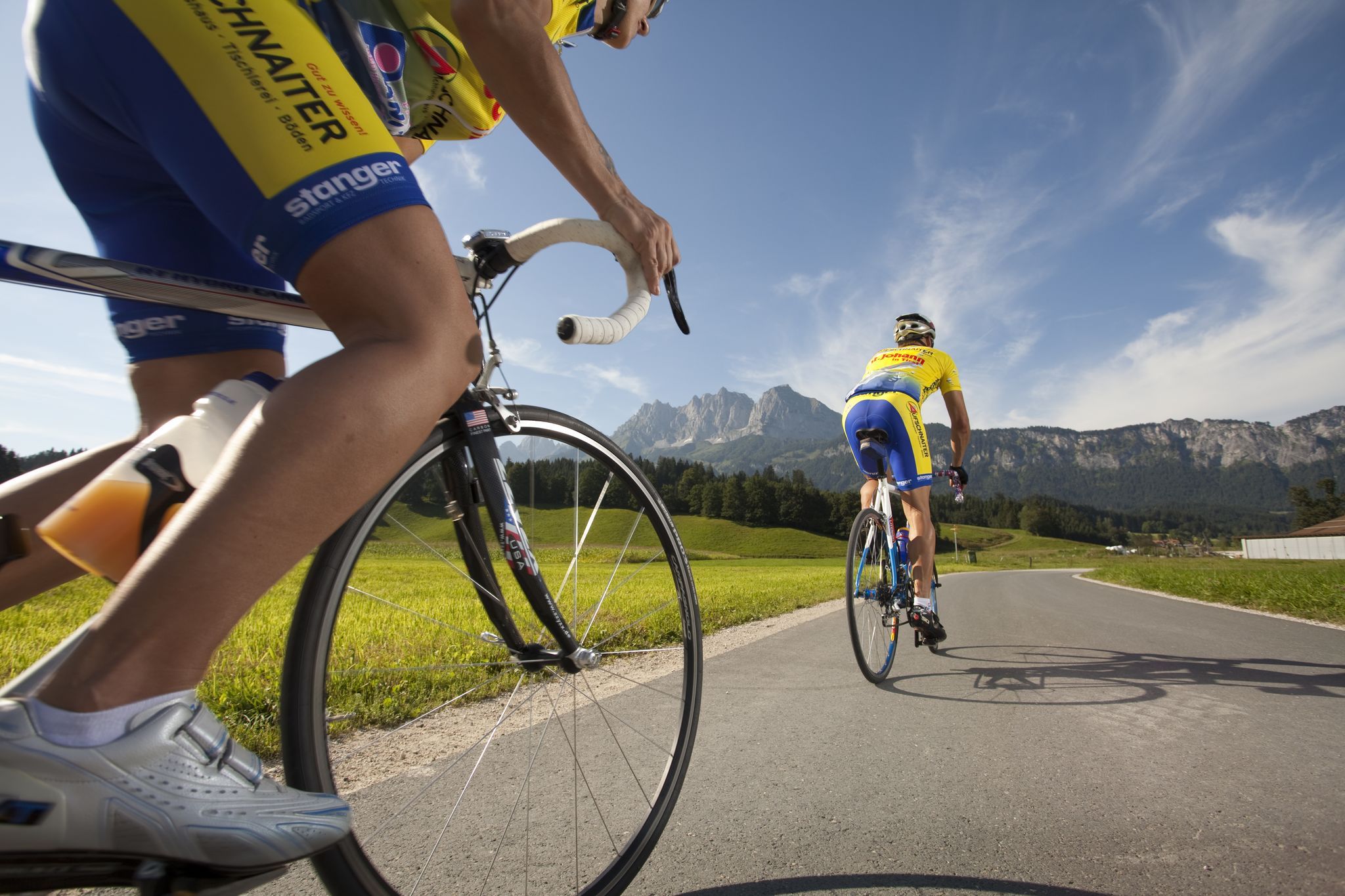
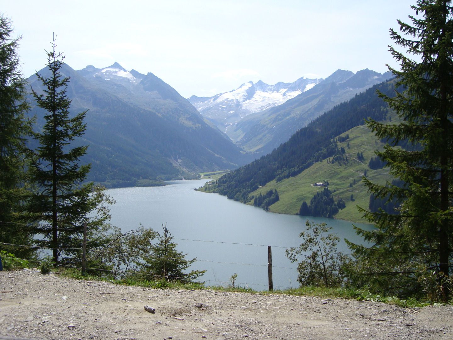
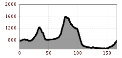
At 170 km, this tour is an extremely demanding road bike tour and requires a high level of fitness from everyone. The total of 2,000 meters of elevation gain is also rather unusual for a road bike tour. All in all, however, it is a magnificent tour around the Kitzbüheler Alpen to improve fitness and to enjoy. Starting at the tourist office in Westendorf, we ride on the main road towards Brixen im Thale and continue to Kirchberg. Before the Kitzbüheler Lebenberg Tunnel, we turn right and ride straight through the Kitzbüheler old town. The main road then leads us further to Aurach and Jochberg. From here, the route begins to climb gently and soon we find ourselves on the wide road up to Pass Thurn (1,273 m above sea level). A somewhat longer descent now takes us back down to Mittersill in the province of Salzburg. On the flat main road, we continue towards Bramberg and Neukirchen. Passing Wald im Pinzgau, we soon reach the small village of Krimml at the foot of the Krimmler Wasserfälle, from where the serpentines up to the Gerlospass begin. From 1,507 m above sea level, a 25 km long descent begins, past the Speichersee Gerlos, to Zell am Ziller. On the low-traffic old main road, we ride mostly very flat through the Zillertal to Strass im Zillertal, from where we continue on the main road towards Rattenberg. We pass the old town of Rattenberg, the smallest and oldest town in Austria, and continue on the main road to Wörgl. From Wörgl, we collect the final kilometers through the Brixental and finally return to Westendorf via the Windautal.
Sennerei Westendorf bus stop
Westendorf railway station
Mobility in the Brixental valley: https://www.kitzbueheler-alpen.com/de/bri/mobil.html
Via the B170 coming from Wörgl or Kitzbühel to Westendorf.
Westendorf centre


