

Opening hours:Today closed
Place:Westendorf
:Restaurant, Alpine pasture / hut / mountain restaurant
High above the Brixental Valley!
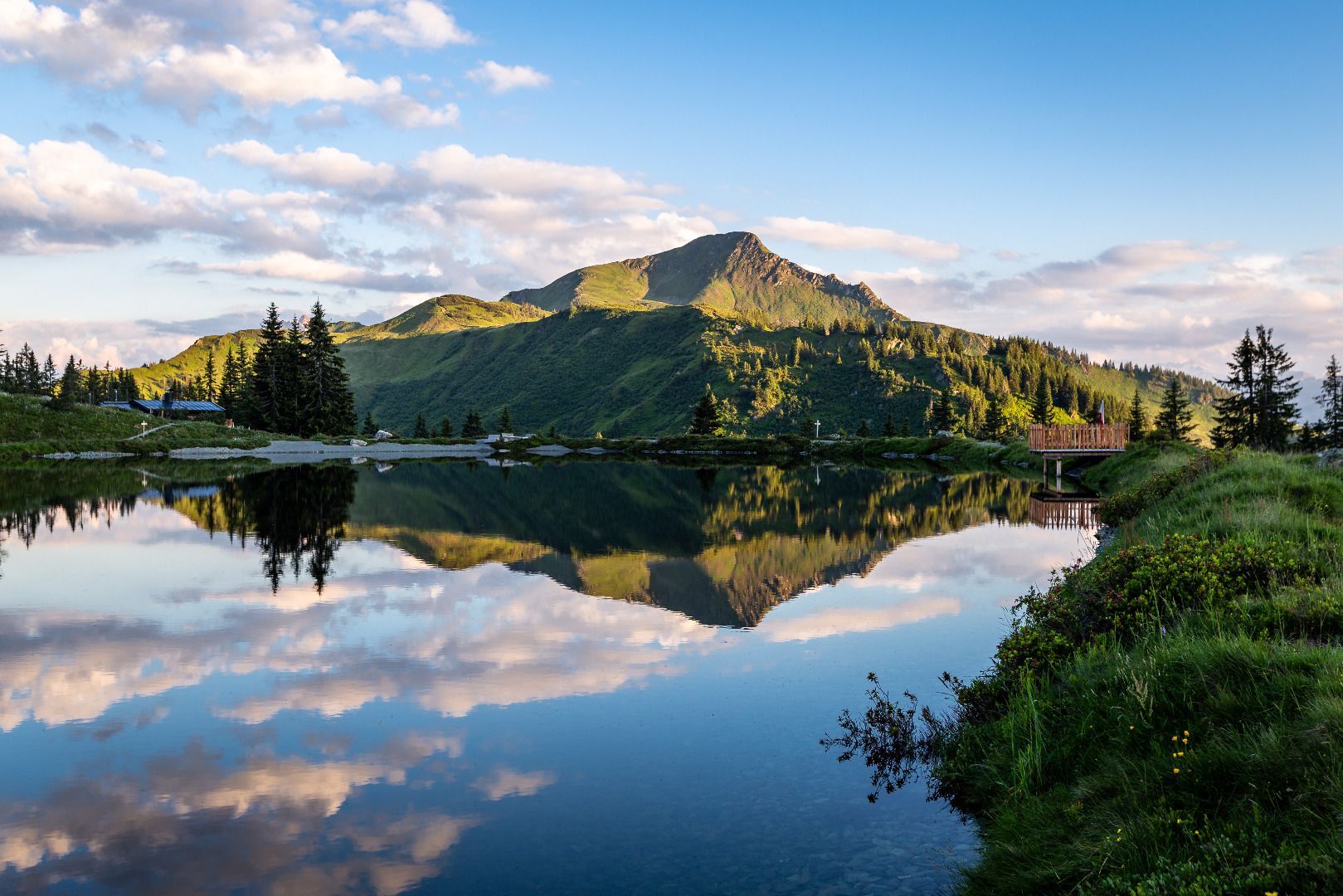
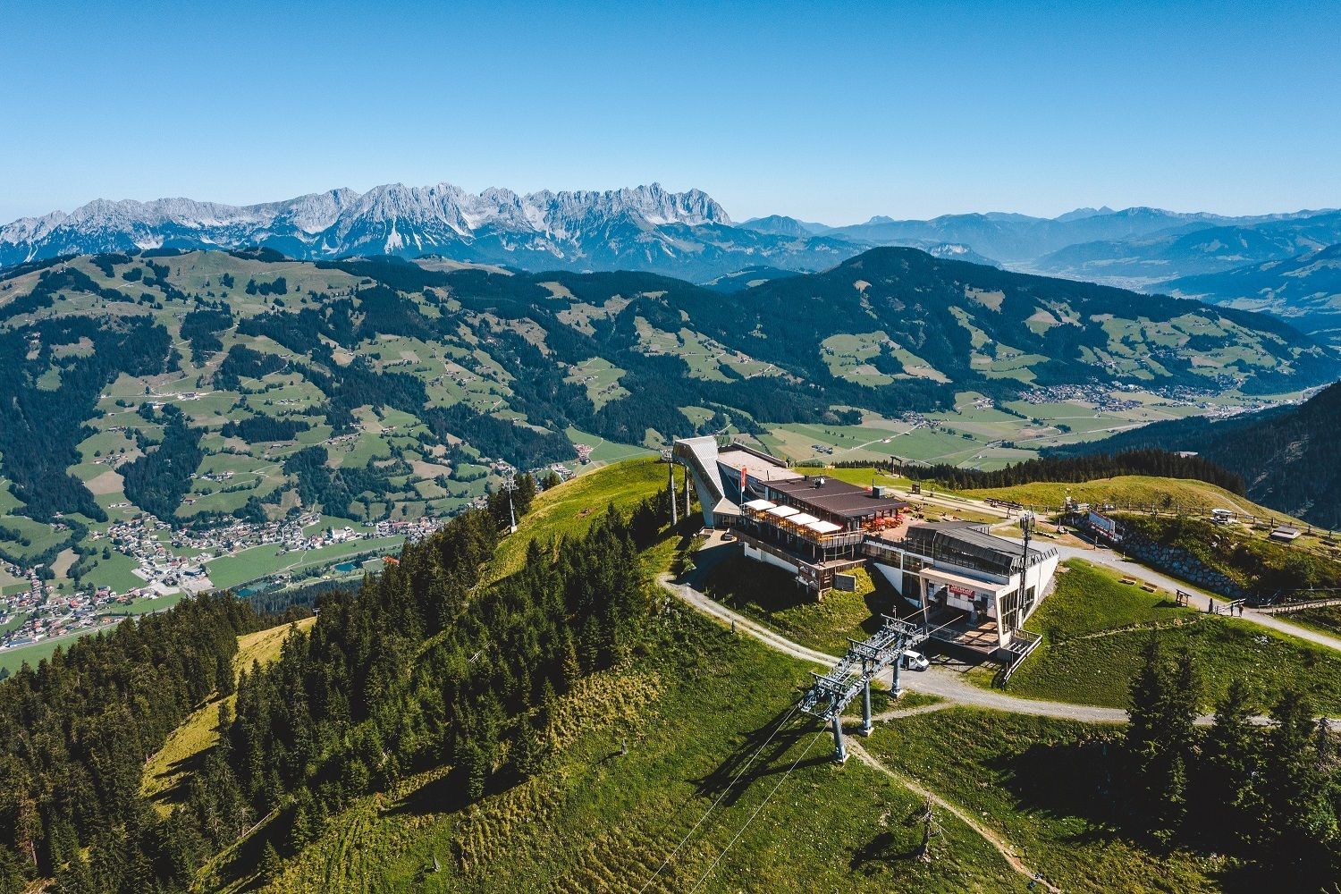
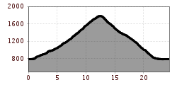
The starting point for Tour 209 is the Westendorf Information Office. We turn left onto Dorfstraße, and after the church we turn left again towards the Alpenrosenbahn cable car. Passing the valley station, we follow Route 209 on a well-paved road, past the Gassnerwirt inn, to the Schrandlhof farm, where we have already covered the first 300 metres of elevation. Passing directly by the snack bar, we now follow the well-maintained gravel path towards Fleidingalm. Under shady woods and on sunny sections, surrounded by green alpine meadows, the well-signposted path winds its way uphill. Shortly before Fleidingalm, the path splits; we keep to the right and soon the path becomes a little flatter. In the distance, we can already see our destination, the Brechhornhaus, where we can fortify ourselves with regional specialities on the terrace while enjoying the view of the Brechhorn. Directly above the Brechhornhaus (approx. 5 minutes' walk) is the Kreuzjöchlsee, one of the most beautiful mountain lakes in the region. The return route takes us via the Choralpe. From here, you have the most beautiful view over the Brixental valley with the Kitzbüheler Horn, the Wilder Kaiser and the Hohe Salven in the background. The route then leads briefly downhill over the ski slope, but immediately joins an alpine path that leads past the Kandleralm into the valley to Brixen. We cycle back to Westendorf on the Brixental cycle path.
bus stop Sennerei Westendorf
railway station Westendorf
Mobility in Brixental: https://www.kitzbueheler-alpen.com/de/bri/mobil.html
Alpenrosenbahn Westendorf


