
Opening hours:open
Difficulty:easy
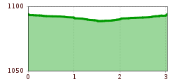
Length:573 mDuration:0:20 hElevation uphill:12 m
Short description:Great route, also possible with shoesTechnique: *Quality of experience: ******Recommended season:MayJuneJulyAugustSeptemberOctoberProperties:Round tripLoopRefreshment stops availableFamily friendlyBotanical highlightsFaunistic highlights

Description:
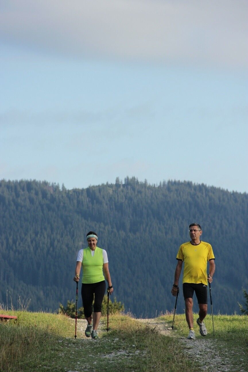
Experience the Running and Nordic Walking Arena Tannheimer Tal
Whether breathless beginner or well-trained mountaineer: in the Tannheimer Tal, everyone comes to their expense who wants to be active outdoors and explore the surrounding mountains on foot. Every day, from hobby athletes to professionals, the choice is yours: the largest network of trails in Tyrol offers 26 marked routes extending over a total of 186 kilometers. Beginner loops are included as well as challenging mountain runs. To help guests know which trail suits their fitness and demands, a specially developed map and small signs provide information on elevation profile, difficulty level, and length of the route – the Running and Nordic Walking map.
Along meadows, over green alpine pastures, past sparkling mountain lakes... Walking and running in the Tannheimer Tal is not only the best training for the body but above all balm for the soul. The starting points for all those eager for movement are in the six villages Tannheim, Grän-Haldensee, Nesselwängle-Haller, Zöblen, Schattwald, and Jungholz. From here, walkers, Nordic walkers, and runners follow the signposts easily recognizable by the little figures with poles. Additionally, all routes, as well as ski slopes, are classified into the categories black, red, and blue. This excellent signage contributed, among other things, to making what is probably the most beautiful high valley in Europe officially call itself a “Running and Walking Competence Center” since 2005.
Directions:

 Mirja Geh (26).jpg")


.jpg")
.jpg")
.jpg")


.jpg")
.jpg")


