Fitness parcours "Forstmeile" Ellmau

Ellmau / Kitzbühel Alps
Route length: 1.9 km

Ellmau hiking info - Gasthof Au - Forstmeile Ellmau
Tour information

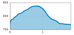
  • Length: 1.9 km
  • Elevation uphill:75 hm
  • Elevation downhill:75 hm
Highest point835 m

Starting point

District "Steinerner Tisch", Ellmau

Finishing point

District "Steinerner Tisch", Ellmau
  • Fitness level 2 / 6
  • Technique 1 / 6

Best time of year

  • January
  • February
  • March
  • April
  • May
  • June
  • July
  • August
  • September
  • October
  • November
  • December

Equipment

Running shoes, water bottle, energy bar, possibly gpx track
Source: TVB Wilder Kaiser

Description

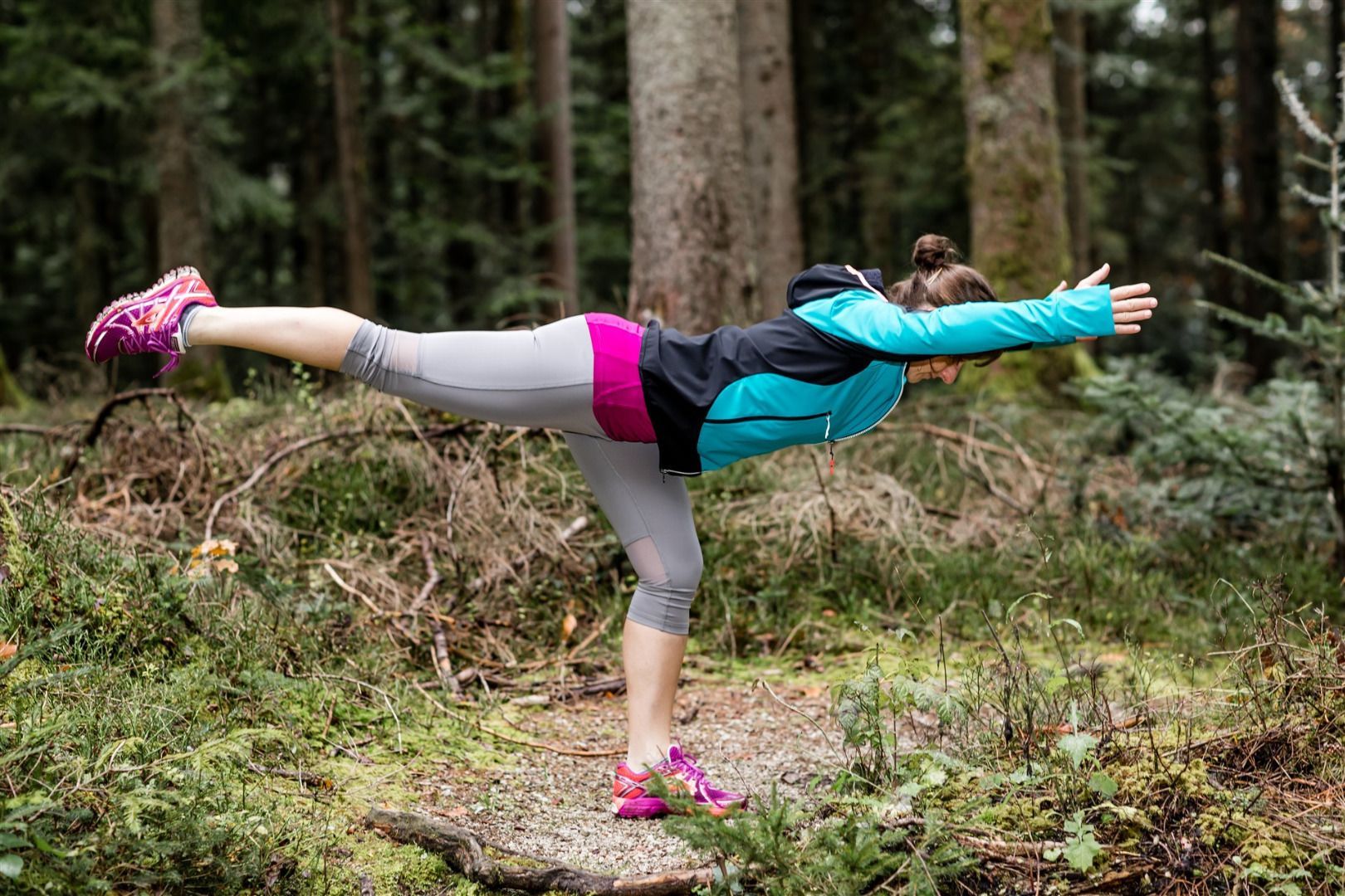
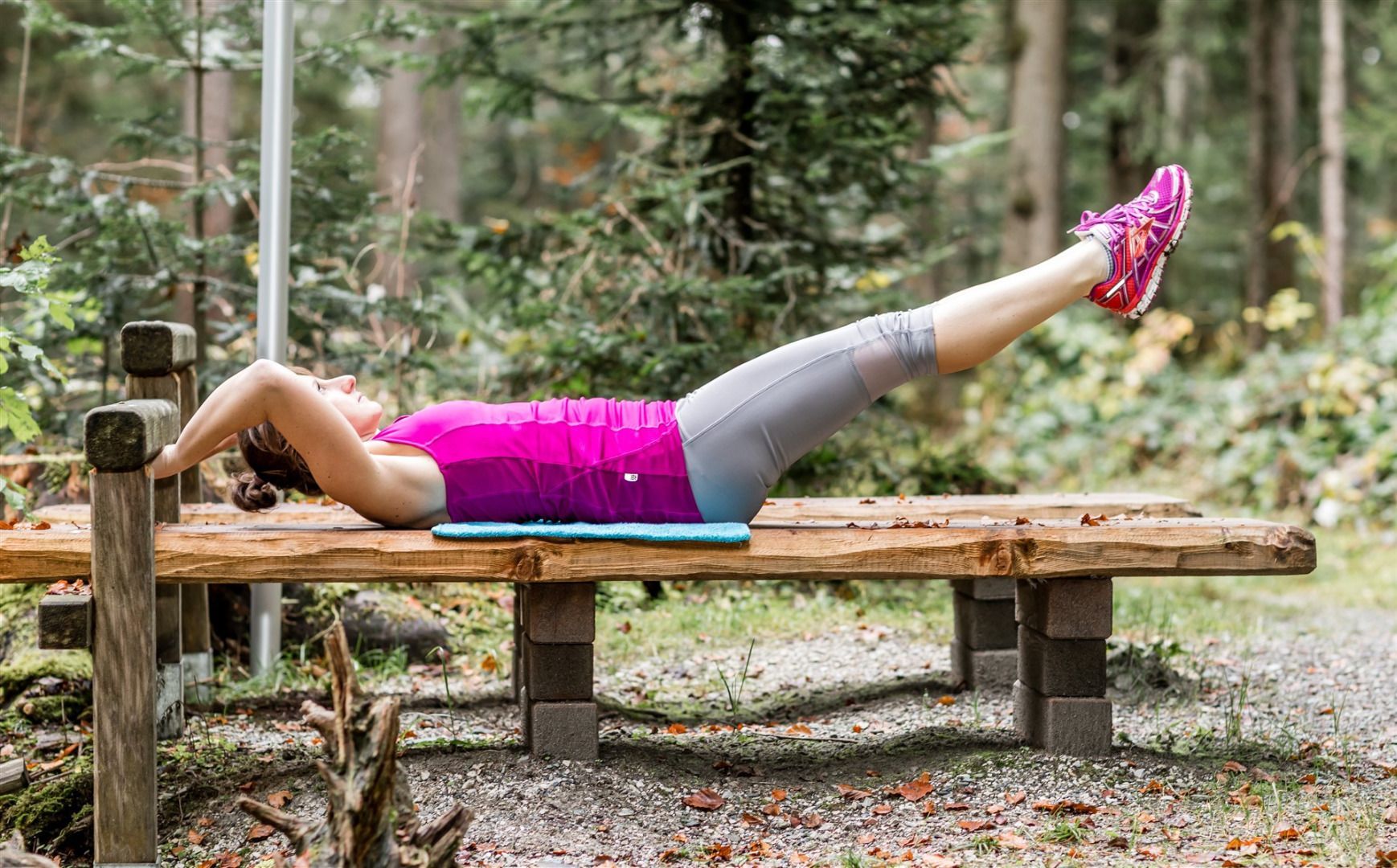
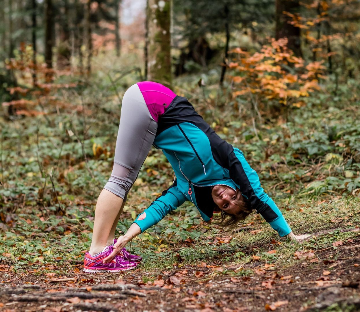
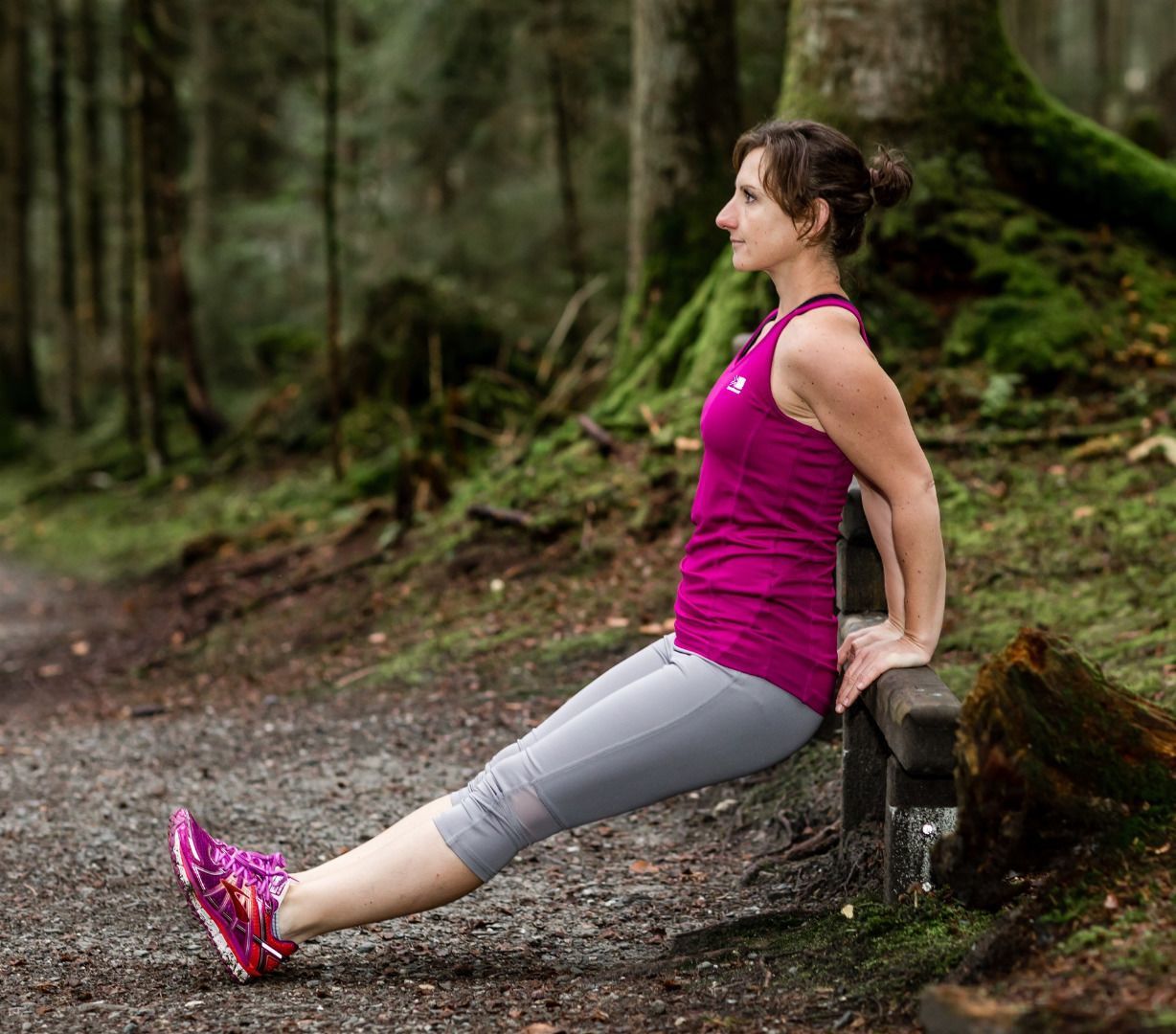
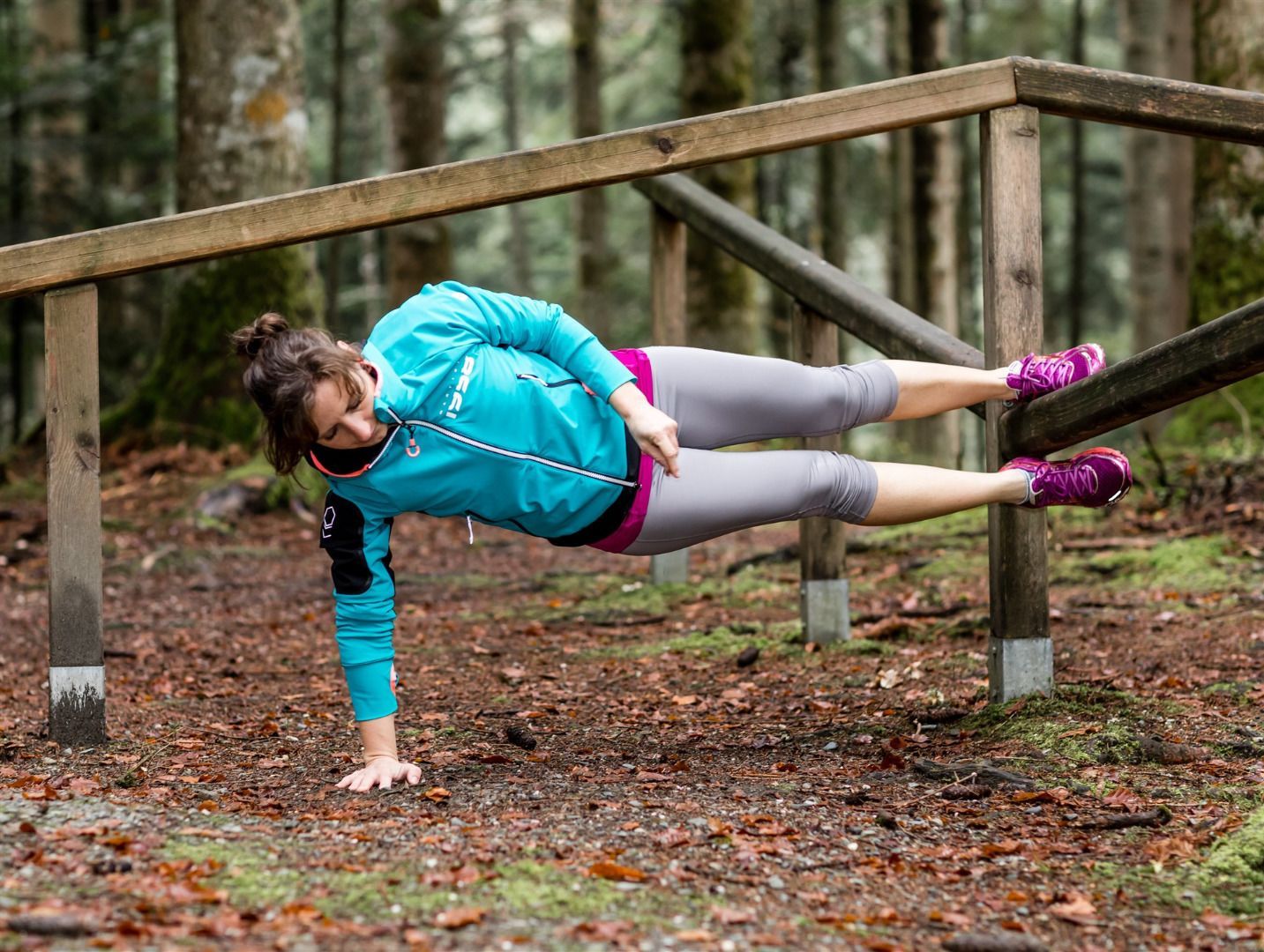
The start of the fitness trail "Forstmeile" is located in the Steinerner Tisch district in Ellmau. According to the motto "Sport makes you happy", 14 new stations were built, which will guide you around the 9 hole golf course.

The variant "Crunchy & Strong" requires full physical effort and sometimes also gets your heart rate up.

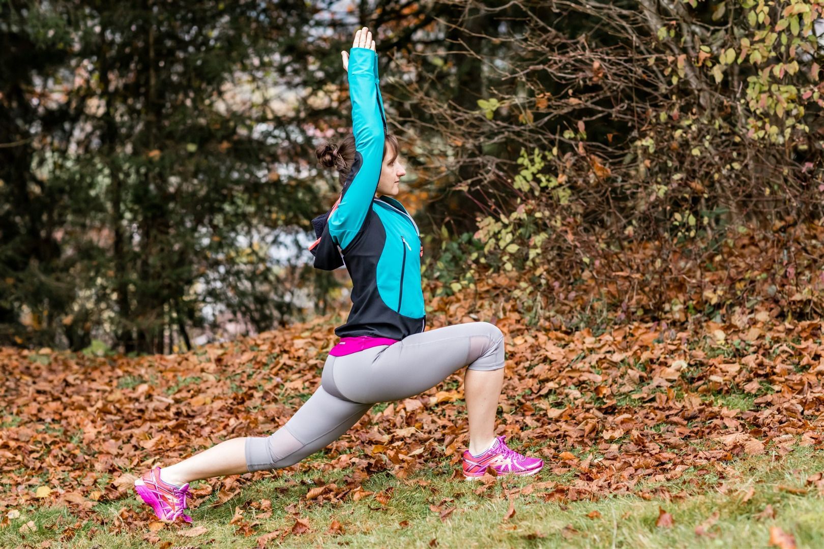
The variant "core strength" promotes strong deep muscles and core strength. The focus is on calm breathing and flowing movements. However, a little mobility and balance are more beneficial.

The trail ends with a 1,000 m run.

Have fun and stay healthy!

Getting here

  • Arrival by public transport

    KaiserJet stop “Gasthof Ellmauer Hof” or Postbus stop “Ellmau Steinerner Tisch/Gasthof Ellmauer Hof".
    More information at: www.wilderkaiser.info/mobility

Weather

Today

partly Cloudy
24°C/12°C
20%0l5 km/h

Fri

clear sky
29°C/13°C
45%0.7l5 km/h

Sat

light rain showers
22°C/13°C
65%4.3l10 km/h
Go to weather forecast

More tours in the surrounding area

  • Hintere Goinger Halt summit tour

    Difficulty:difficult
    Length:9.3 kmDuration:6:30 hElevation uphill:1,090 m
  • Hochalm hike

    Difficulty:medium
    Length:19.6 kmDuration:7:00 hElevation uphill:1,140 m
  • MTB Tour Söll - Hochsöll

    Difficulty:medium
    Length:5.1 kmElevation uphill:480 m
  • Panoramic circuit Brandstadl–Hartkaiser

    Difficulty:easy
    Length:6.0 kmDuration:1:50 hElevation uphill:170 m
  • Winter walking Biedringer Platte

    Opening hours:closed
    Length:12.7 kmDuration:5:30 hElevation uphill:470 m
  • “Moor & more” Rocky Way

    Difficulty:easy
    Length:8.0 kmDuration:3:00 hElevation uphill:380 m
  • Tauernblick panorama circular hiking route

    Difficulty:medium
    Length:13.6 kmDuration:6:00 hElevation uphill:980 m
  • Astberg Trail

    Length:9.7 kmElevation uphill:500 m
  • Astberg circular hiking route

    Difficulty:easy
    Length:1.5 kmDuration:0:30 hElevation uphill:80 m
  • Kaiserkrone - stage 3

    Difficulty:medium
    Length:9.3 kmDuration:4:30 hElevation uphill:840 m
  • 3-day hut tour Wilder Kaiser

    Difficulty:difficult
    Length:24.6 kmDuration:14:00 hElevation uphill:2,060 m
  • Eagle Walk Stage 02: Gaudeamushütte - Kaindlhütte

    Difficulty:medium
    Length:15.1 kmDuration:6:30 hElevation uphill:888 m
  • Kaiserkrone - stage 1

    Difficulty:medium
    Length:8.0 kmDuration:4:30 hElevation uphill:1,120 m
Newsletter

The mountain is calling? So does our newsletter!

In our monthly newsletter we reveal the best holiday tips for Tyrol.