Großache running circuit

St. Johann in Tirol / Loferer Steinberge
Route length: 9.2 km

Leisurely run along the Ache 

Tour information

  • Length: 9.2 km
  • Elevation uphill:15 hm
  • Elevation downhill:15 hm

Starting point

St. Johann in Tirol - Koasastadion

Finishing point

St. Johann in Tirol - Koasastadion
Source: Kitzbüheler Alpen - St. Johann in Tirol

Description

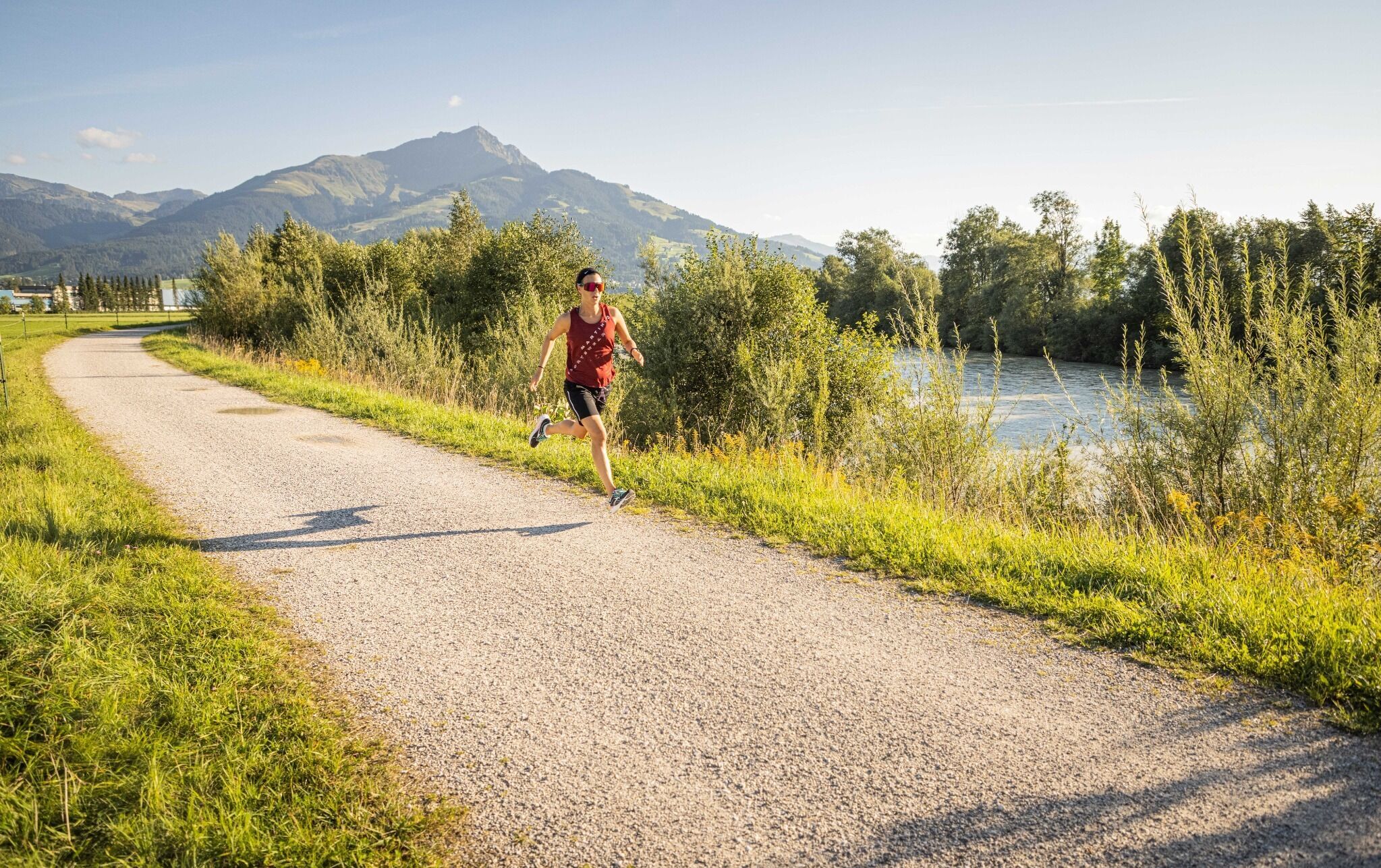
The Großache running circuit starts at the Koasastadion. Through the underpass and along Birkenstraße you reach the Großache. Run downstream in the direction of Kirchdorf. At km 2.8 at the Furtherbrücke bridge, you can shorten the loop by changing banks and running back again.
The extended loop takes you to the village center of Kirchdorf. Cross the bridge here and run upstream back to the Koasastadion.

More tours in the surrounding area

  • Angereralm - Harschbichl

    Difficulty: medium
    Length: 18.2 km Duration: 2:00 h Elevation uphill: 942 m
  • Bichlachrunde

    Difficulty: easy
    Length: 10.5 km Duration: 3:30 h Elevation uphill: 295 m
  • Eichenhof

    Place: St. Johann in Tirol Difficulty: medium
    Length: 4 m Duration: 2:30 h Elevation uphill: 920 m
  • Eifersbacher Wasserfall

    Difficulty: medium
    Length: 5.9 km Duration: 2:30 h Elevation uphill: 241 m
  • Alpine Outdoor Gallery

    Difficulty: easy
    Length: 3.4 km Duration: 1:00 h Elevation uphill: 117 m
  • Hinterkaiser-Höflinger Trail

    Opening hours: closed
    Difficulty: difficult
    Length: 13.3 km Elevation uphill: 174 m : Style: Skating, Classic
  • Scenic River Trail Großache

    Difficulty: easy
    Length: 14.3 km Duration: 3:30 h Elevation uphill: 20 m
  • Kaiserbachtal - Feldberg - Stripsenjoch

    Difficulty: medium
    Length: 21.0 km Duration: 9:00 h Elevation uphill: 1,170 m
  • Eagle Walk Stage 01: St. Johann in Tirol - Gaudeamushütte

    Difficulty: medium
    Length: 13.0 km Duration: 5:00 h Elevation uphill: 1,060 m
  • Kalkstein Loop

    Difficulty: medium
    Length: 41.7 km Duration: 3:30 h Elevation uphill: 341 m
  • OD Trails

    Opening hours: closed
    Difficulty: medium
  • Wilder-Kaiser-Steig - Detour

    Difficulty: difficult
    Length: 33.0 km Duration: 16:49 h Elevation uphill: 2,311 m
  • Schnackler Adventure Trail

    Difficulty: easy
    Length: 2.0 km Duration: 0:45 h Elevation uphill: 130 m
  • Angerer Alm

    Difficulty: medium
    Length: 5.7 km Duration: 2:45 h Elevation uphill: 652 m
Newsletter

The mountain is calling? So does our newsletter!

In our monthly newsletter we reveal the best holiday tips for Tyrol.