Mountain hikes Alpenschlössl-Franzlhof-Village

Söll / Kitzbühel Alps
Difficulty ratings: easy
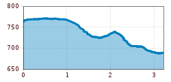
Route length: 3.2 km
Duration: 0:55 h

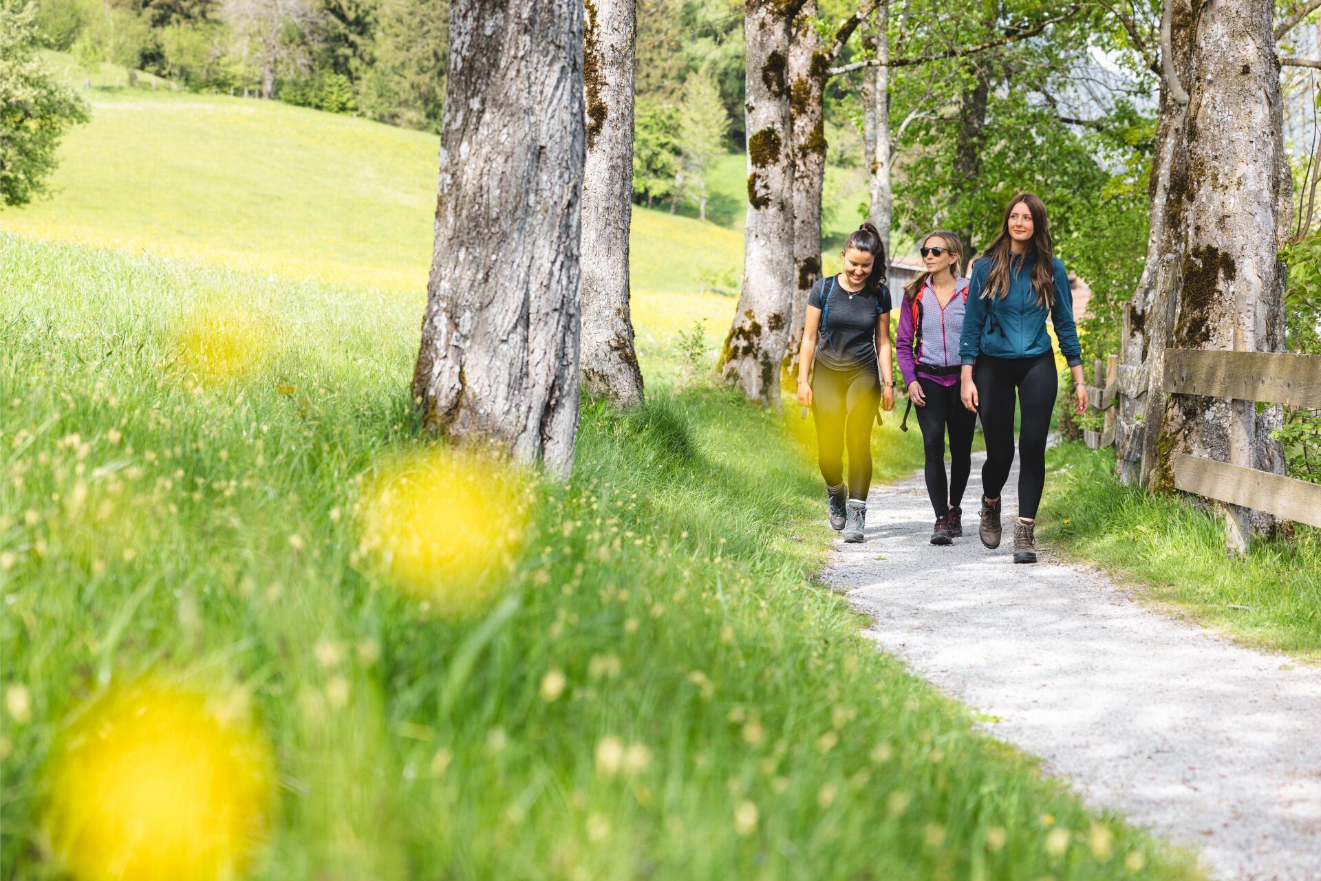
A relaxing hike towards the village center.
Tour information

  • Requirement: easy
  • Length: 3.2 km
  • Duration: 0:55 h
  • Elevation uphill:20 hm
  • Elevation downhill:90 hm
Highest point772 m

Starting point

Hiking starting point Alpenschlössl, Söll (762 m)

Finishing point

Hiking starting point Alpenschlössl Söll (762 m)
  • Fitness level 1 / 6
  • Technique 1 / 6

Features

  • Suitable for families

Best time of year

  • January
  • February
  • March
  • April
  • May
  • June
  • July
  • August
  • September
  • October
  • November
  • December

Trail condition

The composition of the path varies between asphalt, footpath and meadow path.

Equipment

Rucksack, sturdy hiking/mountaineering boots with anti-slip treaded soles, weather-appropriate hiking gear (breathable), a change of clothes, sun protection (sunglasses, sun cream, lip protection, headgear), waterproofs (rain jacket/poncho, pocket umbrella, rucksack protector), cold protection (hat, gloves), sufficient food and drink, hiking poles (height adjustable) if required, first aid kit, mobile phone with fully charged battery, plastic bag for waste, hiking map, route description and information materials (GPX track), ID, insurance card, cash
Source: TVB Wilder Kaiser

Description

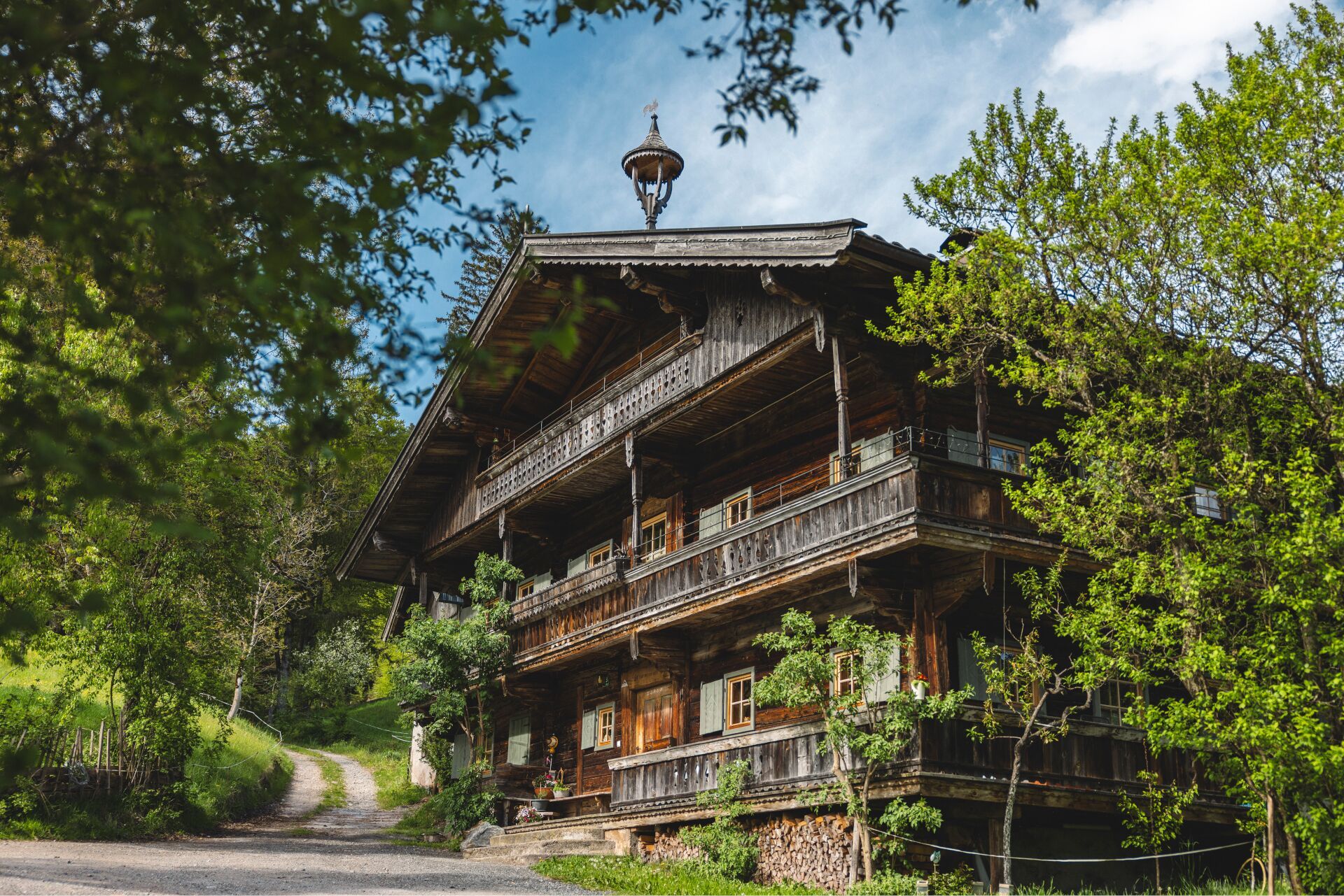
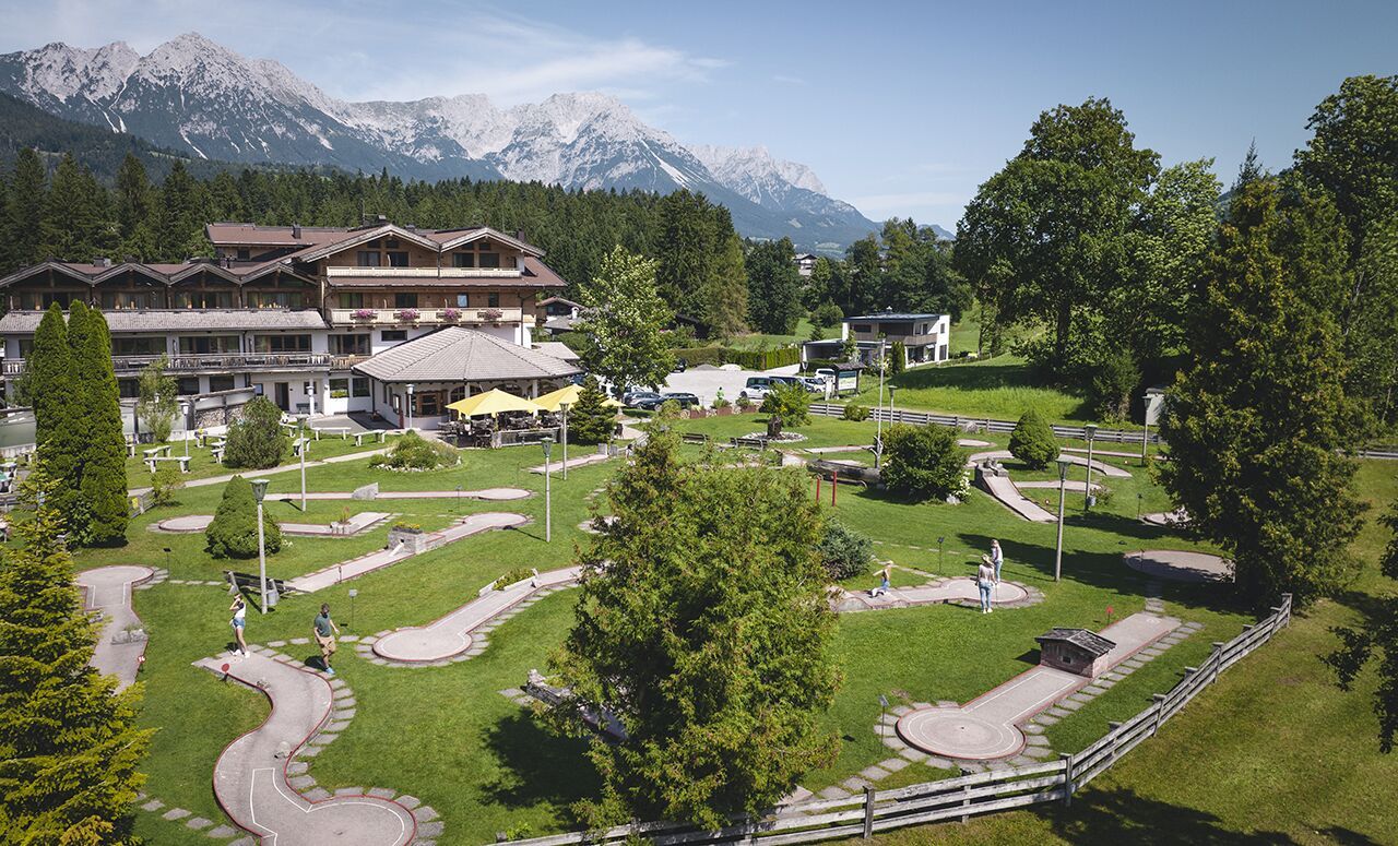
The starting point for this short hike is the Alpenschlössl hiking starting point. From here, follow the signs in the direction of Söll. The asphalted path takes you through Reiter Dörfl and past the Hotel Hochfilzer. Once you reach the Pirchmoos chapel, turn left onto the meadow path. After approx. 400m you pass the Erbhof Oberkollerhof farm and follow the signpost towards Franzlhof. Enjoy the view of the village and the Hohe Salve along the edge of the forest. Slightly downhill, the road takes you past the Franzlhof. At the next crossroads, opposite the music pavilion, turn left again and you have reached the village center

Nearby huts and mountain restaurants

Getting here

  • Parking

    Hiking starting point Alpenschlössl, Söll (762 m) - for free

Weather

Today

light rain showers
18°C/8°C
60%0.8l5 km/h

Sat

clear sky
21°C/6°C
0%0l0 km/h

Sun

mainly clear
23°C/8°C
70%3l0 km/h
Go to weather forecast

More tours in the surrounding area

  • Kaiserkrone - stage 3

    Difficulty:medium
    Length:9.3 kmDuration:4:30 hElevation uphill:840 m
  • 3-day hut tour Wilder Kaiser

    Difficulty:difficult
    Length:24.6 kmDuration:14:00 hElevation uphill:2,060 m
  • Tauernblick panorama circular hiking route

    Difficulty:medium
    Length:13.6 kmDuration:6:00 hElevation uphill:980 m
  • Hochalm hike

    Difficulty:medium
    Length:19.6 kmDuration:7:00 hElevation uphill:1,140 m
  • Hintere Goinger Halt summit tour

    Difficulty:difficult
    Length:9.3 kmDuration:6:30 hElevation uphill:1,090 m
  • Panoramic circuit Brandstadl–Hartkaiser

    Difficulty:easy
    Length:6.0 kmDuration:1:50 hElevation uphill:170 m
  • “Moor & more” Rocky Way

    Difficulty:easy
    Length:8.0 kmDuration:3:00 hElevation uphill:380 m
  • Astberg circular hiking route

    Difficulty:easy
    Length:1.5 kmDuration:0:30 hElevation uphill:80 m
  • Kaiserkrone - stage 1

    Difficulty:medium
    Length:8.0 kmDuration:4:30 hElevation uphill:1,120 m
  • Eagle Walk Stage 02: Gaudeamushütte - Kaindlhütte

    Difficulty:medium
    Length:15.1 kmDuration:6:30 hElevation uphill:888 m
Newsletter

The mountain is calling? So does our newsletter!

In our monthly newsletter we reveal the best holiday tips for Tyrol.