Mountain hikes Argensteig to St. Georgen

closed
Serfaus / Samnaun Group
Difficulty ratings: medium
Route length: 2.1 km
Duration: 1:00 h

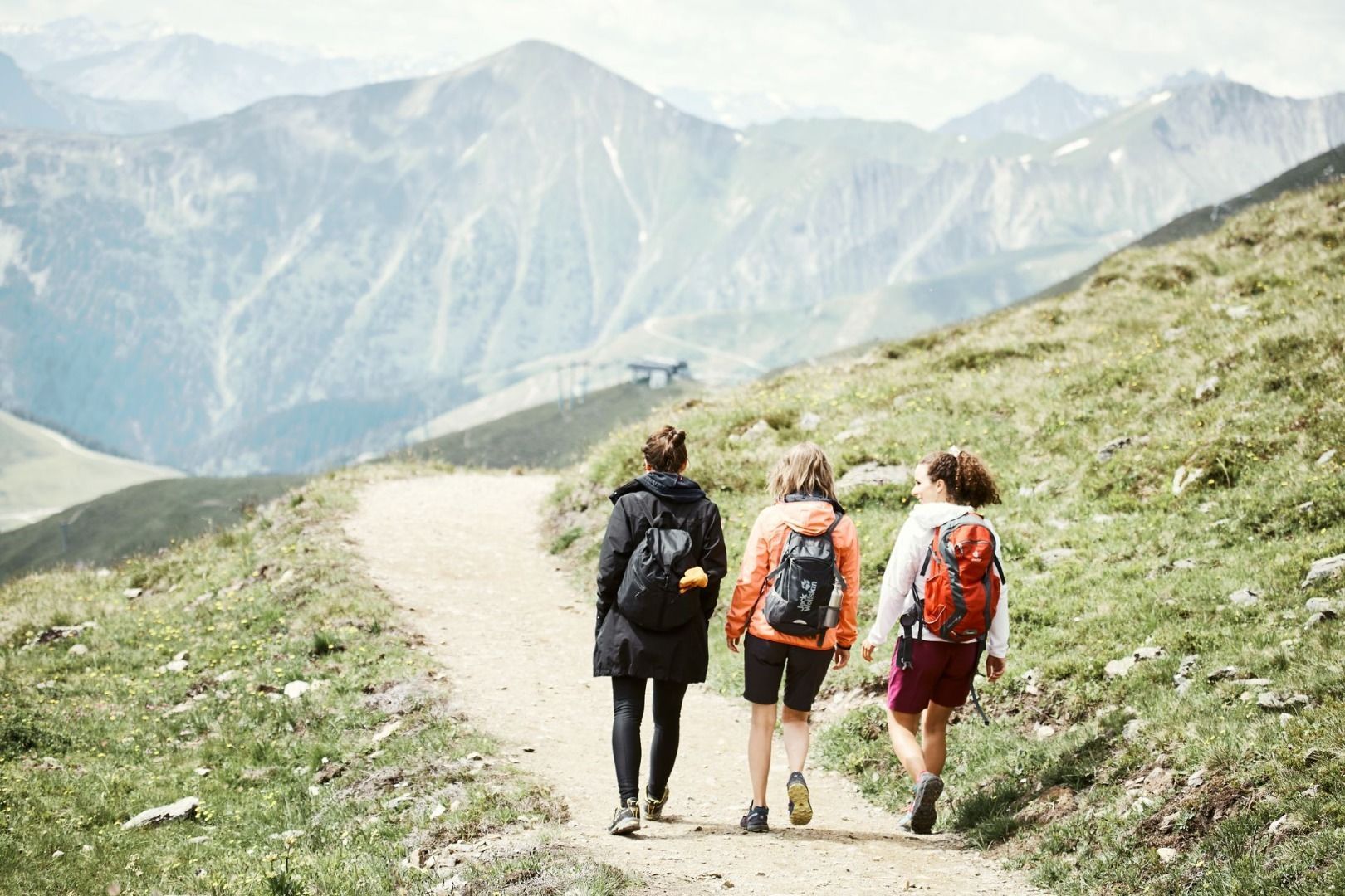
A peaceful hike through the idyllic landscape around Serfaus – perfect for enjoying the alpine nature away from the main trails.
Tour information

  • Requirement: medium
  • Length: 2.1 km
  • Duration: 1:00 h
  • Elevation uphill:49 hm
  • Elevation downhill:356 hm
Highest point1,407 m

Starting point

Hotel Venier (Planquadrat H6)

Finishing point

St. Georgen
  • Fitness level 1 / 6

Best time of year

  • January
  • February
  • March
  • April
  • May
  • June
  • July
  • August
  • September
  • October
  • November
  • December
Source: Serfaus-Fiss-Ladis

Description

The trail begins in front of Hotel Venier, go past Apartments Arga/Arg Top. Pass the old water purification plant at the signpost (S005), the trail leads through the Argenschlucht gorge to the vehicle track (S174). Hike on to St. Georgen (S175).

Getting here

  • Arrival by public transport

    Travel by train to Landeck-Zams railway station. From there, change to bus line 220 towards Serfaus-Fiss-Ladis.

  • Parking

    By car, take the A12 to the Landeck exit, then follow the B171 and L19 towards Serfaus. Serfaus has traffic-calmed streets. Day visitors should park their cars in the car park at the entrance to the village and then take the underground to the starting point of the tour. Guests staying in Serfaus can drive right up to their accommodation.


    Parking is available at the car park at the entrance to Serfaus. From there, you can take the underground railway to the village centre or the starting point of the tour.

Weather

Today

mainly clear
11°C/2°C
5%0l5 km/h

Tue

clear sky
15°C/3°C
5%0l5 km/h

Wed

cloudy
12°C/5°C
50%0.7l5 km/h
Go to weather forecast

More tours in the surrounding area

  • Marmot Trail

    Opening hours:open
    Difficulty:easy
    Length:573 mDuration:0:20 hElevation uphill:12 m
  • Panorama - Genussweg

    Opening hours:open
    Difficulty:easy
    Length:5.1 kmDuration:1:15 hElevation uphill:42 m
  • Wild Animals Trail

    Opening hours:open
    Difficulty:easy
    Length:1.5 kmDuration:0:31 hElevation uphill:1 m
  • Murmeltiersteig (Marmot alpine trail)

    Opening hours:open
    Difficulty:medium
    Length:6.9 kmDuration:3:00 hElevation uphill:302 m
  • Fiss to the Oberen Sattelkopf

    Opening hours:open
    Difficulty:medium
    Length:5.6 kmDuration:3:00 hElevation uphill:1,057 m
  • Forscherpfad

    Opening hours:open
    Difficulty:easy
    Length:3.4 kmDuration:1:30 hElevation uphill:219 m
  • Oberer Spinnsee

    Opening hours:open
    Difficulty:medium
    Length:11.2 kmDuration:5:00 hElevation uphill:427 m
  • Six Senses trail

    Opening hours:open
    Difficulty:easy
    Length:6.5 kmDuration:4:00 hElevation uphill:99 m
Newsletter

The mountain is calling? So does our newsletter!

In our monthly newsletter we reveal the best holiday tips for Tyrol.
