

Opening hours:Open today
Place:Maurach am Achensee
:Alpine pasture / hut / mountain restaurant:Breakfast, vegetarian
A long and challenging mountain hike via Dalfaz Alm and Köglalm to Vorderunnutz, with fantastic views and a long way down to Steinberg.
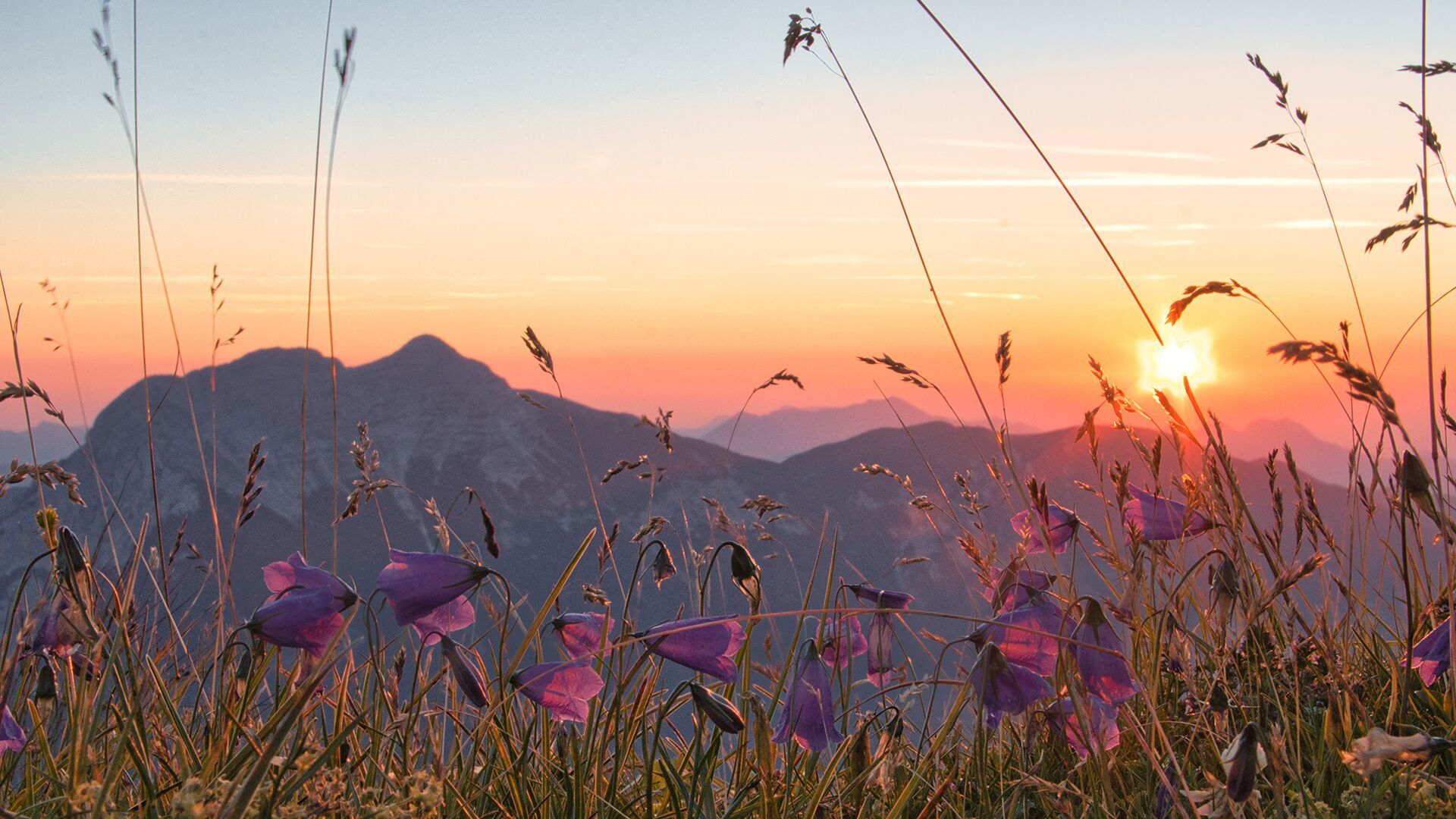
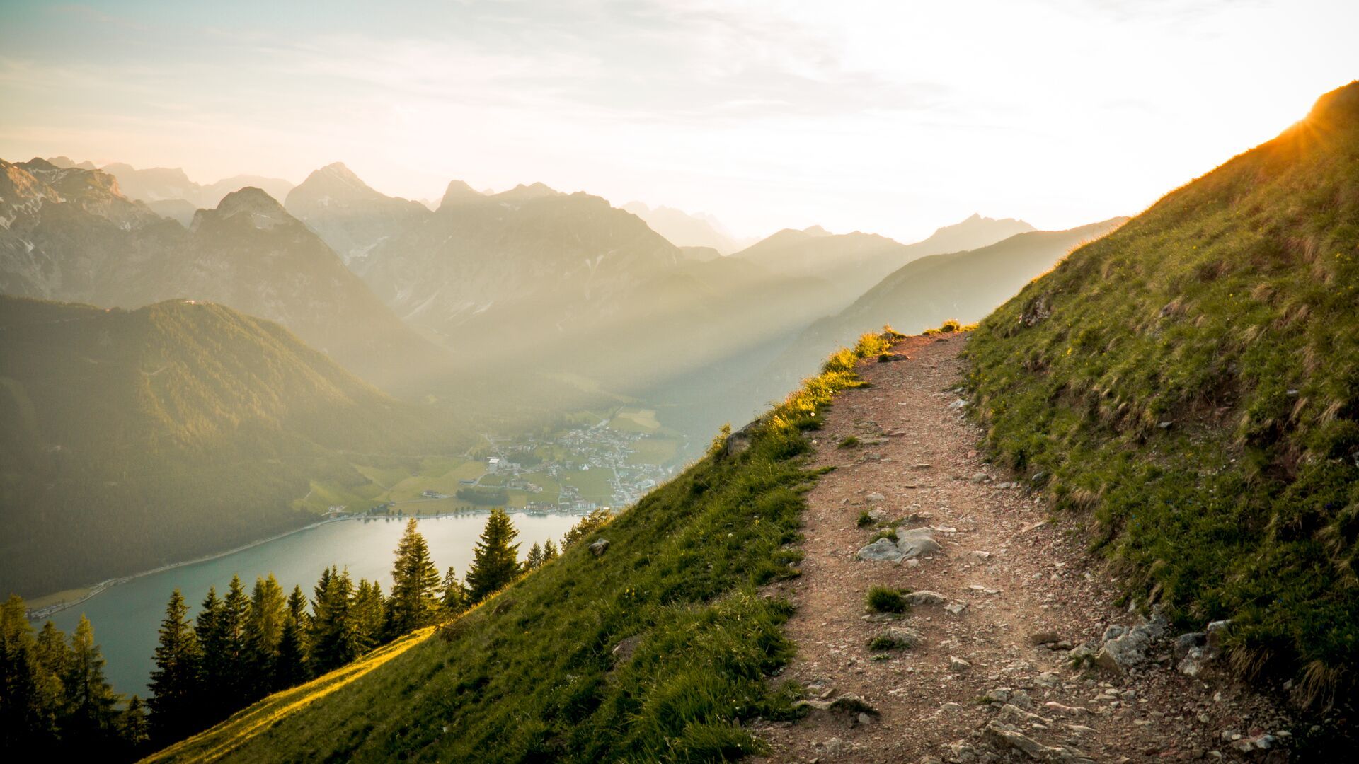
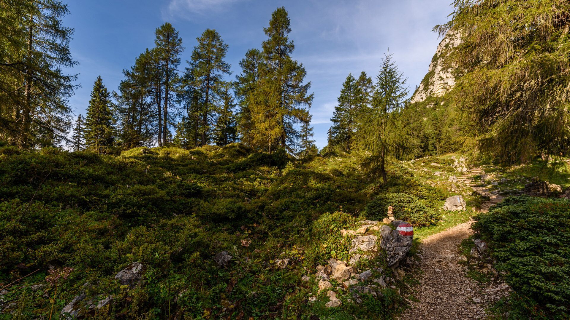
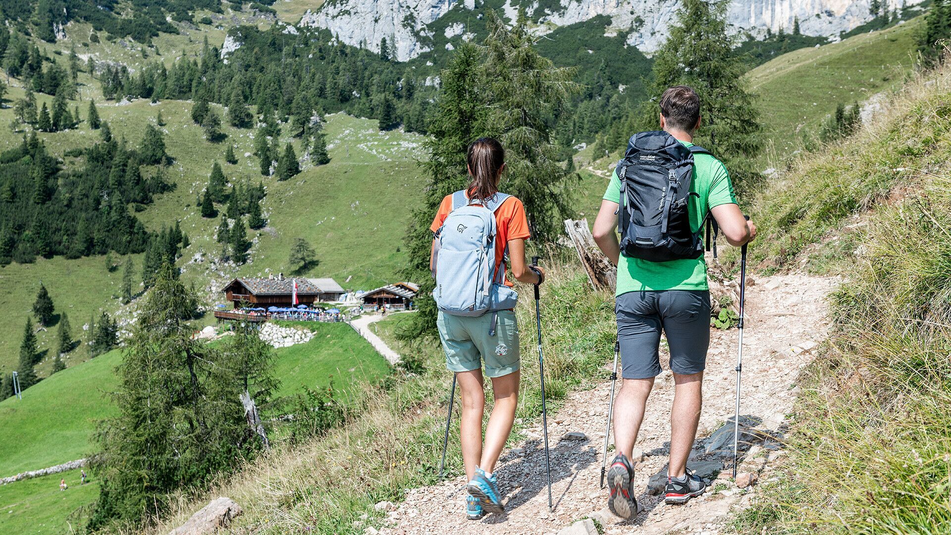
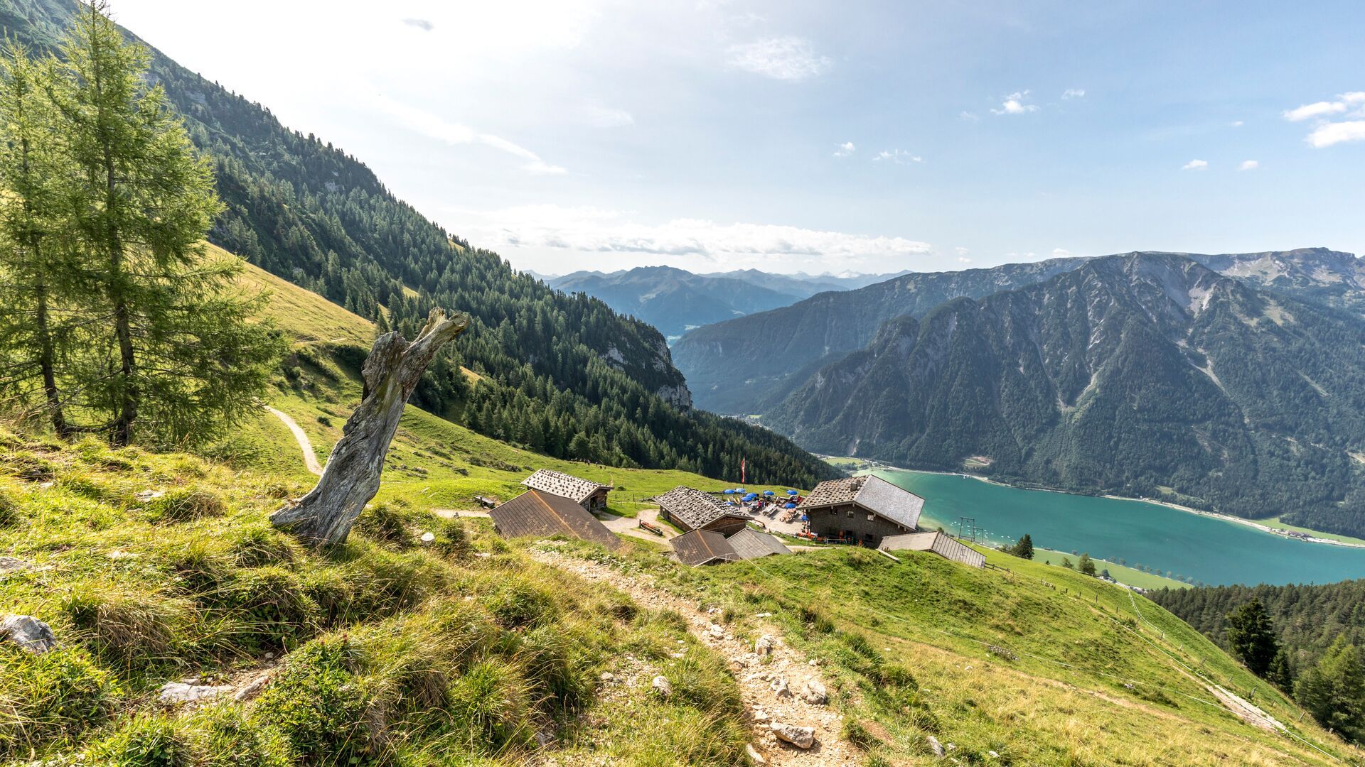
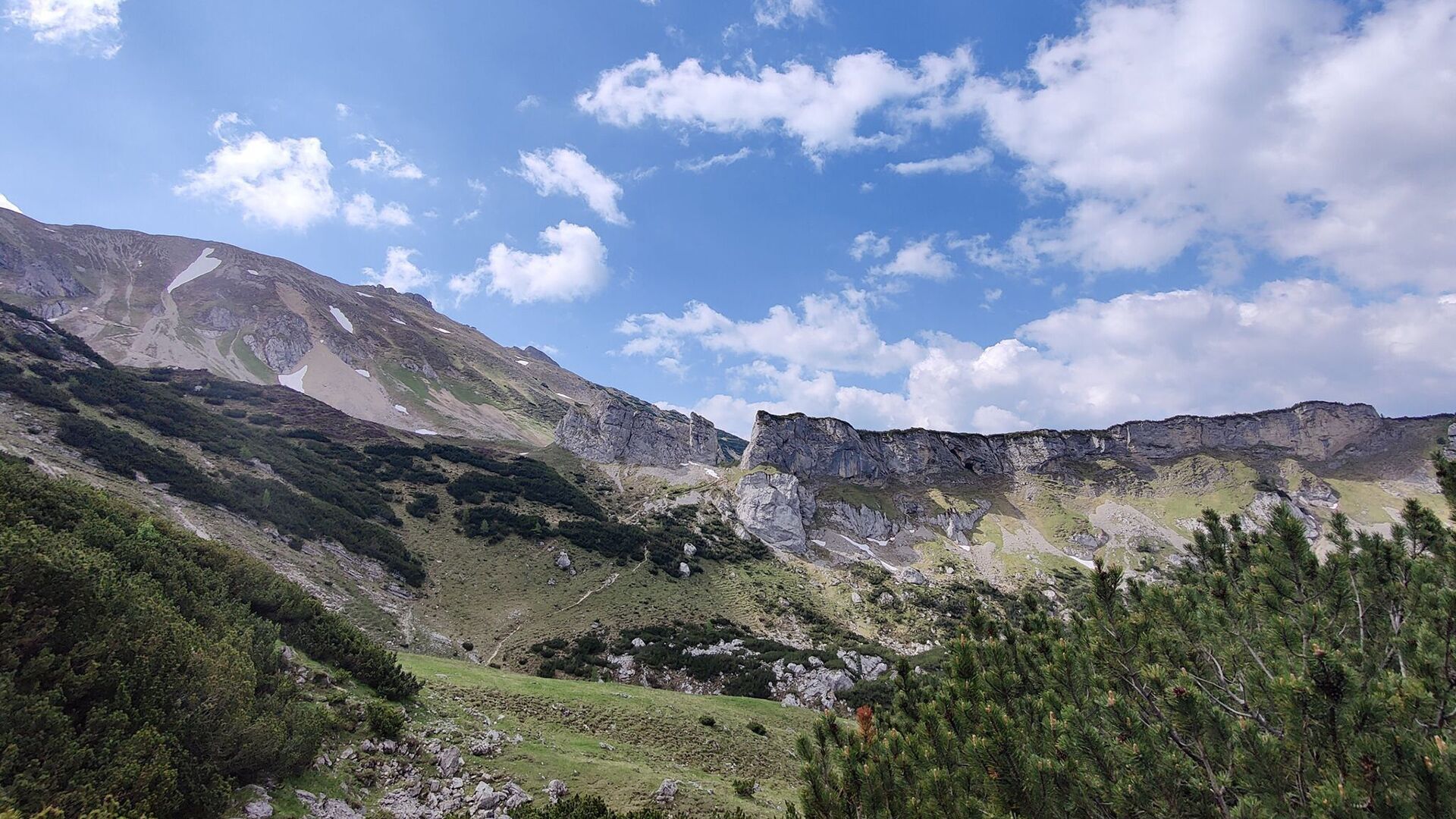
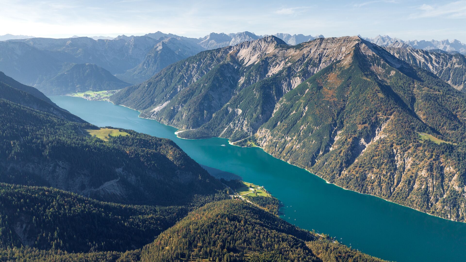
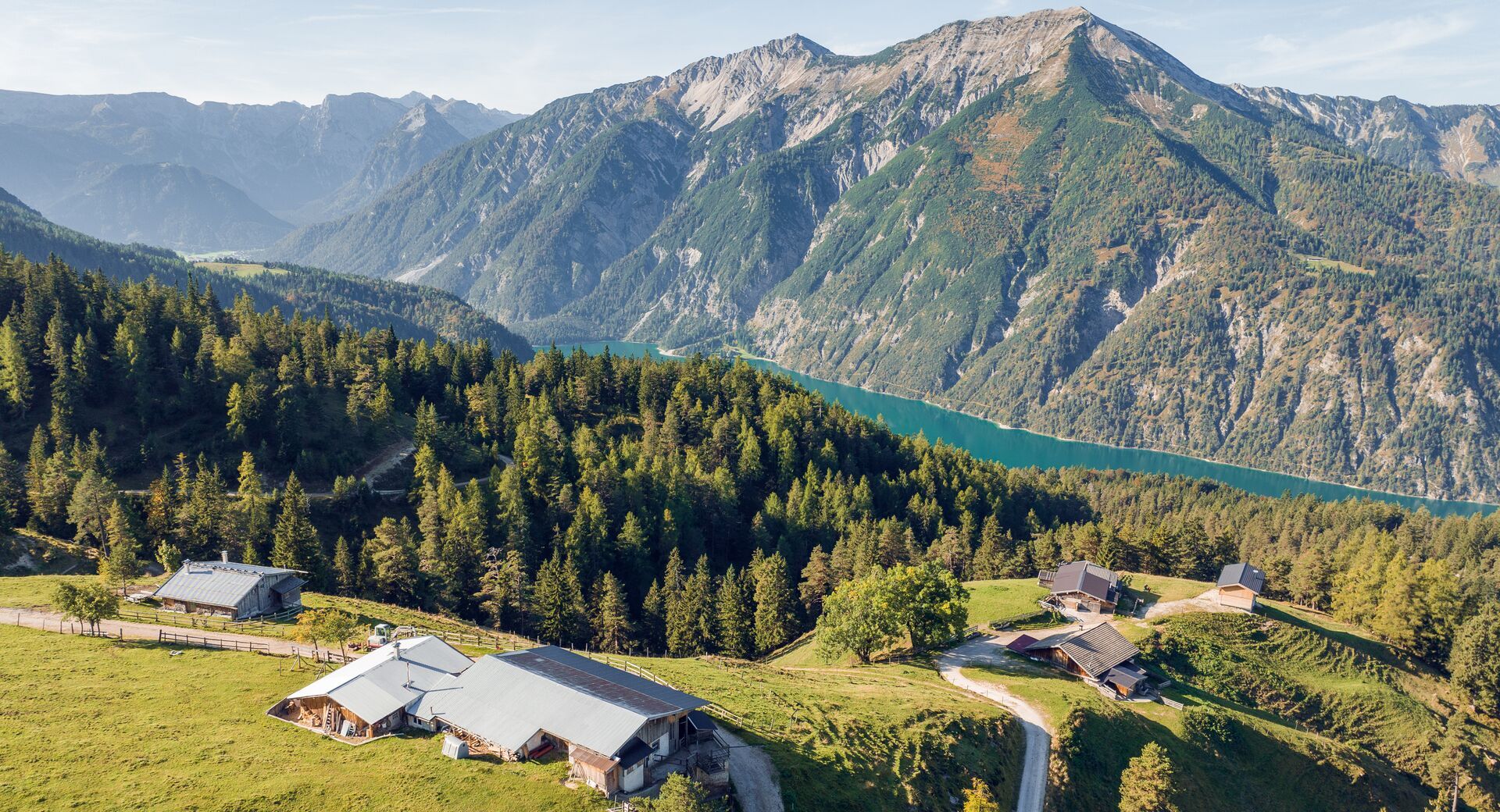
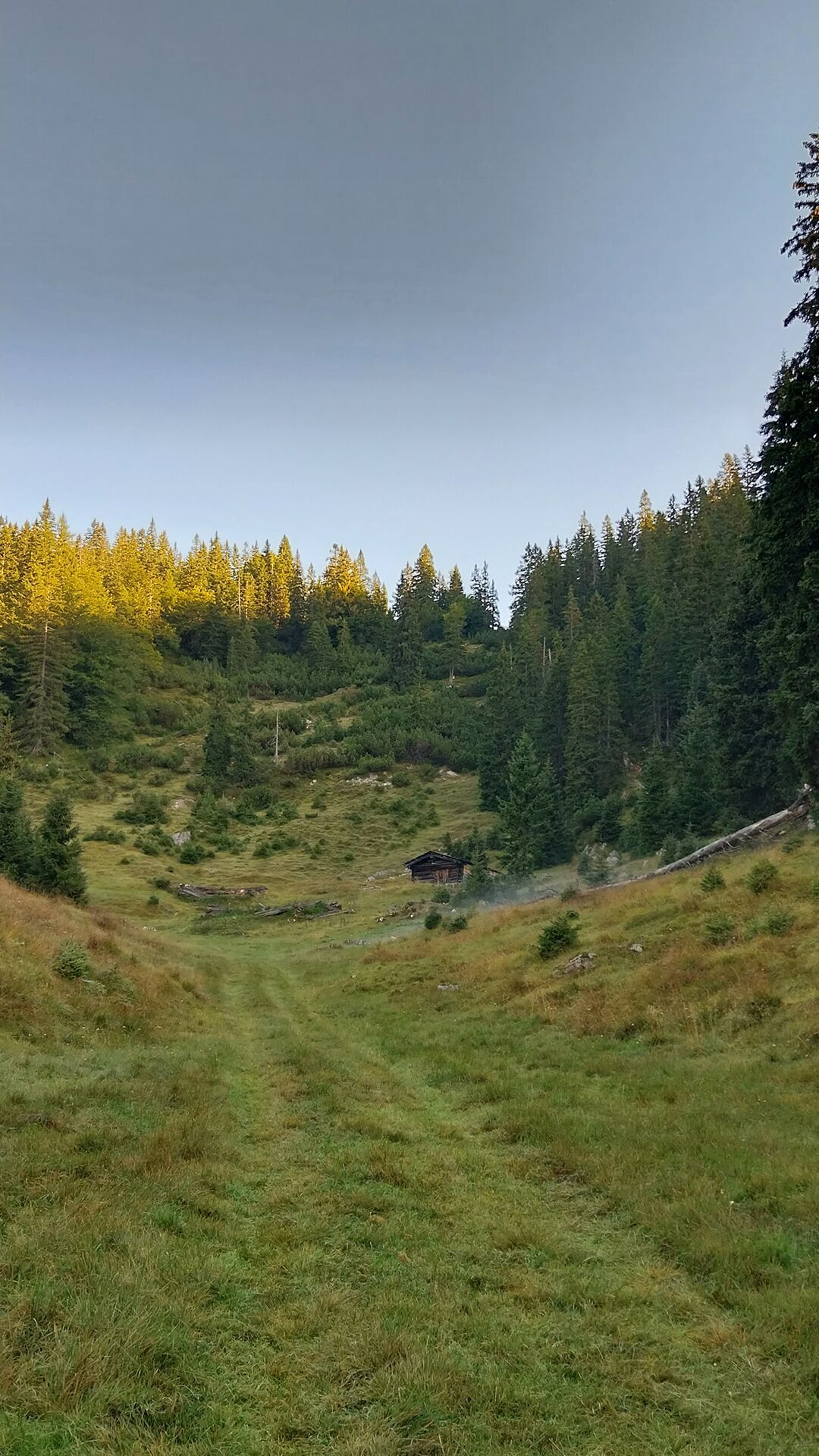
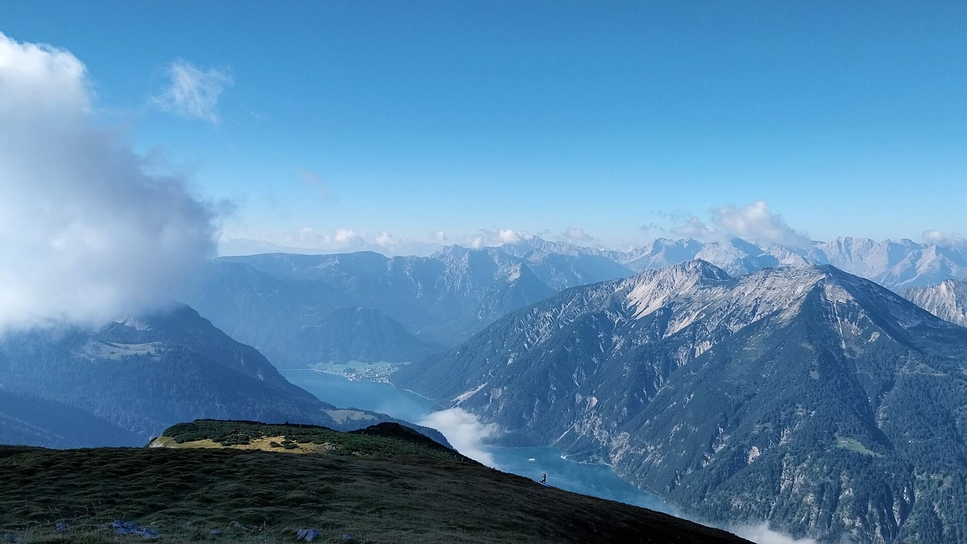
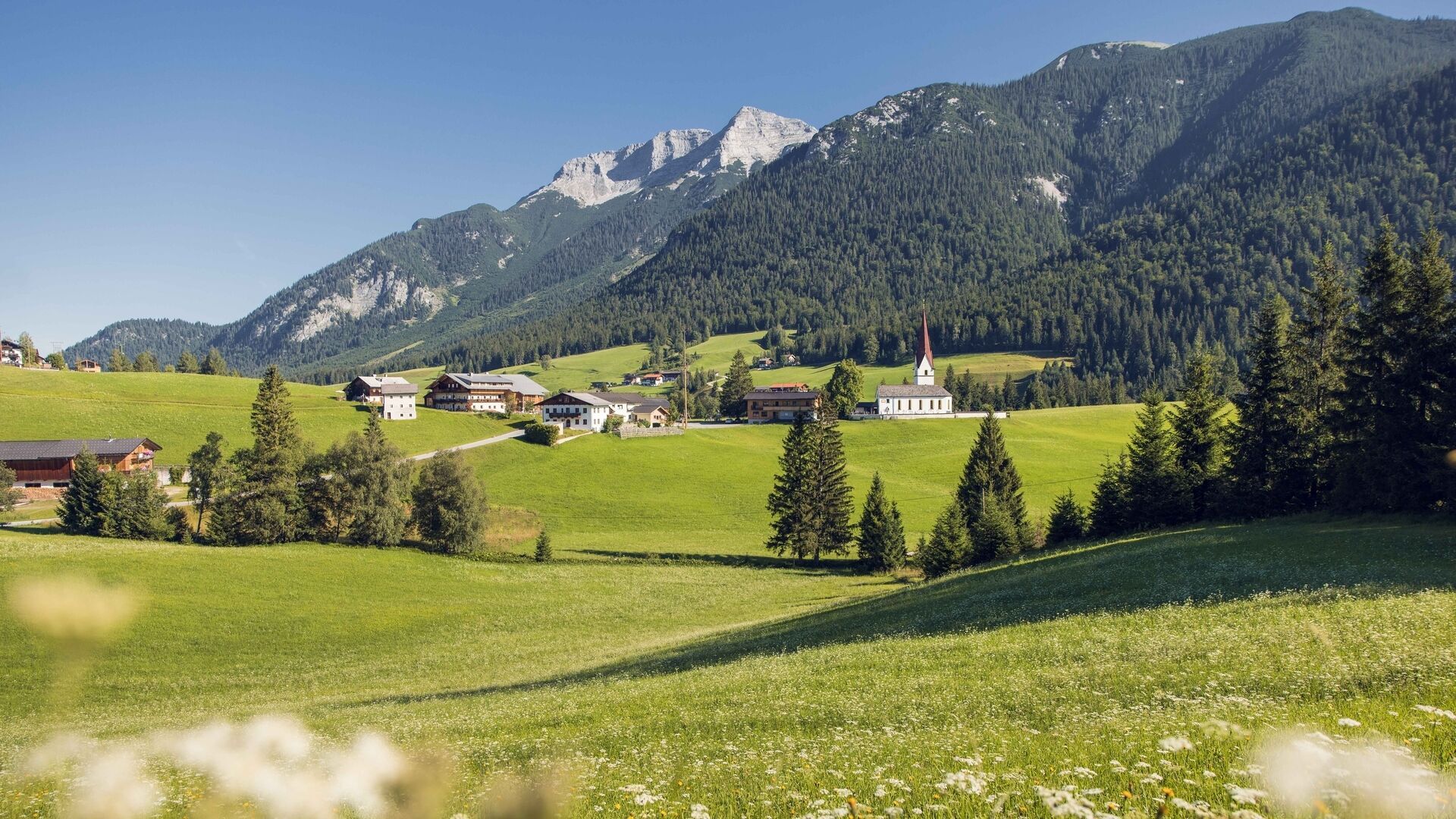
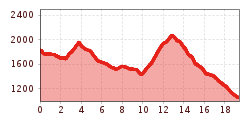
From the top station of the Rofan cable car, keep left and head in a westerly direction. Descend the well-maintained trail past the artificial reservoir and follow the flat section in a westerly direction until you arrive at a sitting bench. Follow the trail as it climbs gradually to the Dalfaz Alm (ca. 1 hour).
From the Dalfaz Alm, follow a path that begins on grass and then becomes rocky as it leads to the Steinernes Tor and on to the Kotalm. Once you arrive at the Kotalm Mitterleger, follow the signs to the Köglalm (serviced). The trail is uneven, crossing several pasture fences along the way (the walk from Dalfaz Alm to Köglalm takes about 3 hours).
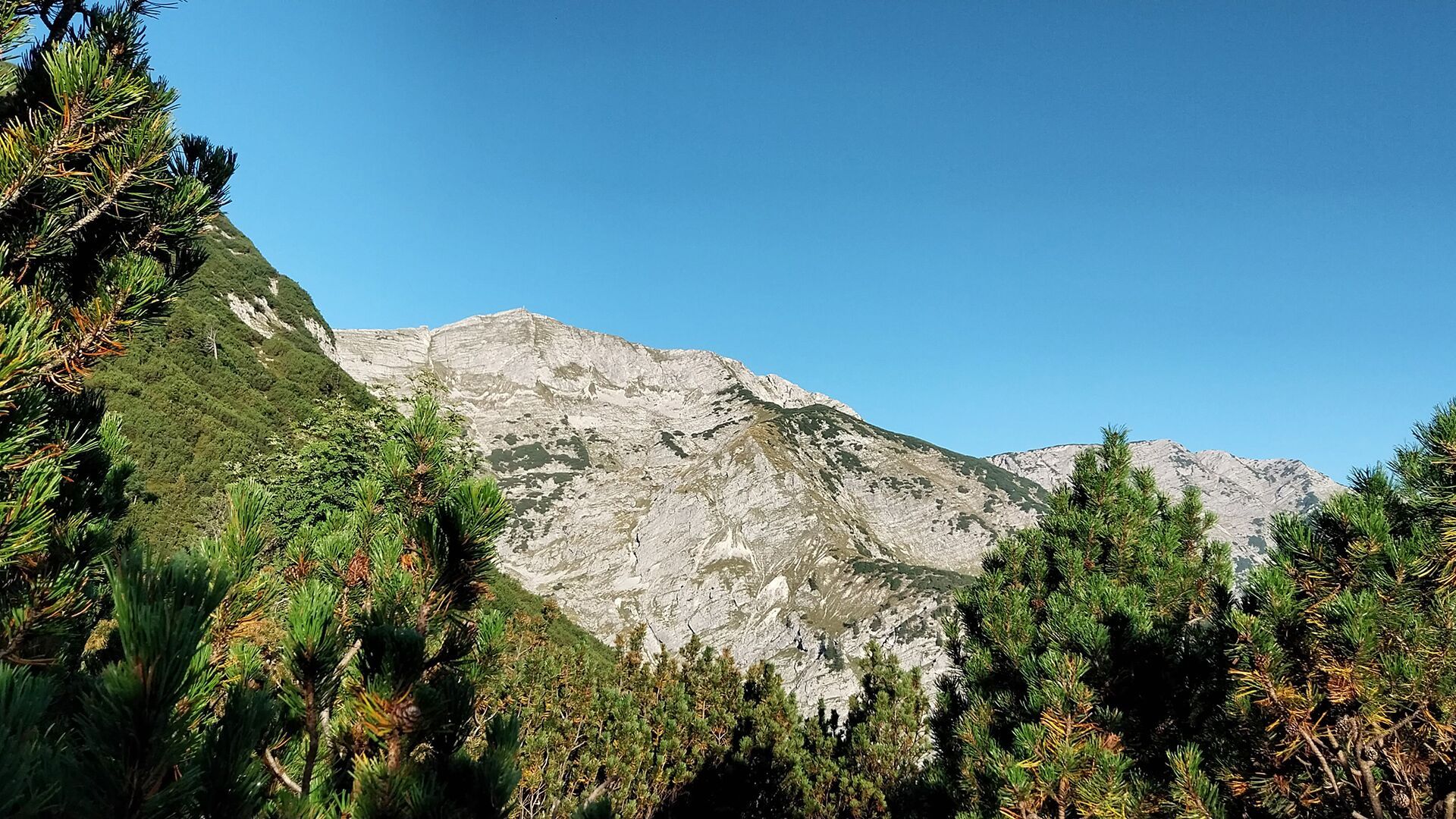
Next, you'll face a challenging 2-hour climb through vast fields of mountain pine, leading to the summit of the Vorderunnutz at 2,078 metres. From the summit, retrace your steps until you reach the junction for Steinberg. The path then descends through meadows and rocky terrain dotted with mountain pines to the Steinberger Kotalm (not serviced). From here, a forest path that begins on grass and then becomes rocky leads down to the Rofanlifte II car park in Steinberg (the descent from the summit to Steinberg takes ca. 2.5 hours). Return to Maurach and the Rofan cable car valley station by regional bus.
Getting there: Take the regional bus (line 8332, 4080 or 390) to Maurach and get off at the “Maurach a. A. Rofan Seilbahn” bus stop.
Return journey: From the “Steinberg am Rofan Rofanlifte II” bus stop, take the regional bus towards Achenkirch. Change at “Achenkirch Abzw Steinberg a. R.” and continue to “Maurach a. A. Rofan Seilbahn”.
Important: Check the bus times for the return journey from Steinberg in advance, as there are only limited connections, especially in the late afternoon.
Current bus connections and timetables are available at www.vvt.at.
Rofan Seilbahn car park 1 or 2 (paid parking; Rofan cable car passengers receive a refund at the ticket office).


