Mountain hikes Birgitzer Alm - Birgitzköpfl

Axams / Stubai Alps
Difficulty ratings: medium
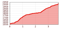
Route length: 3.8 km
Duration: 3:00 h

Birgitzer Alm - Birgitzköpfl

Tour information

  • Requirement: medium
  • Length: 3.8 km
  • Duration: 3:00 h
  • Elevation uphill:512 hm
  • Elevation downhill:0 hm
Highest point2,021 m

Starting point

Axamer Lizum

Finishing point

Birgitzköpflhaus

Best time of year

  • January
  • February
  • March
  • April
  • May
  • June
  • July
  • August
  • September
  • October
  • November
  • December

Trail condition

forest trail, meadow trail, forest road
Source: Innsbruck Tourismus

Description

Attractive mountain tour in the Axamer Lizum.
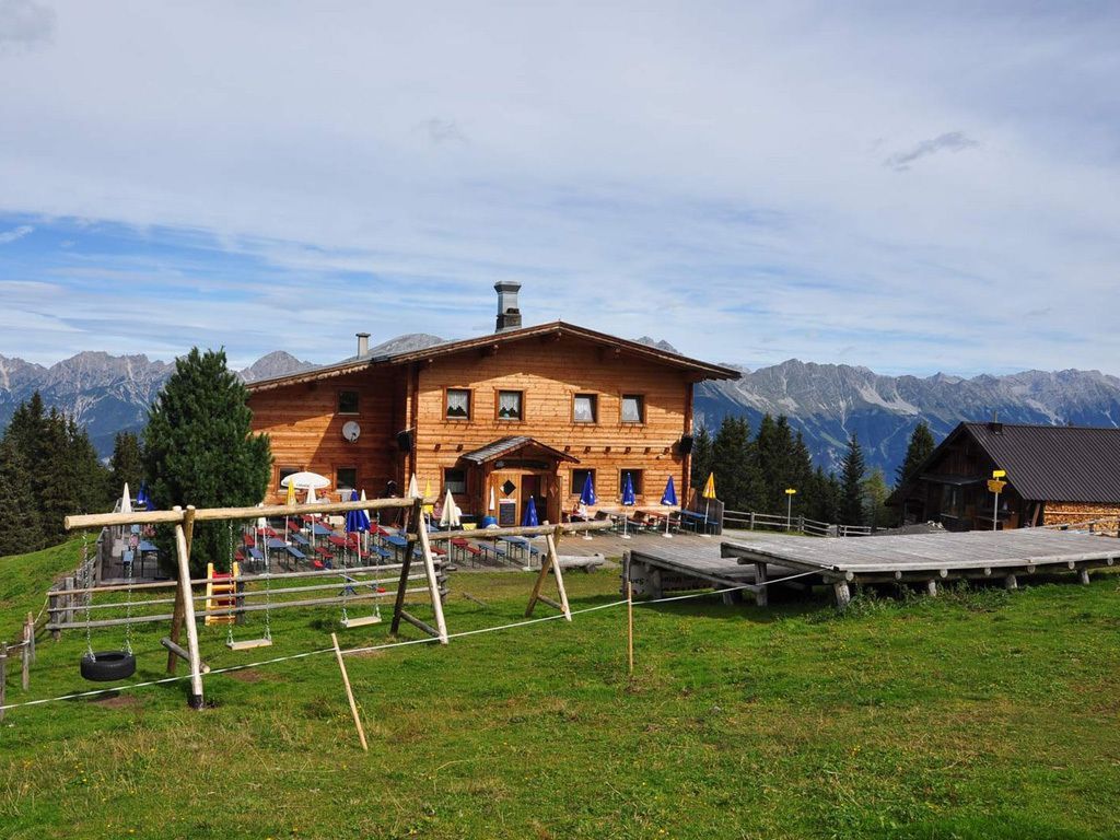
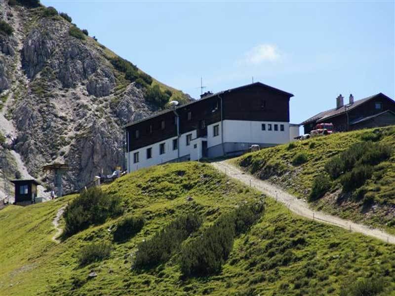
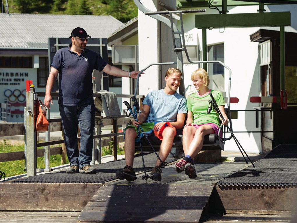
Start from the Axamer Lizum car park (1,583m) > past the Birgitzköpfllift valley station > always follow the signs at the edge of the forest in the direction of the Birgitzeralm > Butterbründlsteig > through the forest, always slightly uphill to the Birgitzer Alm (1. 808m) > head south uphill to the Birgitzköpfl mountain cross and continue to the Birgitzköpfllift mountain station (2,098m) > return to the valley either with the Birgitzköpfllift or on foot in steep serpentines along the piste on the Pötschachsteig.

Nearby huts and mountain restaurants

Getting here

  • Arrival by public transport

    Bus 404 - stop Terminal Kögele Axams - here change to
    Bus 411 - stop Terminal Kögele Axams/Axamer Lizum - only from June to September

Weather

Today

light rain showers
18°C/6°C
70%5.1l5 km/h

Fri

clear sky
18°C/5°C
0%0l5 km/h

Sat

clear sky
21°C/4°C
0%0l5 km/h
Go to weather forecast

More tours in the surrounding area

Newsletter

The mountain is calling? So does our newsletter!

In our monthly newsletter we reveal the best holiday tips for Tyrol.