Mountain hikes Camping Schlossbergweg

Itter / Kitzbühel Alps
Difficulty ratings: easy
Route length: 1.0 km

Discover a leisurely walk between Schlossberg Camping and Itterer Dofplatz – perfect for a short break in the woods, or as a link for

Tour information

  • Requirement: easy
  • Length: 1.0 km
  • Elevation uphill:0 hm
  • Elevation downhill:124 hm
Highest point702 m
  • Fitness level 1 / 6
  • Technique 1 / 6

Best time of year

  • January
  • February
  • March
  • April
  • May
  • June
  • July
  • August
  • September
  • October
  • November
  • December

Trail condition

Forest trail

Equipment

Outdoor clothing, sturdy shoes
Source: Kitzbüheler Alpen Management GmbH

Description

The starting point can be either the Dofplatz in Itter or Gries (a hamlet of Hopfgarten). In both directions, follow trail no. 72, the route of the old toboggan run, through the forest.
In Itter you can continue on to other hikes.

Getting here

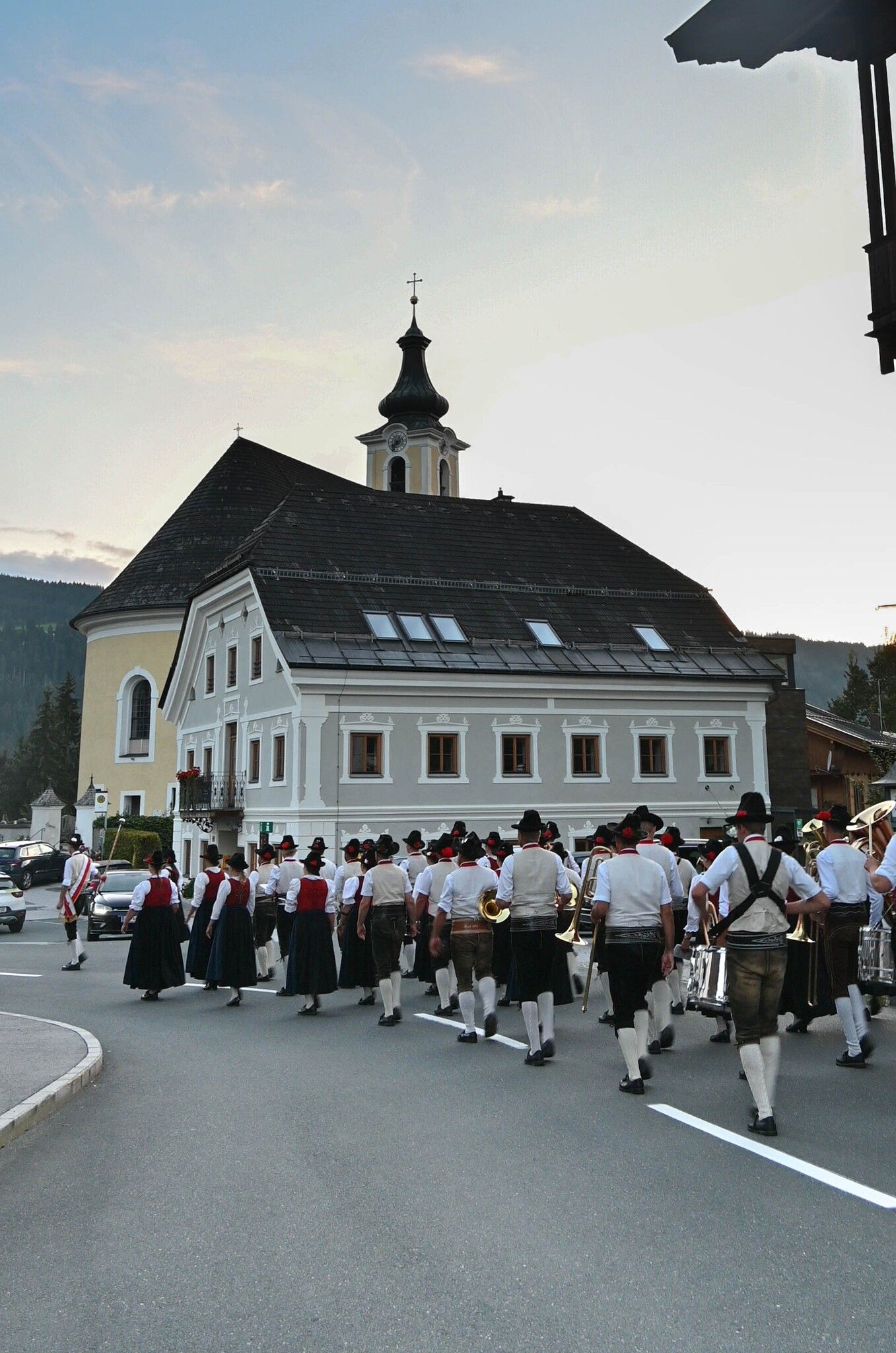
  • Arrival by public transport

    Bus: Bus stop Itter Dorf or Weiler Gries
    Train: Hopfgarten Berglift train station 


    Guest card of the region = train ticket from Kirchbichl to Hochfilzen + bus ticket from Mariastein to Kitzbühel included! 
    Valid on ÖBB local trains (S, REX) and InterRegio trains (IR) between Kirchbichl - Wörgl and Hochfilzen.
    Not valid on RJ, RJX, EC, IC, ICE, D and NJ/EN trains.


    More detailed information: www.hohe-salve.com/mobility
    https://www.kitzbueheler-alpen.com/en/hosa/mobil.html

More tours in the surrounding area

  • Auenweg Niederau

    Difficulty:easy
    Length:1.0 kmDuration:0:30 hElevation uphill:31 m
  • Schafsiedel

    Difficulty:medium
    Length:15.6 kmDuration:6:45 hElevation uphill:1,280 m
  • KAT WALK FAMILY

    Difficulty:medium
    Length:52.5 kmElevation uphill:3,390 m
  • KAT WALK COMPACT

    Difficulty:medium
    Length:83.0 kmDuration:36:45 hElevation uphill:5,462 m
  • 1st stage KAT Walk Kompakt

    Difficulty:medium
    Length:14.2 kmDuration:7:15 hElevation uphill:1,212 m
  • 2nd stage KAT Walk Alpine

    Difficulty:medium
    Length:18.0 kmDuration:8:00 hElevation uphill:1,140 m
  • 1st stage KAT Walk Alpine

    Difficulty:medium
    Length:20.0 kmDuration:6:00 hElevation uphill:800 m
  • KAT WALK ALPINE

    Difficulty:medium
    Length:113.0 kmDuration:45:00 hElevation uphill:6,300 m
Newsletter

The mountain is calling? So does our newsletter!

In our monthly newsletter we reveal the best holiday tips for Tyrol.