
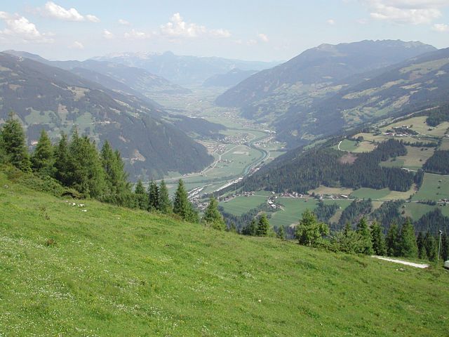
Difficulty:difficult
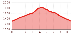
Length:7.8 kmDuration:4:45 hElevation uphill:844 m
Circular hike: Alpine pasture hike Gerlosstein (Rundwanderweg)
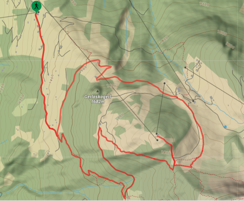
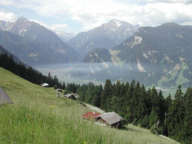
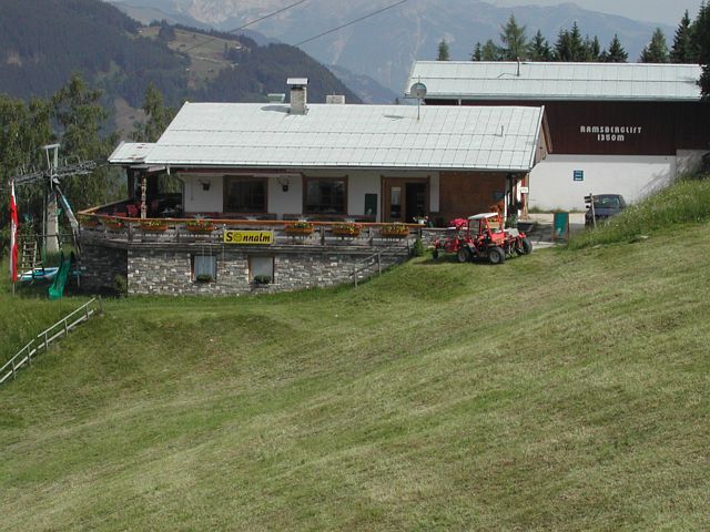
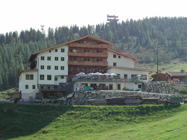
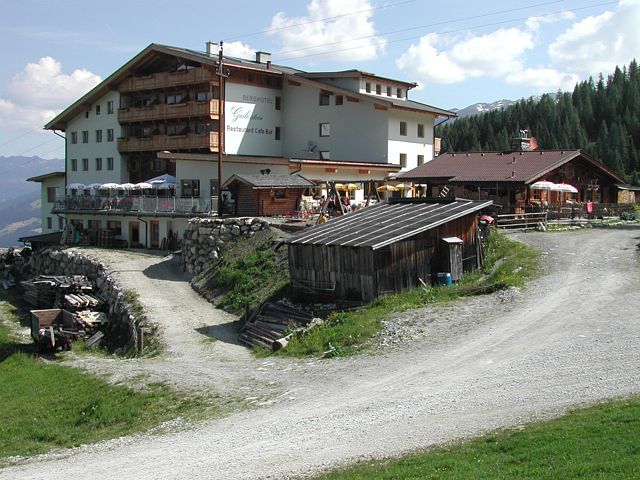
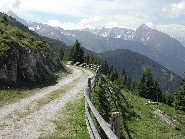
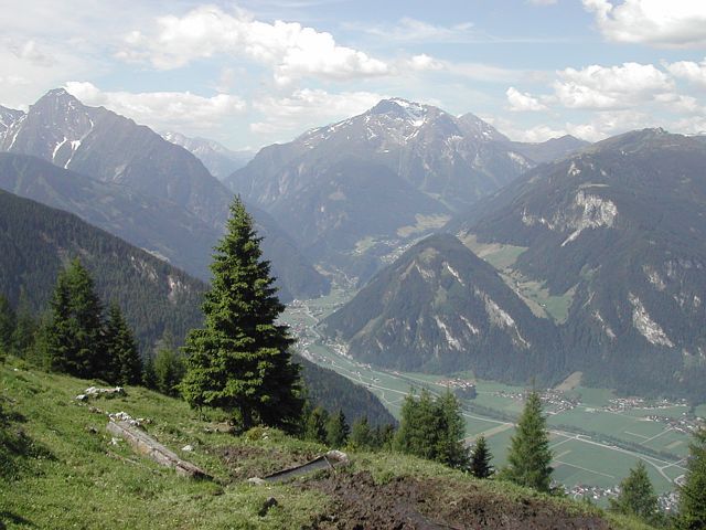
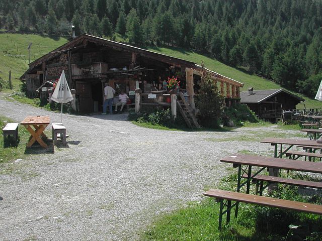
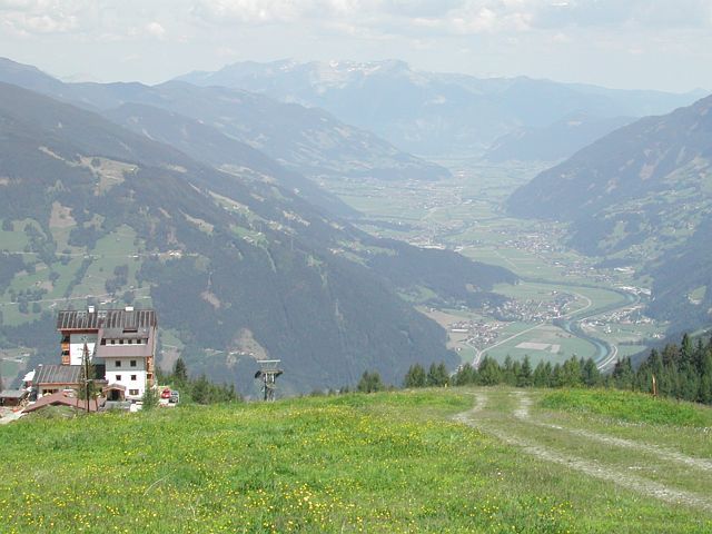
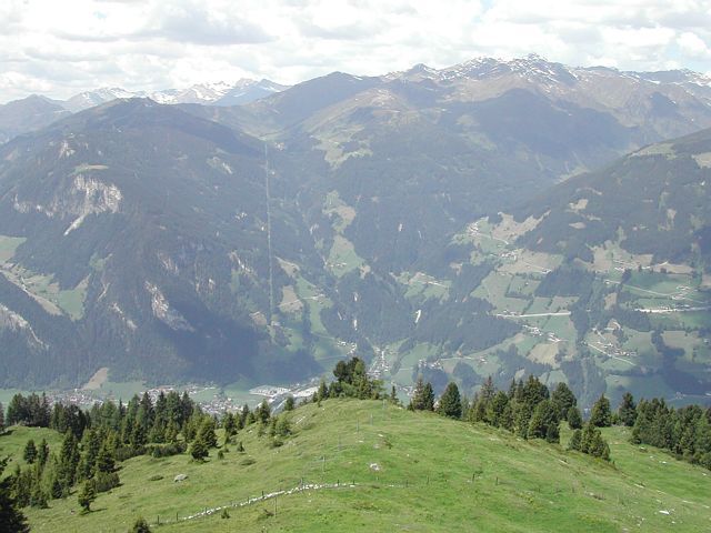
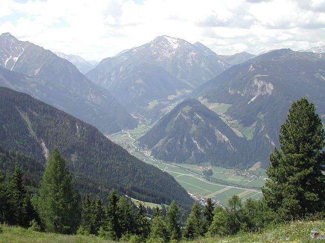
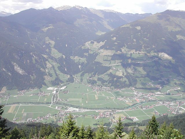
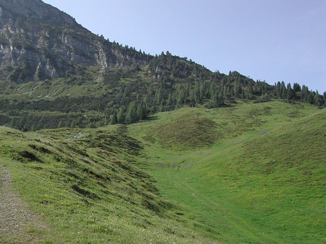
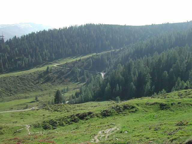
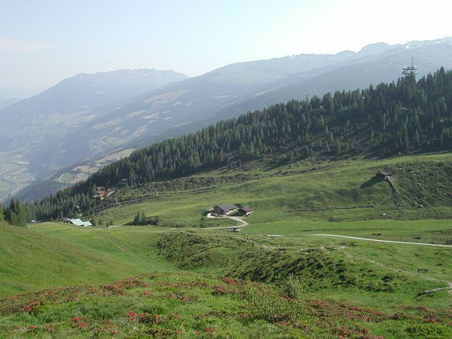
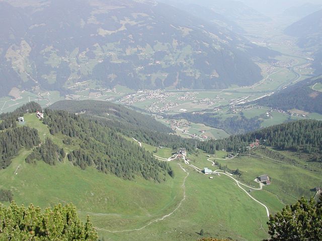
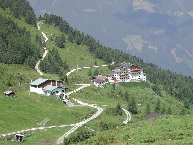
Sonnalm (1300m) – to the summit of cable car Gerlosstein (1650m). – then Kotahornalm (1624m) – back to Sonnalm
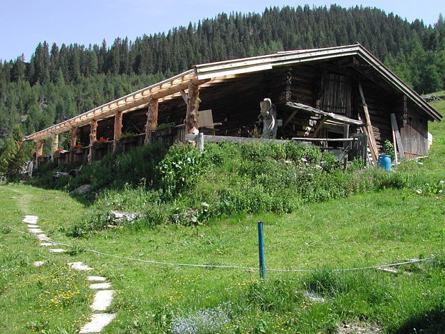
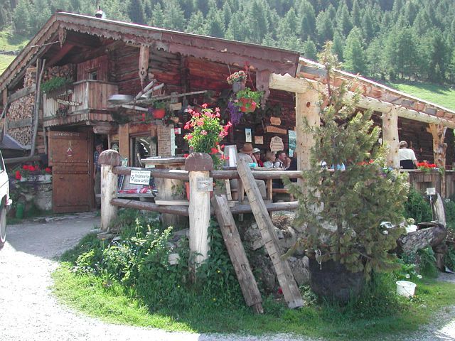
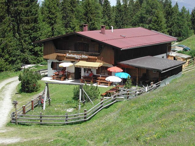
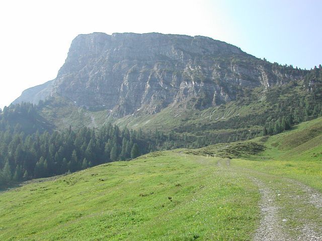
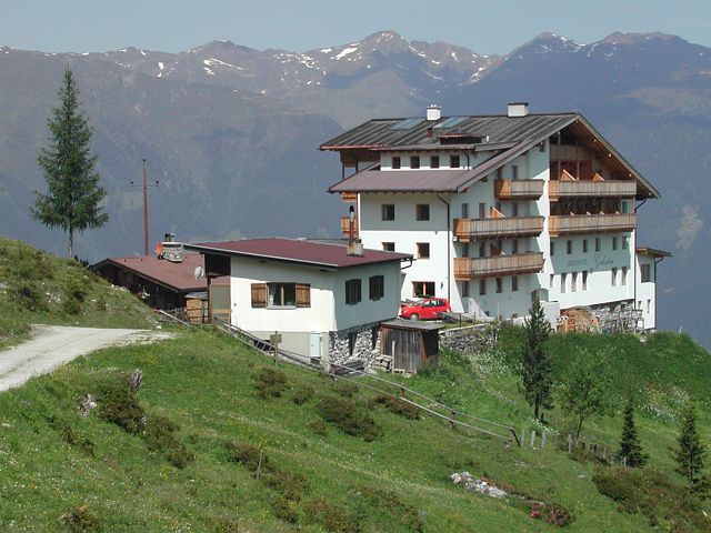
Starting point of the tour is Sonnalm (1300m). From there you walk to the Berggasthaus Gerlosstein (1650m). At the summit of the cable car Gerlosstein you can find the sign to the Kotahorn-Alm (1650m). Walk up the trail direction to Arbiskögerl, then you come to the trail which goes to the Kotahorn-Alm.
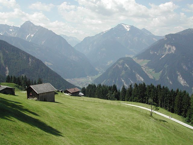
Below the hut you can find the signs back to Sonnalm. Path no. 50.


.jpg")


.jpg")


