
Arrival by public transport
Take the bus to Leutasch and get off at the "Leutasch Ahrn" bus stop. From there, it’s a 5-minute walk to the starting point at the P6 Hoher Sattel parking lot.
All real-time connections can be found in the route planner.


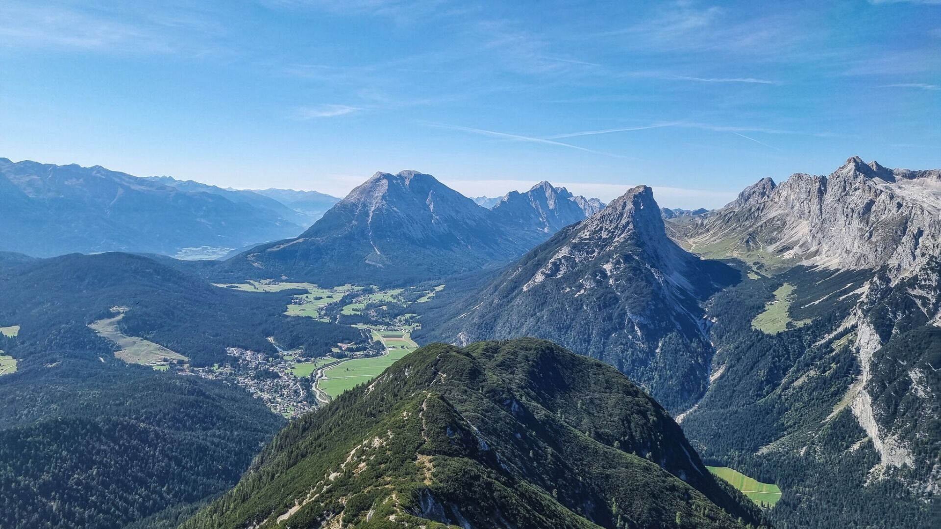
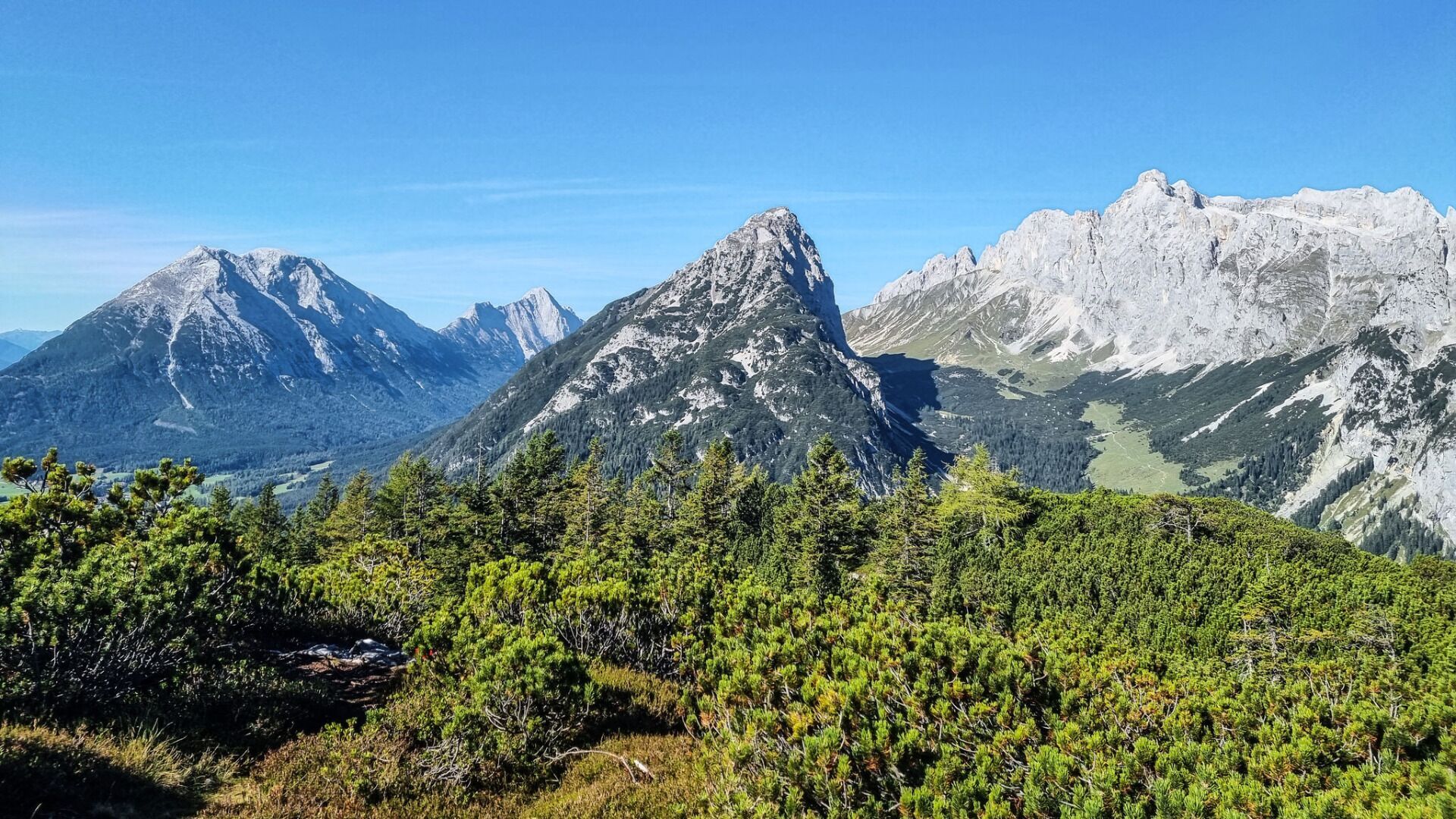
.jpg")


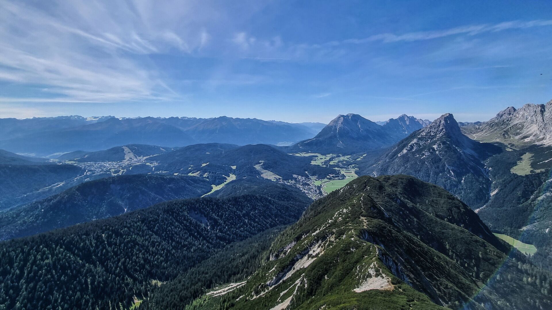
.jpg")


