
Opening hours:Today closed
Place:Reith bei Seefeld
:Restaurant
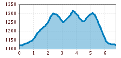
Easy circular hike from Reith along the Panoramaweg, offering impressive views into the Hölltal and over the Inn Valley from the Kaiserstand.
Forest roads, woodland paths, aspahlt road and gravel trails.
All current information about the trail closures in the Region Seefeld can be found here.
Have you been out and about in the Region and discovered a spot that we should rework or repair? Fill out the form "Report a danger zone" and let us know where work is needed.
Comfortable footwear, weather-appropriate clothing, a light backpack, enough water, and a small snack are recommended for this hike.
Additionally, a hiking map or GPS, a first aid kit, sun protection, and hiking poles, if needed, are also advisable.
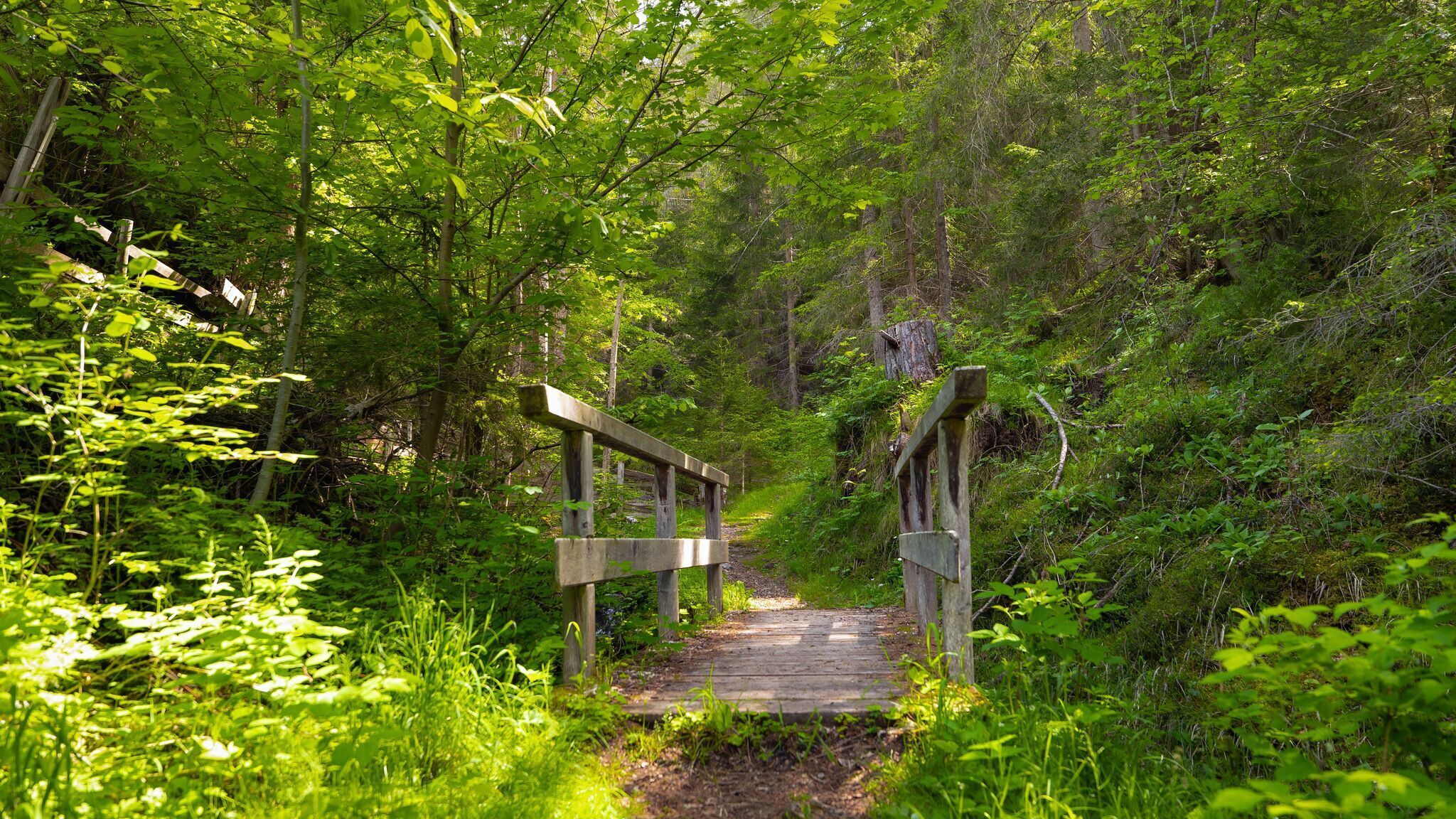
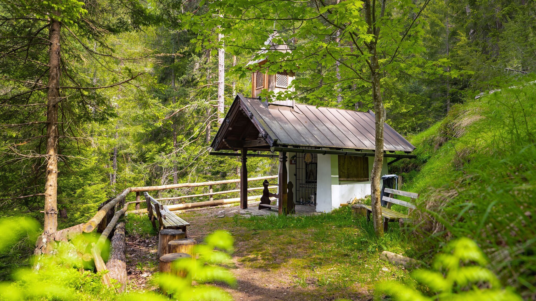
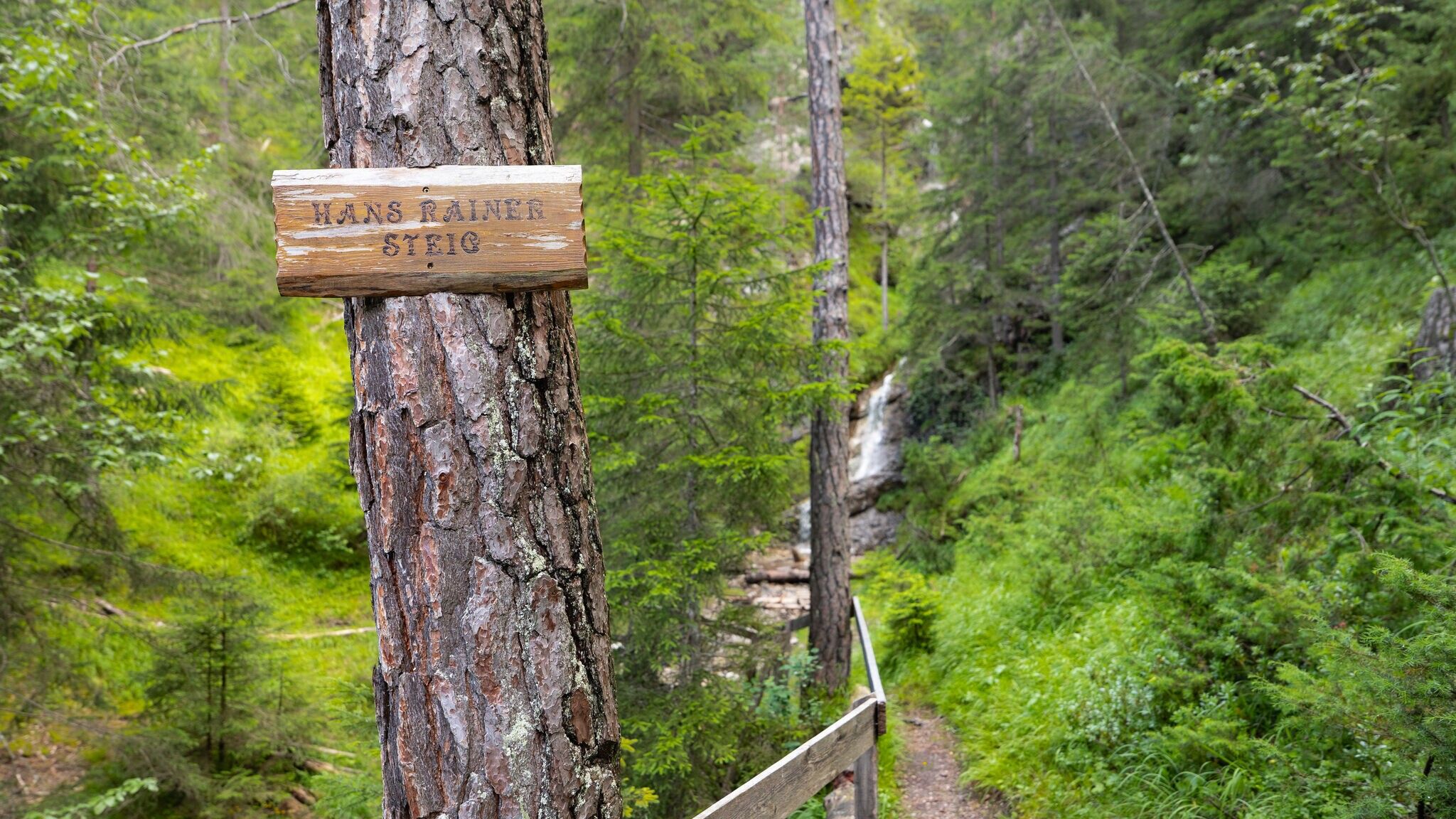
The hike starts at Reith train station and follows the railway line at first. The path gently winds through the landscape until it reaches the turnoff to Nördlinger Hütte. Here, the trail branches off to the right, leading onto the Panorama Trail.
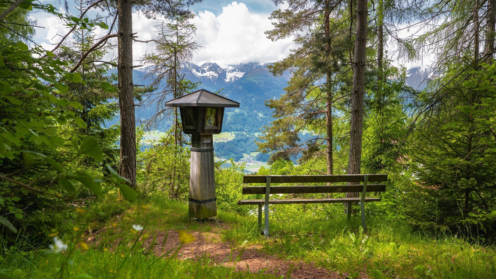
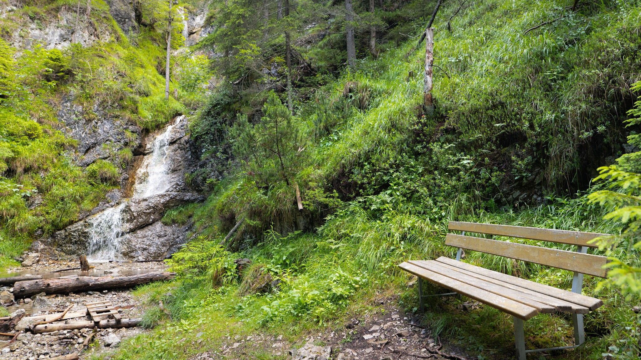
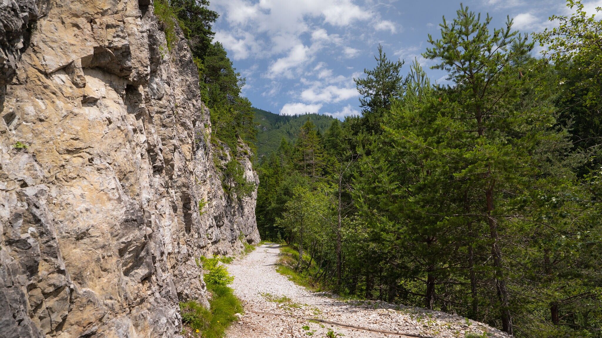
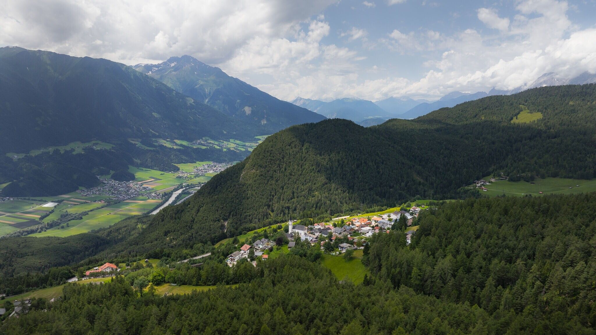
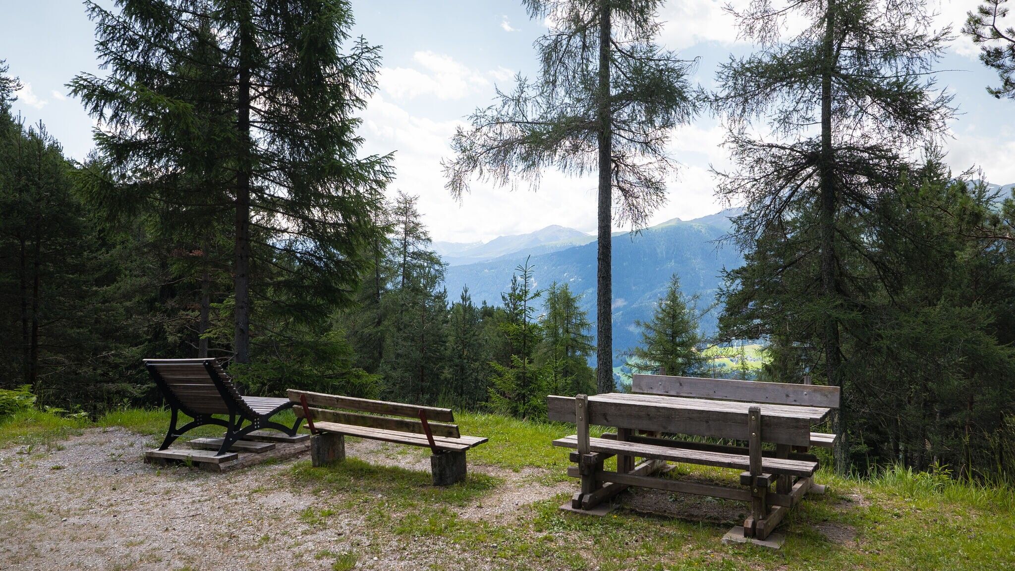
Above Reith, a wide view of Hölltal opens up. The path meanders through small forest sections and along steep rock faces, offering stunning views into the valley along the way. Eventually, the route reaches the Kaiserstand, a scenic viewpoint with an impressive panorama over the Inn Valley and the surrounding mountains.
There are several options for the way back:
Take the public transport to Reith Railway Station.
All real-time connections can be found in the route planner.


.jpg")

.jpg")
.jpg")
.jpg")


.jpg")
.jpg")
.jpg")
 Olympiaregion Seefeld")


