
Opening hours:Open today
Place:Reith bei Seefeld
:Restaurant
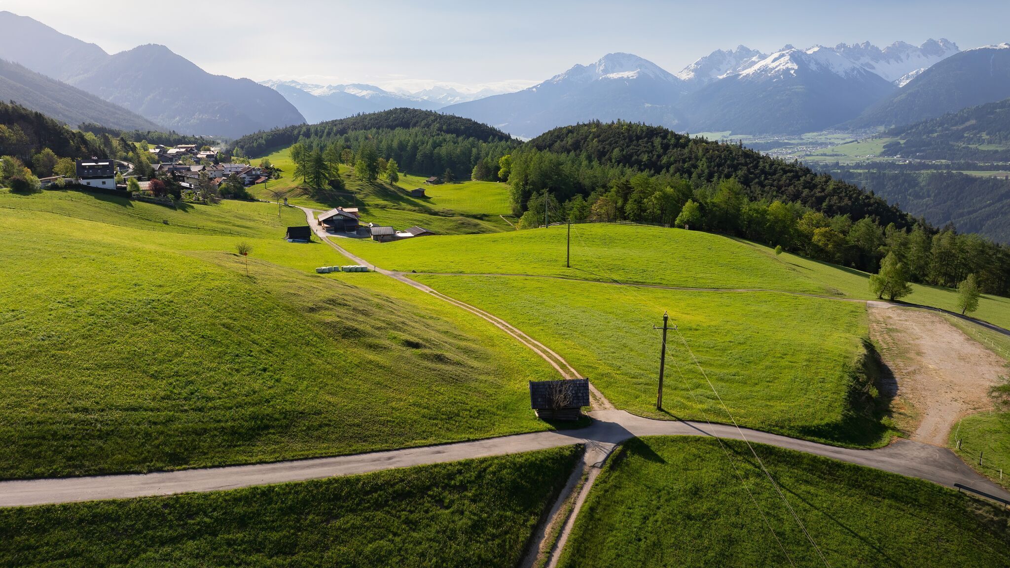
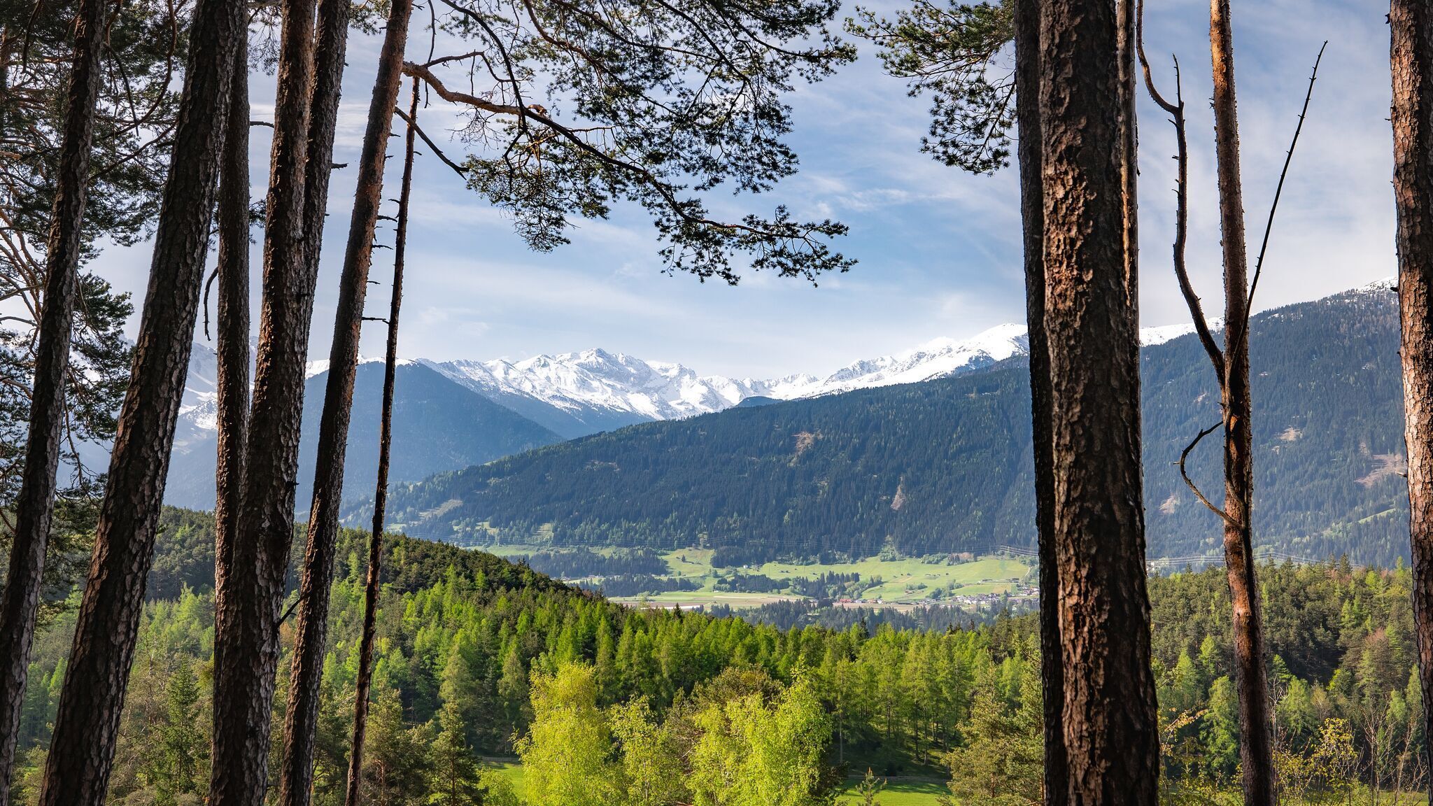
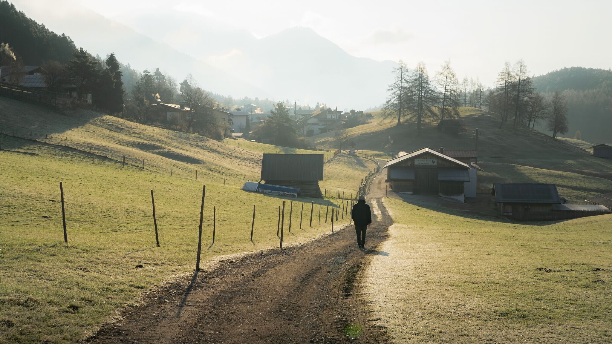
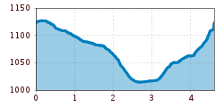
Easy circular hike from Reith along the Wiesenweg, offering picturesque views of the Inn Valley and the surrounding mountain landscape.
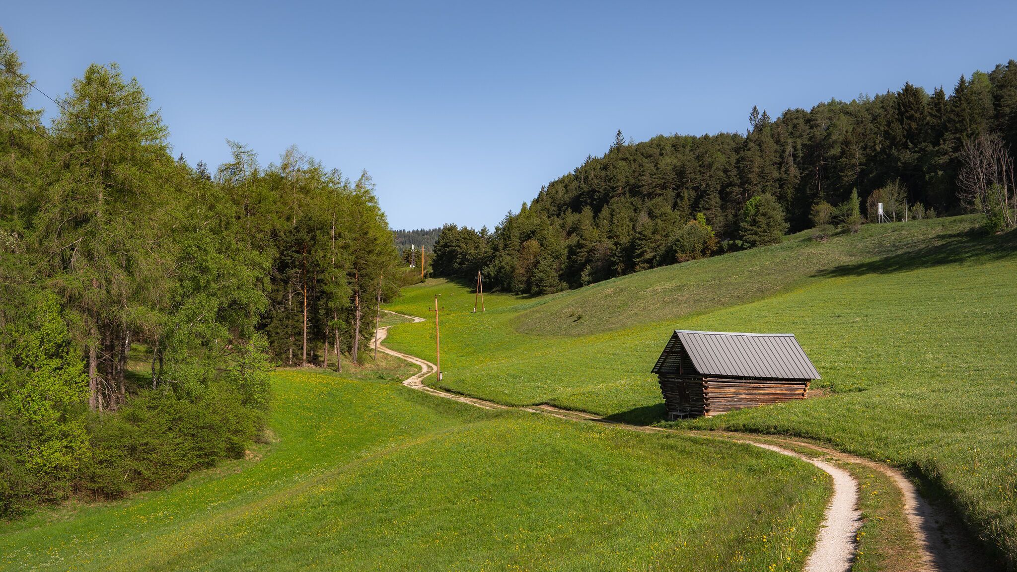
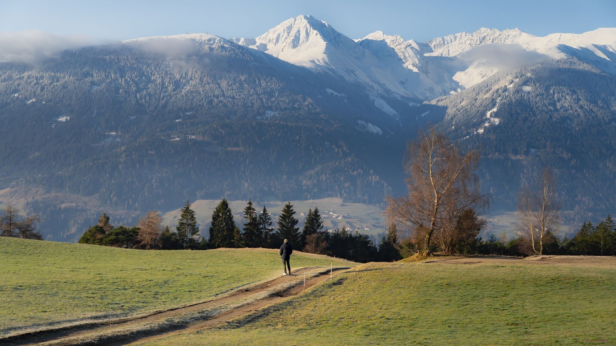
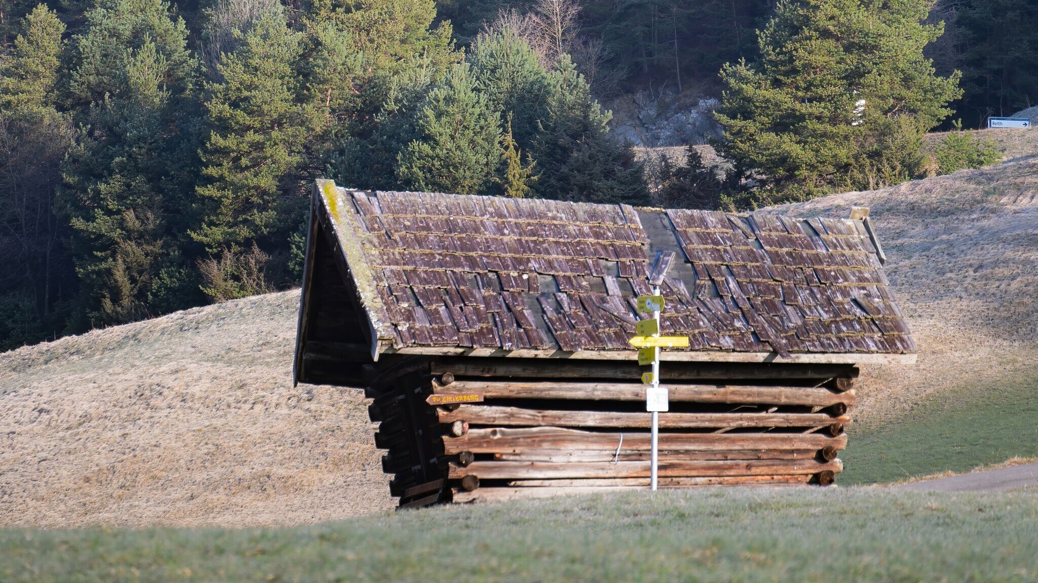
Forest roads, aspahlt road and gravel trails.
All current information about the trail closures in the Region Seefeld can be found here.
Have you been out and about in the Region and discovered a spot that we should rework or repair? Fill out the form "Report a danger zone" and let us know where work is needed.
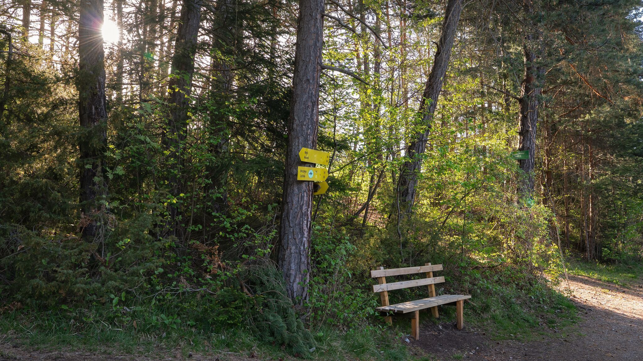
The hike starts at the Reith Information Office. From here, the route first leads right into Römerstraße, which runs through the village. Passing houses and gardens, the path continues gently through the town until it reaches the Kalktalweg turnoff on the left, just before the underpass.
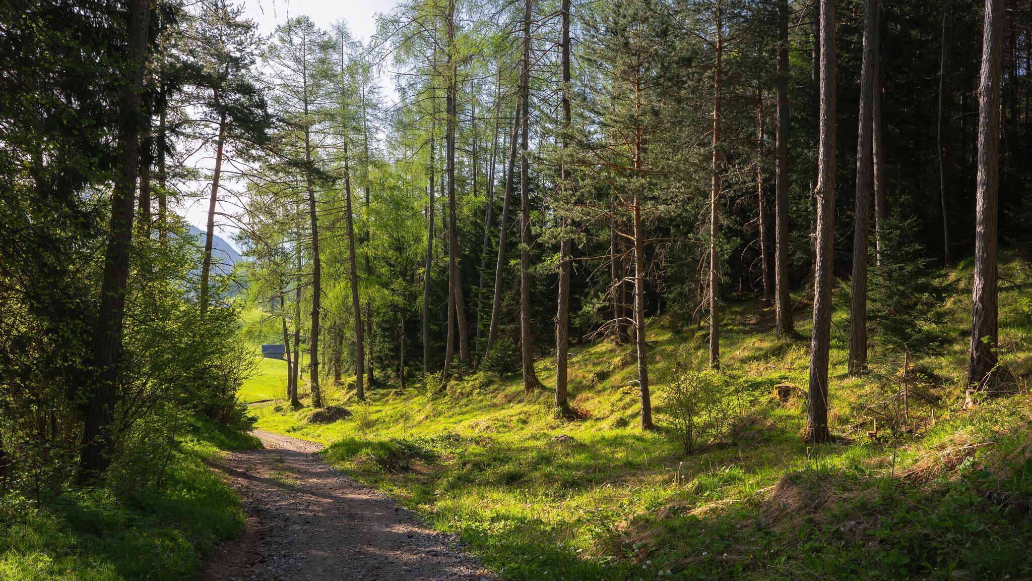
The trail soon leaves the asphalt behind and continues on a gravel path. Following the railway tracks on the right, the route leads to the ÖBB Leithen train stop. Here, the path turns right, passing through the underpass, then follows Kobesbichlweg downhill until it reaches the main road.
After crossing the main road, the hike continues along Leithener Wiesenweg, which gradually turns into a gravel path. The forest road, running parallel to the highway, eventually brings the trail back into Reith.
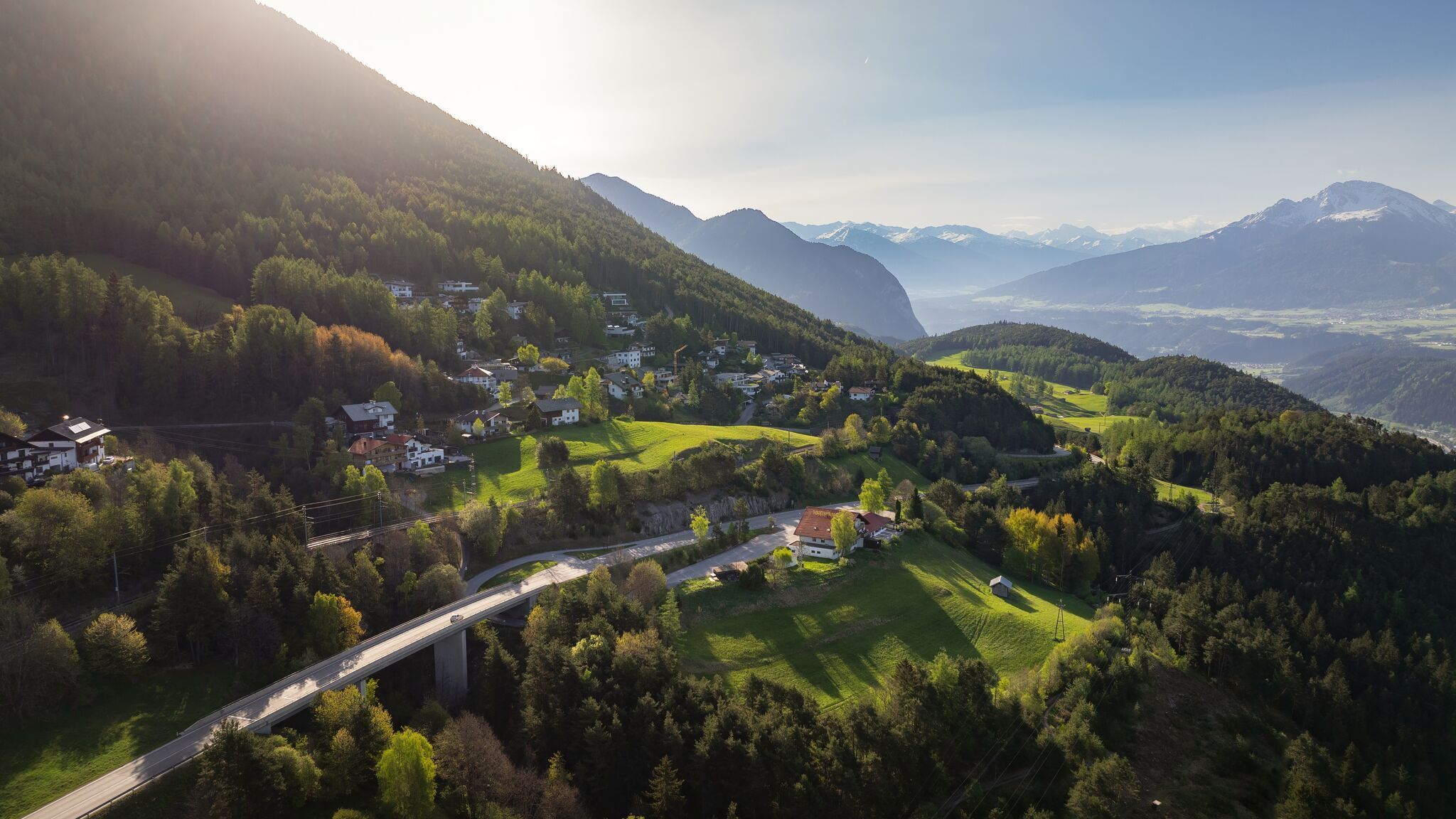
The final stretch includes a short but steep climb: At the turnoff to Niederwiesenweg, the path heads right and uphill, passing through underpasses beneath both the highway and the railway tracks before reaching Lauserweg. The hike follows this path until it joins Römerstraße again, where the Reith Information Office – both the starting and ending point of this scenic loop – awaits on the right.
Take the public transport to Reith Railway Station.
All real-time connections can be found in the route planner.


.jpg")


.jpg")
.jpg")


.jpg")


.jpg")
.jpg")


 (2).jpg")


 Olympiaregion Seefeld")

