Mountain hikes Dorfrunde Itter

Itter / Kitzbühel Alps
Difficulty ratings: easy
Route length: 4.3 km
Duration: 1:30 h

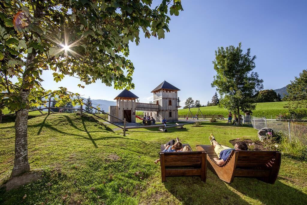
The motto here is ‘small but mighty’ – see for yourself.

Tour information

  • Requirement: easy
  • Length: 4.3 km
  • Duration: 1:30 h
  • Elevation uphill:72 hm
  • Elevation downhill:71 hm
Highest point753 m

Starting point

tourist information Itter

Finishing point

tourist information Itter
  • Fitness level 1 / 6
  • Technique 1 / 6

Features

  • Circular route
  • Suitable for families
  • suitable for pushchairs

Best time of year

  • January
  • February
  • March
  • April
  • May
  • June
  • July
  • August
  • September
  • October
  • November
  • December

Trail condition

Gravel path, forest path, meadow path, asphalt road

Equipment

outdoor clothing, sturdy shoes 
Source: Kitzbüheler Alpen Management GmbH

Description

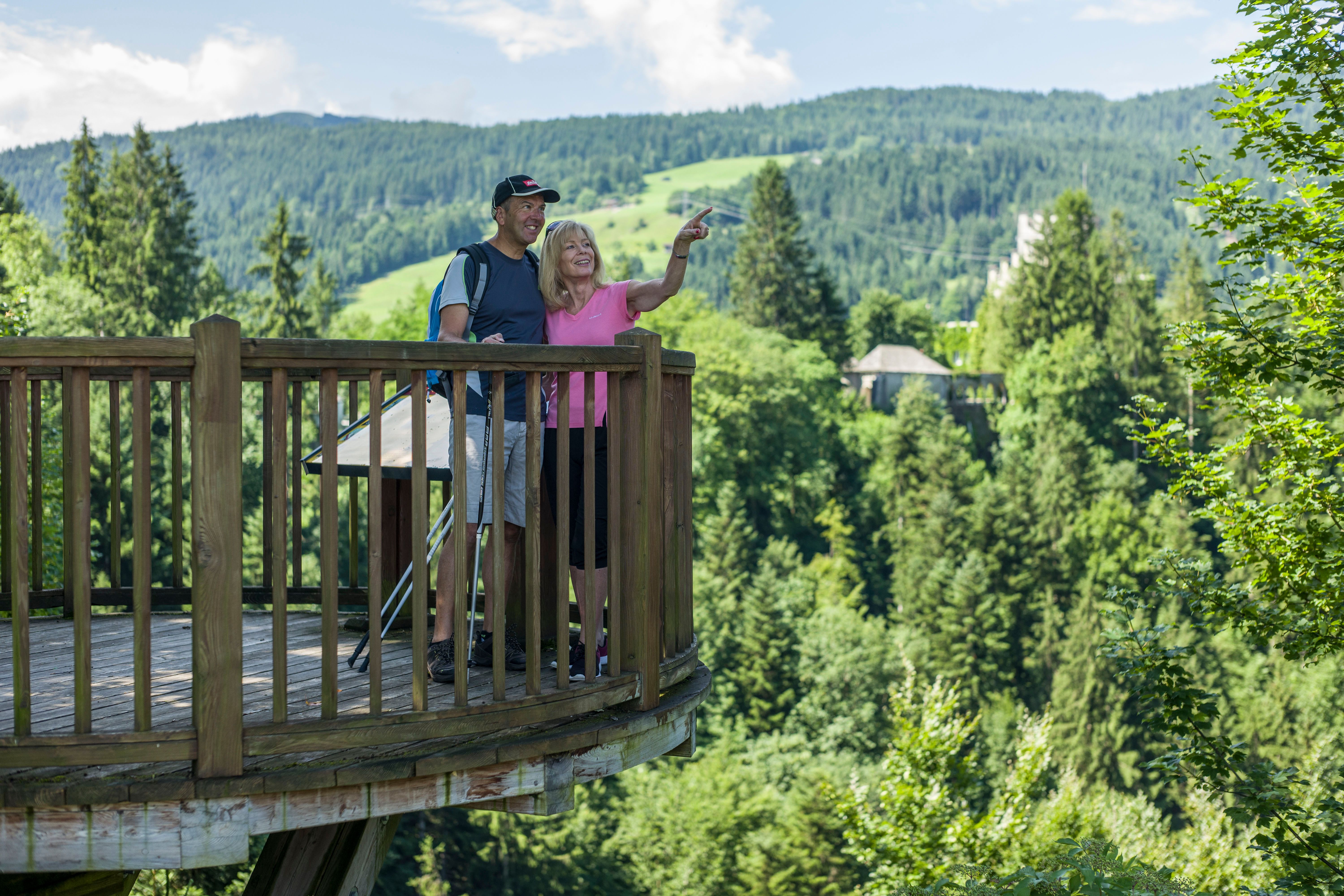
The starting point for this hike is the information office in Itter. Follow the signs in the direction of Rosenweg (no. 4).Pass the viewing platform and continue to the fork in the road, where you turn left. At the Rosenweg stamp, keep to the right in the direction of Itterer Dörfl.
When you cross the road, turn into Schwendter Weg and follow the signs (No. 2). At the Lindweg fork, keep left and continue straight on towards the sports field. Back to the starting point, follow the signposts to Itter.

Nearby huts and mountain restaurants

Getting here

  • Arrival by public transport

    Bus stop: Itter Dorfplatz

    Guest card of the region = train ticket from Kirchbichl to Hochfilzen + bus ticket from Mariastein to Kitzbühel included! 
    Valid on ÖBB local trains (S, REX) and InterRegio trains (IR) between Kirchbichl - Wörgl and Hochfilzen.
    Not valid on RJ, RJX, EC, IC, ICE, D and NJ/EN trains.


    More detailed information: www.hohe-salve.com/mobilityhttp://www.oebb.at/

  • Parking

    Free parking place directly at the Itter village square

More tours in the surrounding area

  • Auenweg Niederau

    Difficulty:easy
    Length:1.0 kmDuration:0:30 hElevation uphill:31 m
  • Schafsiedel

    Difficulty:medium
    Length:15.6 kmDuration:6:45 hElevation uphill:1,280 m
  • KAT WALK FAMILY

    Difficulty:medium
    Length:52.5 kmDuration:1 dayElevation uphill:3,390 m
  • 2nd stage KAT Walk Alpine

    Difficulty:medium
    Length:18.0 kmDuration:8:00 hElevation uphill:1,140 m
  • 1st stage KAT Walk Alpine

    Difficulty:medium
    Length:20.0 kmDuration:6:00 hElevation uphill:800 m
  • KAT WALK ALPINE

    Difficulty:medium
    Length:113.0 kmDuration:6 daysElevation uphill:6,300 m
  • KAT WALK COMPACT

    Difficulty:medium
    Length:83.0 kmDuration:5 daysElevation uphill:5,462 m
  • 1st stage KAT Walk Kompakt

    Difficulty:medium
    Length:14.2 kmDuration:7:15 hElevation uphill:1,212 m
Newsletter

The mountain is calling? So does our newsletter!

In our monthly newsletter we reveal the best holiday tips for Tyrol.