
Opening hours:Open today
Place:Wenns
:Alpine pasture / hut / mountain restaurant
E5 Zams - Glanderspitze - Wenns
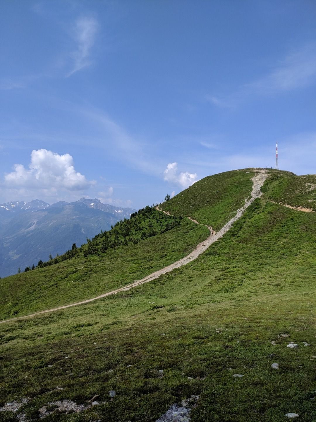
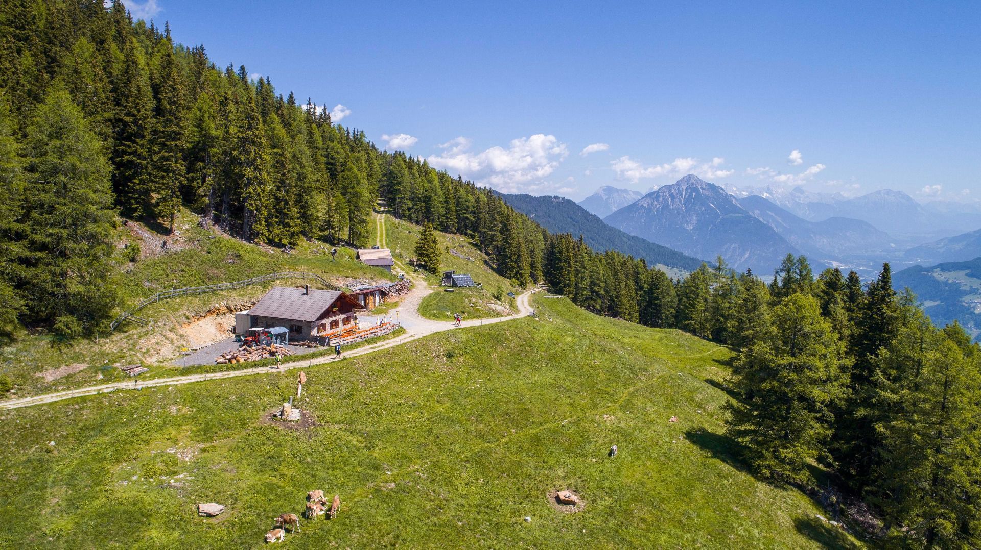
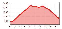
The starting point is the valley station of the Venetbahn in Zams. From there, the long-distance hiking trail follows the Wiesensteig (Trail 2a) uphill to the Zammer Alm and the Zams Ski Hut. Both offer places to stop for refreshments and a beautiful view, making them ideal spots for a break. The trail then continues uphill to the Venetbahn mountain station on the Krahberg, where there is a panoramic restaurant and a summit hut. Above the mountain station, a path begins that leads to the summit of the 2,505-metre-high Glanderspitze. From there, the route continues over the Wannejöchl (2,495 m) to the Larcher Alm and finally down to Wenns in the Pitztal.
South-facing alternative route for a gentler route
Those who prefer a gentler route from Krahberg can opt for the south-facing alternative route of the E5. This variant also starts at the Venetbahn mountain station and leads via the Gogles Alm to the Larcher Alm (1,814 m) and on down into the Pitztal valley to Wenns. This means that on this stage, depending on fitness and preference, you can choose between a more alpine route via the Glanderspitze and the Wannejöchl and a gentler variant via the south side.


.jpg")


.jpg")
