Mountain hikes Ehrwald - Steinernes Hüttl

Ehrwald / Wetterstein Mountains & Mieming Range
Difficulty ratings: difficult
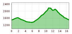
Route length: 16.7 km
Duration: 7:30 h

Difficult mountain tour that requires endurance and surefootedness

Tour information

  • Requirement: difficult
  • Length: 16.7 km
  • Duration: 7:30 h
  • Elevation uphill:1,061 hm
  • Elevation downhill:1,068 hm
Highest point2,204 m

Starting point

Ehrwalder Almbahn mountain station

Finishing point

Ehrwalder Almbahn mountain statio
  • Fitness level 5 / 6
  • Technique 5 / 6

Features

  • Circular route

Best time of year

  • January
  • February
  • March
  • April
  • May
  • June
  • July
  • August
  • September
  • October
  • November
  • December

Trail condition

Fire road, gravel, hiking trail, stones, rocks, meadow path 

Equipment

Appropriate clothing, sturdy shoes, rain protection, sun protection, hiking poles, sufficient water. No climbing equipment required.
Source: Tiroler Zugspitz Arena

Description

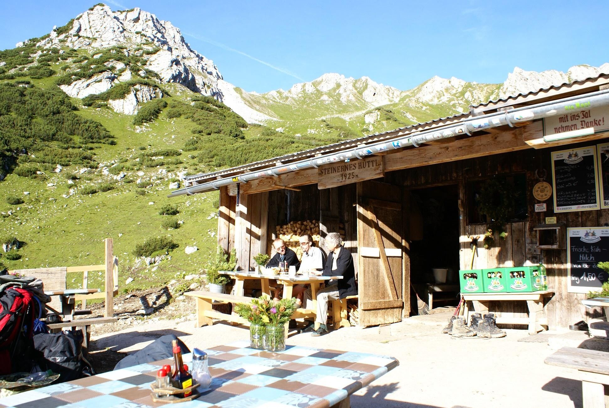
Starting point of the difficult mountain tour is the mountain station of the Ehrwalder Almbahn. Follow the road into the Gaistal valley to the Tillfussalm. Then follow the trail to the Steinernen Hüttl and continue on the trail in the direction of Feldernjoch. Descend in the direction of Hochfeldern Alm and via the Max Klotz Steig back to the starting point.

IMPORTANT NOTES:
● Stay on the marked hiking trails
● Keep your distance from grazing animals
● Observe the opening hours of the huts
● Alpine emergency call: 140

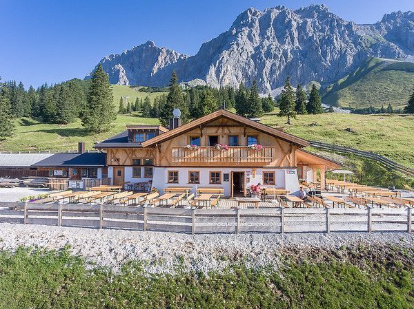
Nearby huts and mountain restaurants

Getting here

  • Parking

    You can reach Ehrwald easily by ca or public transport
    In Ehrwald at the gondola station, Ehrwalder Almbahn, you'll find a big parking lot

Weather

Today

mainly clear
12°C/1°C
0%0l5 km/h

Sat

mainly clear
10°C/0°C
65%0.3l5 km/h

Sun

snow showers
4°C/-1°C
65%1.7l5 km/h
Go to weather forecast

More tours in the surrounding area

Newsletter

The mountain is calling? So does our newsletter!

In our monthly newsletter we reveal the best holiday tips for Tyrol.