Long-distance hike ET6 | Alpina Antica Trail Going - Kirchberg in Tirol

Going am Wilden Kaiser / Kitzbühel Alps
Difficulty ratings: difficult
Route length: 16.0 km
Duration: 6:00 h

Scenic high-altitude hike from Going via the Rauher Kopf to Kirchberg in Tirol !
Tour information

  • Requirement: difficult
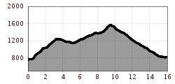
  • Length: 16.0 km
  • Duration: 6:00 h
  • Elevation uphill:965 hm
  • Elevation downhill:911 hm
Highest point1,578 m

Starting point

Going am Wilden Kaiser

Finishing point

Kirchberg in Tirol
  • Fitness level 5 / 6
  • Technique 4 / 6

Best time of year

  • January
  • February
  • March
  • April
  • May
  • June
  • July
  • August
  • September
  • October
  • November
  • December

Trail condition

Mountain hiking trail, gravel path, asphalt road

Equipment

Hiking boots, weather protection, provisions, first aid kit
Source: Kitzbüheler Alpen Management GmbH

Description

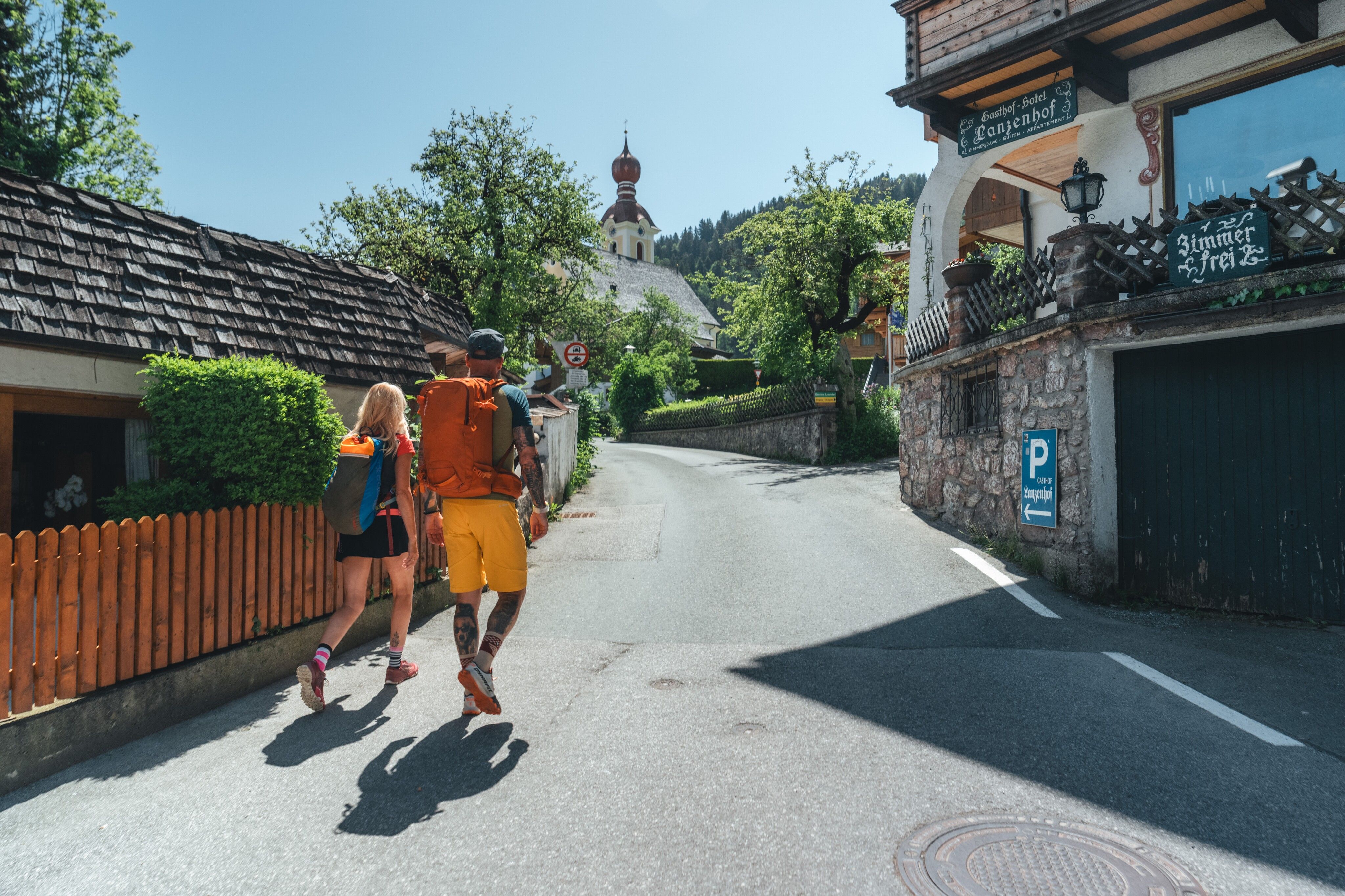
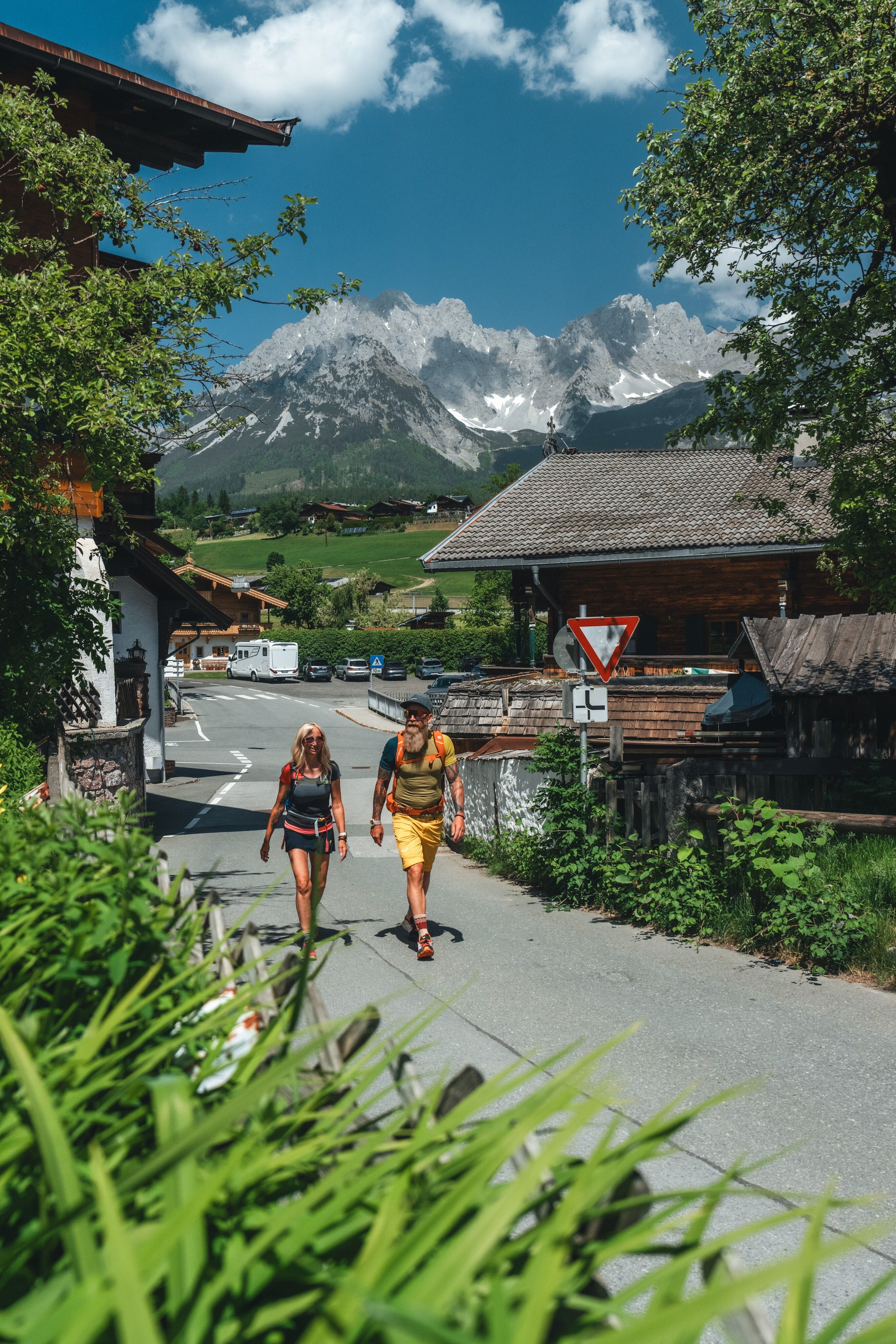
Panoramic views! What you can enjoy so much on this stage – namely the fantastic view of the south side of the Wilder Kaiser on one side and the view of the imposing glacial giants of the Hohe Tauern on the other – was probably not a reason for the muleteers of yesteryear to choose this route over the mountains. Whether this route was ever used in this form by muleteers is also unknown. However, in the past there were always reasons why merchant travelers avoided the valley structures on their way through the Alps and hiked over the mountains. Be it because lords of the manor levied high customs duties, or gangs of robbers were up to no good on the main routes. In any case, you will not regret the high-altitude hike over the Astberg and the Rauen Kopf to the beautiful mountain village of Kirchberg in Tirol!

Weather

Today

mainly clear
24°C/10°C
65%2.2l5 km/h

Mon

light rain showers
17°C/8°C
60%1.1l10 km/h

Tue

mainly clear
16°C/6°C
20%0l10 km/h
Go to weather forecast

More tours in the surrounding area

  • Kaiserkrone - stage 3

    Difficulty:medium
    Length:9.3 kmDuration:4:30 hElevation uphill:840 m
  • Tauernblick panorama circular hiking route

    Difficulty:medium
    Length:13.6 kmDuration:6:00 hElevation uphill:980 m
  • 3-day hut tour Wilder Kaiser

    Difficulty:difficult
    Length:24.6 kmDuration:14:00 hElevation uphill:2,060 m
  • Hochalm hike

    Difficulty:medium
    Length:19.6 kmDuration:7:00 hElevation uphill:1,140 m
  • Hintere Goinger Halt summit tour

    Difficulty:difficult
    Length:9.3 kmDuration:6:30 hElevation uphill:1,090 m
  • Panoramic circuit Brandstadl–Hartkaiser

    Difficulty:easy
    Length:6.0 kmDuration:1:50 hElevation uphill:170 m
  • “Moor & more” Rocky Way

    Difficulty:easy
    Length:8.0 kmDuration:3:00 hElevation uphill:380 m
  • Astberg circular hiking route

    Difficulty:easy
    Length:1.5 kmDuration:0:30 hElevation uphill:80 m
  • Kaiserkrone - stage 1

    Difficulty:medium
    Length:8.0 kmDuration:4:30 hElevation uphill:1,120 m
  • Eagle Walk Stage 02: Gaudeamushütte - Kaindlhütte

    Difficulty:medium
    Length:15.1 kmDuration:6:30 hElevation uphill:888 m
Newsletter

The mountain is calling? So does our newsletter!

In our monthly newsletter we reveal the best holiday tips for Tyrol.