Mountain hikes From Brentenjoch (Kaiserlift) to Hintersteiner See

Scheffau am Wilden Kaiser / Kaiser Mountains
Difficulty ratings: medium
Route length: 8.8 km
Duration: 3:20 h

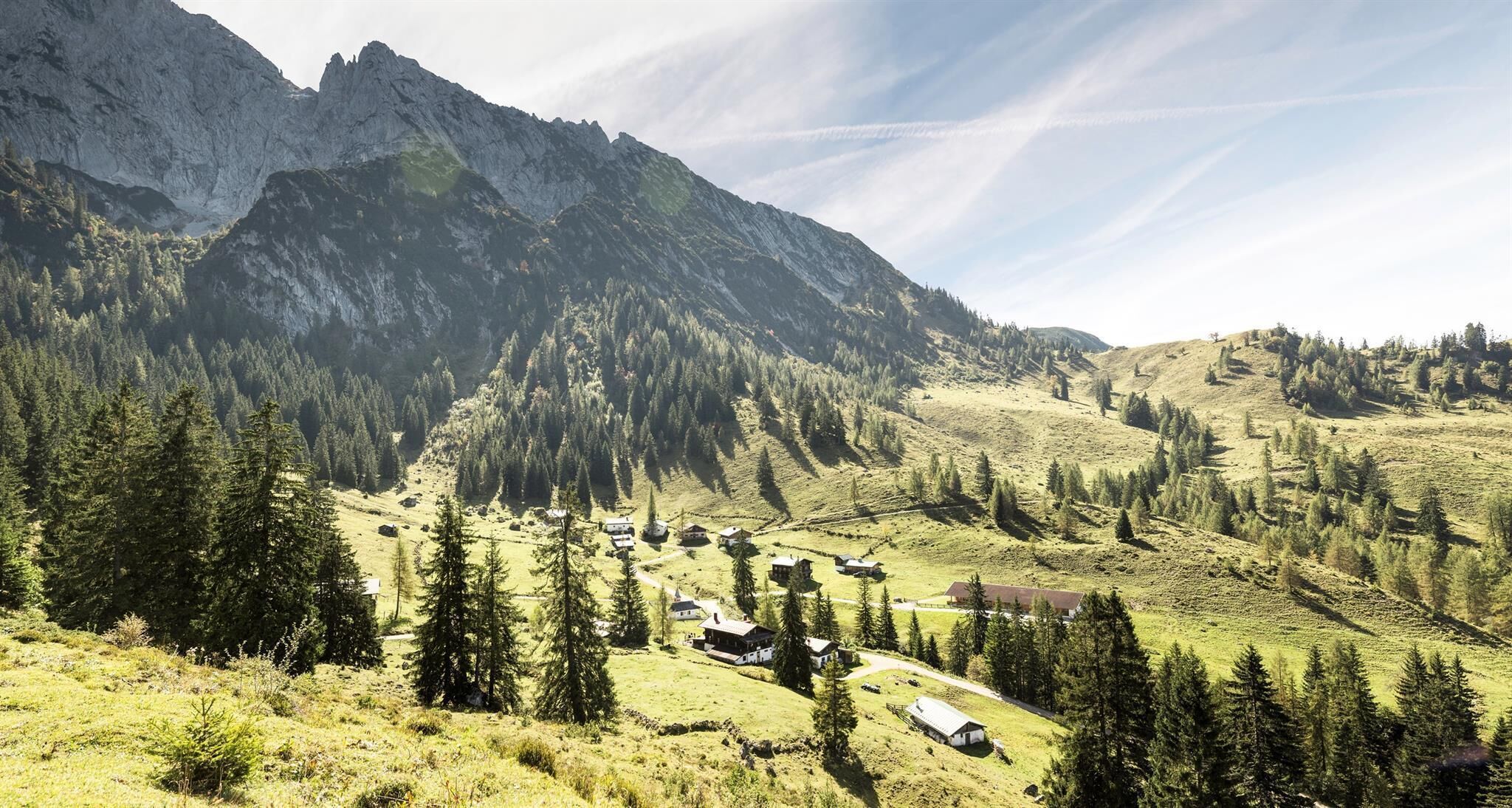
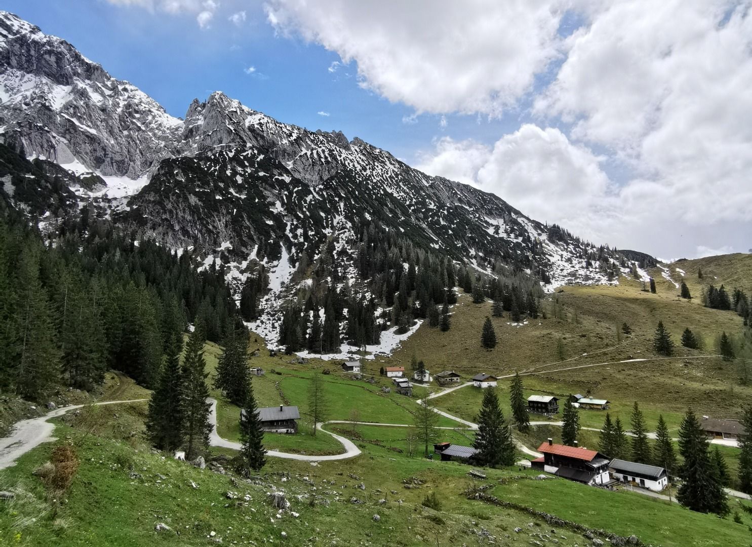
Hike from the Kaiserlift mountain station via the Kaindlhütte and Walleralm to Hintersteiner See.
Tour information

  • Requirement: medium
  • Length: 8.8 km
  • Duration: 3:20 h
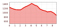
  • Elevation uphill:340 hm
  • Elevation downhill:700 hm
Highest point1,470 m

Starting point

Mountain station Kaiserlift, Kufstein (1256 m)

Finishing point

Hiking starting point Seestüberl, Scheffau (890 m)
  • Fitness level 3 / 6
  • Technique 3 / 6

Best time of year

  • January
  • February
  • March
  • April
  • May
  • June
  • July
  • August
  • September
  • October
  • November
  • December

Trail condition

The composition of the trail varies between gravel paths, forest and hiking trails.

Equipment

Rucksack, sturdy hiking shoes, weather-appropriate hiking gear, sun protection, waterproofs, snack and drink, hiking poles (height adjustable) if required, mobile phone, plastic bag for waste, hiking map, route description and information materials (GPX track), ID, cash
Source: TVB Wilder Kaiser

Description

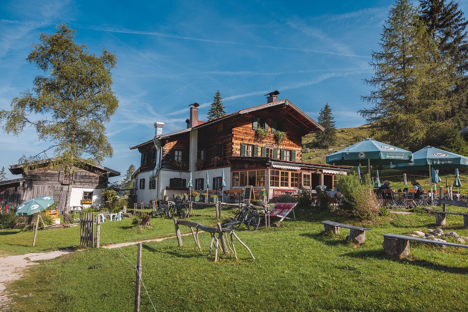
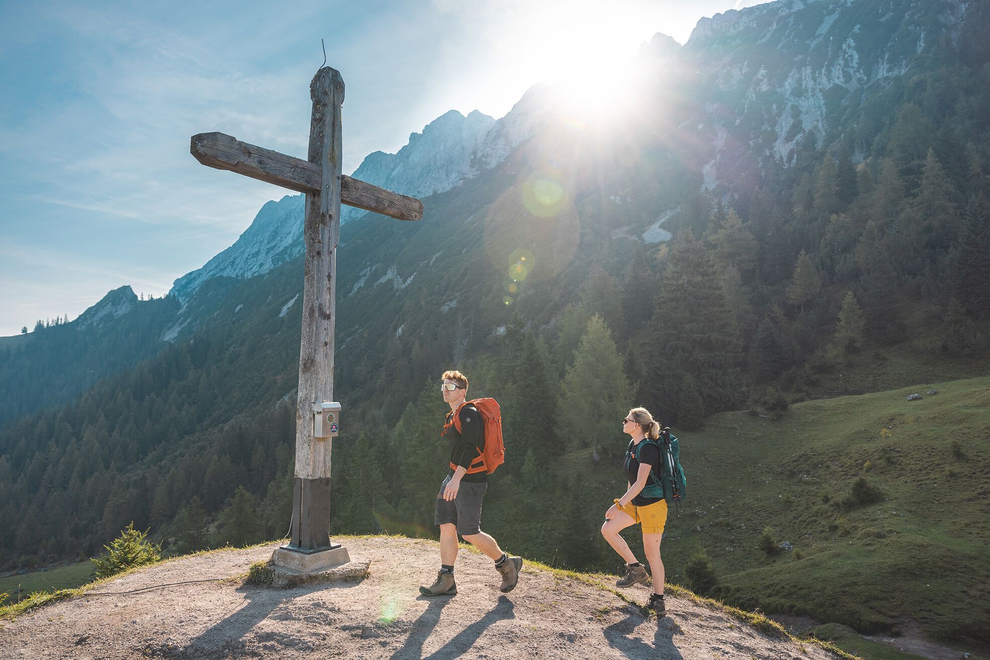
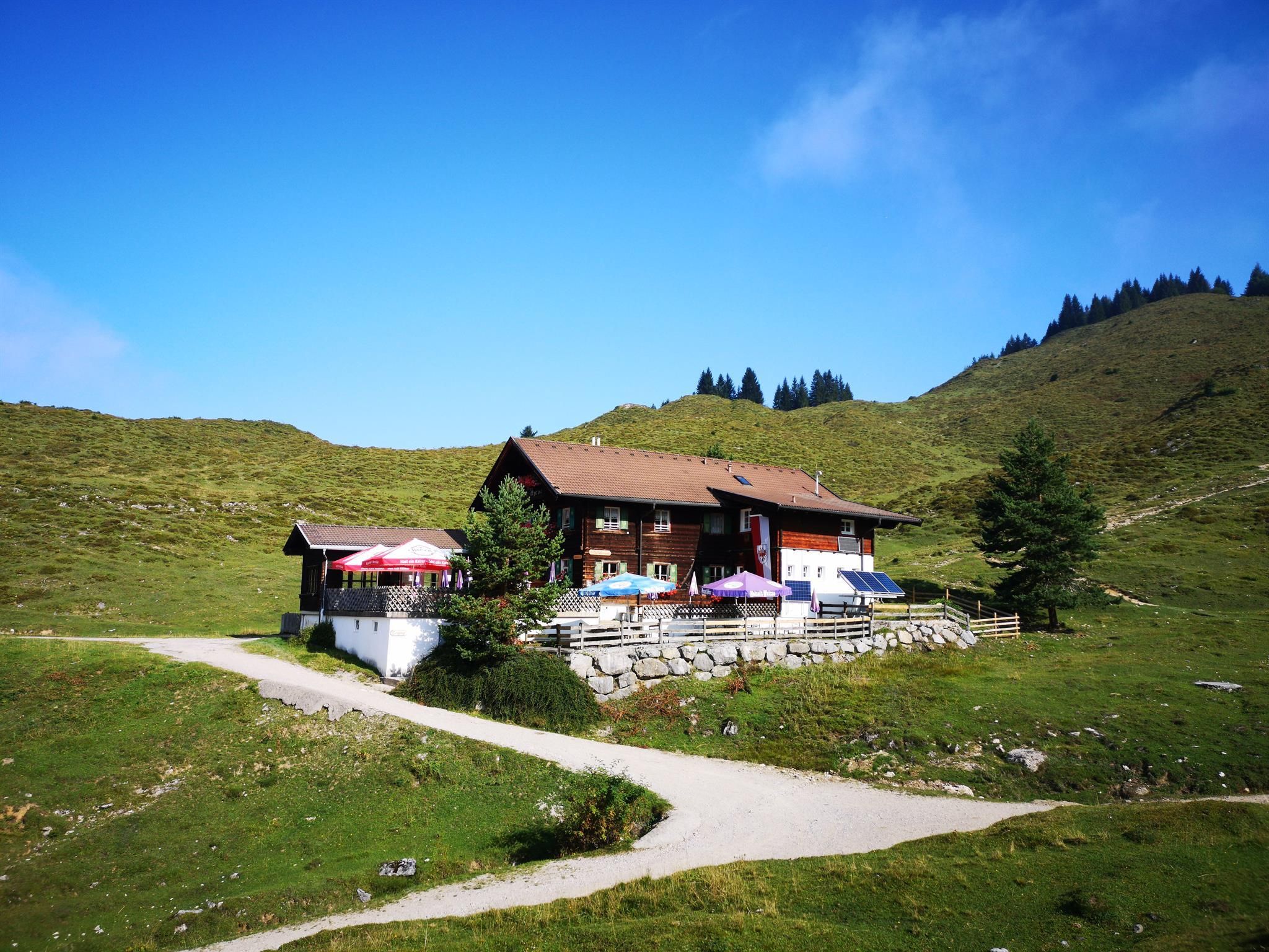
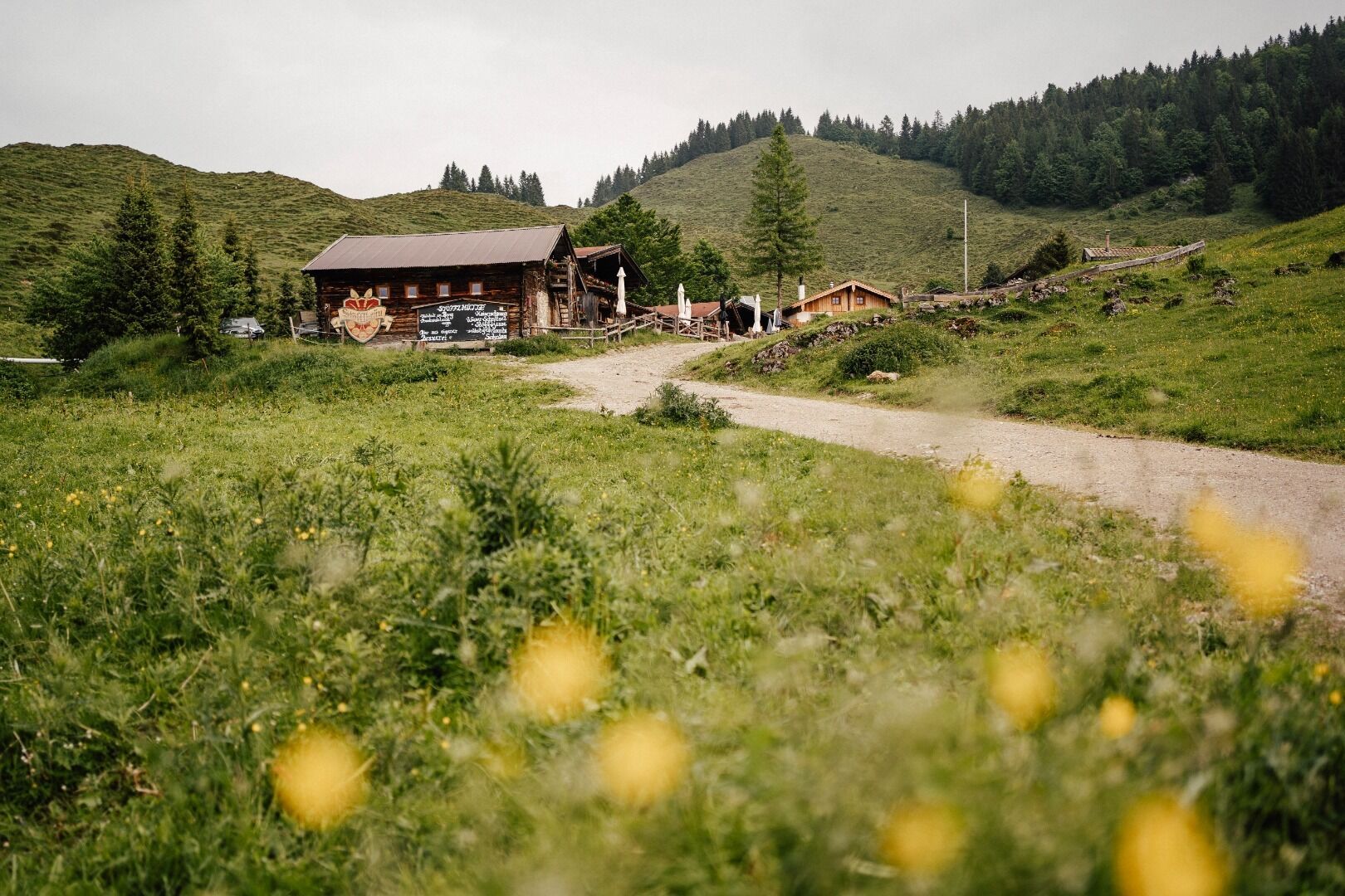
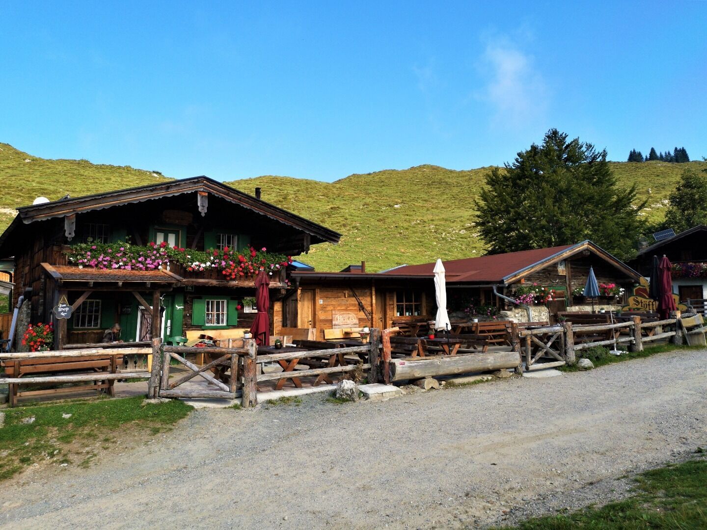
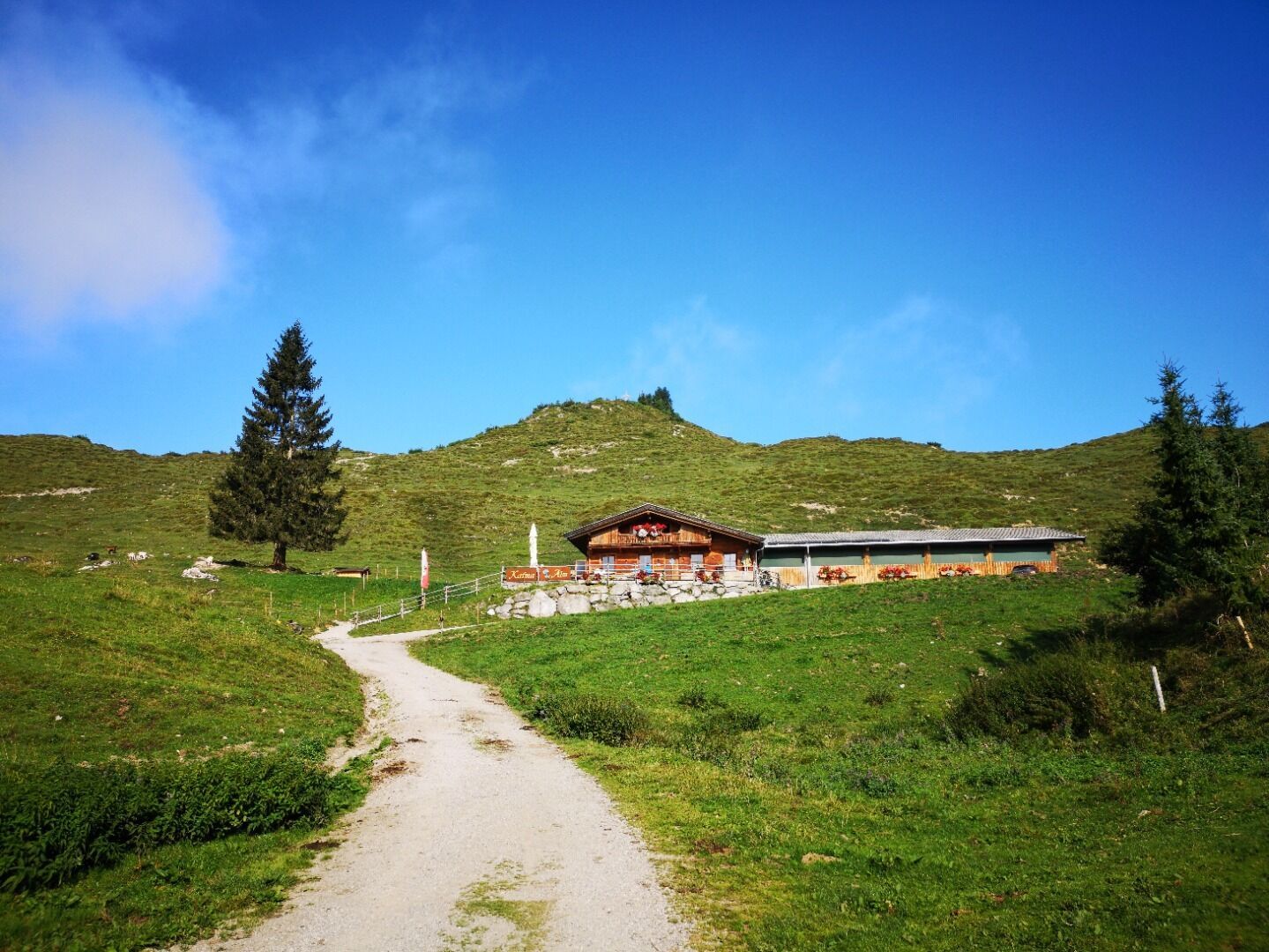
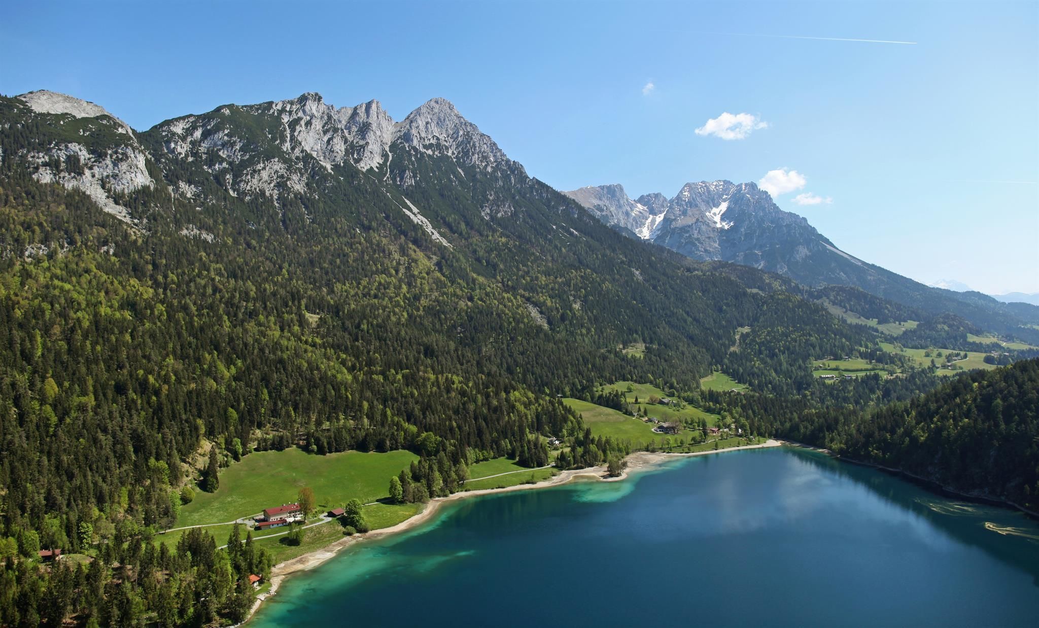
Starting point of this hike is the mountain station of the Kaiserlift in Kufstein (1.256 m) - the lift is in operation from May to October. From the "Brentenjoch" it goes down the gravel road no. 814 until it turns right over meadows up to the Kaindlhütte (1.293 m). Then you continue along hiking trail no. 827 to the viewpoint Hochegg (1,470 m). Continue on to the Walleralm (1.170 m), where you will find 3 cozy huts - the Walleralm, Stöfflhütte and Kafma Alm. After a refreshment, the path continues downhill and then turn left through the forest no. 45a in the direction of Seestüberl to Hintersteiner See ( 890 m). There is also the beach - a dip in the refreshing, crystal clear lake is worth it!

Variant: From the Walleralm, take the path no. 45 on the right in the direction of Pension Maier and from there on the forest path no. 822 on the south bank along the Hintersteiner See to the Seestüberl. Extends the tour by about 30 minutes.

You will reach the valley and Scheffau on foot (about 1,5 hours walk) or with the hiking bus Hintersteiner See (Timetable on: www.wilderkaiser.info/mobil)

Nearby huts and mountain restaurants

  • Kaindlhütte

    Opening hours:Today closed
    Place:Kufstein
    :Alpine pasture / hut / mountain restaurant
  • Restaurant Seestüberl

    Opening hours:Open today
    Place:Scheffau am Wilden Kaiser
    :Restaurant, Alpine pasture / hut / mountain restaurant, café
  • Stöfflhütte

    Opening hours:Open today
    Place:Scheffau am Wilden Kaiser
    :Alpine pasture / hut / mountain restaurant
  • Kafma Alm

    Opening hours:Open today
    Place:Scheffau am Wilden Kaiser
    :Alpine pasture / hut / mountain restaurant
    see restaurant details: Kafma Alm

Getting here

  • Arrival by public transport

    From the Wilder Kaiser region, take the VVT regional bus line 866 to "Kufstein Bahnhof".  From there, either walk to the Kaiserlift (approx. 25 min. walking time) or continue with the Kufstein city bus line 1 to the "Meraner Straße" stop (10 min. walking time to the Kaiserlift) or take the Kufstein Freizeitbus line 50 (June-September) to the Kaiserlift.
    Further information at www.wilderkaiser.info/mobil

  • Parking

    Car park at Kaiserlift, Kufstein (514 m) - pay & display 
    or
    Car park Hintersteiner See next to Seestüberl, Scheffau (889 m) - pay & display

Weather

Thu

mainly clear
30°C/14°C
0%0l5 km/h

Today

light rain showers
30°C/16°C
85%11l5 km/h

Sat

light rain showers
24°C/13°C
30%0l5 km/h
Go to weather forecast

More tours in the surrounding area

  • Tauernblick panorama circular hiking route

    Difficulty:medium
    Length:13.6 kmDuration:6:00 hElevation uphill:980 m
  • “Moor & more” Rocky Way

    Difficulty:easy
    Length:8.0 kmDuration:3:00 hElevation uphill:380 m
  • Hochalm hike

    Difficulty:medium
    Length:19.6 kmDuration:7:00 hElevation uphill:1,140 m
  • Hintere Goinger Halt summit tour

    Difficulty:difficult
    Length:9.3 kmDuration:6:30 hElevation uphill:1,090 m
  • Panoramic circuit Brandstadl–Hartkaiser

    Difficulty:easy
    Length:6.0 kmDuration:1:50 hElevation uphill:170 m
  • Astberg circular hiking route

    Difficulty:easy
    Length:1.5 kmDuration:0:30 hElevation uphill:80 m
  • Kaiserkrone - stage 3

    Difficulty:medium
    Length:9.3 kmDuration:4:30 hElevation uphill:840 m
  • 3-day hut tour Wilder Kaiser

    Difficulty:difficult
    Length:24.6 kmDuration:14:00 hElevation uphill:2,060 m
  • Kaiserkrone - stage 1

    Difficulty:medium
    Length:8.0 kmDuration:4:30 hElevation uphill:1,120 m
  • Eagle Walk Stage 02: Gaudeamushütte - Kaindlhütte

    Difficulty:medium
    Length:15.1 kmDuration:6:30 hElevation uphill:888 m
Newsletter

The mountain is calling? So does our newsletter!

In our monthly newsletter we reveal the best holiday tips for Tyrol.