Mountain hikes G.02 Zeinisjoch

Difficulty ratings: easy
Route length: 11.8 km
Duration: 2:30 h

Simple hike from the Galtür village square to the 'Zeinisjoch'

Tour information

  • Requirement: easy
  • Length: 11.8 km
  • Duration: 2:30 h
  • Elevation uphill:311 hm
  • Elevation downhill:311 hm
Highest point1,850 m

Starting point

Galtür village square

Finishing point

Galtür village square

Features

  • suitable for pushchairs

Best time of year

  • January
  • February
  • March
  • April
  • May
  • June
  • July
  • August
  • September
  • October
  • November
  • December

Trail condition

asphalt, gravel
Source: Tourismusverband Paznaun - Ischgl

Description

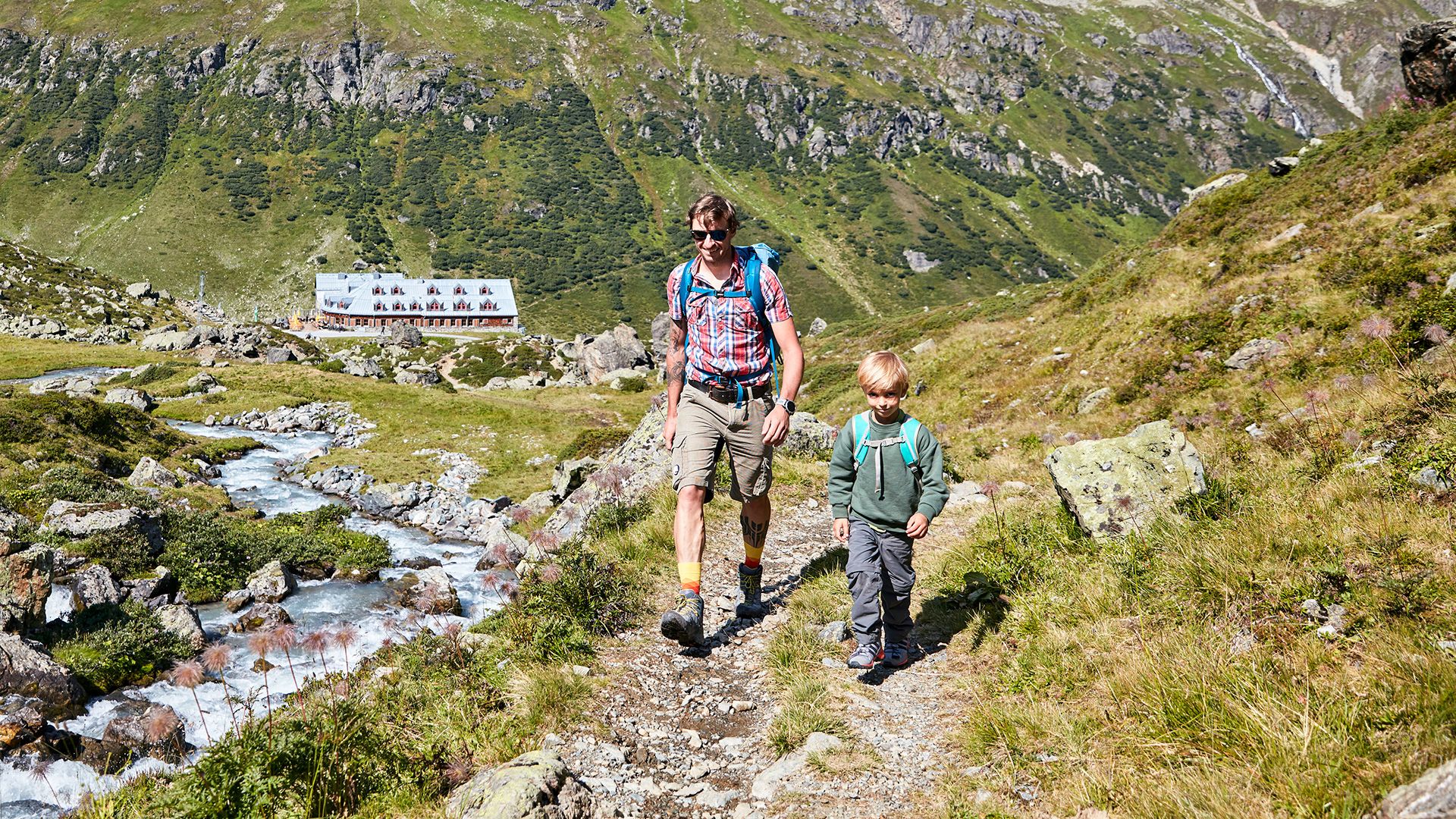
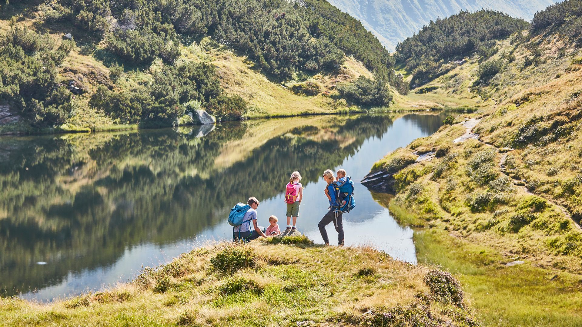
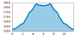
Starting from the village square in Galtür either follow the river bank trail along Vermuntbach or hike on the valley hiking trail to Wirl. From there follow the old Zeinisjochstraße, past Haus Klein Zeinis, until you get to Zeinisjoch mountain pass. This is not just the border limit area of Tyrol - Vorarlberg, but also the Rhine - Donau watershed area. The final section takes you along a mountain lake to the Alpengasthof Zeinisjoch. At this stop-off station you are offered a wonderful view to Kopsstausee which has a dam wall and also an impressive panoramic alpine view with Montafon‘s local mountain, the Valülla (2.813m).
Return section: same route back.

Nearby huts and mountain restaurants

Getting here

More tours in the surrounding area

  • Wilder-Kaiser-Steig - Detour

    Difficulty: difficult
    Length: 33.0 km Duration: 16:49 h Elevation uphill: 2,311 m
  • Ötztal Trek Stage 6

    Difficulty: difficult
    Length: 7.6 km Duration: 3:30 h Elevation uphill: 640 m
  • Ötztal Trek Stage 3

    Difficulty: difficult
    Length: 10.4 km Duration: 4:00 h Elevation uphill: 842 m
  • Ötztal Trek Stage 7

    Difficulty: difficult
    Length: 5.3 km Duration: 2:00 h Elevation uphill: 376 m
  • Ötztal Trek Stage 1

    Difficulty: medium
    Length: 18.6 km Duration: 6:30 h Elevation uphill: 1,561 m
  • Ötztal Trek Stage 17

    Difficulty: difficult
    Length: 16.4 km Duration: 6:00 h Elevation uphill: 1,080 m
  • Ötztal Trek Stage 14

    Difficulty: difficult
    Length: 6.3 km Duration: 3:00 h Elevation uphill: 1,004 m
  • Ötztal Trek Stage 12

    Difficulty: difficult
    Length: 4.8 km Duration: 2:00 h Elevation uphill: 592 m
  • Ötztaler Urweg

    Length: 189.1 km Duration: 72:19 h Elevation uphill: 9,428 m
  • Ötztal Trek Stage 4

    Difficulty: difficult
    Length: 8.9 km Duration: 4:00 h Elevation uphill: 802 m
  • Ötztal Trek Stage 2

    Difficulty: difficult
    Length: 10.7 km Duration: 4:00 h Elevation uphill: 926 m
  • Ötztal Trek Stage 9

    Difficulty: difficult
    Length: 12.8 km Duration: 6:00 h Elevation uphill: 1,623 m
  • Ötztal Trek Stage 10

    Difficulty: difficult
    Length: 11.1 km Duration: 4:30 h Elevation uphill: 1,476 m
  • Ötztal Trek Stage 15

    Difficulty: difficult
    Length: 6.5 km Duration: 2:30 h Elevation uphill: 332 m
  • Ötztal Trek Stage 16

    Difficulty: difficult
    Length: 6.9 km Duration: 2:30 h Elevation uphill: 358 m
  • Ötztal Trek Stage 19

    Difficulty: difficult
    Length: 11.0 km Duration: 5:00 h Elevation uphill: 1,246 m
  • Ötztal Trek Stage 13

    Opening hours: closed
    Difficulty: difficult
    Length: 8.5 km Duration: 3:30 h Elevation uphill: 390 m
  • Ötztal Trek Stage 11

    Difficulty: difficult
    Length: 12.0 km Duration: 5:00 h Elevation uphill: 705 m
Newsletter

The mountain is calling? So does our newsletter!

In our monthly newsletter we reveal the best holiday tips for Tyrol.