Mountain hikes Gacher Blick

Mieming / Wetterstein Mountains & Mieming Range
Difficulty ratings: difficult
Route length: 6.5 km
Duration: 5:30 h

Gacher Blick

Tour information

  • Requirement: difficult
  • Length: 6.5 km
  • Duration: 5:30 h
  • Elevation uphill:1,027 hm
  • Elevation downhill:1,027 hm
Highest point1,909 m

Starting point

Car park Lehnbach, Mieming (free of charge)

Finishing point

Gacher Blick (1.909 m)
Source: Innsbruck Tourismus

Description

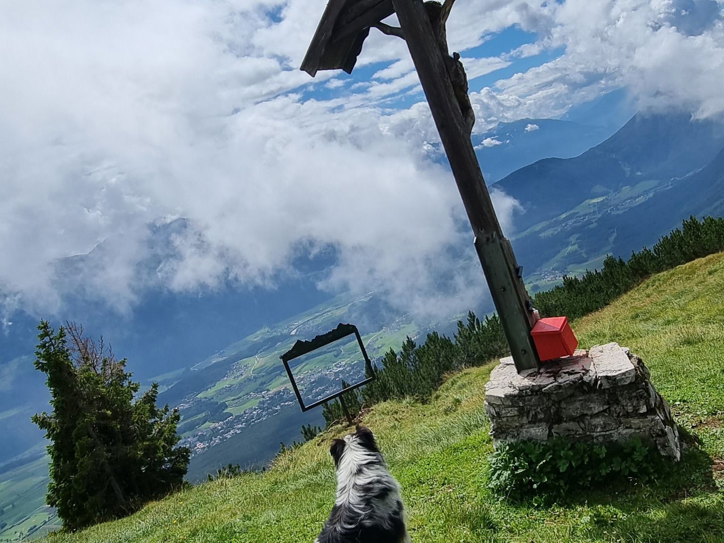
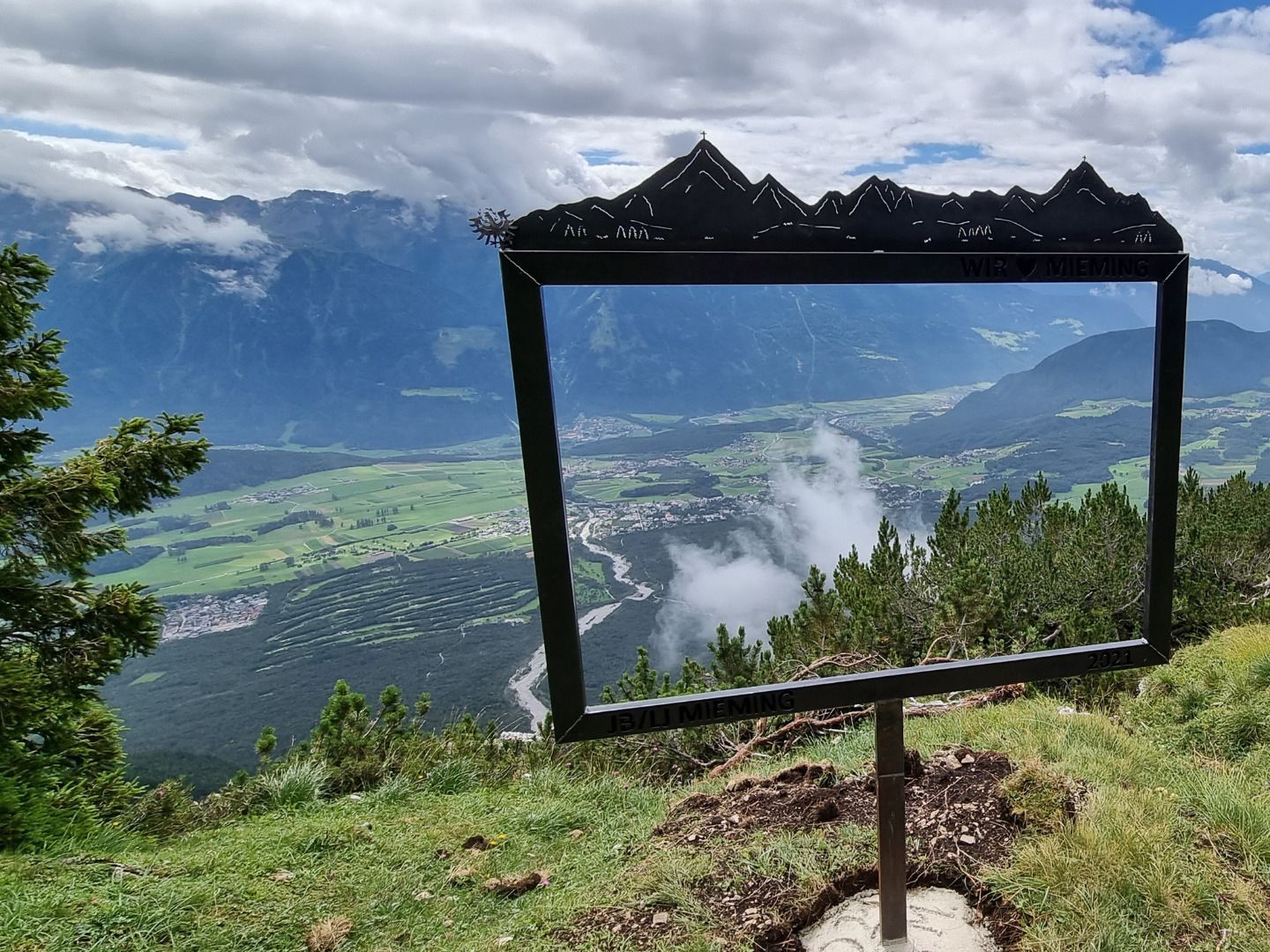
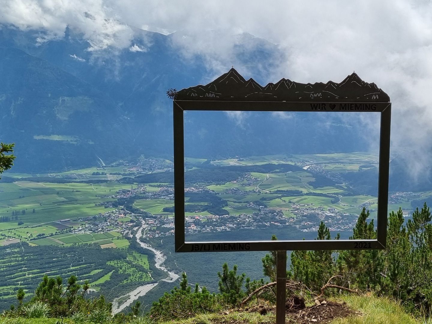
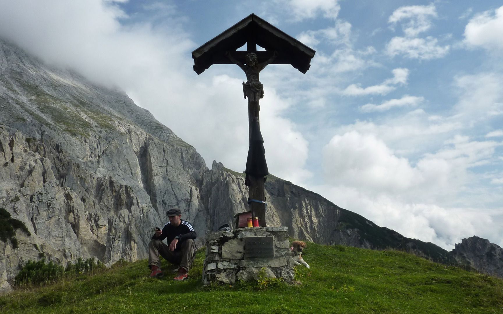
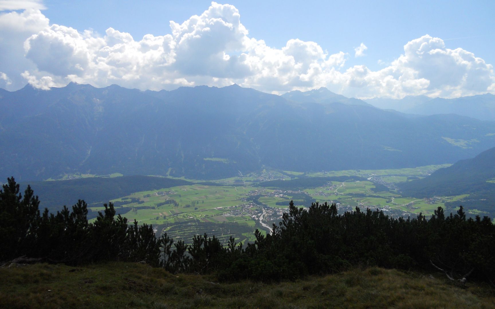
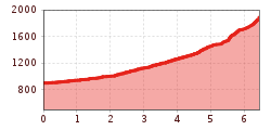
From the car park, head through the gate and follow the gravel path towards the Stöttlalm mountain hut. Before reaching the Stöttlalm, you will come to a fork in the road. Take the route that leads through the forest towards the Boasligbrücke bridge. This good gravel path zigzags up the mountain and covers quite a few vertical metres. At the Boasligbrücke bridge, take the Pfarrer-Kathrein-Steig trail towards Henneberg and then continue along a varied and relatively steep path up to the Gachen Blick viewpoint. There you can enjoy magnificent alpine views and the impressive sight of the Judenklamm gorge below.

Descent:
For the return, you can either follow the same route as on the ascent or, without stopping again at the Boasligbrücke, descend via a gravel road through the Kohlgrube.

Nearby huts and mountain restaurants

  • Mountain hut Stöttlalm

    Opening hours:Open today
    Place:Mieming
    :Alpine pasture / hut / mountain restaurant:Breakfast, vegetarian, vegan

More tours in the surrounding area

Newsletter

The mountain is calling? So does our newsletter!

In our monthly newsletter we reveal the best holiday tips for Tyrol.