Mountain hikes Herrenweg via Wodeturm

open
Ladis / Samnaun Group
Difficulty ratings: easy
Route length: 3.1 km
Duration: 1:00 h

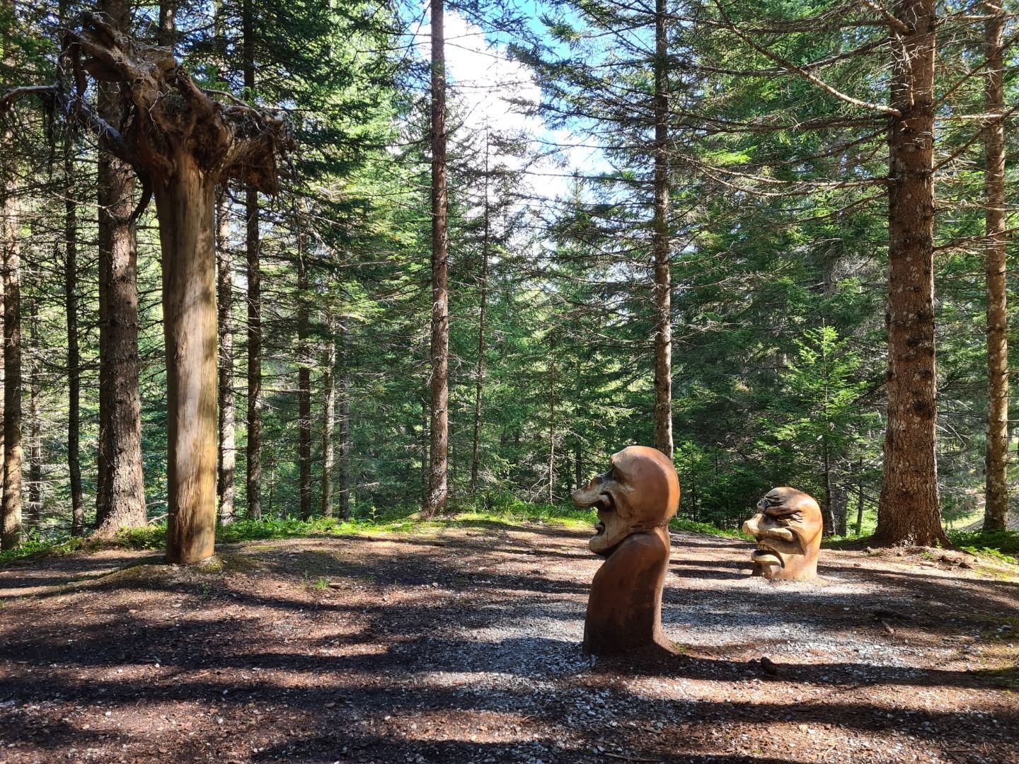
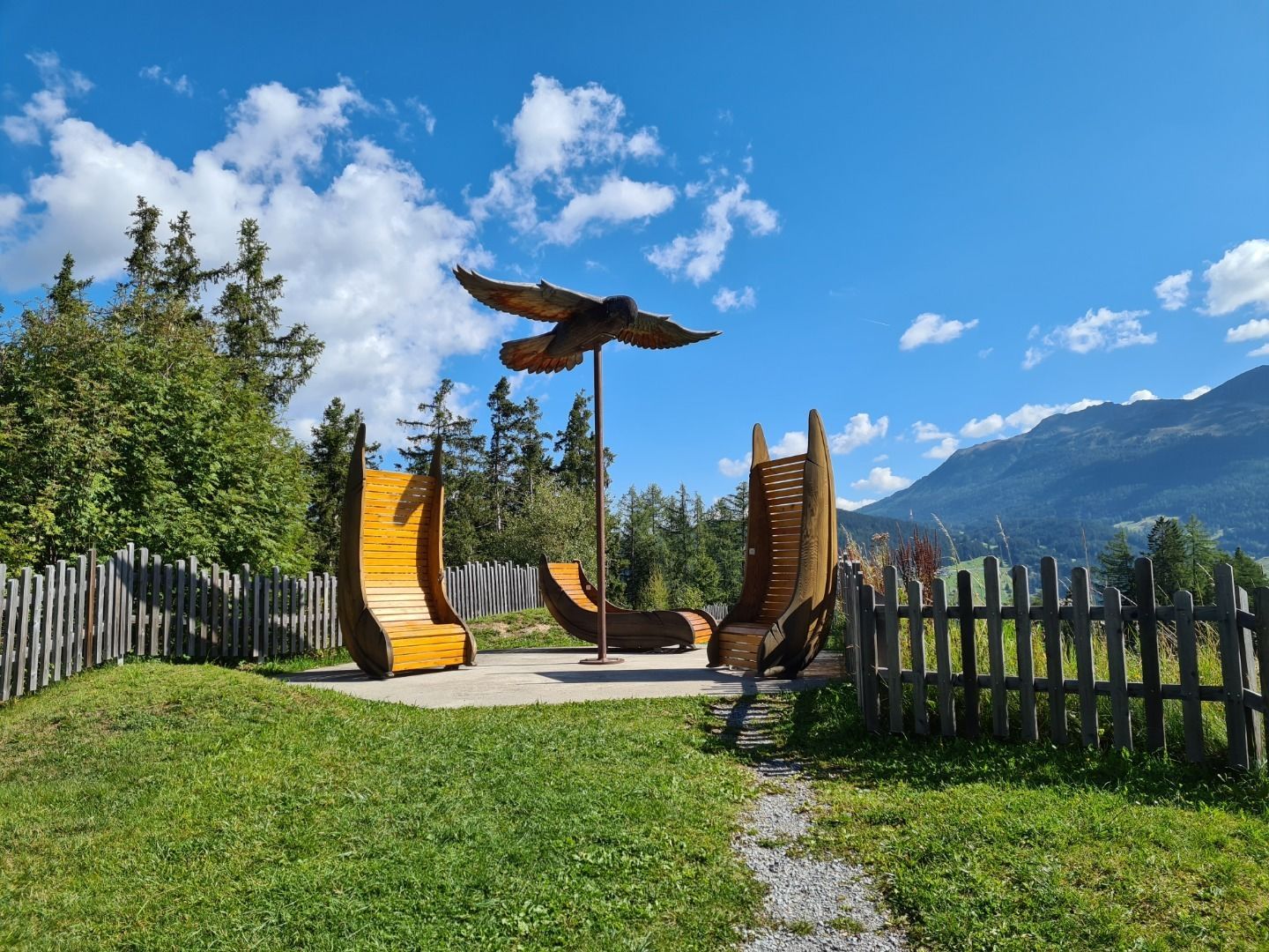
The Promenadenweg (Promenade Trail) from Obladis to Neuegg or to the Schöne Aussicht was initially laid out as a hiking trail for aristocratic guests (“lords”) of the Kurhotel of Obladis. It runs rather flatly along the wooded mountain slope. On both ends of the trail, you can stop for a snack.
Tour information

  • Requirement: easy
  • Length: 3.1 km
  • Duration: 1:00 h
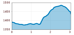
  • Elevation uphill:122 hm
  • Elevation downhill:75 hm
Highest point1,489 m

Starting point

Obladis

Finishing point

Wodeturm
  • Fitness level 1 / 6

Features

  • suitable for pushchairs

Best time of year

  • January
  • February
  • March
  • April
  • May
  • June
  • July
  • August
  • September
  • October
  • November
  • December
Source: Serfaus-Fiss-Ladis

Description

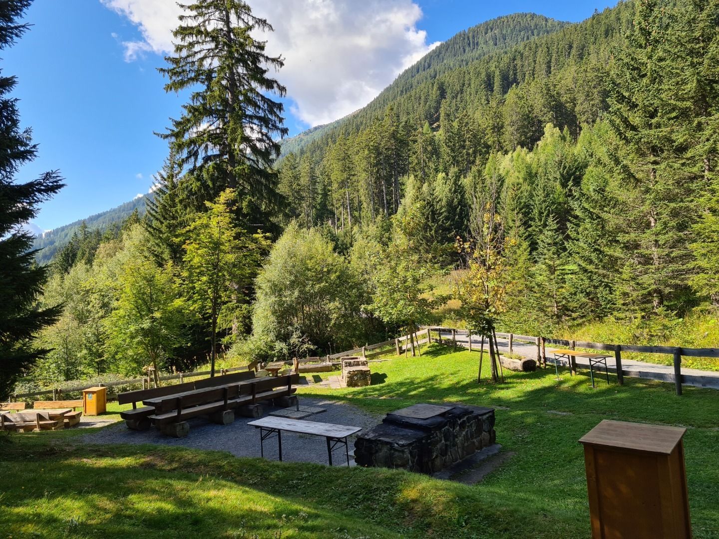
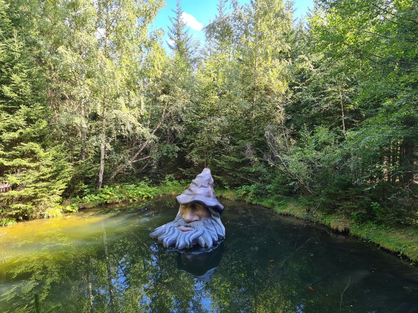
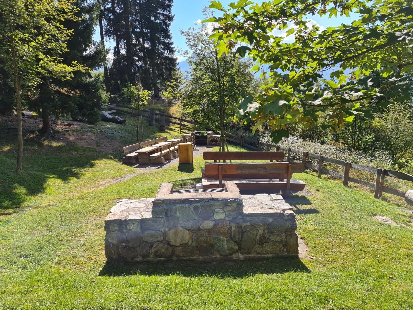
At the last serpentine before Café Obladis (L063) a short trail leads to a small campsite in the forest (L021). This is where the Herrenweg trail begins and leads along the same level towards the north, turn halfway right down on the road (L024) to Neuegg and past the Wodebad pond (L025) to the Wodeturm tower (L030). 

Getting here

  • Arrival by public transport

    Travel by train to Landeck-Zams railway station. From there, change to bus line 220 towards Serfaus-Fiss-Ladis.

  • Parking

    By car via the A12 motorway to the Landeck exit, then follow the B171 and L76 towards Ladis. In Ladis, follow the signs to the respective starting point of the tour.


    Parking is available in Ladis. Depending on the starting point of the tour, different car parks are available. The car parks are subject to a fee.

Weather

Today

mainly clear
13°C/4°C
5%0l5 km/h

Tue

mainly clear
16°C/3°C
40%0.4l5 km/h

Wed

partly Cloudy
17°C/8°C
35%0l5 km/h
Go to weather forecast

More tours in the surrounding area

  • Marmot Trail

    Opening hours:open
    Difficulty:easy
    Length:573 mDuration:0:20 hElevation uphill:12 m
  • Fiss to the Oberen Sattelkopf

    Opening hours:open
    Difficulty:medium
    Length:5.6 kmDuration:3:00 hElevation uphill:1,057 m
  • Forscherpfad

    Opening hours:open
    Difficulty:easy
    Length:3.4 kmDuration:1:30 hElevation uphill:219 m
  • Oberer Spinnsee

    Opening hours:open
    Difficulty:medium
    Length:11.2 kmDuration:5:00 hElevation uphill:427 m
  • Murmeltiersteig (Marmot alpine trail)

    Opening hours:open
    Difficulty:medium
    Length:6.9 kmDuration:3:00 hElevation uphill:302 m
  • Six Senses trail

    Opening hours:open
    Difficulty:easy
    Length:6.5 kmDuration:4:00 hElevation uphill:99 m
  • Wild Animals Trail

    Opening hours:open
    Difficulty:easy
    Length:1.5 kmDuration:0:31 hElevation uphill:1 m
  • Panorama - Genussweg

    Opening hours:open
    Difficulty:easy
    Length:5.1 kmDuration:1:15 hElevation uphill:42 m
Newsletter

The mountain is calling? So does our newsletter!

In our monthly newsletter we reveal the best holiday tips for Tyrol.