
Opening hours:Open today
Place:Leutasch
:Alpine pasture / hut / mountain restaurant
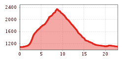
Challenging mountain hike from Leutasch to Gehrenspitze (2,367 m), through the pristine Puittal in the Wetterstein Mountains, with impressive views of the Leutasch Valley, Karwendel Mountains, Hohe Munde, and surrounding peaks.
Mountain path, forest road, forest path, meadow path, root path and gravel path.
All current information about the trail closures in the Region Seefeld can be found here.
Have you been out and about in the Region and discovered a spot that we should rework or repair? Fill out the form "Report a danger zone" and let us know where work is needed.
Sturdy hiking shoes, functional clothing, a backpack, water, snacks, alpine experience, and sure-footedness are necessary for this tour!
Also recommended: a hiking map or GPS, a first aid kit, sun protection, hiking poles, and an emergency blanket.
Very long hike that requires good physical condition.
Attention: The Wetterstein Hut remains closed until further notice.
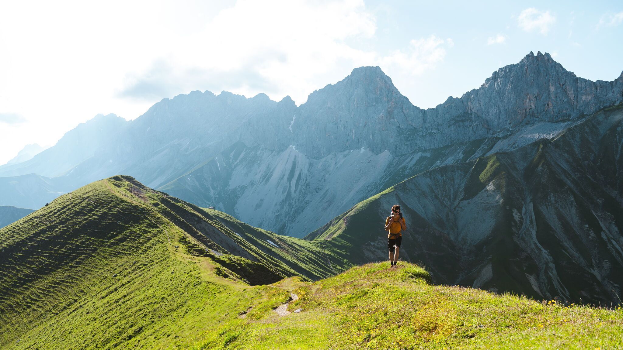
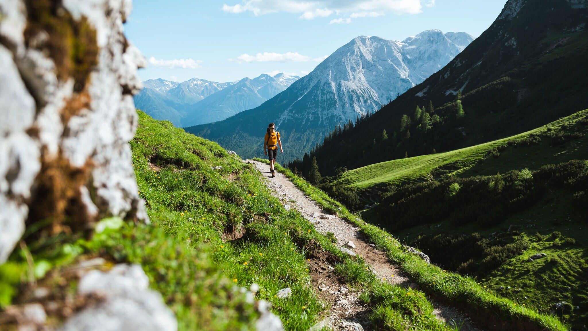
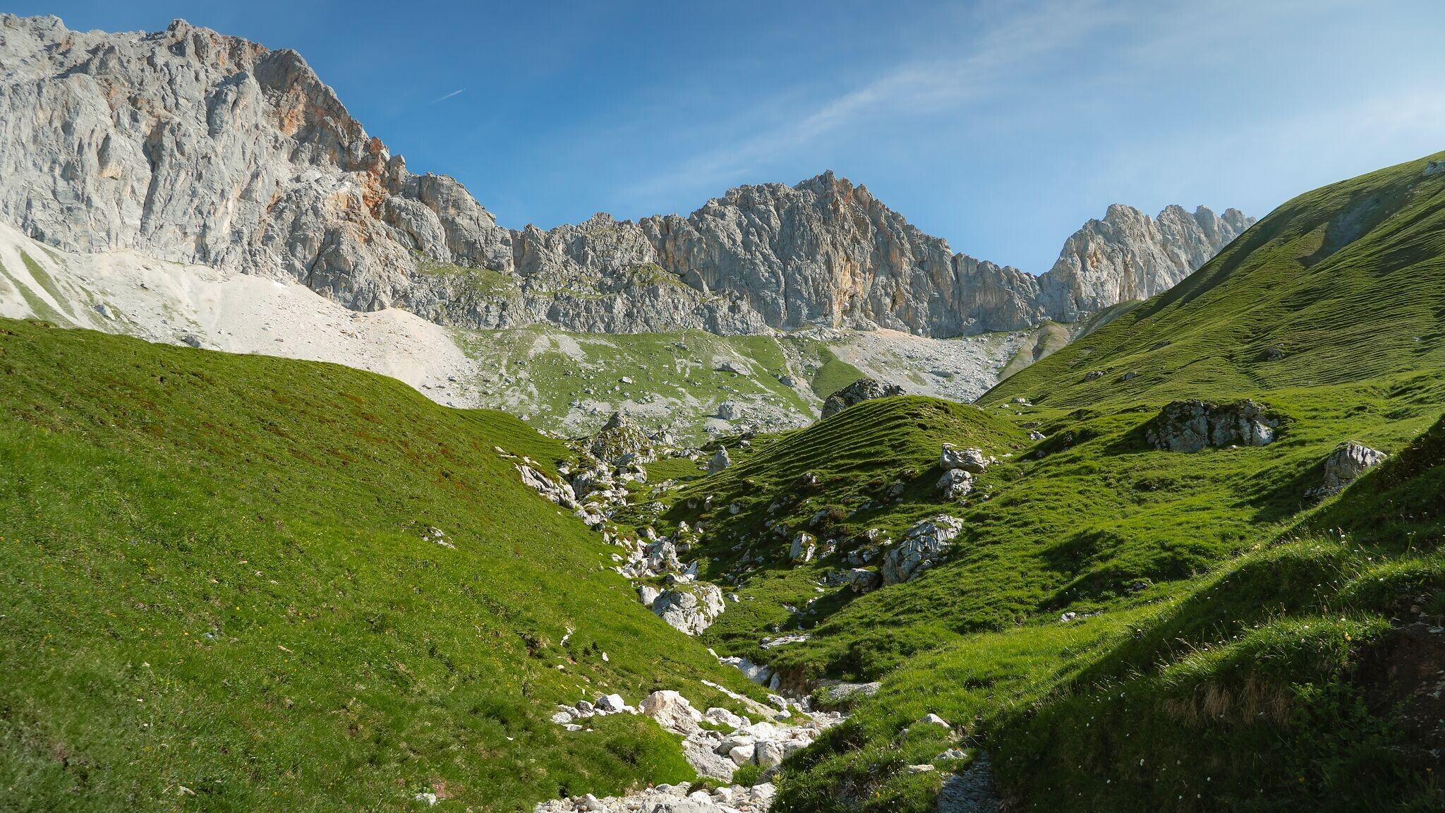
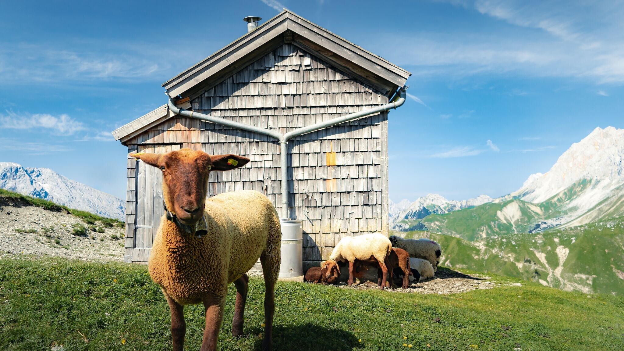
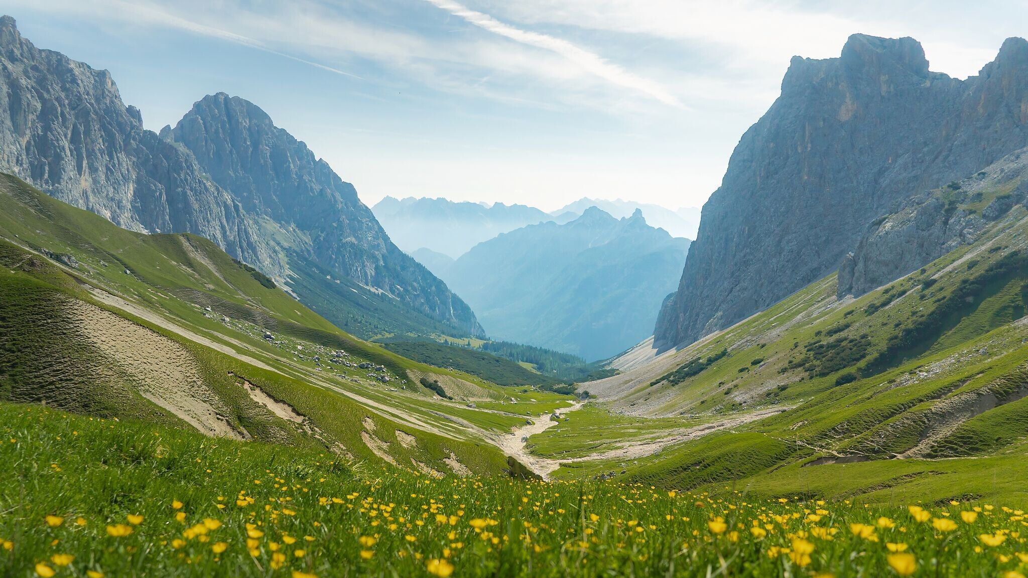
The starting point for the hike to the Gehrenspitze is the Puitbach/Ahrn parking lot (P13) in Leutasch (fee required). From here, follow the signs to the left along the path to the Puittal valley. This valley delights with untouched nature and paradisiacal views of the surrounding mountains. Under the high towers of the Öfelekopf, the Leutascher Dreitorspitze and the walls of the Gehrenspitze, you climb further and further up through the lush green valley. The flora and fauna with countless mountain herbs is also unique. With a little luck, you will encounter chamois or marmots that call the Puittal their home.
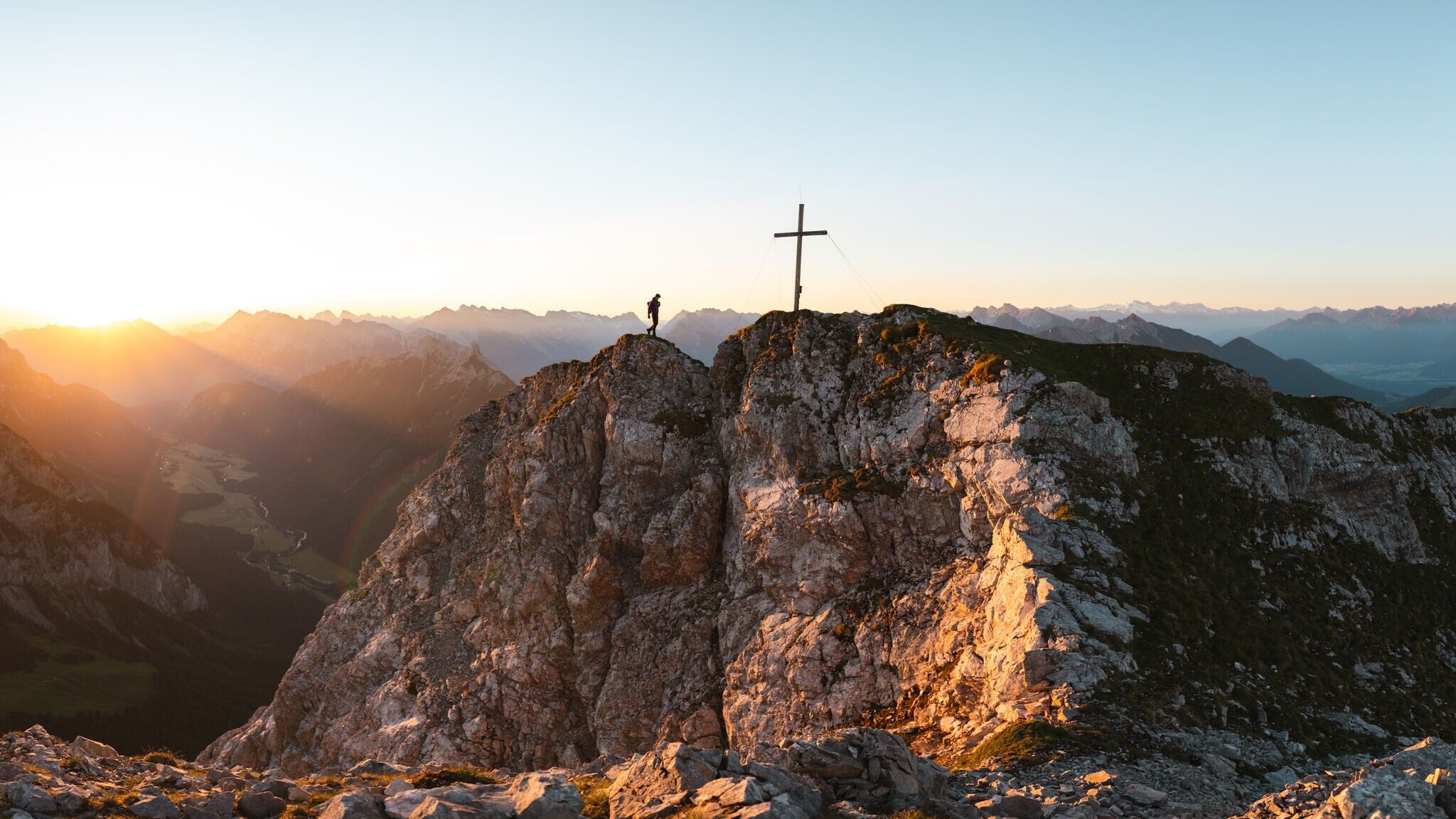
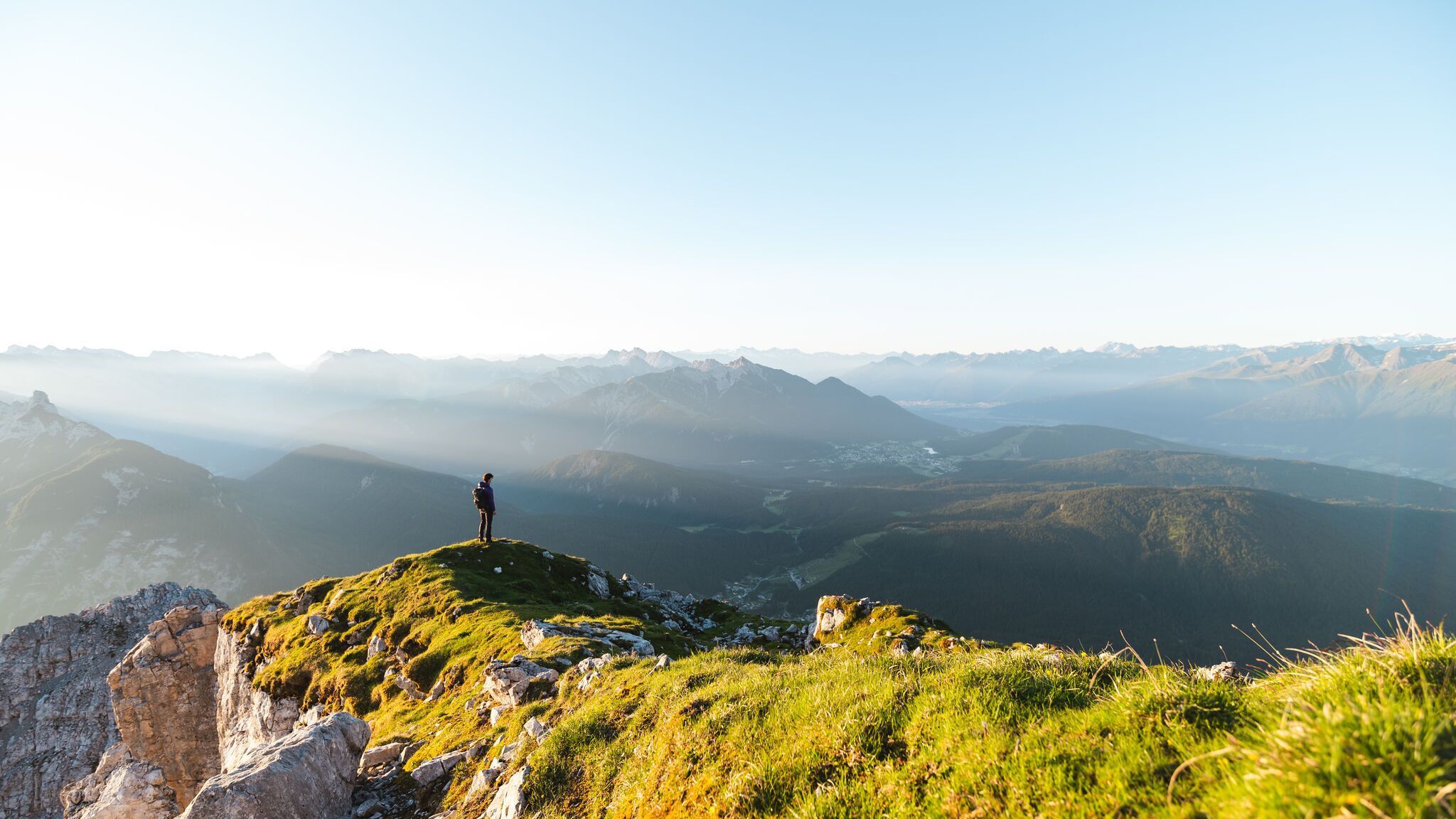
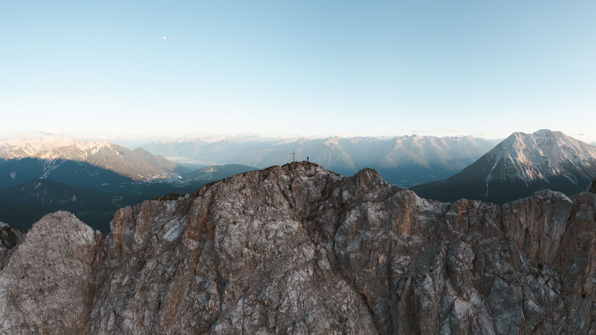
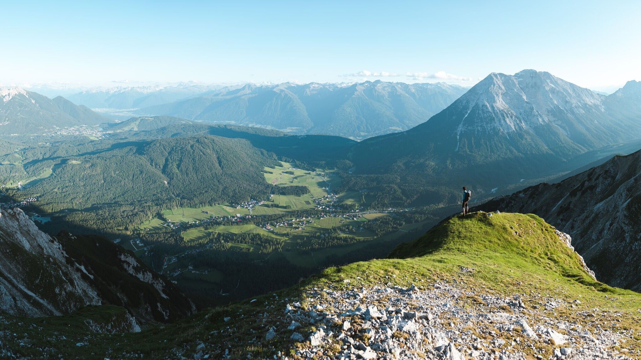
At first, you have to overcome a few steep meters in altitude, but these pay off at the Scharnitzjoch at the latest. After about 3 hours you reach it and can look forward for the first time to magnificent views of the Gaistal. Also the Wangalm and Wettersteinhütte can now be seen from here. The trail continues via the small Erinnerungshütte (not managed) towards the summit of the Gehrenspitze. The path becomes narrower and is partly exposed. Good surefootedness and a head for heights are necessary here. Once at the summit, the panoramic views are overwhelming: you overlook the Leutasch valley, the Karwendel mountains and the Hohe Munde.
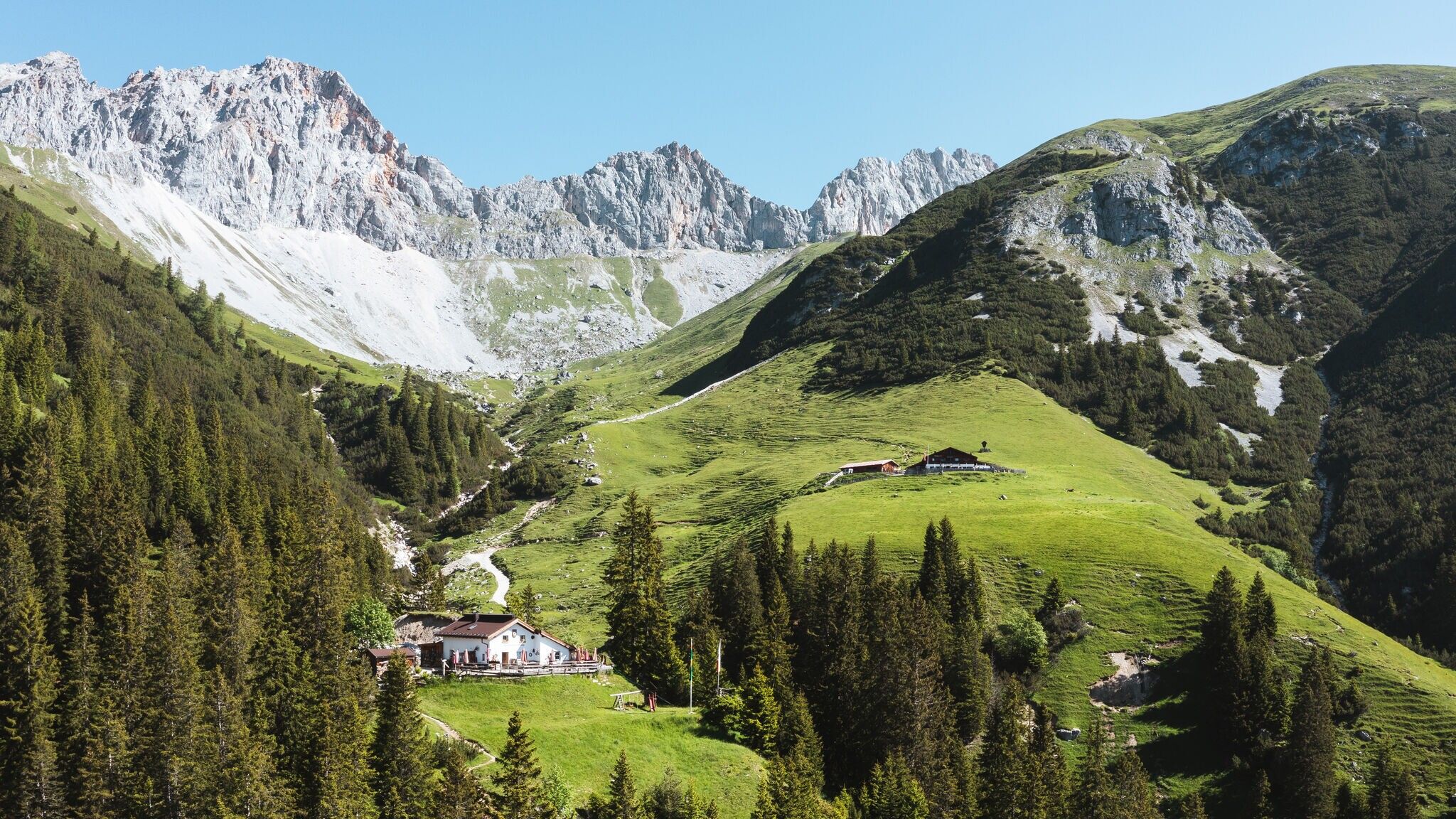
The descent can either be done via the same route or via the Wangalm (operational) and the Wettersteinhütte (not operational). The Wangalm offers a beautiful sun terrace, a cozy parlor, excellent cuisine, and warm hospitality. From here, you can descend all the way to Gaistal.
At the entrance to the Gaistal, a visit to the wildly beautiful natural Kneipp facility on the Leutascher Ache (between the hiking parking lots P4 and P5) is recommended as a regenerative end to the hike, before taking the optional hiking bus from there to the starting point.
Take the bus to Leutasch and get off at the 'Puitbach' bus stop.
All real-time connections can be found in the route planner.


.jpg")
 (2).jpg")


.jpg")
.jpg")


.jpg")

.jpg")


