

Place:Scharnitz
:Alpine pasture / hut / mountain restaurant
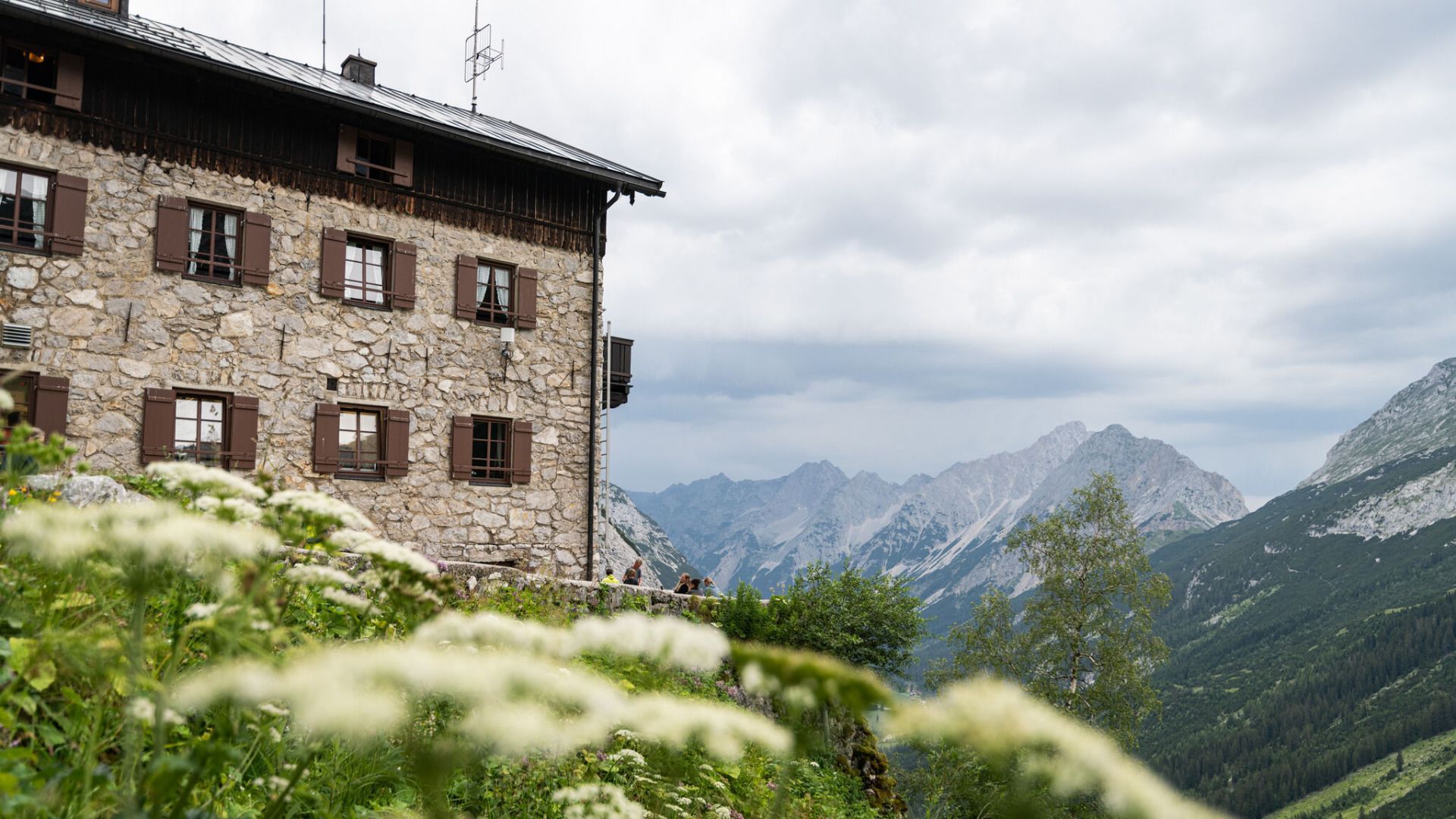
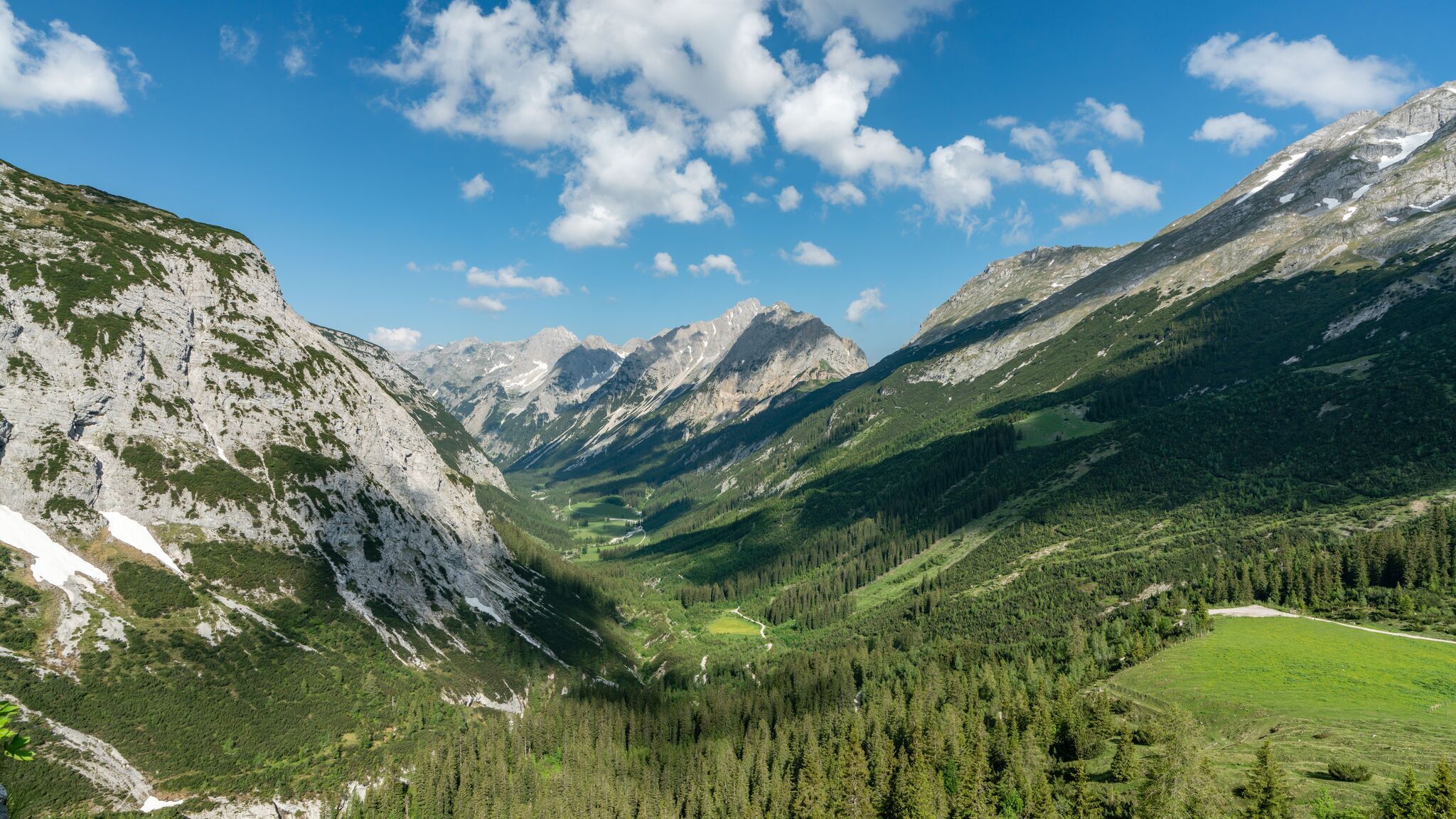
Physically demanding hike from Scharnitz through the picturesque Karwendel Valley to the Karwendelhaus (1,765 m), offering impressive views of the surrounding mountain landscape.
Forest roads and gravel trails.
All current information about the trail closures in the Region Seefeld can be found here.
Have you been out and about in the Region and discovered a spot that we should rework or repair? Fill out the form "Report a danger zone" and let us know where work is needed.
Sturdy hiking shoes, functional clothing, a backpack, water, snacks, alpine experience, and excellent physical fitness are essential for this tour!
Also recommended: a hiking map or GPS, a first aid kit, sun protection, hiking poles, and an emergency blanket.
The hike to the Karwendelhaus at 1,765 metres is one of the classic, long hut hikes in the Karwendel Nature Park. The route is technically easy, but due to its length it requires a very good level of basic fitness.
The starting point is the Nature Park Information Centre in Scharnitz, a central gateway for tours into the Karwendel valleys in the Karwendel mountains. From there, the route initially follows the Hinterautal road towards the Karwendel valleys.
After around 500 metres, the Isar is crossed via a bridge. Immediately afterwards, follow the signs into the Karwendel Valley. Behind the bridge, the trail leads slightly uphill to the left. After a short ascent of around 50 vertical metres, you reach a fork in the path where you follow the signs to the right into the Karwendel Valley. From this point onwards, the long hike through one of the most pristine valleys in the Karwendel begins.
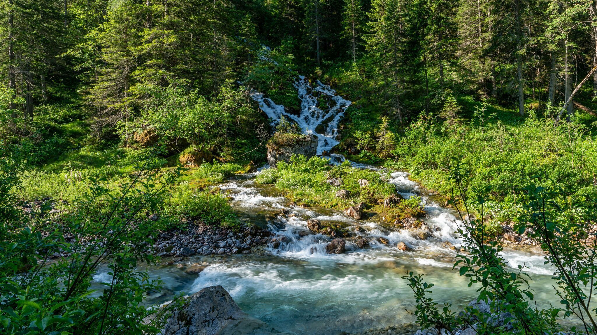
Along the way, two short detours are worthwhile: the Birzlkapelle Chapel can be reached in around 5 minutes and lies quietly in the forest. The Karwendelsteg footbridge follows after another 10 to 15 minutes and offers a view of the waterfall of the Karwendelbach stream.
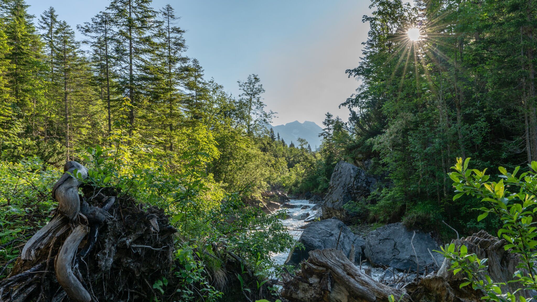
After these detours, the route continues along a forest road through the wide Karwendeltal Valley in the Karwendel Nature Park. At first, the trail is steady and easy to walk. The valley opens up into an alpine landscape with striking rock faces, mountain forests, alpine meadows and the Karwendelbach stream, which accompanies the hike for long stretches. At easily accessible spots, the stream offers repeated opportunities for a short, refreshing break.
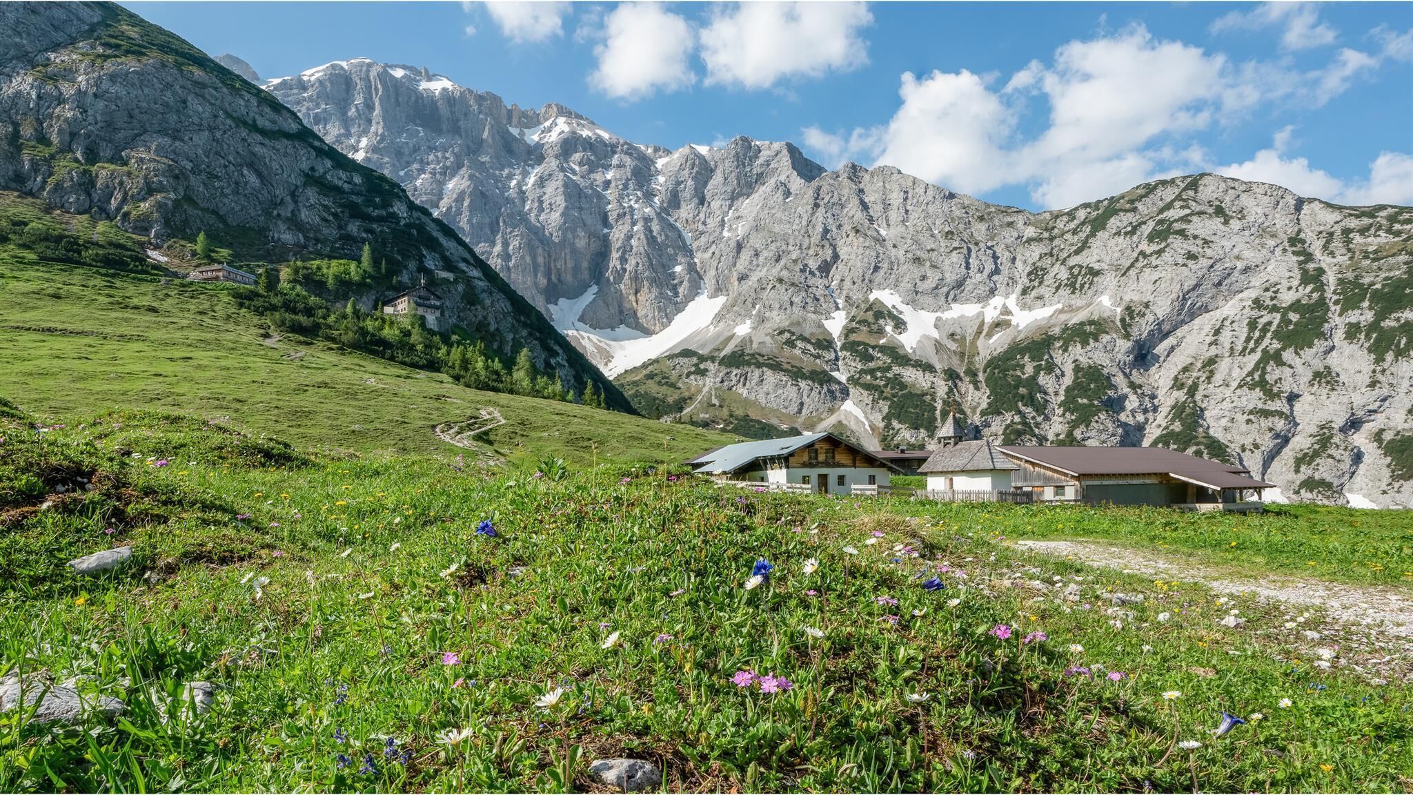
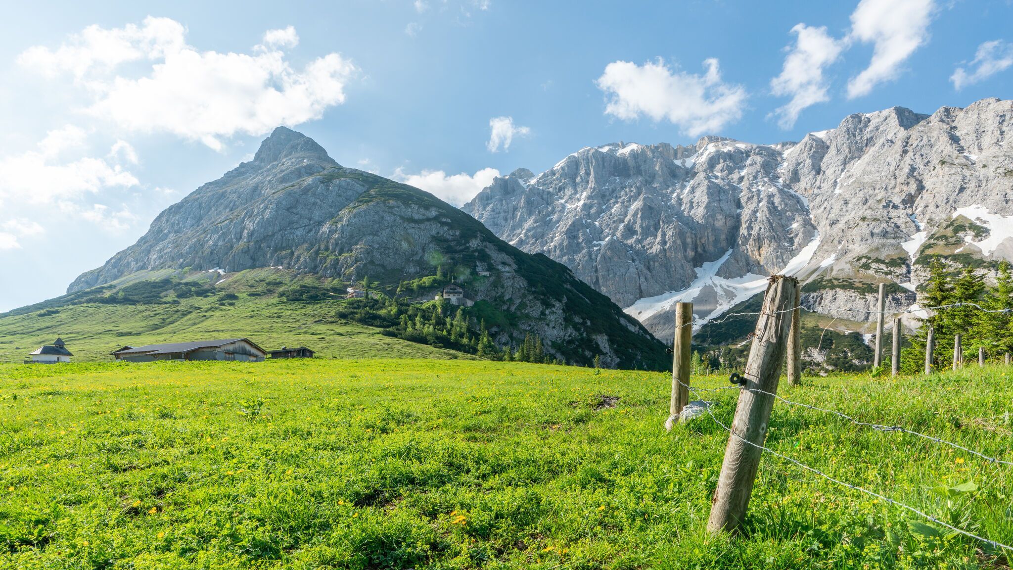
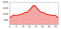
Although the route is technically easy, this stage should not be underestimated. The trail initially climbs only moderately, but its length requires a good level of basic fitness. In the upper section, the ascent becomes noticeably steeper. The final stretch up to the Karwendelhaus leads uphill in wide switchbacks, passing the unmanaged Hochalm with the Hochalmkapelle Chapel and idyllic alpine pastures.
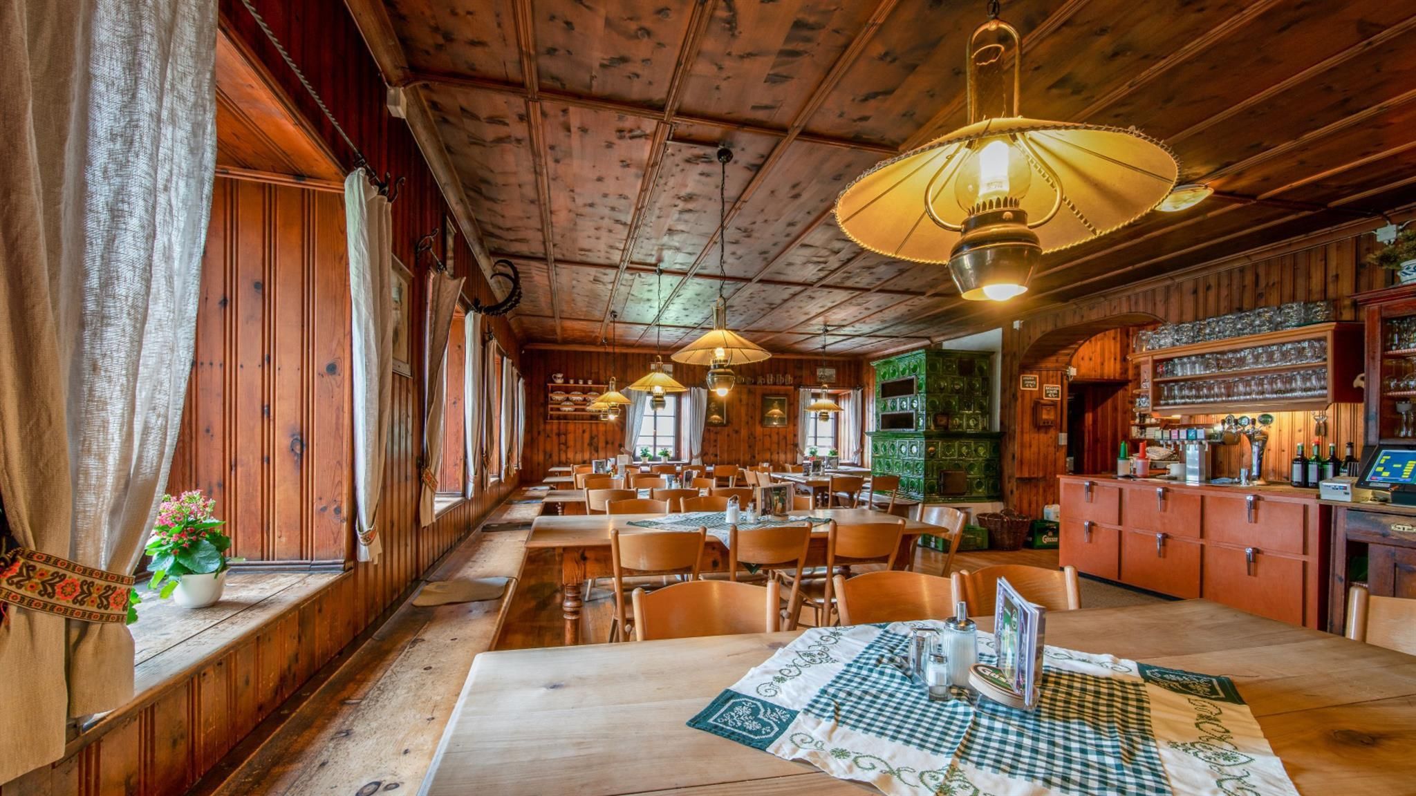
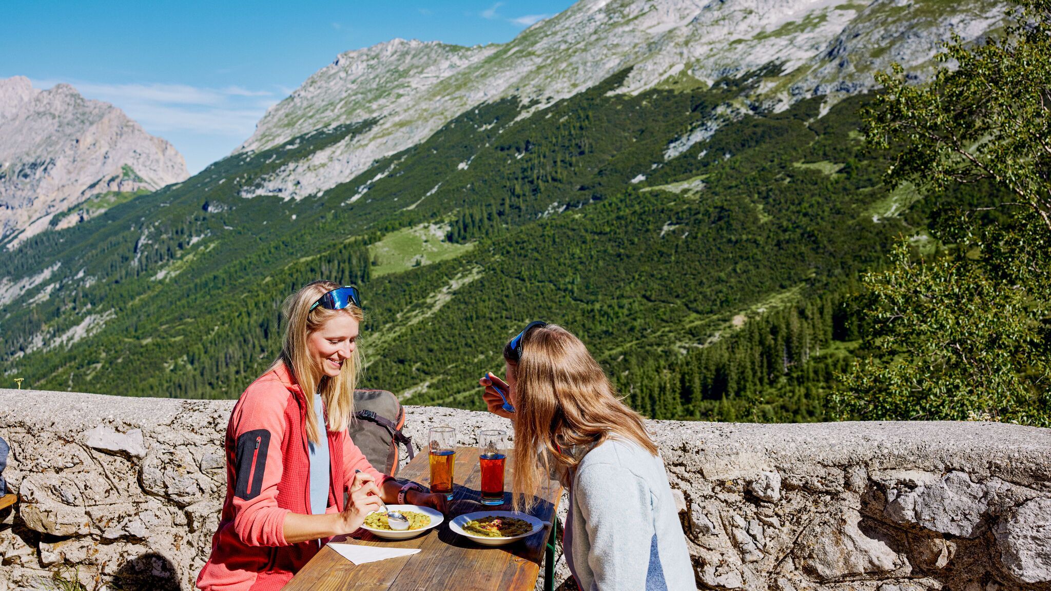
After around 18 kilometres, you reach the Karwendelhaus. The hut offers a place to rest with views of the Karwendel mountain scenery and the surrounding Karwendel Valley. The return follows the same route.
By train to Scharnitz train station, then a 10-minute walk to the starting point at the Nature Park Information Center.
All real-time connections can be found in the route planner.


