
Opening hours:Open today
Place:Scharnitz
:Snack bar / StreetFood
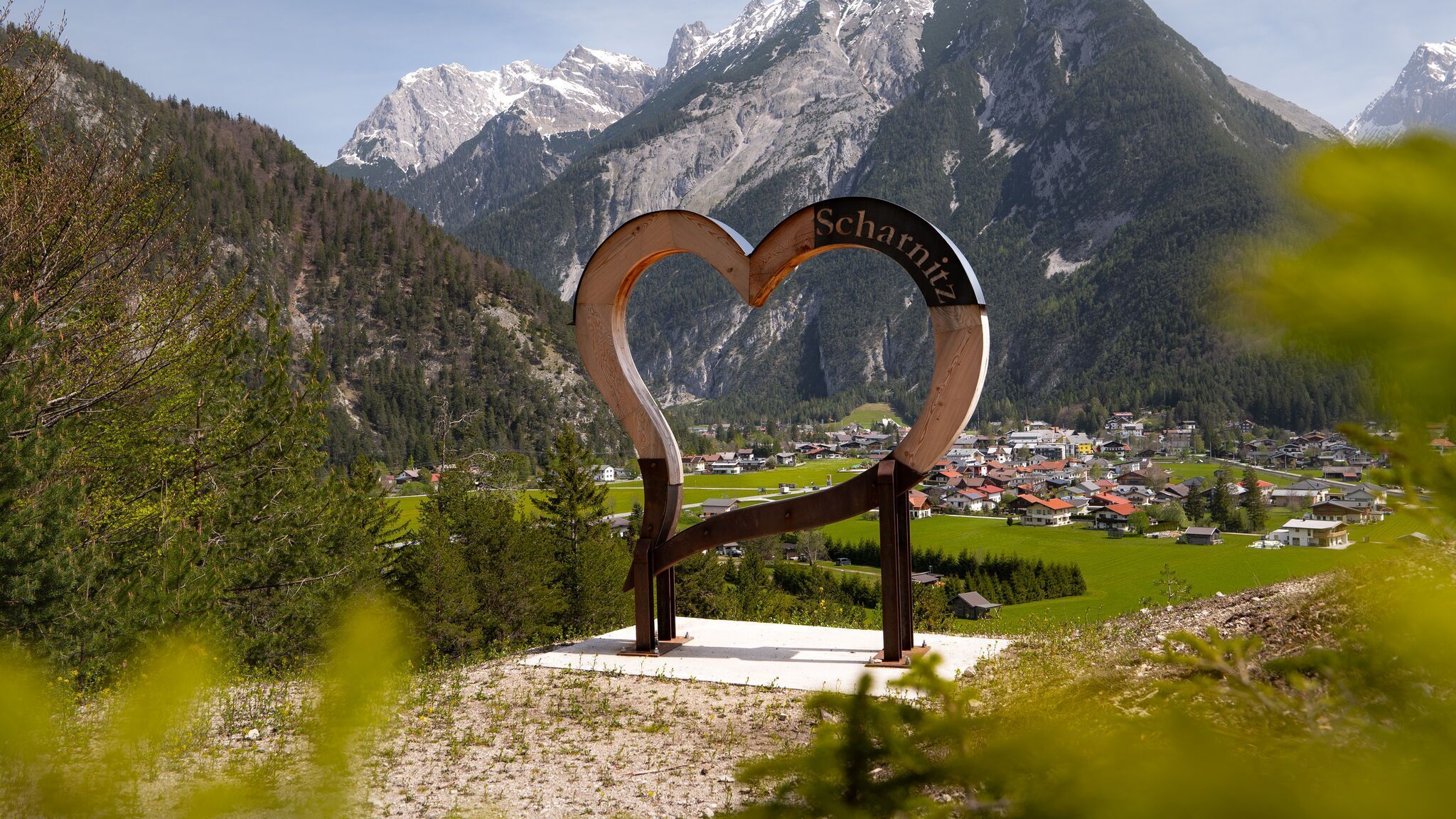
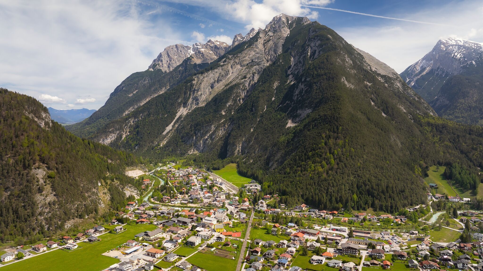
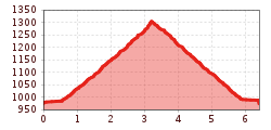
Moderate hike from Scharnitz to Mühlberg (1,315 m), passing the heart viewing platform with splendid views of Scharnitz and the surrounding mountains.
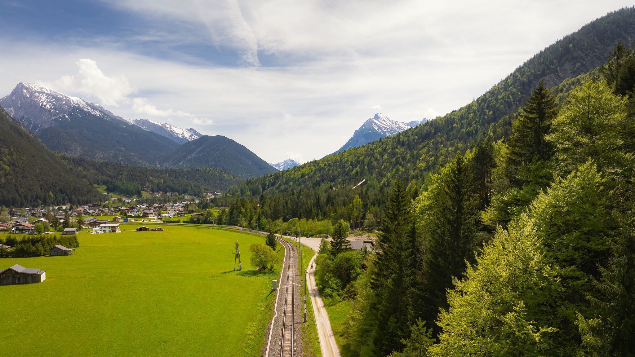
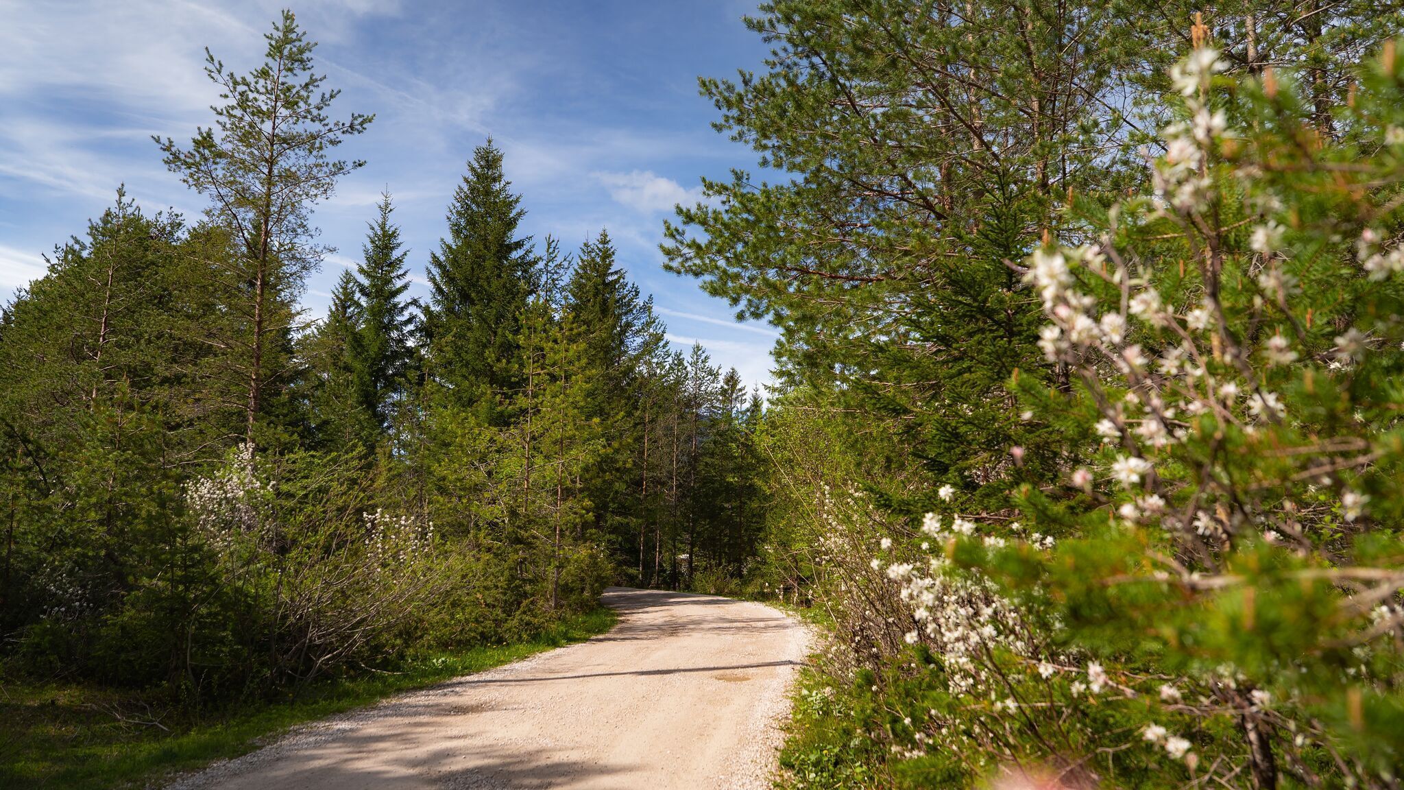
Forest roads, woodland paths, and gravel trails.
All current information about the trail closures in the Region Seefeld can be found here.
Have you been out and about in the Region and discovered a spot that we should rework or repair? Fill out the form "Report a danger zone" and let us know where work is needed.
Sturdy hiking shoes, functional clothing, a backpack, water, snacks, basic fitness, and sure-footedness are recommended for this hike.
Additionally, a hiking map or GPS, a first aid kit, sun protection, and hiking poles are advisable.
The starting point is at the Mühlberg parking lot P4. First, follow the railroad tracks towards Gießenbach/Seefeld until the forest road turns sharply left. Continue on this forest road up to the plateau and the former lift station. On the way to Mühlberg, there is also a Heart viewing platform, which offers a wonderful view of Scharnitz and the surrounding mountains. After this short detour, return to the hiking trail where you will be rewarded with a panoramic view at the top of the Mühlberg. Return via the same path. As a variation, sure-footed hikers can take a path through the so-called Bärenklamm gorge. This path starts approximately 100 meters before the Mühlberg parking lot and ascends along a narrow trail with steep hairpin bends (a small stream must be crossed once). After a while, the path rejoins the forest road as described above.
Take the train to Scharnitz Railway Station, then it's a 15-minute walk to the starting point at parking area P4 "Mühlberg".
All real-time connections can be found in the route planner.


.jpg")

.jpg")


.jpg")
.jpg")
.jpg")


.jpg")
 Olympiaregion Seefeld")


.jpg")


