
Opening hours:Today closed
Place:Scharnitz
:Alpine pasture / hut / mountain restaurant
Moderate hike from Scharnitz through the picturesque Hinterautal to the source of the Isar River, continuing to the rustic Kastenalm, which offers a cozy rest stop.


Forest roads and gravel trails.
All current information about the trail closures in the Region Seefeld can be found here.
Have you been out and about in the Region and discovered a spot that we should rework or repair? Fill out the form "Report a danger zone" and let us know where work is needed.
Sturdy hiking shoes, functional clothing, a backpack, water, snacks, sure-footedness and excellent physical fitness are essential for this tour!
Also recommended: a hiking map or GPS, a first aid kit, sun protection, hiking poles, and an emergency blanket.
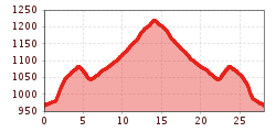
The hike begins at the Nature Park Information Center in Scharnitz, located right by parking lot P2. From here, the trail follows the Hinterautalstraße straight into the Hinterautal valley. After about 2.5 kilometers, the paved road transitions into a forest path that continues through the picturesque valley. The trail gradually ascends, leading to the Gleirschhöhe, a viewpoint marked with a cross that offers stunning views of the surrounding mountains.
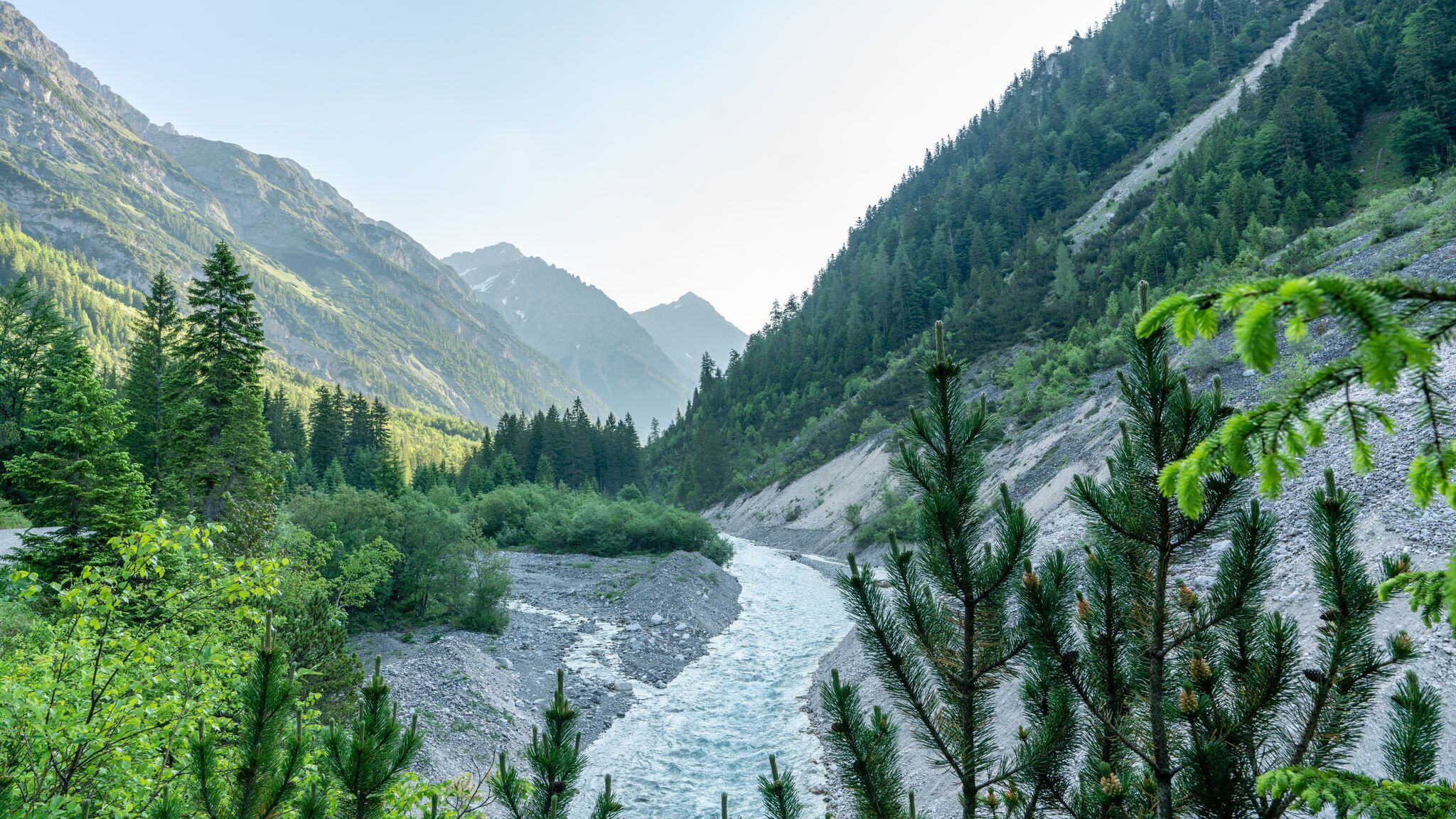
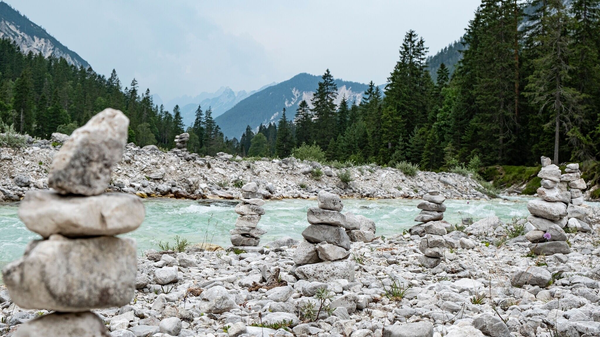
From the Gleirschhöhe, the path turns left and continues towards the Isarursprung (the source of the river Isar) and Kastenalm. A short descent brings hikers into the valley floor, where the landscape opens up, and the clear, rushing waters of the Isar accompany the trail. This section of the hike is particularly charming, as the crystal-clear river becomes a constant companion, winding through pristine nature.
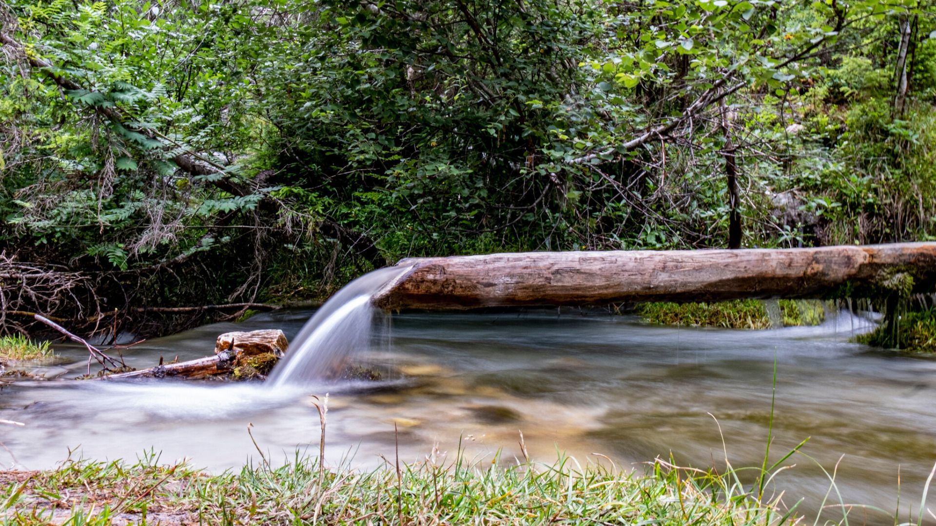
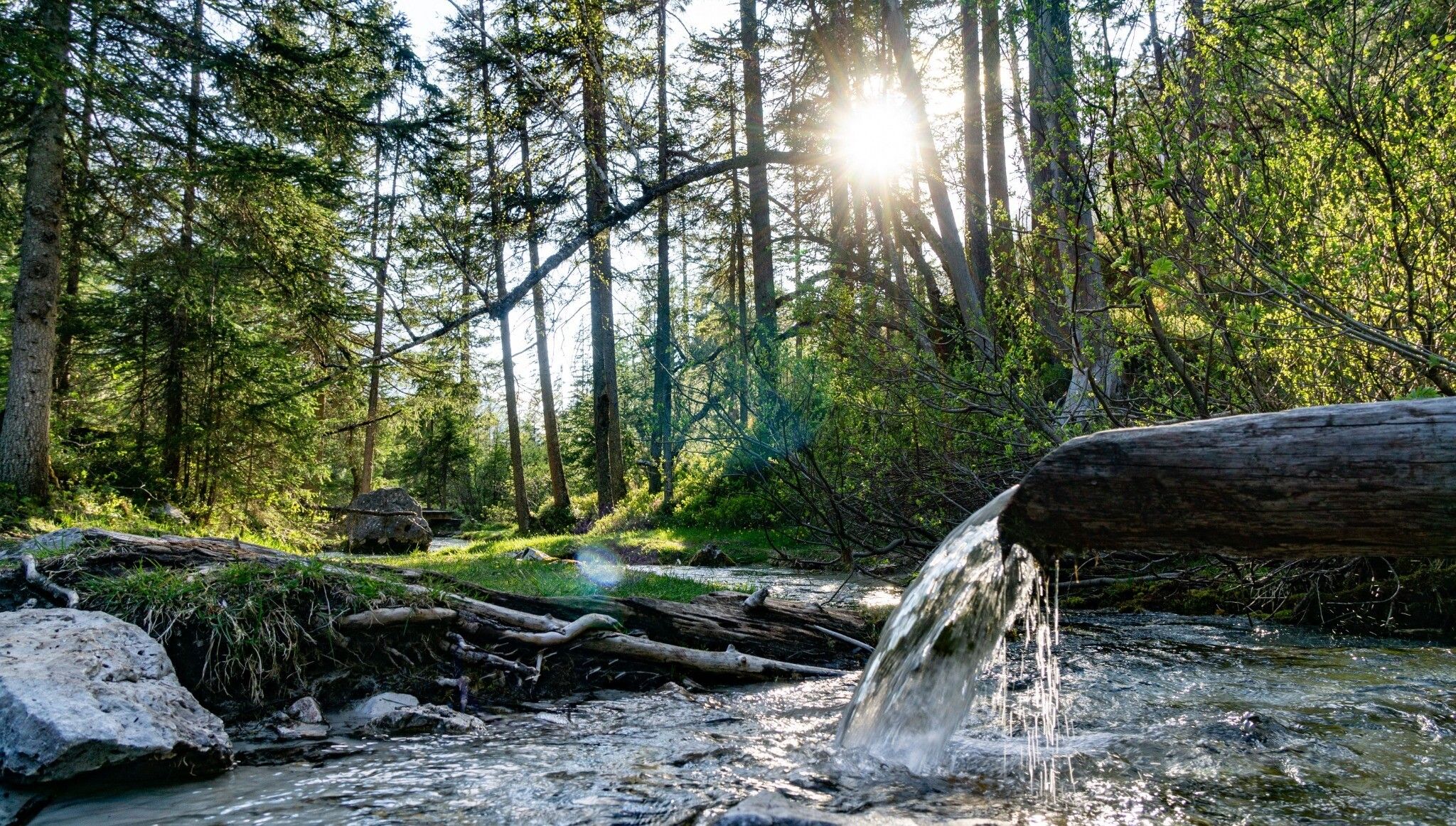
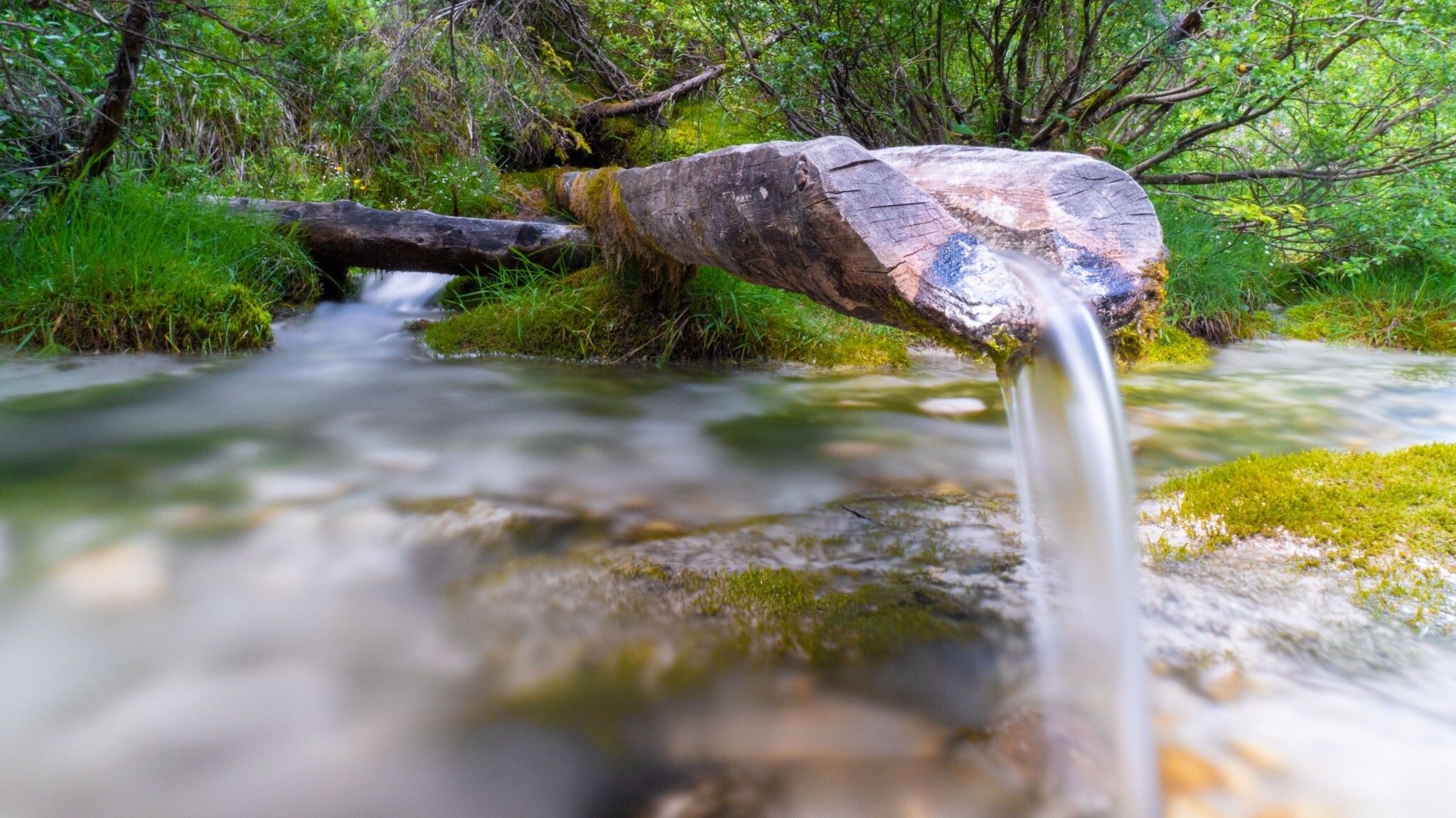
The highlight of the tour is the Isar spring – an exceptionally beautiful source where water emerges directly from the ground to form the young Isar. This is a perfect spot to pause, soak in the tranquility, and appreciate the purity of this special place.
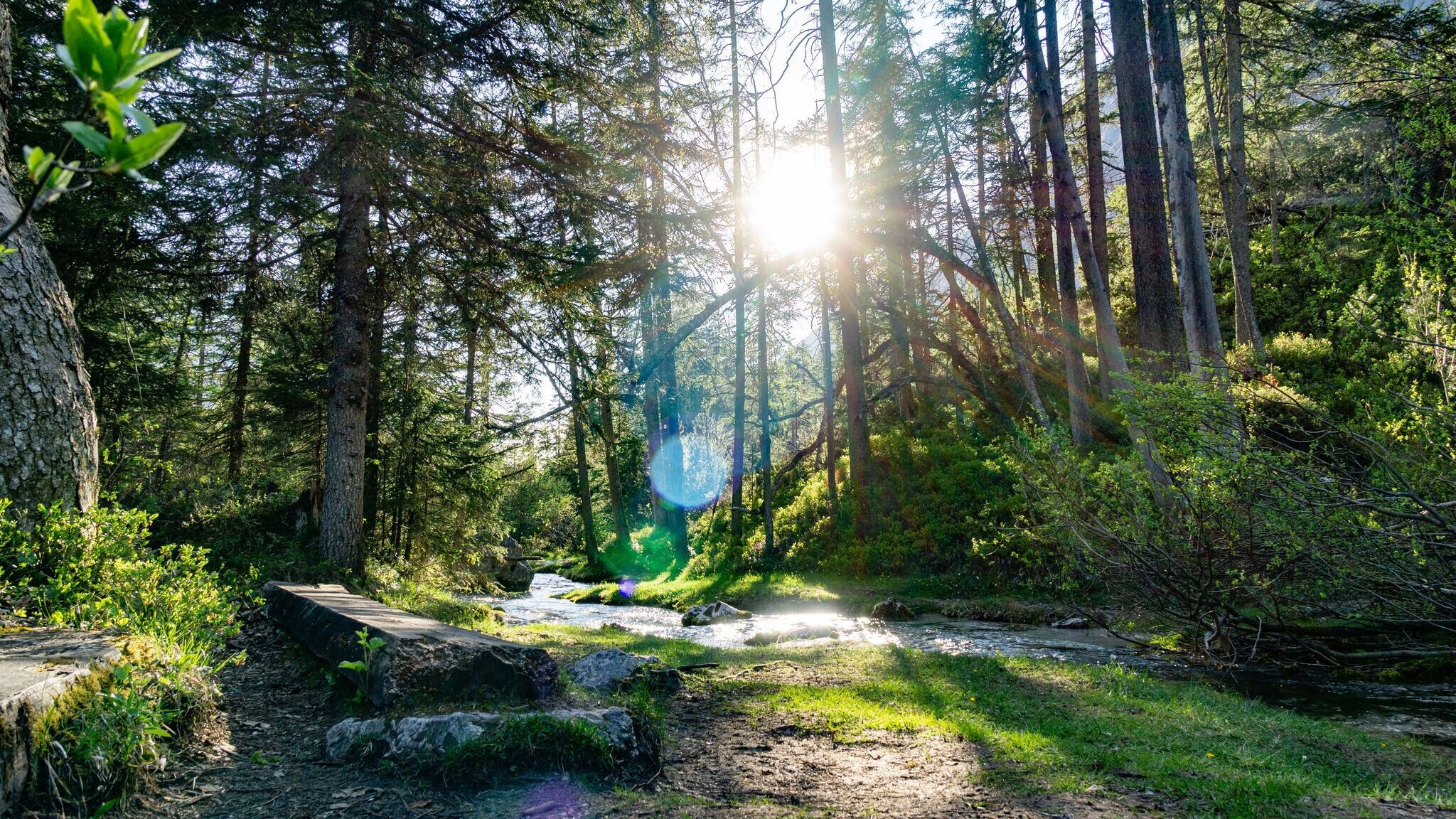
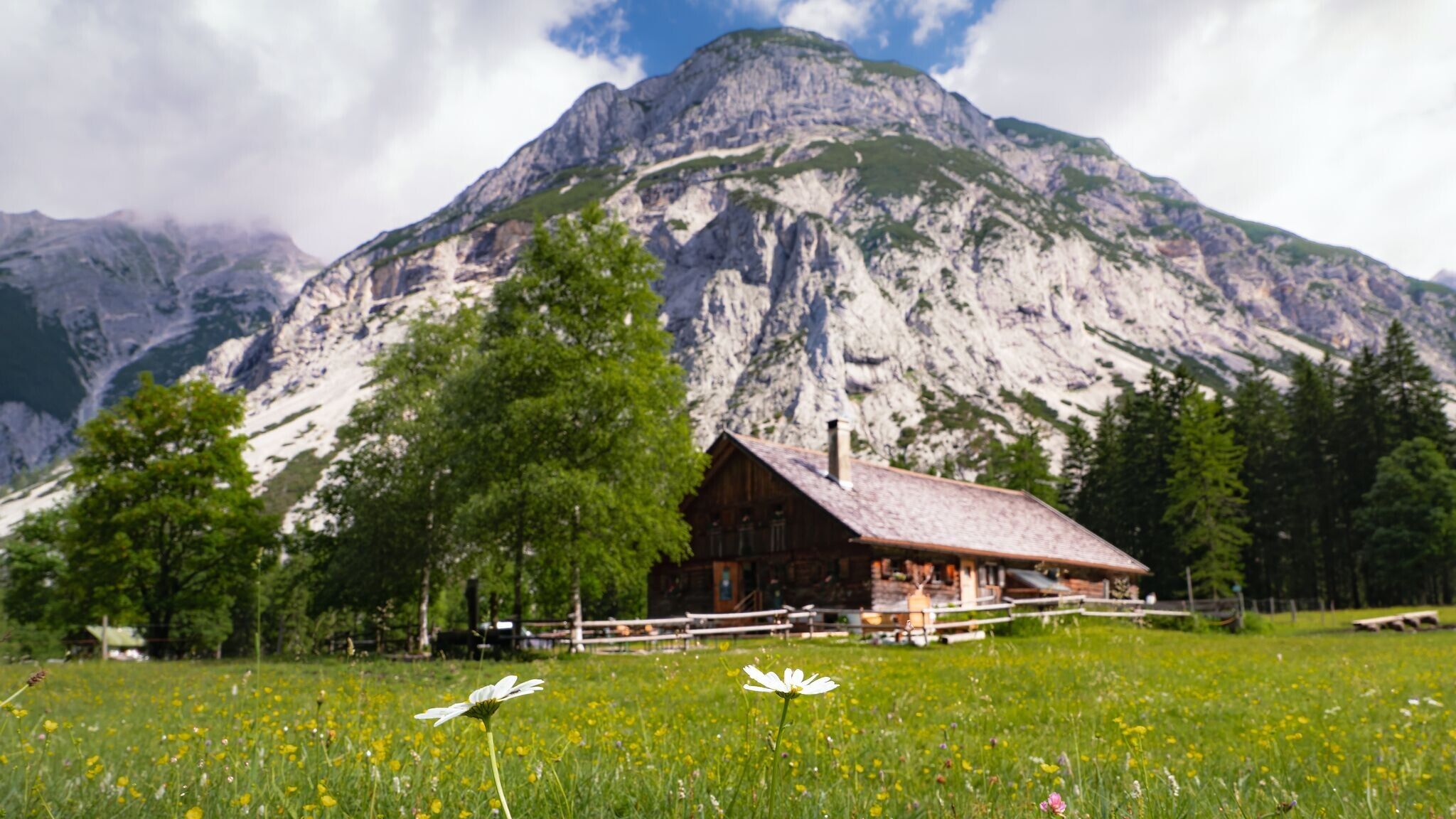
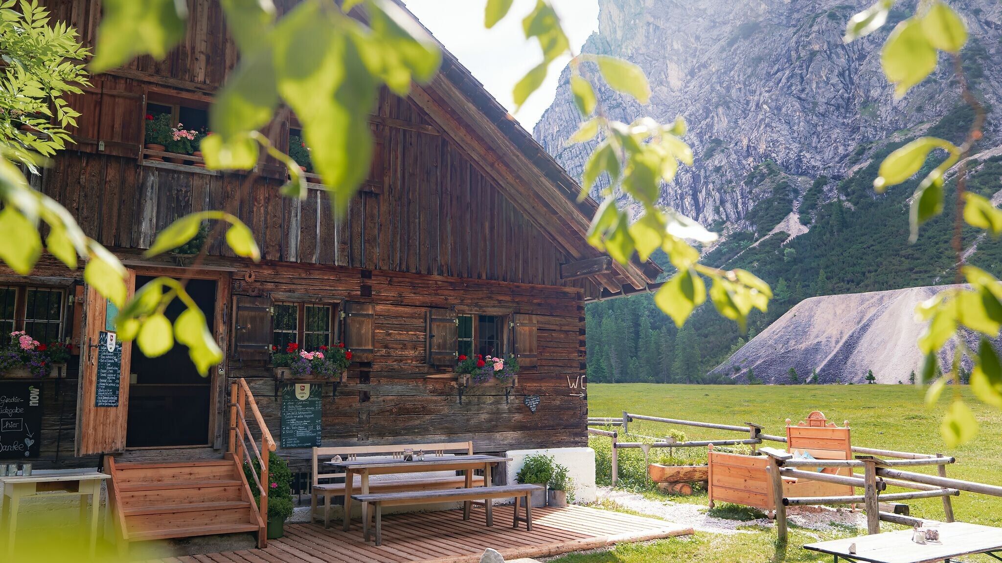
From the spring, it’s another 2 kilometers to the Kastenalm, which is open during the summer months and offers a welcoming spot to rest. The return follows the same route, bringing hikers back to the Nature Park Information Center in Scharnitz, enriched by the many impressions of the Hinterautal valley.
By train to Scharnitz train station, then a 10-minute walk to the starting point at the Nature Park Information Center.
All real-time connections can be found in the route planner.


.jpg")


.jpg")

.jpg")


 Olympiaregion Seefeld")


.jpg")


.jpg")
.jpg")
.jpg")

.jpg")


