
Opening hours:Open today
Place:Scharnitz
:Snack bar / StreetFood
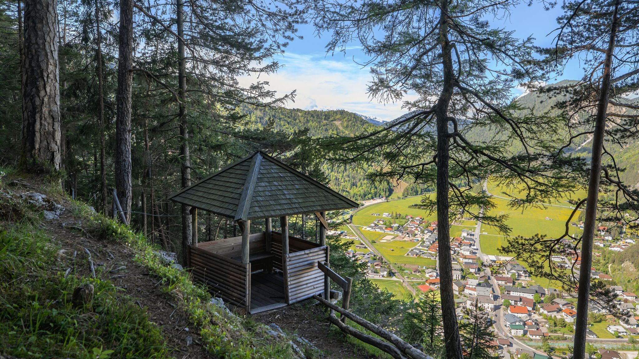
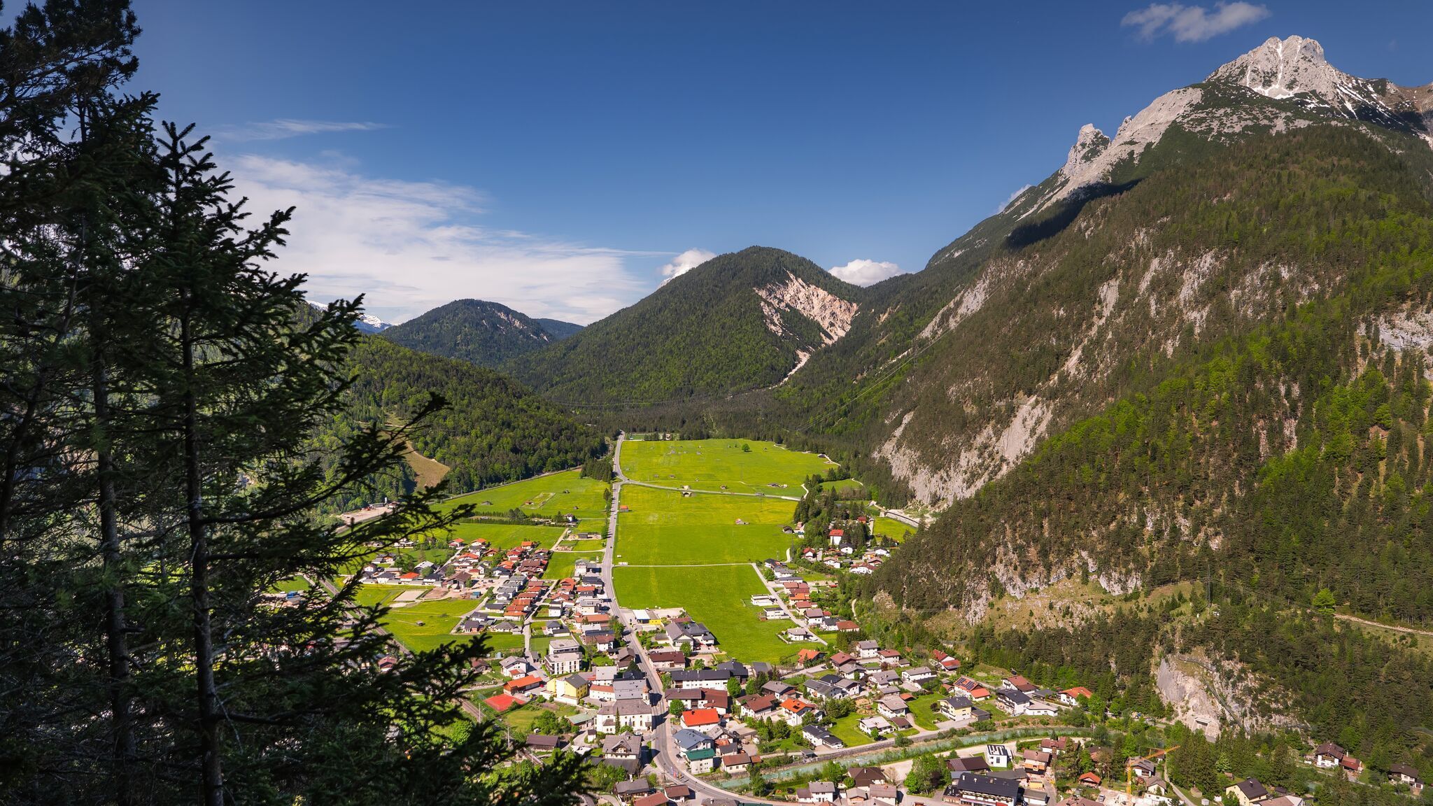
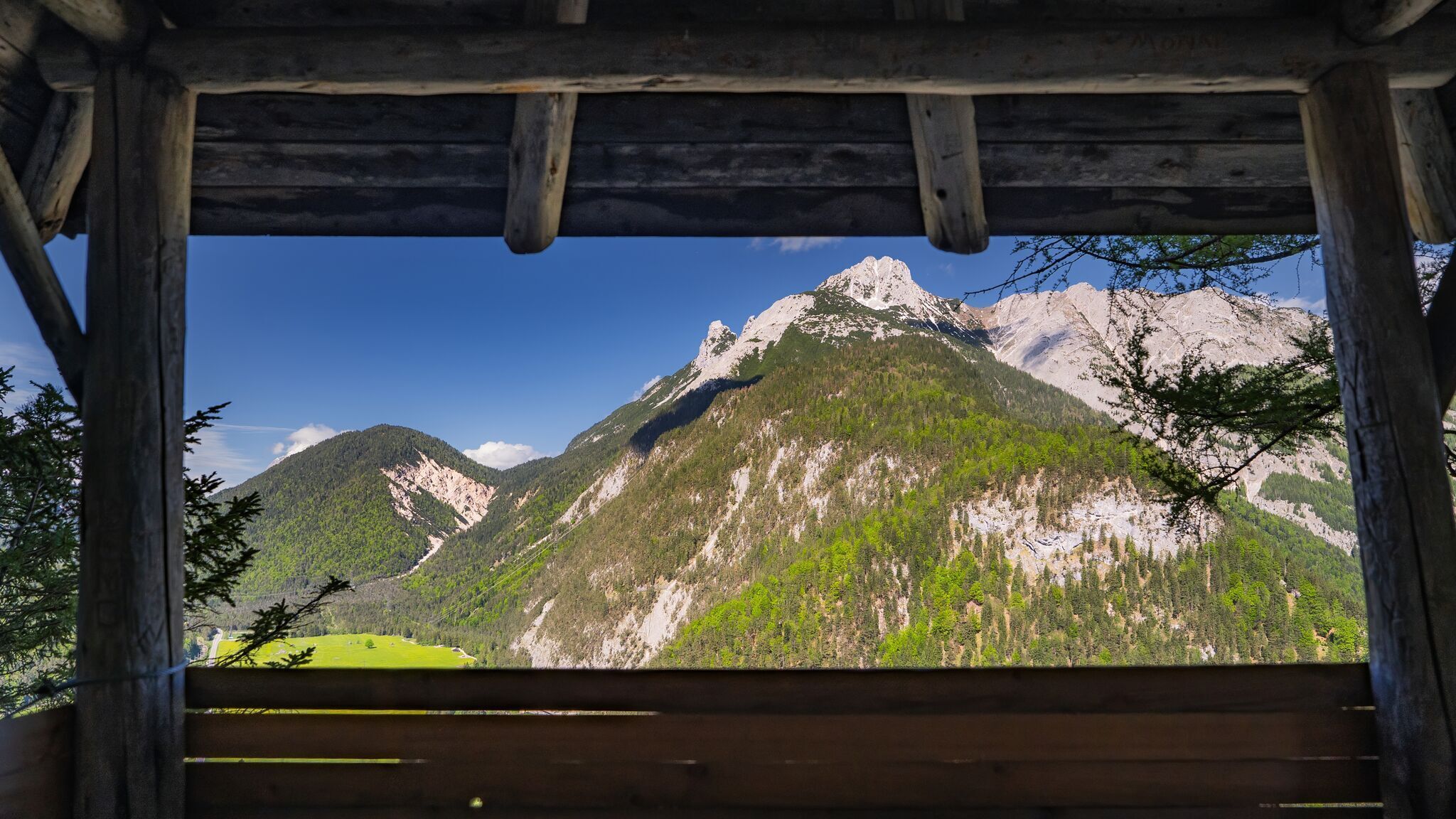
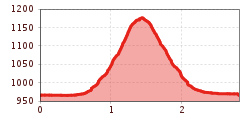
Moderate hike from Scharnitz to the Adlerkanzel, a viewpoint with a pavilion offering a splendid panoramic view over the entire village, the Isar, and the Austrian-German border.
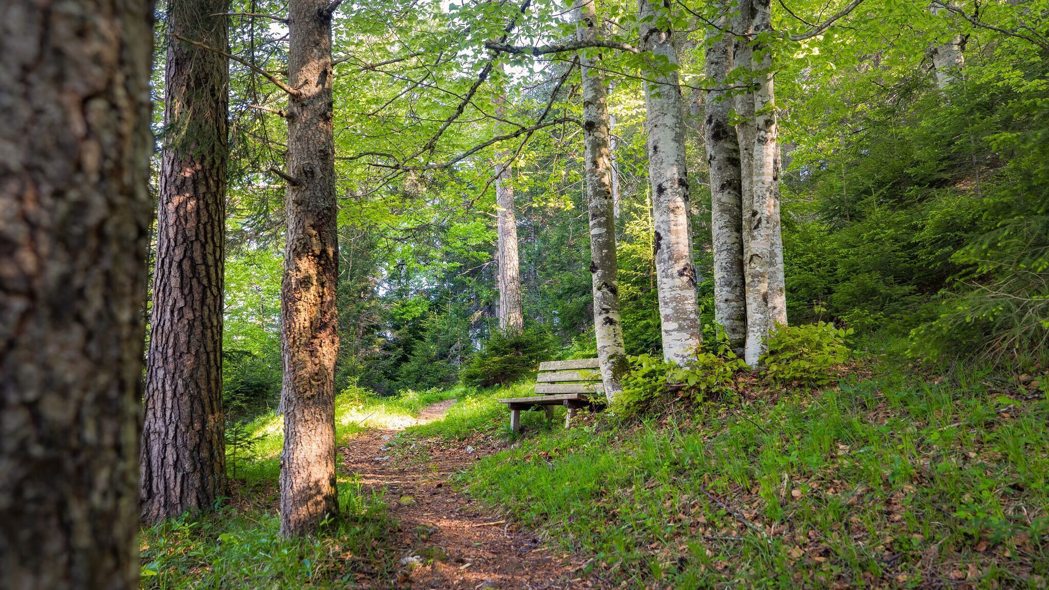
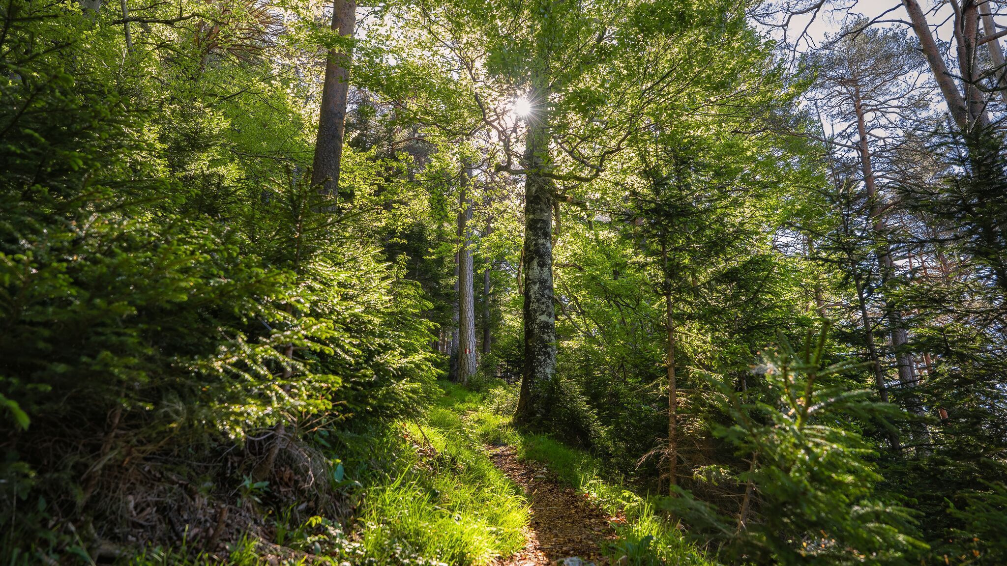
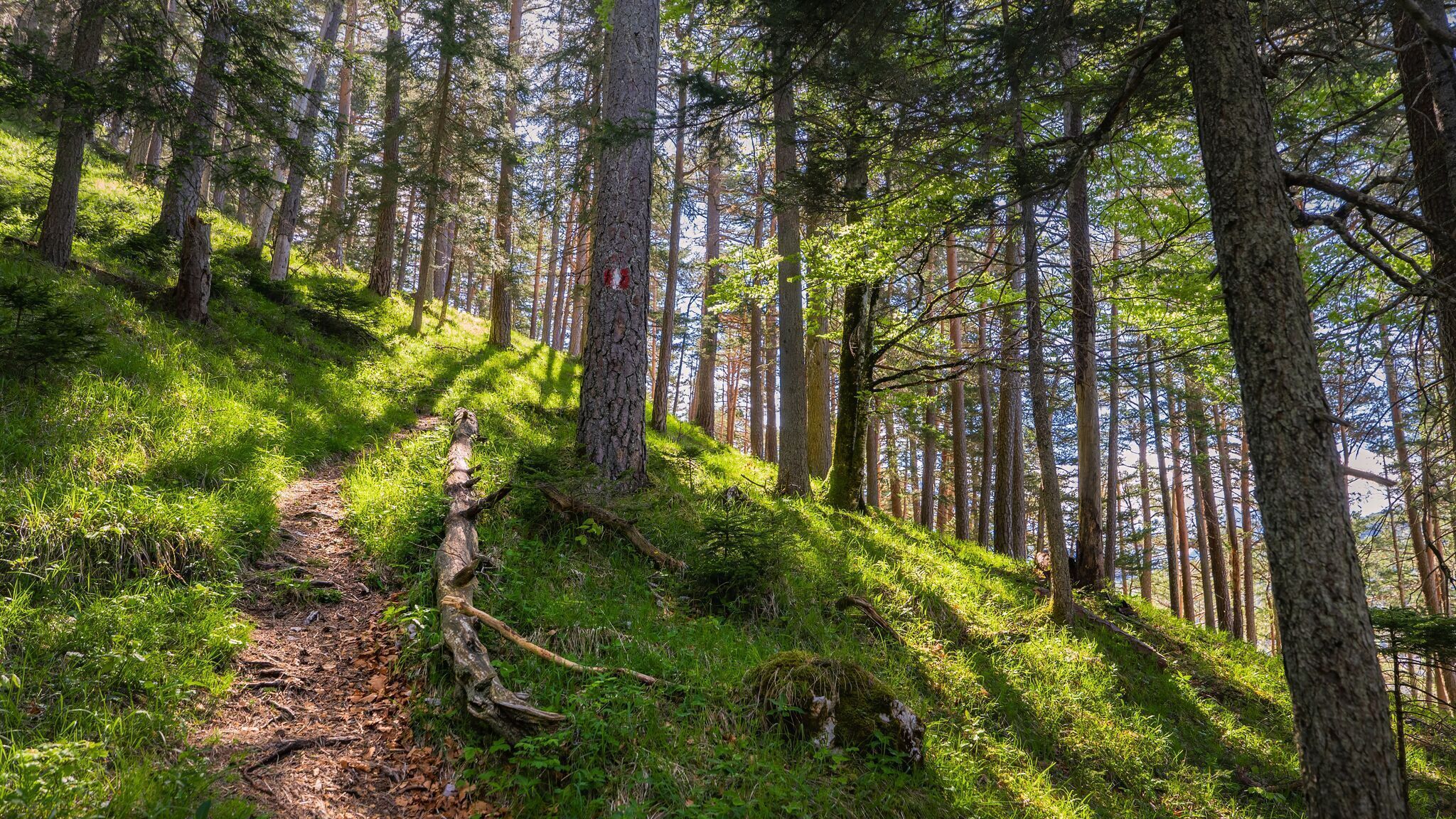
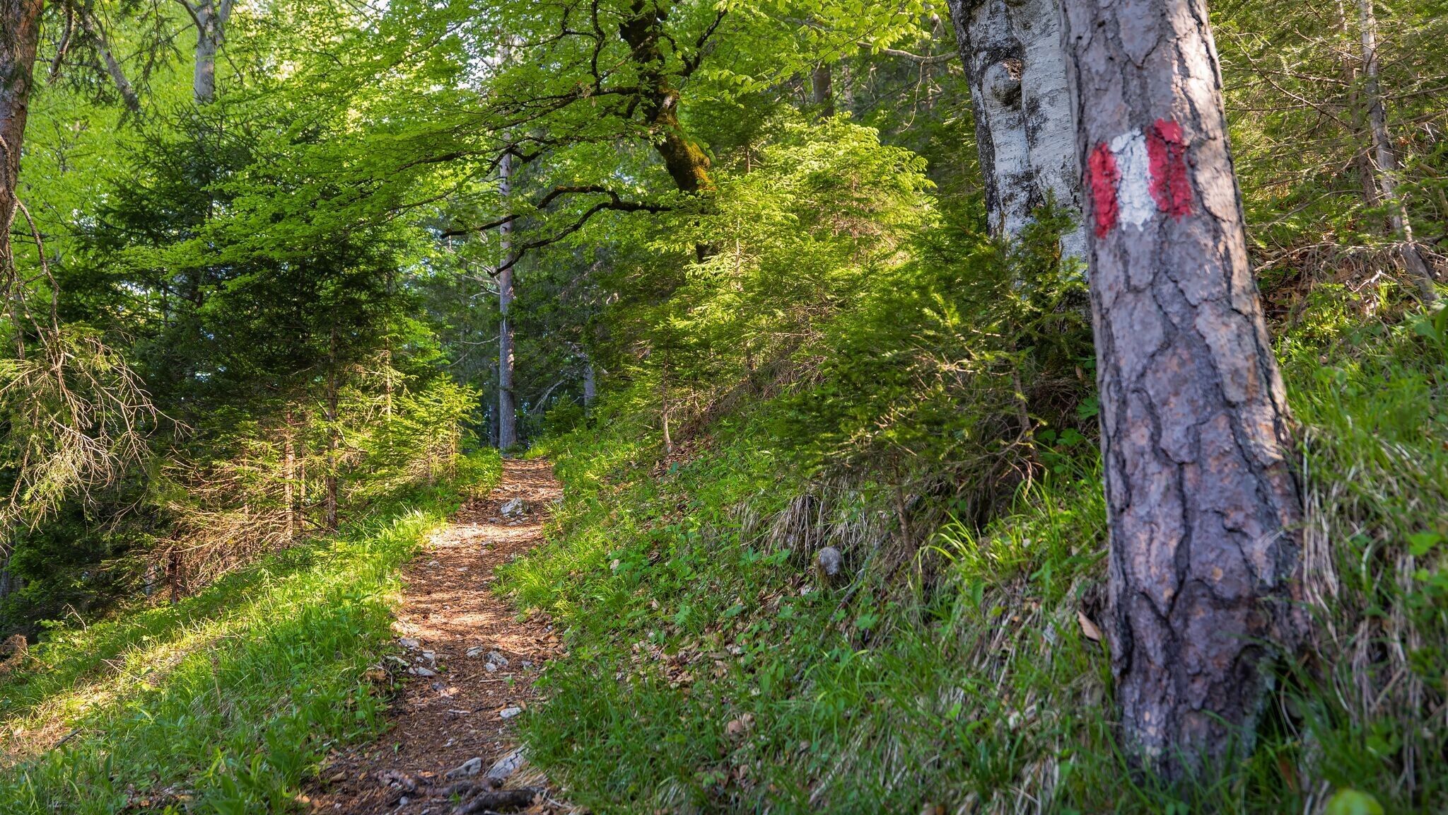

Woodland path.
All current information about the trail closures in the Region Seefeld can be found here.
Have you been out and about in the Region and discovered a spot that we should rework or repair? Fill out the form "Report a danger zone" and let us know where work is needed.
Sturdy hiking shoes, functional clothing, a backpack, water, snacks, basic fitness, and sure-footedness are recommended for this hike.
Additionally, a hiking map or GPS, a first aid kit, sun protection, and hiking poles are advisable.
From the Nature Park Info Center in Scharnitz (P2), the trail leads gently along the Isarpromenade. After crossing the Isar bridge, turn left and follow the Inrainstraße.
Shortly before reaching the railway underpass, a sign points to the right towards Adlerkanzel. At a fork in the path with a small bench, keep left and continue uphill on the marked trail. The path winds through the forest in switchbacks and becomes steeper in some sections.
At the top, you’ll reach the Adlerkanzel viewpoint, where a stunning panoramic view over the entire village awaits. It’s a perfect spot to pause, take a deep breath, and enjoy the surroundings.
For the return, simply follow the same path back down to the valley.
By train to Scharnitz train station, then a 10-minute walk to the starting point at the Nature Park Information Center.
All real-time connections can be found in the route planner.


.jpg")

.jpg")


.jpg")


 (2).jpg")
.jpg")
.jpg")


