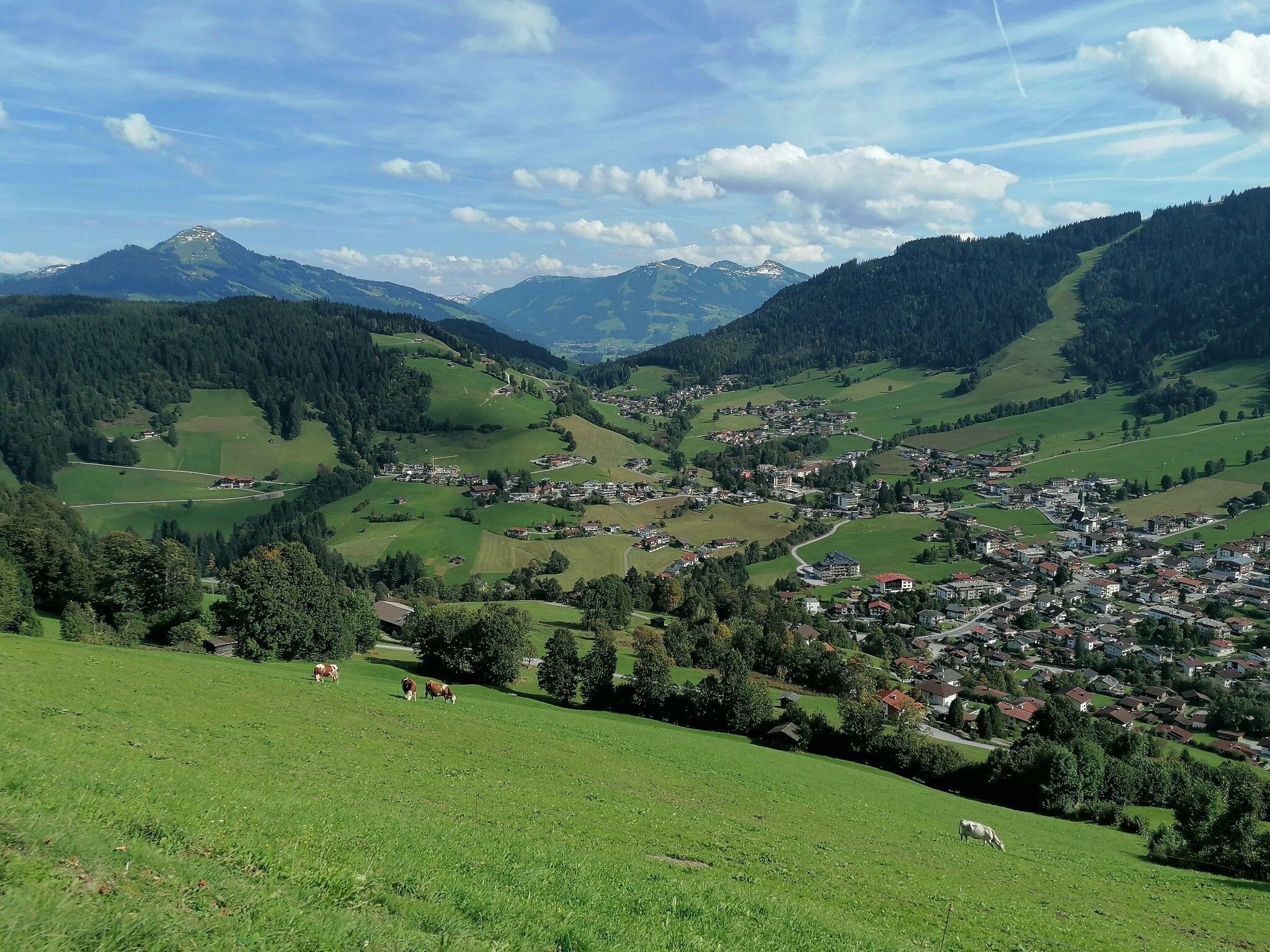
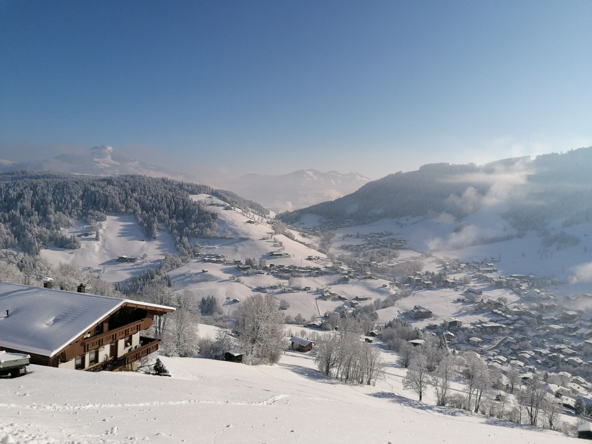
The Wildschönau High TrailDifficulty:mediumLength:14.8 kmDuration:6:30 hElevation uphill:760 mSee trailSee trail: The Wildschönau High Trail
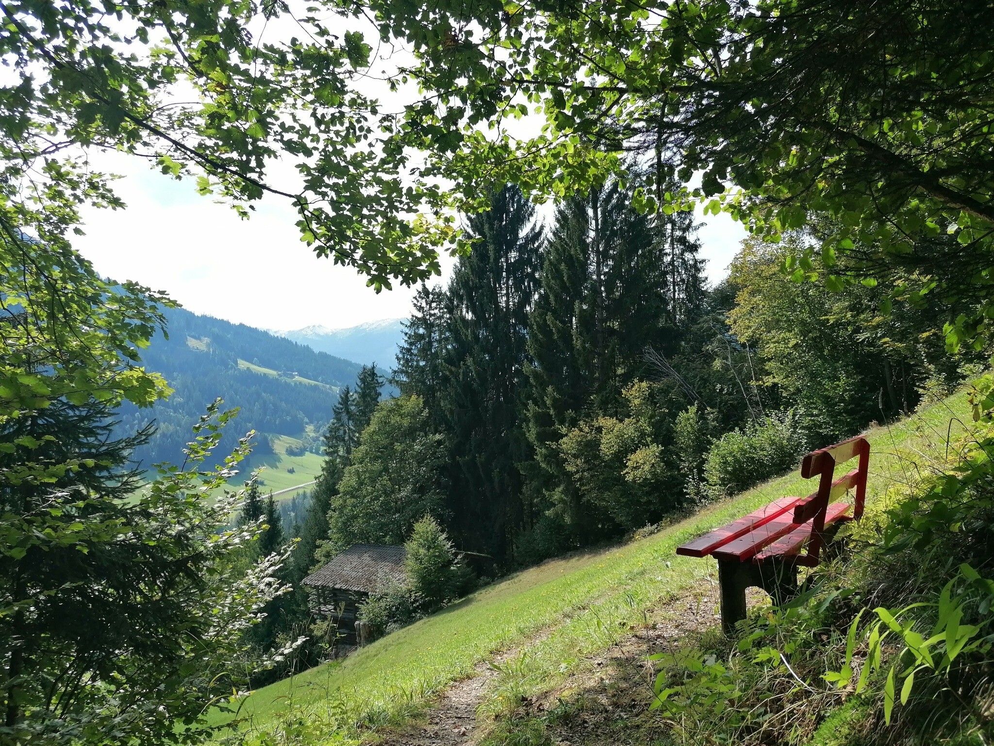
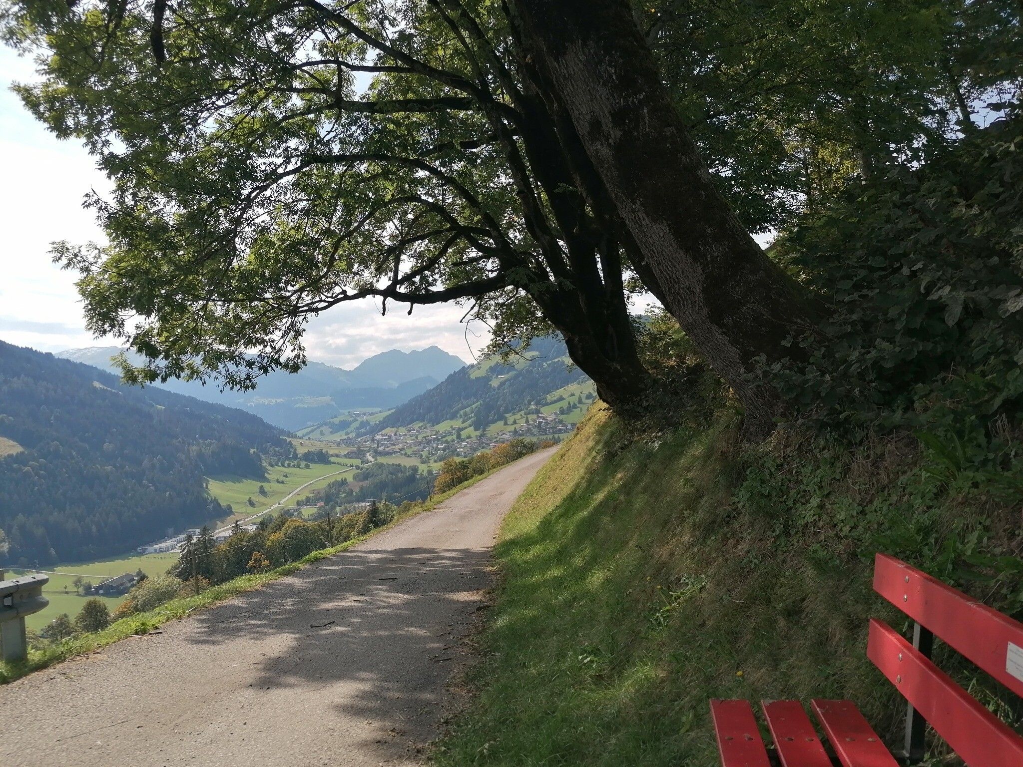
Wildschönau Oberau Achentalalm © Wildschönau Tourismus Oberau - KragenjochkreuzDifficulty:mediumLength:7.9 kmDuration:3:00 hElevation uphill:513 mSee trailSee trail: Oberau - Kragenjochkreuz
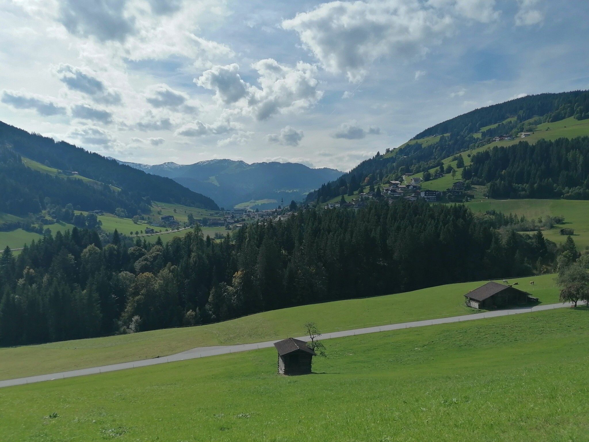
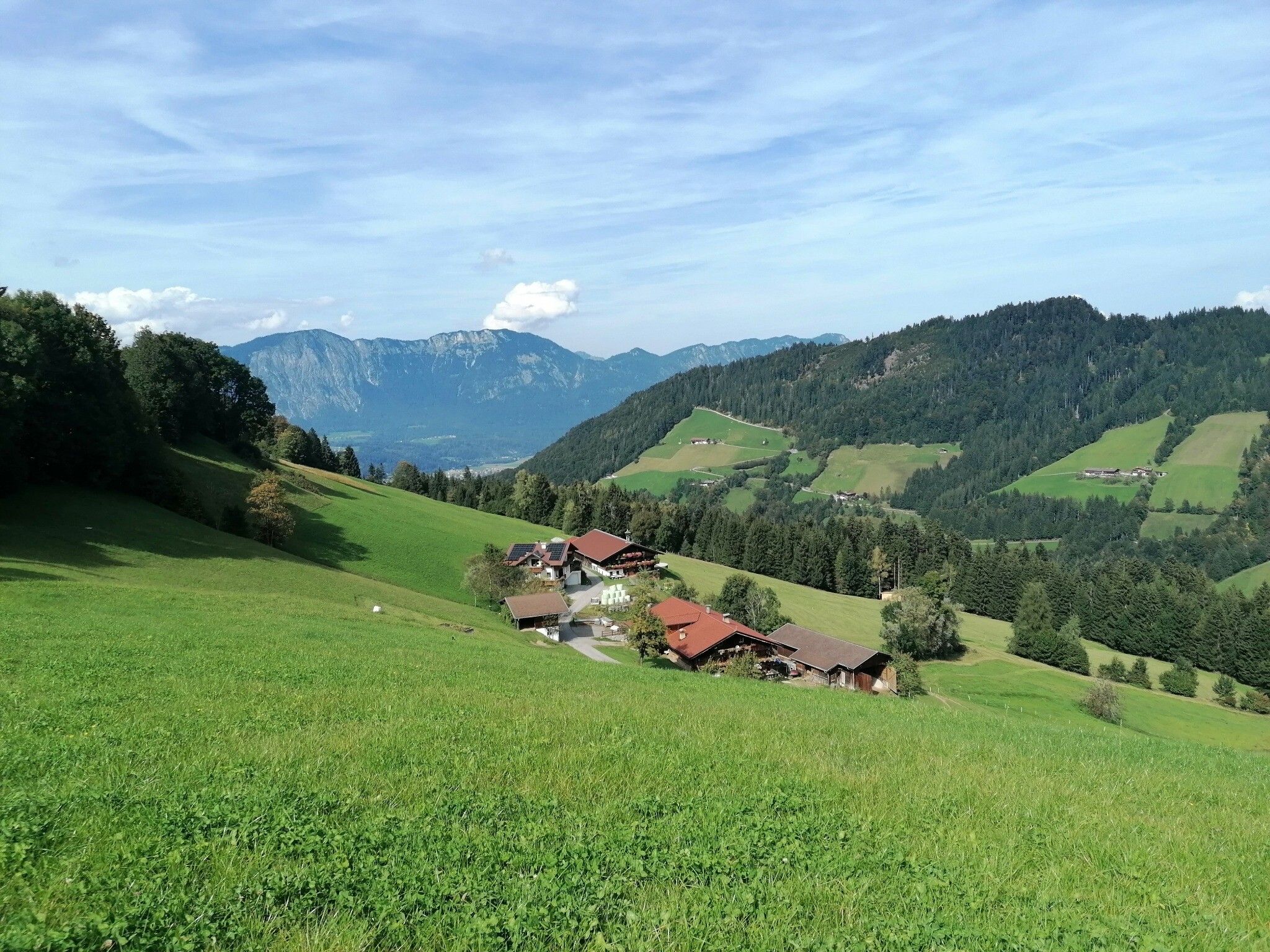
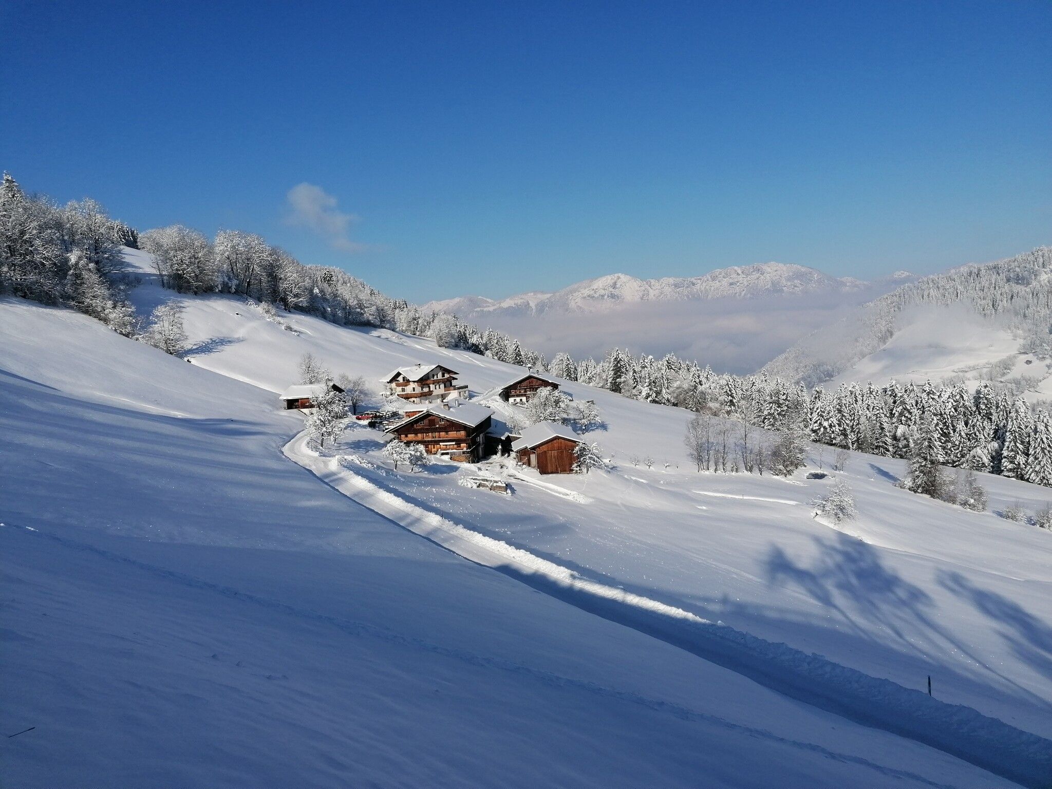
Breitegg tourDifficulty:mediumLength:11.0 kmDuration:5:00 hElevation uphill:680 mSee trailSee trail: Breitegg tour
Kundl GorgeOpening hours:openDifficulty:easyLength:6.5 kmDuration:3:00 hElevation uphill:10 mSee trailSee trail: Kundl Gorge
Wildschönau Niederau Markbachjoch Kapelle Winter.jpg © Wildschönau Tourismus Winterwanderung Markbachjoch - NiederauDifficulty:mediumLength:10.5 kmDuration:4:00 hElevation uphill:56 mGo to winter hikeGo to winter hike: Winterwanderung Markbachjoch - Niederau
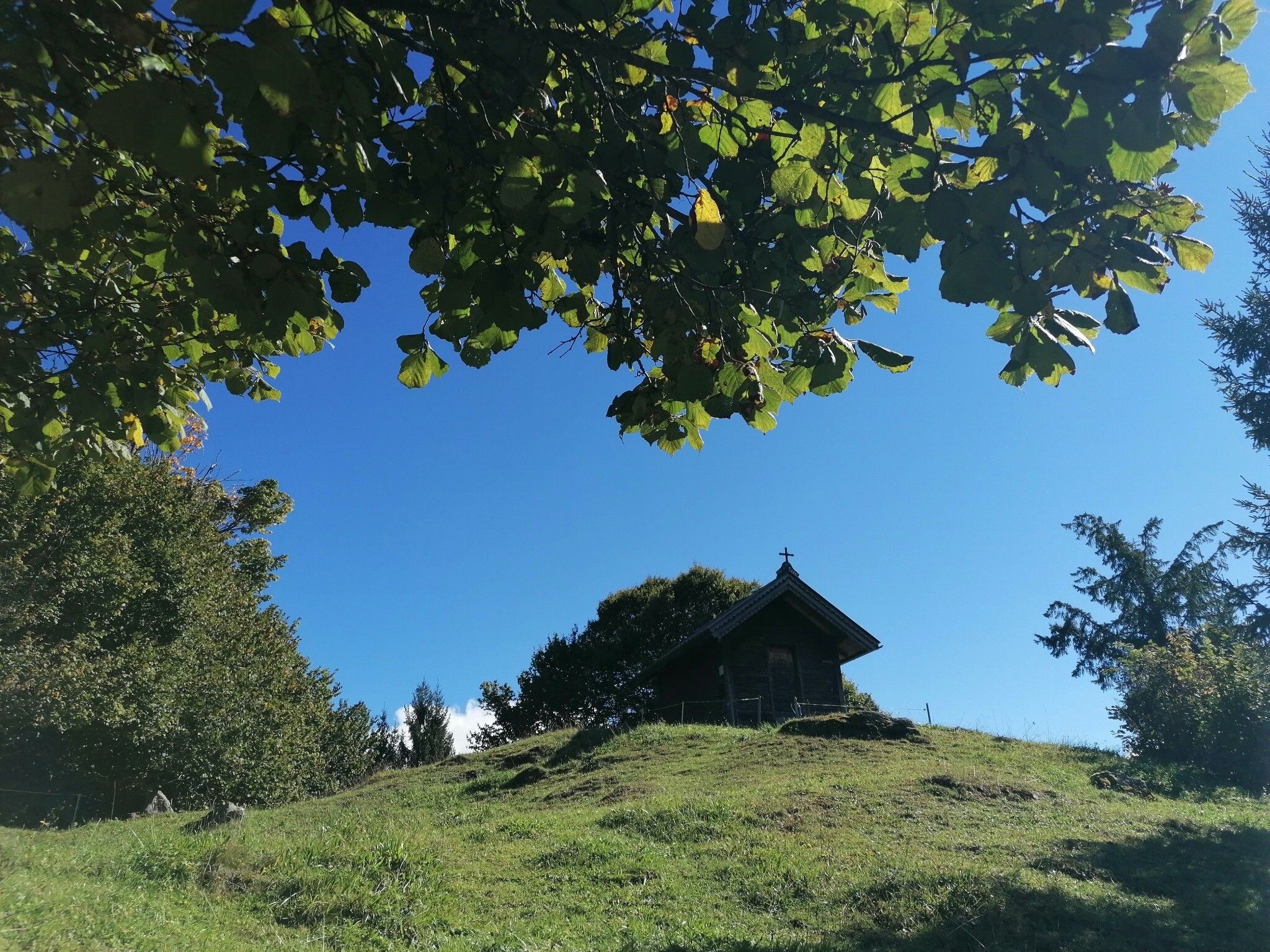
Wildschönau Auffach Kapelle Schönanger.jpg © Wildschönau Tourismus Winter walk SchönangerDifficulty:easyLength:3.6 kmDuration:1:00 hElevation uphill:80 mGo to winter hikeGo to winter hike: Winter walk Schönanger
Give feedback for a chance to win a special holiday experience!Click here for the surveyClick here for the survey
.jpg")


.jpg")
.jpg")


