Arrival by public transport
Hiking bus to Hoch-Imst
information on the current bus times can be found here:
Startseite • Verkehrsverbund Tirol (vvt.at)
"Imster Höhenweg: challenging ridge hike in high alpine terrain"
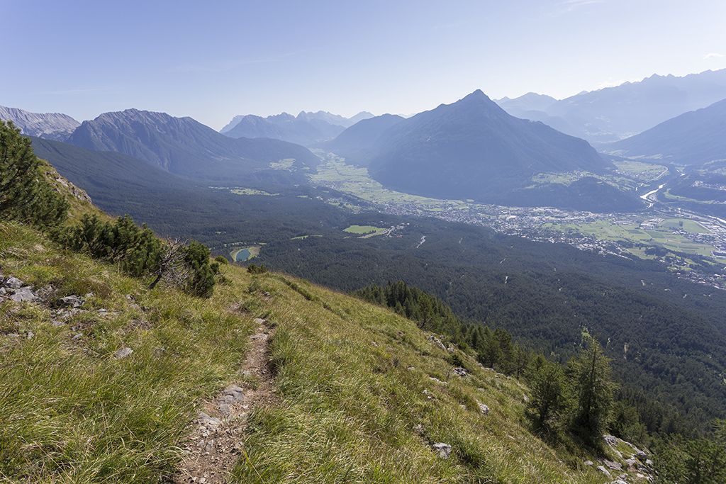
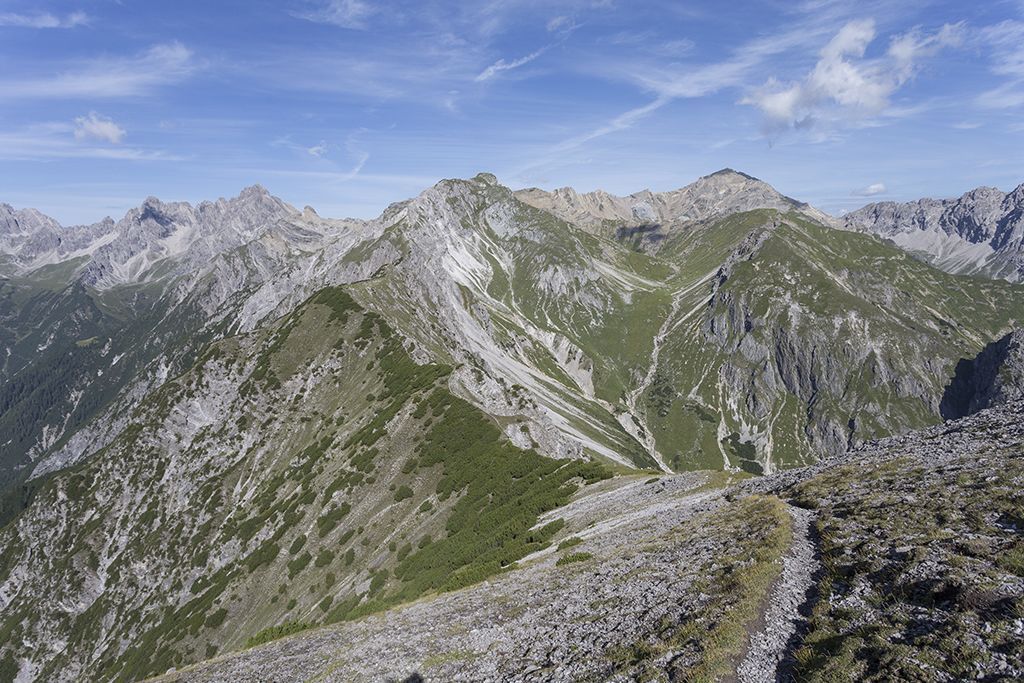
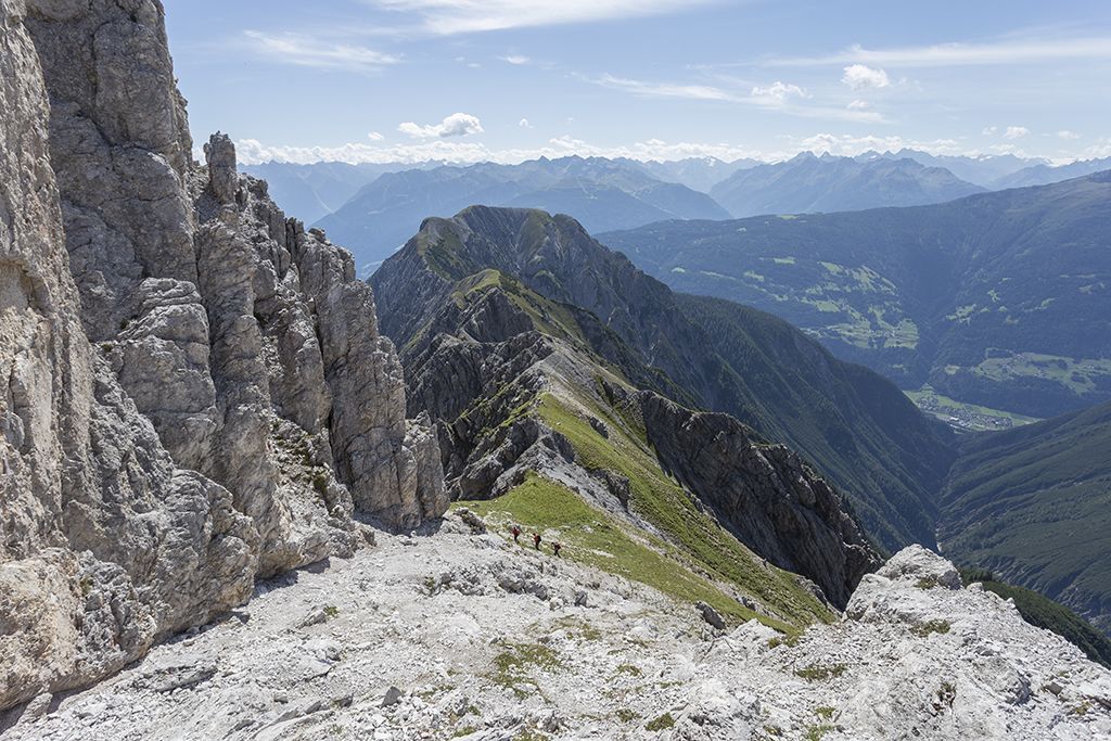
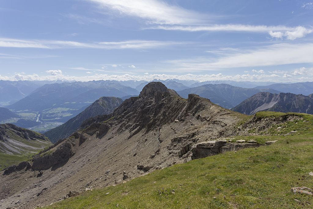
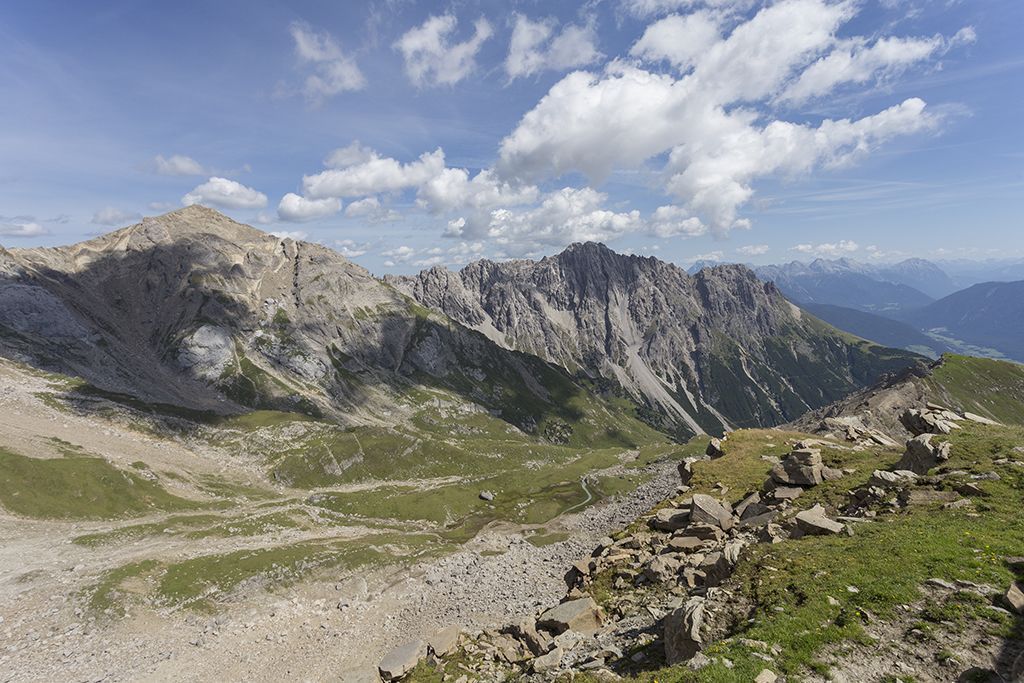
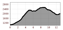
Embark on the adventure of the Imster Höhenweg - a high alpine ridge hike that requires excellent fitness, surefootedness and a head for heights. The trail is very steep in parts and even secured by ropes in some places. With a challenging ascent of 1762 vertical meters over 13 kilometers, this is not a hike for beginners. Enjoy the breathtaking views from the Laggers to the Pleiskopf before descending to the Muttekopfhütte and returning to the lift via the Drischlsteig.
Ready for the ultimate high alpine and ridge hiking experience?
ATTENTION: Please note the operating times of the Imster Bergbahnen.
Refreshment stops: Muttekopfhütte
Highlights: Muttekopf rest area, waterfall, Adlerhorst viewing platform, SunOrama panoramic terrace
Further information about the tour (detailed route description with waypoints, further information, photos,
map) can also be found in the hiking guide "Wanderführer Ferienregion Imst" (tour no. 27) published by AM-BERG Verlag
Hiking bus to Hoch-Imst
information on the current bus times can be found here:
Startseite • Verkehrsverbund Tirol (vvt.at)
Parking lot of the Imster Bergbahnen


