
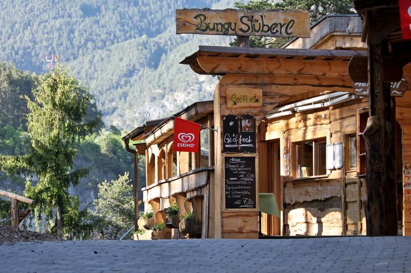
Opening hours:Today closed
Place:Arzl im Pitztal
:Restaurant, Alpine pasture / hut / mountain restaurant
IVV Wald panoramic route
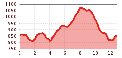
Starting point: Arzl tourist information office/IVV stamp office. The circular route starts opposite the hairdresser, to the right of the veterinary clinic. Passing the clinic, continue around the Osterstein to the sports grounds of Arzl. From there, walk on in the direction of the village centre and just before the ‘Magnus Chapel‘ follow a steep
path to the ‘Benni-Raich bridge‘. Cross the bridge, then turn left and follow the farm track to Wald village centre and continue to Wald sports grounds. From there continue to walk to Schwaighof and then on a farm track in the direction of Arzl-Ried. Another farm track running in parallel to the country road a little further uphill will tak e you
back to the fire station in Wald. To return to the starting point, cross the ‘Benni-Raich bridge‘ and walk on the country road.


