

Opening hours:Open today
Place:Ried im Oberinntal
:Restaurant, Alpine pasture / hut / mountain restaurant
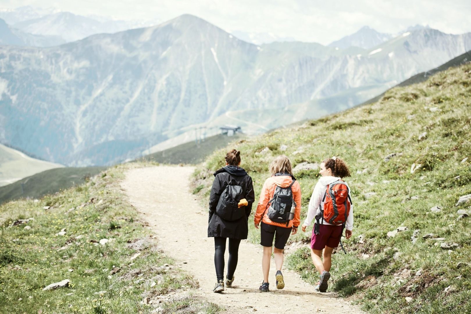
An enjoyable mountain hike from Serfaus up to Komperdell: the route leads through forests, along the Six Senses Trail, past Hög and Hög Alm to Murmliwasser before returning to Serfaus via the Wiesenweg trail.
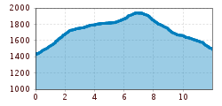
From Serfaus (S089, Mühlbrücke bridge) up the steep asphalted path no. 11 in the direction Komperdell to the cow grating and gate (S092). From here onward to path no. 12 and later follow the Six Senses trail to the signpost (S140). Along a vehicle track upward to the next crossing (S139), onward on trail 12a through the Brunstwald forest and at singpost (S128) to path no. 12 until Ausserhöhkreuz (S150). On Waalweg (brook trail) 12b until signpost (S154), along the Six Senses trail to the crossing (S155). There upwards past the crossing (S120) and walk until the Hög (S119, observatory). Follow trail no. 12a, pass the Hög Alm and walk to the crossing (S115). Follow the trail upwards along the Oberer Komperdellboden glade to the crossing (S114). On the Crashed Plane westwards until the signpost at Murmliwasser (S102). Get back to
Serfaus on Wiesenweg trail no. 9.
Travel by train to Landeck-Zams railway station. From there, change to bus line 220 towards Serfaus-Fiss-Ladis.
By car, take the A12 to the Landeck exit, then follow the B171 and L19 towards Serfaus. Serfaus has traffic-calmed streets. Day visitors should park their cars in the car park at the entrance to the village and then take the underground to the starting point of the tour. Guests staying in Serfaus can drive right up to their accommodation.
Parking is available at the car park at the entrance to Serfaus. From there, you can take the underground railway to the village centre or the starting point of the tour.


